Black Hill
Hill, Mountain in Somerset Somerset West and Taunton
England
Black Hill
Black Hill is a prominent hill located in the county of Somerset, England. It lies within the Mendip Hills Area of Outstanding Natural Beauty, offering stunning panoramic views of the surrounding countryside. With an elevation of approximately 336 meters (1,102 feet), it is considered as one of the highest points in this region.
The hill is characterized by its distinctive dark-colored rock formations, which are primarily composed of Carboniferous Limestone. These limestone outcrops create a unique and dramatic landscape, attracting geologists and nature enthusiasts alike. The hill's geology also contributes to its rich biodiversity, supporting a variety of plant and animal species.
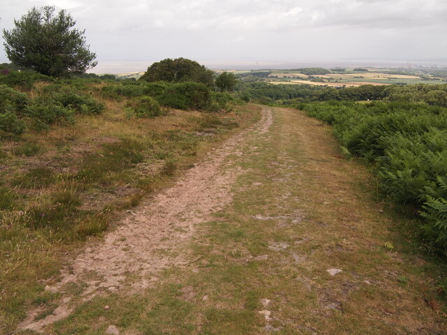
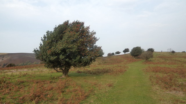
Black Hill is a popular destination for outdoor activities such as hiking and walking, with numerous footpaths and trails crisscrossing its slopes. The hill offers a range of routes suitable for both experienced hikers and casual walkers, catering to different fitness levels and preferences. Along these trails, visitors can enjoy picturesque views of the surrounding countryside, including the nearby towns and villages nestled amidst the rolling hills.
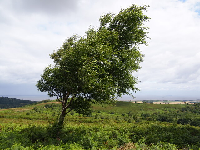
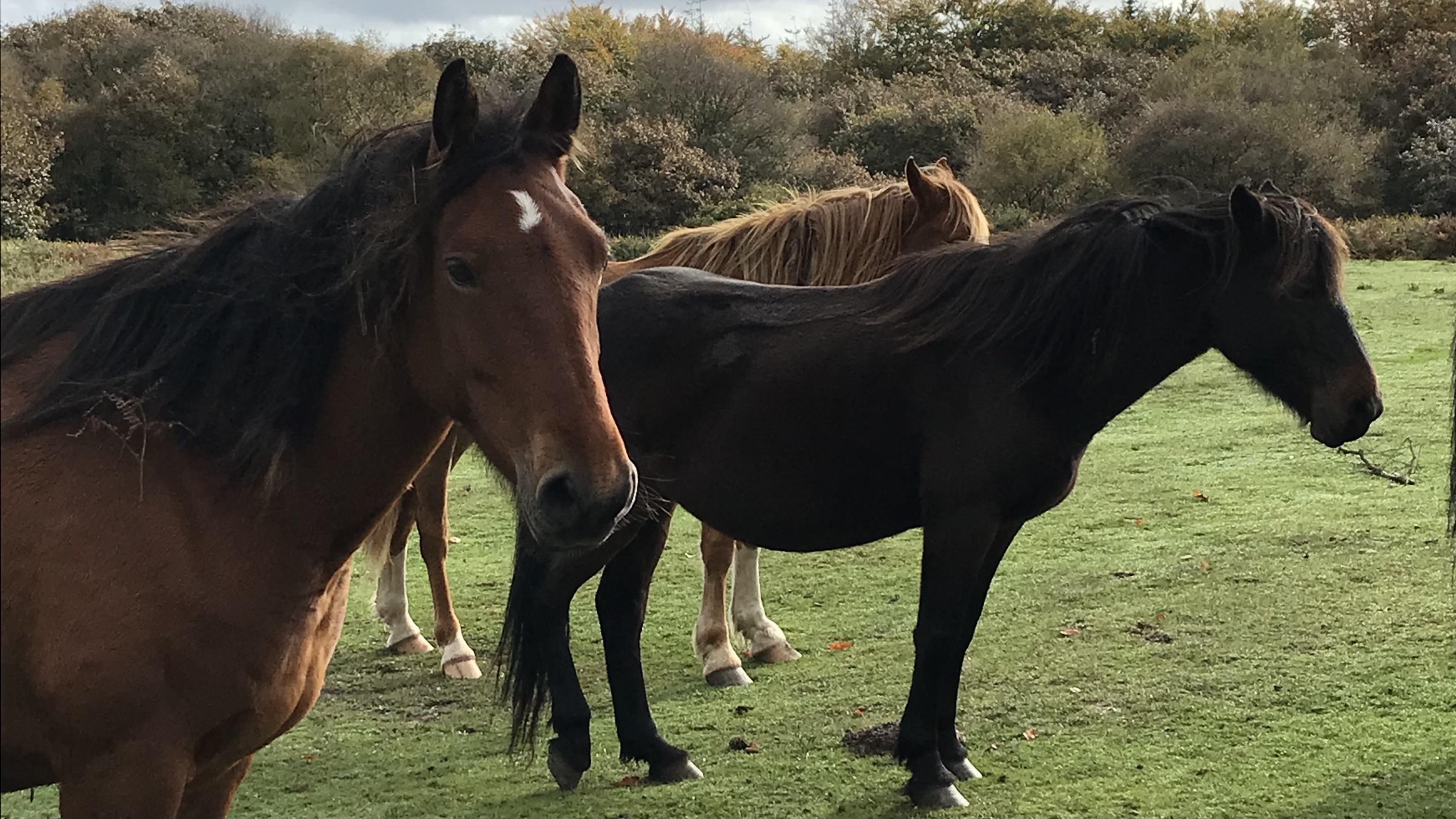
The summit of Black Hill provides a vantage point to admire the breathtaking vistas of Somerset and beyond. On clear days, visitors can see as far as the Bristol Channel, the Quantock Hills, and even the distant South Wales coastline. The area is also known for its diverse wildlife, including birds of prey, butterflies, and wildflowers, making it a haven for nature enthusiasts and photographers.
Overall, Black Hill is a remarkable natural landmark in Somerset, offering a combination of natural beauty, geological interest, and recreational opportunities for visitors to enjoy.
If you have any feedback on the listing, please let us know in the comments section below.
Black Hill Images
Images are sourced within 2km of 51.135795/-3.2188646 or Grid Reference ST1438. Thanks to Geograph Open Source API. All images are credited.


Black Hill is located at Grid Ref: ST1438 (Lat: 51.135795, Lng: -3.2188646)
Administrative County: Somerset
District: Somerset West and Taunton
Police Authority: Avon and Somerset
What 3 Words
///brisk.tester.accented. Near Nether Stowey, Somerset
Nearby Locations
Related Wikis
Dead Woman's Ditch
Dead Woman's Ditch is an earthwork which has been scheduled as an ancient monument in Over Stowey, Somerset, England situated on the Quantock Hills. A...

Quantock Hills
The Quantock Hills west of Bridgwater in Somerset, England, consist of heathland, oak woodlands, ancient parklands and agricultural land. They were England...
Crowcombe
Crowcombe is a village and civil parish under the Quantock Hills in Somerset, England, 5.5 miles (9 km) southeast of Watchet, and 8 miles (13 km) from...

Crowcombe Court
Crowcombe Court in Crowcombe, Somerset, England is a large country house dating from 1724 to 1739. It is Grade I listed.It was built, in English regional...

Dowsborough
Dowsborough Camp (or Danesborough or Dawesbury) is an Iron Age hill fort on the Quantock Hills near Nether Stowey in Somerset, England. It has been designated...

Halsway Manor
Halsway Manor (also known as Halsway Court) is a manor house in Halsway, Somerset. It is owned by the Halsway Manor Society who operate the manor as a...

Roebuck Meadows
Roebuck Meadows (grid reference ST132354) is a 3.6 hectare (8.9 acre) biological Site of Special Scientific Interest south of Crowcombe in Somerset, notified...

Holford
Holford is a village and civil parish in West Somerset within the Quantock Hills Area of Outstanding Natural Beauty. It is located about 10 miles (16 km...
Nearby Amenities
Located within 500m of 51.135795,-3.2188646Have you been to Black Hill?
Leave your review of Black Hill below (or comments, questions and feedback).