Green Hill

Hill, Mountain in Peeblesshire

Scotland

Green Hill

Fence junction on Trahenna Hill Modern fencing cutting across an old drystane dyke in the Broughton Heights.
Fence junction on Trahenna Hill Credit: Alan O'Dowd

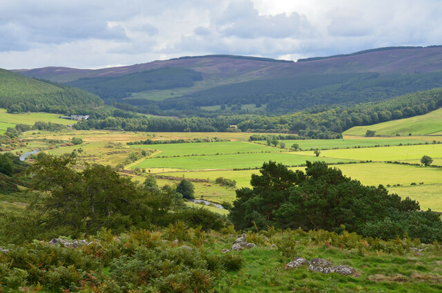
Green Hill is a prominent hill located in the Peeblesshire region of Scotland. Standing at an impressive height of 1,115 feet (340 meters), it is a notable landmark in the area. Situated about 6 miles south of the town of Peebles, Green Hill is part of the picturesque Tweed Valley, surrounded by lush greenery and rolling hills.

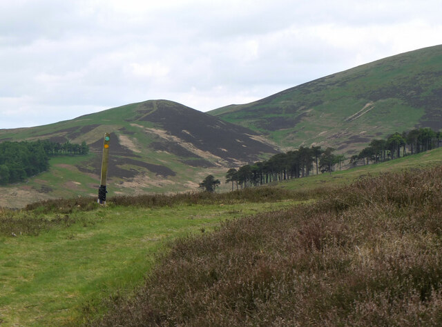
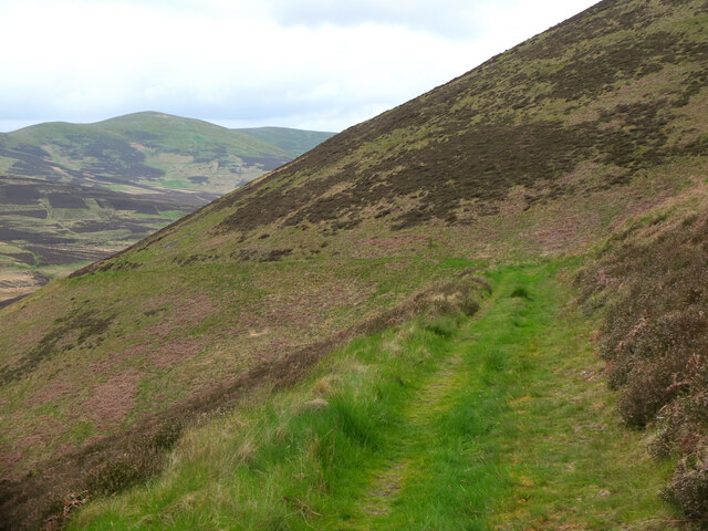
The hill is characterized by its distinct conical shape, with a gentle slope on one side and a steeper ascent on the other. It offers breathtaking panoramic views of the surrounding countryside, including the Tweed Valley, the Eddleston Water, and the nearby Pentland Hills. On a clear day, visitors can even catch a glimpse of the distant peaks of the Southern Uplands.

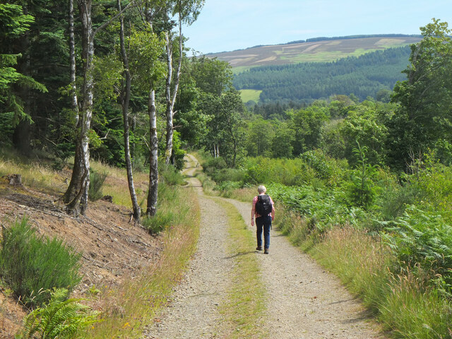
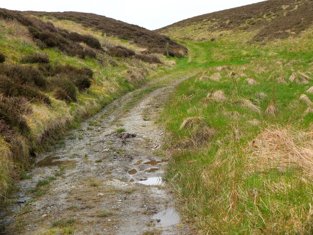
Green Hill is a popular destination for outdoor enthusiasts, attracting hikers, nature lovers, and photographers alike. There are several well-marked trails that lead to the summit, catering to different skill levels. The ascent provides a rewarding challenge, with a mix of grassy slopes, rocky terrain, and occasional patches of heather.

The hill is rich in flora and fauna, supporting a diverse range of plant and animal species. It is home to various bird species, including the elusive peregrine falcon and the red grouse. The surrounding woodlands are filled with native trees such as oak, birch, and rowan.

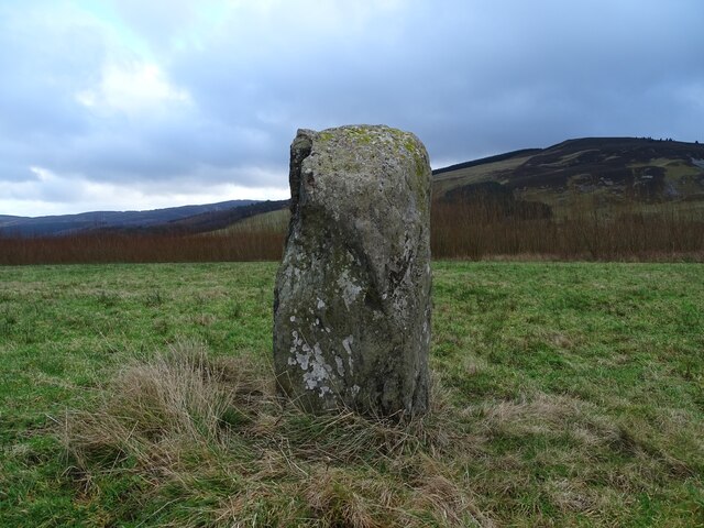
Green Hill is not only a natural gem but also a historical site. It has remnants of ancient settlements, including stone circles and burial cairns, hinting at its significance in the past. Today, it stands as a testament to the beauty and rich heritage of Peeblesshire, attracting visitors from far and wide.

If you have any feedback on the listing, please let us know in the comments section below.
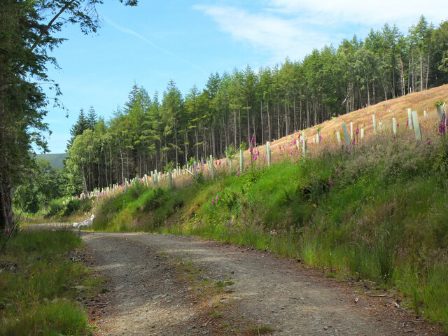
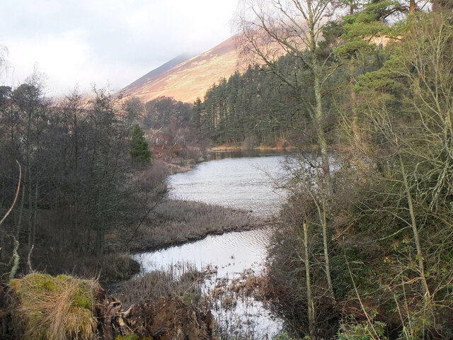
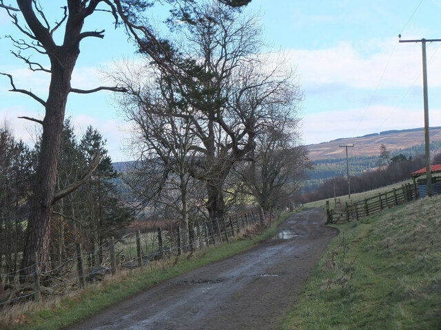
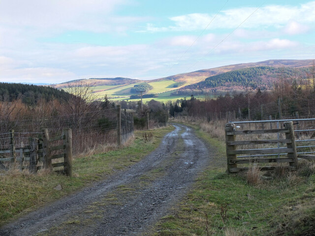
Green Hill Images

Images are sourced within 2km of 55.617921/-3.3558804 or Grid Reference NT1436. Thanks to Geograph Open Source API. All images are credited.

Fence junction on Trahenna Hill Modern fencing cutting across an old drystane dyke in the Broughton Heights.
Fence junction on Trahenna Hill
Modern fencing cutting across an old drystane dyke in the Broughton Heights.
Undulating moorland on Trahenna Hill Low winter sunlight on the Broughton Heights, in the north-western corner of the Scottish Borders.
Undulating moorland on Trahenna Hill
Low winter sunlight on the Broughton Heights, in the north-western corner of the Scottish Borders.
Drumelzier Standing Stone The standing stone near Drumelzier.
Photo taken on the 2nd January 2022.
Drumelzier Standing Stone
The standing stone near Drumelzier. Photo taken on the 2nd January 2022.
Trahenna Hill viewed from hillside above Dreva Hope Part of the Broughton Heights group of hills, Trahenna Hill rises to 549 metres above sea level.
Trahenna Hill viewed from hillside above Dreva Hope
Part of the Broughton Heights group of hills, Trahenna Hill rises to 549 metres above sea level.
Remains of a van below Trahenna Hill The old Bedford van/shed photographed by Richard Webb in 2005 (<a href="https://www.geograph.org.uk/photo/44843">NT1336 : Old van, Dreva</a>) has now completely fallen apart, leaving something of an eyesore.
Remains of a van below Trahenna Hill
The old Bedford van/shed photographed by Richard Webb in 2005 (NT1336 : Old van, Dreva) has now completely fallen apart, leaving something of an eyesore.
Remains of a van below Trahenna Hill The old Bedford van/shed photographed by Richard Webb in 2005 (<a href="https://www.geograph.org.uk/photo/44843">NT1336 : Old van, Dreva</a>) has now completely fallen apart, leaving something of an eyesore.

And all with only 80,000-odd miles on the clock – although it may have gone round the clock more than once.
Remains of a van below Trahenna Hill
The old Bedford van/shed photographed by Richard Webb in 2005 (NT1336 : Old van, Dreva) has now completely fallen apart, leaving something of an eyesore. And all with only 80,000-odd miles on the clock – although it may have gone round the clock more than once.
Near the summit of Trahenna Hill Looking across towards Hammer Head in the Broughton Heights.
Near the summit of Trahenna Hill
Looking across towards Hammer Head in the Broughton Heights.
Woodland on Tarcreish Coniferous woodland on the north side of this hill on the Stobo estate.
Woodland on Tarcreish
Coniferous woodland on the north side of this hill on the Stobo estate.
On the track to Stobo An estate track following the course of the Weston Burn towards Home Farm.
On the track to Stobo
An estate track following the course of the Weston Burn towards Home Farm.
Tree planting on Harrow Hill Broadleaved trees have been planted around the edge of the clear-felled section shown in <a href="https://www.geograph.org.uk/photo/6789832">NT1637 : Clear-felled ground, Harrow Hill</a>.
Tree planting on Harrow Hill
Broadleaved trees have been planted around the edge of the clear-felled section shown in NT1637 : Clear-felled ground, Harrow Hill.
Hill Loch, Stobo The loch on the Weston Burn with the slopes of Penvalla in the background.
Hill Loch, Stobo
The loch on the Weston Burn with the slopes of Penvalla in the background.
Track to Stobo The farm track from Stobohope along the southern side of the Weston Burn.
Track to Stobo
The farm track from Stobohope along the southern side of the Weston Burn.
Farm track from Stobohope The track to Stobo Castle and Home Farm. The dip in the skyline ahead is the route of the John Buchan Way over the ridge to Glack Hope and the Manor Valley.
Farm track from Stobohope
The track to Stobo Castle and Home Farm. The dip in the skyline ahead is the route of the John Buchan Way over the ridge to Glack Hope and the Manor Valley.
Track on Hammer Rig Approaching the summit of the pass between Stobo and the valley of Stobo Hope.
Track on Hammer Rig
Approaching the summit of the pass between Stobo and the valley of Stobo Hope.
The pass on Hammer Rig The highest point of the track between Stobo and Stobo Hope, used by the John Buchan Way.  The small hill to the left is Louden Knowe with Trahenna to the right.
The pass on Hammer Rig
The highest point of the track between Stobo and Stobo Hope, used by the John Buchan Way. The small hill to the left is Louden Knowe with Trahenna to the right.
Track on Hammer Knowe The track traverses the steep west side of the hill with good views towards the Broughton Hills.
Track on Hammer Knowe
The track traverses the steep west side of the hill with good views towards the Broughton Hills.
Hill Loch, Stobo A loch formed by a dam on the Weston Burn.
Hill Loch, Stobo
A loch formed by a dam on the Weston Burn.
Flood plain of the Tweed, Drumelzier Flat fields bordering the river seen from the summit of Dreva Craig.
Flood plain of the Tweed, Drumelzier
Flat fields bordering the river seen from the summit of Dreva Craig.
Show me another place!

Green Hill is located at Grid Ref: NT1436 (Lat: 55.617921, Lng: -3.3558804)

Unitary Authority: The Scottish Borders

Police Authority: The Lothians and Scottish Borders

What 3 Words

///liver.dwarf.drops. Near Biggar, South Lanarkshire

Nearby Locations

Green Hill

Related Wikis

Dreva on Tweed

Dreva on Tweed (or simply Dreva) is a hamlet in the Scottish Borders. It was historically in Peebles-shire. It is noted for the historical presence of...

Bellspool

Bellspool is a village in the Scottish Borders area of Scotland, near to Drumelzier, Hopcarton and Kingledoors == See also == List of places in the Scottish...

Biggar Water

Biggar Water is a river in Lanarkshire and Peeblesshire, in the Southern Uplands of Scotland. It forms part of the River Tweed system. It rises, as Biggar...

Upper Tweeddale National Scenic Area

The Upper Tweeddale National Scenic Area lies in the Borders region of Scotland. It is one of 40 national scenic areas (NSA) in Scotland, which are defined...

Have you been to Green Hill?

Leave your review of Green Hill below (or comments, questions and feedback).