Serjeant's Hill

Hill, Mountain in Perthshire

Scotland

Serjeant's Hill

Lornty Burn The glen of the Lornty Burn, descending from moorland.
Lornty Burn Credit: Richard Webb

The requested URL returned error: 429 Too Many Requests

If you have any feedback on the listing, please let us know in the comments section below.

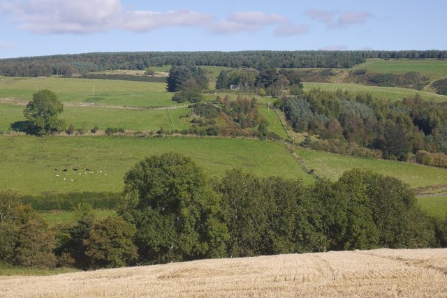
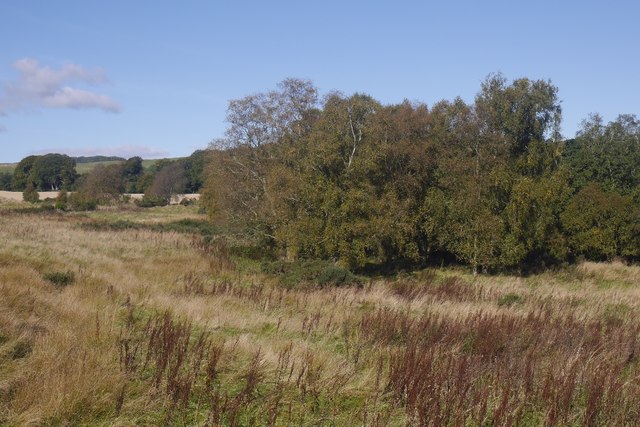
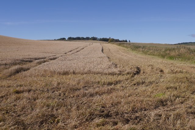
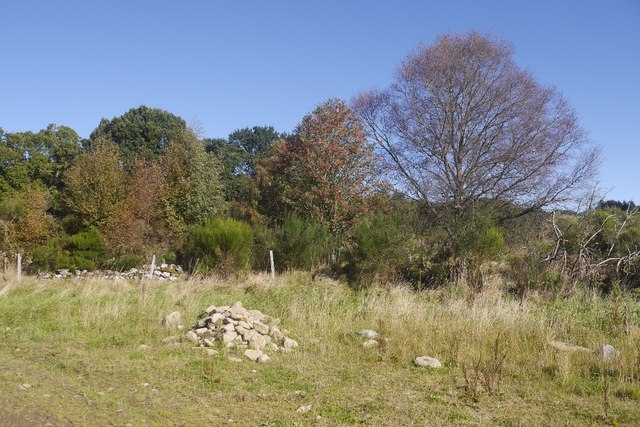
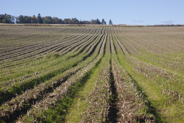
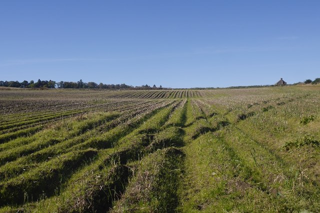
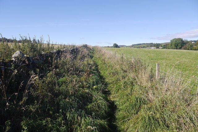
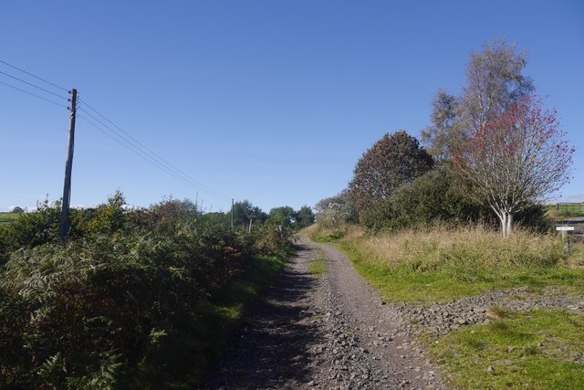
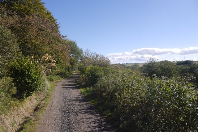
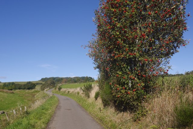
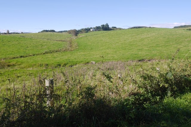
Serjeant's Hill Images

Images are sourced within 2km of 56.613652/-3.3925889 or Grid Reference NO1447. Thanks to Geograph Open Source API. All images are credited.

Lornty Burn The glen of the Lornty Burn, descending from moorland.
Lornty Burn
The glen of the Lornty Burn, descending from moorland.
Stubble, East Gormack
View towards Glasclune Castle From East Gormack.
View towards Glasclune Castle
From East Gormack.
Cateran Trail, East Gormack The start of an uncomfortable section of path: narrowly fenced in, overgrown and muddy. It soon gives way to pleasant going again.
Cateran Trail, East Gormack
The start of an uncomfortable section of path: narrowly fenced in, overgrown and muddy. It soon gives way to pleasant going again.
Cateran Trail, East Gormack One of those horrid narrow fenced in paths - overgrown and muddy.  The broom is ready to pounce and block the route, fortunately there is enough traffic to keep the plantlife at bay.
Cateran Trail, East Gormack
One of those horrid narrow fenced in paths - overgrown and muddy. The broom is ready to pounce and block the route, fortunately there is enough traffic to keep the plantlife at bay.
Grassy field by the Lornty Burn A contrast to the surrounding arable land.
Grassy field by the Lornty Burn
A contrast to the surrounding arable land.
Barley, East Gormack Taken shortly before the combining started again.
Barley, East Gormack
Taken shortly before the combining started again.
Clearance cairn Stones piled up beside a potato field. They appear to have been recently removed from the field.
Clearance cairn
Stones piled up beside a potato field. They appear to have been recently removed from the field.
Potato field, Gormack Defoliated and awaiting lifting.
Potato field, Gormack
Defoliated and awaiting lifting.
Potato field, West Gormack Awaiting lifting.
Potato field, West Gormack
Awaiting lifting.
Fenced in path, West Gormack One of two such sections of the Cateran Trail near here. A little less objectionable than the one to the east as it is wider and less overgrown.
Fenced in path, West Gormack
One of two such sections of the Cateran Trail near here. A little less objectionable than the one to the east as it is wider and less overgrown.
Road to Millhole Parting of the ways, a road turns off rightwards to Westerton.
Road to Millhole
Parting of the ways, a road turns off rightwards to Westerton.
Road from Millhole One of the outer branches of the tree of roads serving dwellings above Blairgowrie.
Road from Millhole
One of the outer branches of the tree of roads serving dwellings above Blairgowrie.
Road to Middleton Passing a heavily laden rowan.
Road to Middleton
Passing a heavily laden rowan.
Fields by Middleton (Perthshire) Looking towards Westerton.
Fields by Middleton (Perthshire)
Looking towards Westerton.
Road, Serjeant's Hill Access route to an isolated property.
Road, Serjeant's Hill
Access route to an isolated property.
Rough grazing above Middleton Signs and locals both speak of this ground being sometimes grazed by cattle. Today it was the turn of the roe deer.
Rough grazing above Middleton
Signs and locals both speak of this ground being sometimes grazed by cattle. Today it was the turn of the roe deer.
Above Muirton of Drumlochy Sparse woodland and deer fence near Middleton.
Above Muirton of Drumlochy
Sparse woodland and deer fence near Middleton.
Show me another place!

Serjeant's Hill is located at Grid Ref: NO1447 (Lat: 56.613652, Lng: -3.3925889)

Unitary Authority: Perth and Kinross

Police Authority: Tayside

What 3 Words

///slugs.elbow.direction. Near Blairgowrie, Perth & Kinross

Nearby Locations

Serjeant's Hill

Related Wikis

River Ardle

The River Ardle (Scottish Gaelic: Abhainn Àrdail) is a tributary of the River Ericht. It runs for 10 miles (16 km) through Strathardle in Perthshire, Scotland...

Achalader

Achalader (Scottish Gaelic: Achadh Chaladair) is a settlement in the council area of Perth and Kinross, Scotland. Achalader is situated 3 miles (5 kilometres...

Kinloch, Blairgowrie

Kinloch is a hamlet and civil parish immediately north of the Loch of Drumellie, about two miles (three kilometres) west of Blairgowrie in Perth and Kinross...

Rae Loch

Rae Loch is a small lowland freshwater loch that sits directly to the east of Loch of Drumellie into which it flows and is 1.5 miles (2.4 km) to the west...

Nearby Amenities

Located within 500m of 56.613652,-3.3925889
Power: pole
Lat/Long: 56.6129407/-3.3967363
Power: pole
Lat/Long: 56.6130853/-3.3975766
Power: pole
Lat/Long: 56.6132349/-3.3984214
Power: pole
Lat/Long: 56.6127663/-3.399529
Power: pole
Lat/Long: 56.6124634/-3.4002412
The data included in this document is from www.openstreetmap.org. The data is made available under ODbL.

Have you been to Serjeant's Hill?

Leave your review of Serjeant's Hill below (or comments, questions and feedback).