Cefn Crin
Hill, Mountain in Montgomeryshire
Wales
Cefn Crin
The requested URL returned error: 429 Too Many Requests
If you have any feedback on the listing, please let us know in the comments section below.
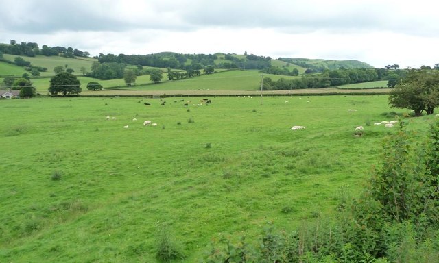
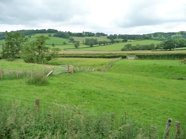
Cefn Crin Images
Images are sourced within 2km of 52.632034/-3.2637704 or Grid Reference SJ1404. Thanks to Geograph Open Source API. All images are credited.


Cefn Crin is located at Grid Ref: SJ1404 (Lat: 52.632034, Lng: -3.2637704)
Unitary Authority: Powys
Police Authority: Dyfed Powys
What 3 Words
///ironic.fondest.sensitive. Near Llanfair Caereinion, Powys
Nearby Locations
Related Wikis
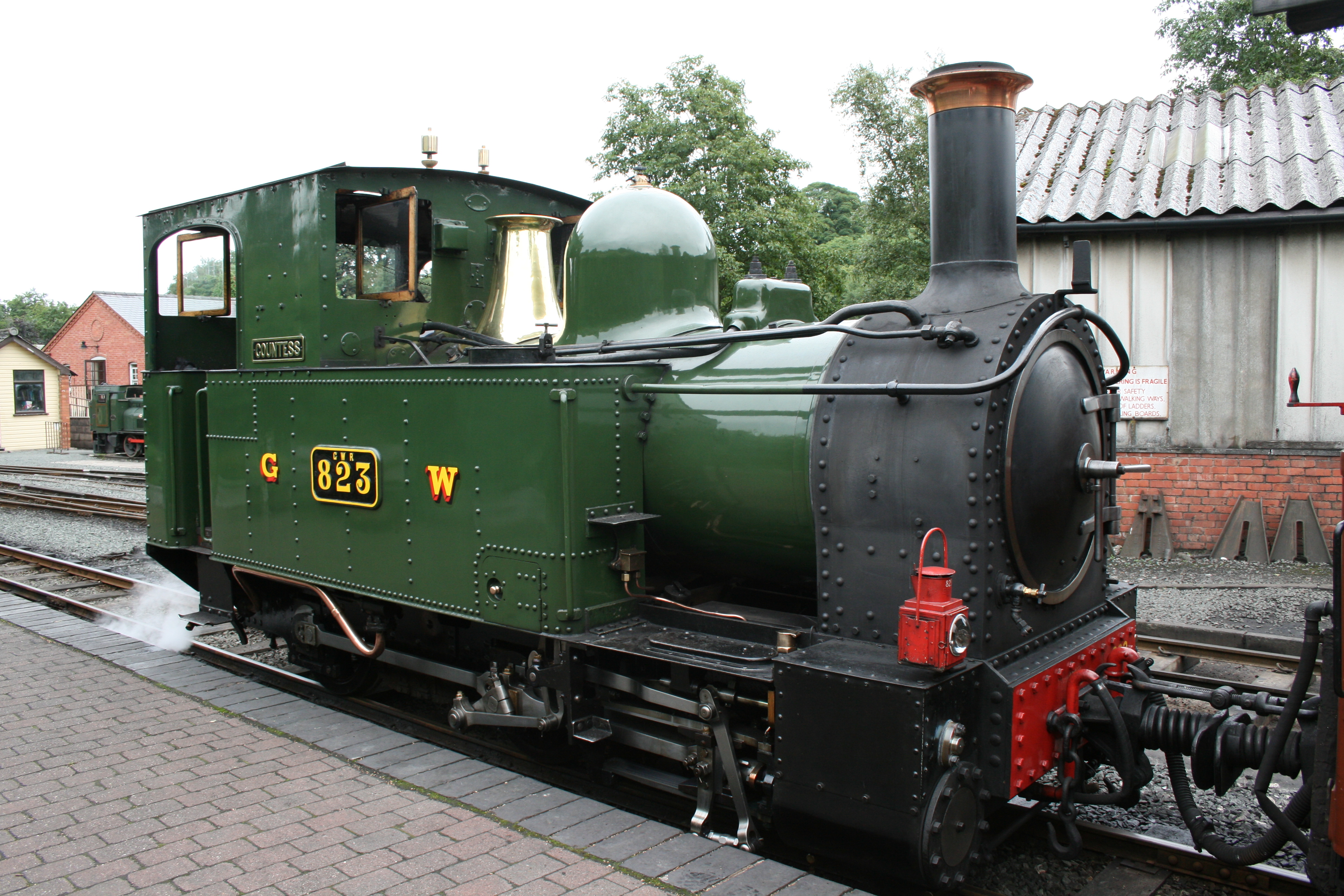
Welshpool and Llanfair Light Railway
The Welshpool and Llanfair Light Railway (W&LLR) (Welsh: Rheilffordd y Trallwng a Llanfair Caereinion) is a 2 ft 6 in (762 mm) narrow gauge heritage railway...
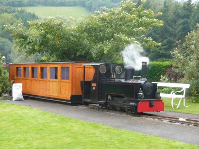
Rhiw Valley Light Railway
The Rhiw Valley Light Railway was a 15 in (381 mm) gauge railway located near to the village of Berriew in Powys, Wales. It closed on 2 October 2022....

Castle Caereinion
Castle Caereinion (Welsh: Castell Caereinion) is a small village and community in Montgomeryshire, Powys, Wales upon the River Banwy, around 8 miles west...

Castle Caereinion railway station
Castle Caereinion railway station is a railway station on the 2 ft 6 in (762 mm) narrow gauge Welshpool and Llanfair Light Railway in Mid Wales. It serves...
Nearby Amenities
Located within 500m of 52.632034,-3.2637704Have you been to Cefn Crin?
Leave your review of Cefn Crin below (or comments, questions and feedback).