Whin Bank

Hill, Mountain in Cumberland Allerdale

England

Whin Bank

St.Matthew's, Westnewton
St.Matthew's, Westnewton Credit: Peter Moore

The requested URL returned error: 429 Too Many Requests

If you have any feedback on the listing, please let us know in the comments section below.
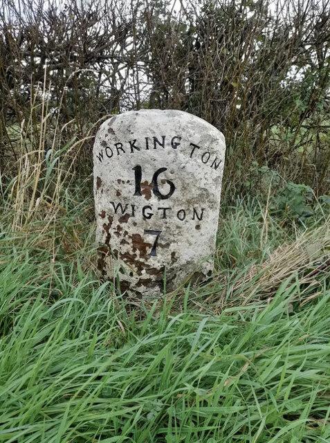
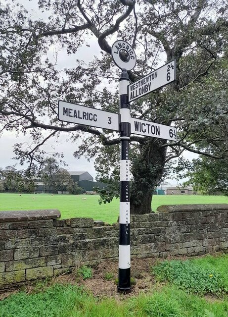
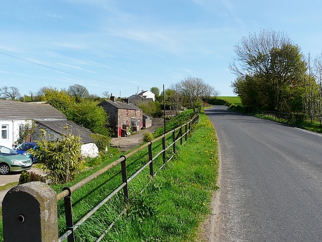
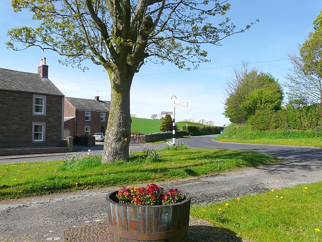
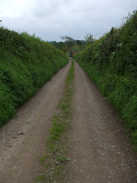
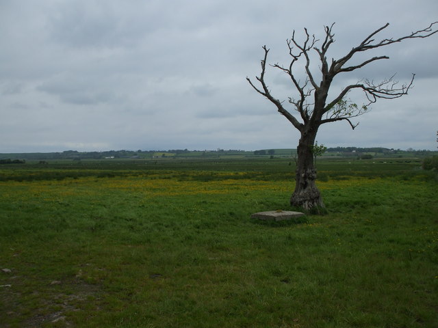
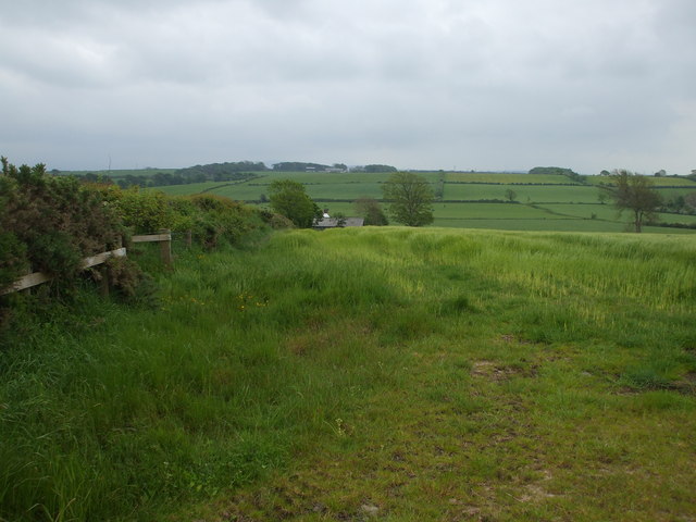
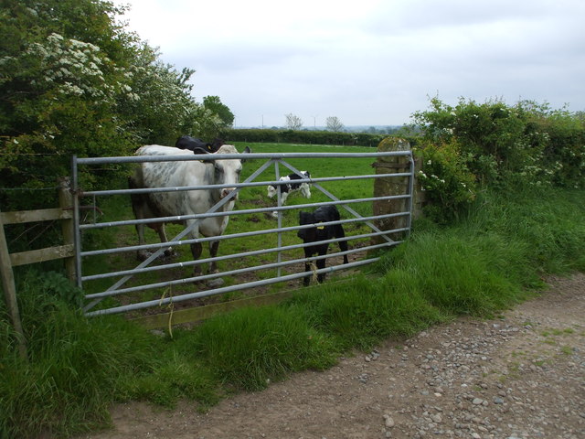
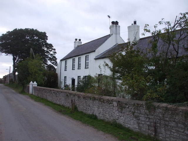
Whin Bank Images

Images are sourced within 2km of 54.798312/-3.3324988 or Grid Reference NY1445. Thanks to Geograph Open Source API. All images are credited.

St.Matthew's, Westnewton
Gateway to field Horse paddock near Whinbank Farm
Gateway to field
Horse paddock near Whinbank Farm
Farm track Entrance to Clappers Farm
Farm track
Entrance to Clappers Farm
Farm track Farm track near langrigg
Farm track
Farm track near langrigg
Whinbank Farm Vernacular farm building at Whinbank Farm
Whinbank Farm
Vernacular farm building at Whinbank Farm
Church of St Matthew The parish church of the Solway Plain
Church of St Matthew
The parish church of the Solway Plain
Direction Sign – Signpost on the B5301 east of Westnewton Located on the south side of the junction on the B5301 at the east end of Westnewton. Westnewton parish. 3 arms and annulus finial. The Silloth, Wigton and Carlisle arm replaced separate arms to Carlisle 19 and B5301; Silloth 7 / Wigton 8, see <span class="nowrap"><a title="http://www.geog.port.ac.uk/webmap/thelakes/photos/bpi26.jpg" rel="nofollow ugc noopener" href="http://www.geog.port.ac.uk/webmap/thelakes/photos/bpi26.jpg">Link</a><img style="margin-left:2px;" alt="External link" title="External link - shift click to open in new window" src="https://s1.geograph.org.uk/img/external.png" width="10" height="10"/></span> from 2008. Carlisle 19 is still visible on Street View in 2010.

Milestone Society National ID: CU_NY1344
Direction Sign – Signpost on the B5301 east of Westnewton
Located on the south side of the junction on the B5301 at the east end of Westnewton. Westnewton parish. 3 arms and annulus finial. The Silloth, Wigton and Carlisle arm replaced separate arms to Carlisle 19 and B5301; Silloth 7 / Wigton 8, see LinkExternal link from 2008. Carlisle 19 is still visible on Street View in 2010. Milestone Society National ID: CU_NY1344
Direction Sign – Signpost on the B5301 northeast of Westnewton Located on the north side of a junction on the B5301 northeast of Westnewton. Westnewton parish. 3 arms and pawn finial.

Milestone Society National ID: CU_NY1344A
Direction Sign – Signpost on the B5301 northeast of Westnewton
Located on the north side of a junction on the B5301 northeast of Westnewton. Westnewton parish. 3 arms and pawn finial. Milestone Society National ID: CU_NY1344A
Direction Sign – Signpost on the B5301 in Westnewton parish Located on the east side of the junction of the B5301 and Scotraby Brow. Westnewton parish. 1 arm and pawn finial.

Milestone Society National ID: CU_NY1345
Direction Sign – Signpost on the B5301 in Westnewton parish
Located on the east side of the junction of the B5301 and Scotraby Brow. Westnewton parish. 1 arm and pawn finial. Milestone Society National ID: CU_NY1345
Old Milestone by the unclassified road, east of Crossrigg Farm Carved stone post by the UC road, in parish of WESTNEWTON (ALLERDALE District), East of Crossrigg, on grass verge, on North side of road. Wigton curved red stone, erected by the Cockermouth & Maryport turnpike trust in the 19th century. 

Inscription reads:-
WORKINGTON
16
WIGTON
7 

Grade II Listed. List Entry Number: 1217573
<span class="nowrap"><a title="https://historicengland.org.uk/listing/the-list/list-entry/1217573" rel="nofollow ugc noopener" href="https://historicengland.org.uk/listing/the-list/list-entry/1217573">Link</a><img style="margin-left:2px;" alt="External link" title="External link - shift click to open in new window" src="https://s1.geograph.org.uk/img/external.png" width="10" height="10"/></span>

Milestone Society National ID: CU_WGWO07.
Old Milestone by the unclassified road, east of Crossrigg Farm
Carved stone post by the UC road, in parish of WESTNEWTON (ALLERDALE District), East of Crossrigg, on grass verge, on North side of road. Wigton curved red stone, erected by the Cockermouth & Maryport turnpike trust in the 19th century. Inscription reads:- WORKINGTON 16 WIGTON 7 Grade II Listed. List Entry Number: 1217573 LinkExternal link Milestone Society National ID: CU_WGWO07.
Direction Sign - Signpost in Langrigg Located on the northeast side of the junction on Langrigg. Bromfield parish. 3 arms and annulus finial. Restored by Terry Moore.

Milestone Society National ID: CU_NY1645
Direction Sign - Signpost in Langrigg
Located on the northeast side of the junction on Langrigg. Bromfield parish. 3 arms and annulus finial. Restored by Terry Moore. Milestone Society National ID: CU_NY1645
B5301 heading out of Westnewton
Road junction, edge of Westnewton village
Sunken Lane leading back to Langrigg
Track to Southerfield House Although this track is wide enough to easily take large tractors it is only marked down as a footpath, not a bridleway!
Track to Southerfield House
Although this track is wide enough to easily take large tractors it is only marked down as a footpath, not a bridleway!
Holme Dub Moss A low lying wetland that was probably drained in the late 18thC or early 19thC. The tree is dying because its roots are too wet.
Holme Dub Moss
A low lying wetland that was probably drained in the late 18thC or early 19thC. The tree is dying because its roots are too wet.
Grassland in the Black Dub valley The roof of Greenah Hall can just be seen.
Grassland in the Black Dub valley
The roof of Greenah Hall can just be seen.
Protective mother & inquizative offspring Cow & calf at a field gate next to the lane from Langrigg.
Protective mother & inquizative offspring
Cow & calf at a field gate next to the lane from Langrigg.
Show me another place!

Whin Bank is located at Grid Ref: NY1445 (Lat: 54.798312, Lng: -3.3324988)

Administrative County: Cumbria

District: Allerdale

Police Authority: Cumbria

What 3 Words

///money.samples.unearthly. Near Aspatria, Cumbria

Nearby Locations

Whin Bank

Related Wikis

Mealrigg

Mealrigg is a small settlement in the civil parish of Westnewton, close to the boundary with the civil parish of Holme St. Cuthbert in Cumbria, United...

Yearngill

Yearngill is a hamlet in the English county of Cumbria. Yearngill is located less than a mile southeast of the village of Westnewton. It is also located...

Westnewton, Cumbria

Westnewton is a small village and civil parish in Cumberland, Cumbria, England. The 2011 census had a population of 265. The village of Westnewton is situated...
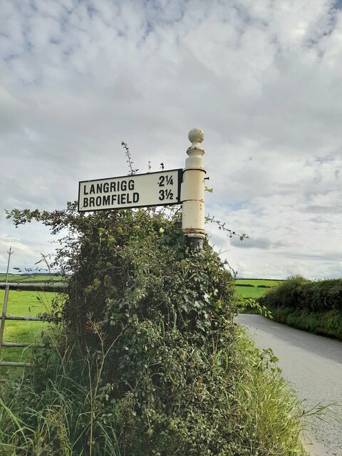
Langrigg

Langrigg is a hamlet in Cumbria, England. It lies to the northeast of Aspatria and south of Abbeytown, just to the southwest of Bromfield. Historically...

Nearby Amenities

Located within 500m of 54.798312,-3.3324988
Power: pole
Lat/Long: 54.8003626/-3.3262275
Power: pole
Lat/Long: 54.7995592/-3.3263854
Power: pole
Lat/Long: 54.7986287/-3.3265723
Power: pole
Lat/Long: 54.7979785/-3.3258328
Power: pole
Lat/Long: 54.7974264/-3.3251764
Power: pole
Lat/Long: 54.7974851/-3.3266139
Power: pole
Lat/Long: 54.797533/-3.3279766
Power: pole
Lat/Long: 54.7975821/-3.3296426
Power: pole
Lat/Long: 54.7976312/-3.3313274
Power: pole
Lat/Long: 54.7976875/-3.3330204
Power: pole
Lat/Long: 54.7975294/-3.3343998
Power: pole
Lat/Long: 54.7972887/-3.3362424
The data included in this document is from www.openstreetmap.org. The data is made available under ODbL.

Have you been to Whin Bank?

Leave your review of Whin Bank below (or comments, questions and feedback).