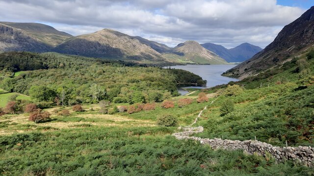
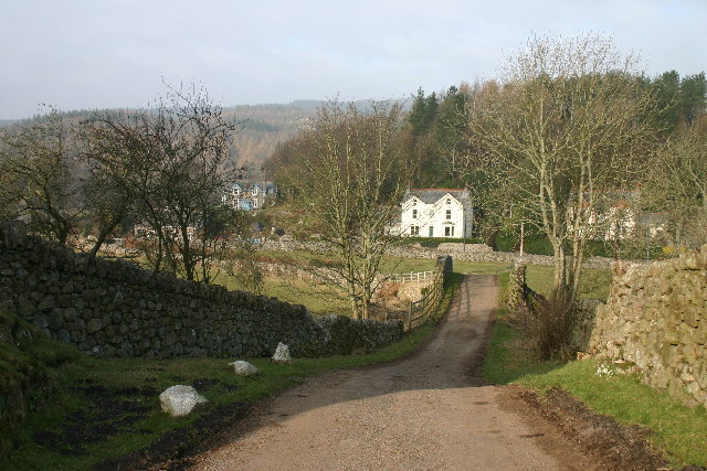
Great Bank
Hill, Mountain in Cumberland Copeland
England
Great Bank
Great Bank, Cumberland Hill, Mountain is a prominent geographical feature located in the town of Cumberland, Rhode Island, in the United States. Rising to an elevation of 530 feet (162 meters) above sea level, it is considered the highest point in Cumberland and one of the highest points in the entire state.
This natural landmark is part of the larger geographic region known as the Cumberland Hills, which extends across northeastern Rhode Island and into southeastern Massachusetts. Great Bank stands out due to its distinctive rocky terrain and picturesque views of the surrounding area.
The banks of Great Bank are composed mainly of granite, providing a strong foundation for the vegetation that thrives in the region. The mountain is covered with a mix of deciduous and coniferous trees, including oak, maple, pine, and birch, showcasing a beautiful display of colors during the fall season.
Great Bank, Cumberland Hill, Mountain is a popular destination for outdoor enthusiasts and nature lovers. Hiking trails crisscross the mountain, offering visitors an opportunity to explore the area's natural beauty. Along the trails, one may encounter various wildlife species such as white-tailed deer, squirrels, and a variety of birds.
The mountain also holds historical significance, as it is believed to have been used as a lookout point by Native American tribes in the past. Today, it stands as a symbol of Cumberland's natural heritage and serves as a recreational space for locals and tourists alike.
If you have any feedback on the listing, please let us know in the comments section below.
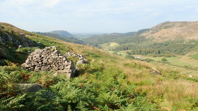
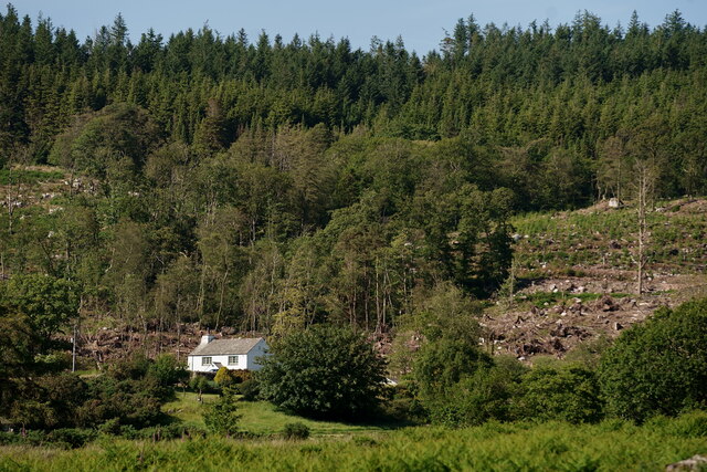
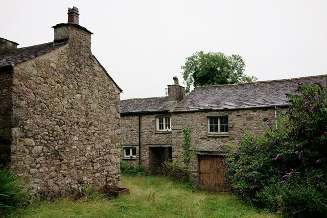
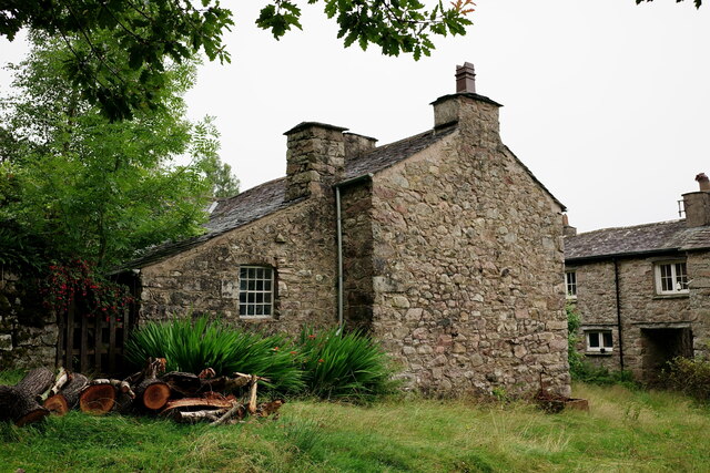
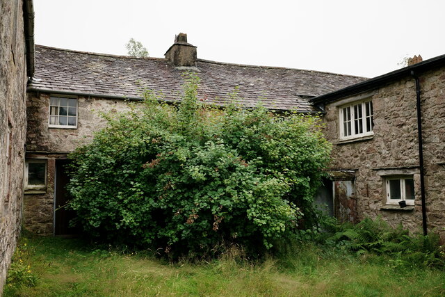
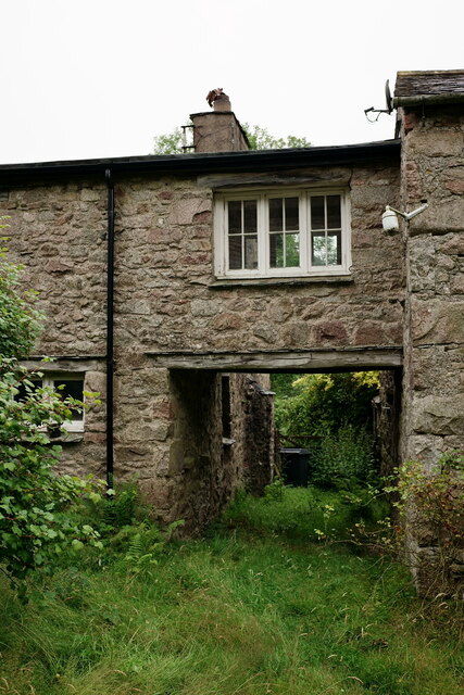
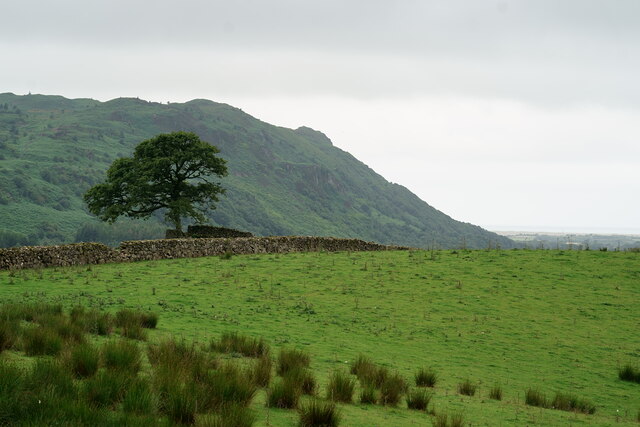
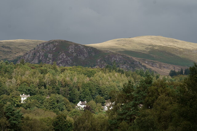
Great Bank Images
Images are sourced within 2km of 54.405654/-3.3203807 or Grid Reference NY1401. Thanks to Geograph Open Source API. All images are credited.


Great Bank is located at Grid Ref: NY1401 (Lat: 54.405654, Lng: -3.3203807)
Administrative County: Cumbria
District: Copeland
Police Authority: Cumbria
What 3 Words
///fended.famines.digests. Near Seascale, Cumbria
Nearby Locations
Related Wikis

Whin Rigg
Whin Rigg is a fell in the English Lake District, situated in the western segment of the national park, 22 kilometres (14 miles) south east of the town...
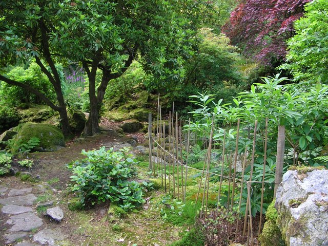
Giggle Alley
Giggle Alley is a woodland in Eskdale Green, Cumbria, England. It was formerly part of the Gate House estate. The wood includes the ruins of a Japanese...

Gate House, Eskdale Green
Gate House or Gatehouse is a country house in Eskdale Green, Cumbria, England. The house became a Grade II listed building on 8 September 1967.Built in...
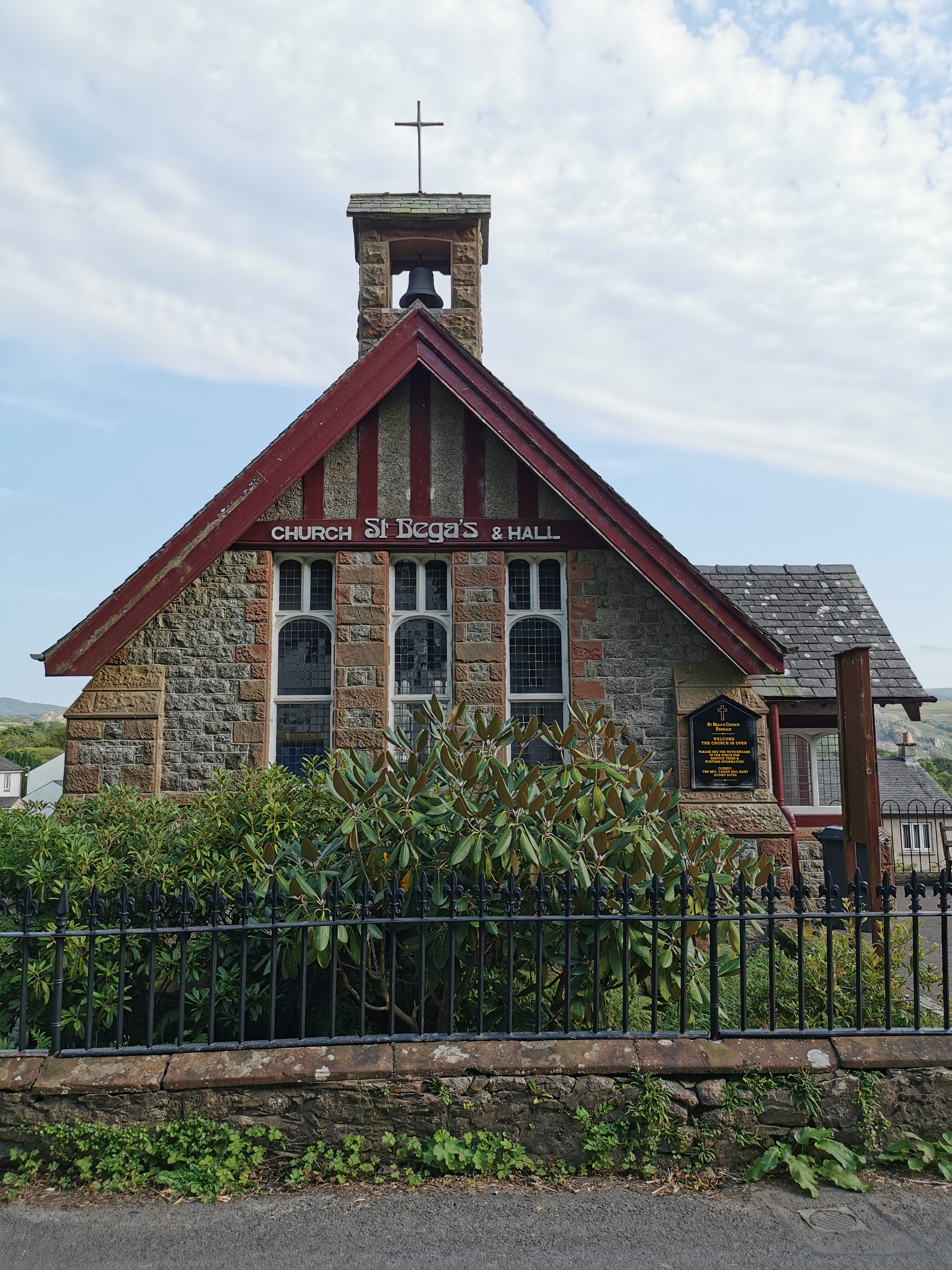
St Bega, Eskdale
St Bega is in Eskdale, Cumbria, England. It is an active Anglican parish church in the deanery of Calder, and the diocese of Carlisle. Its benefice is...
Eskdale Green
Eskdale Green is a village in Cumbria, England, 10 miles west of Coniston. Historically in Cumberland, it lies off the A595 road and is one of the few...

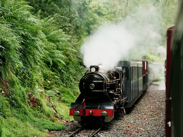
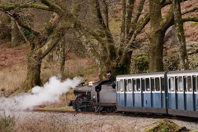
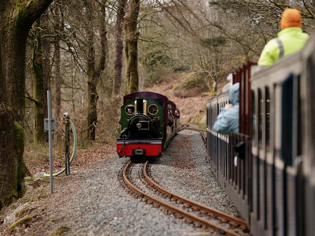
Fisherground railway station
Fisherground railway station, also known as Fisherground Halt, is on the 15-inch (380 mm) gauge Ravenglass & Eskdale Railway in Cumbria, England. Its main...

Irton Road railway station
Irton Road railway station is a railway station on the 15 in gauge Ravenglass & Eskdale Railway in the Lake District National Park and the English county...
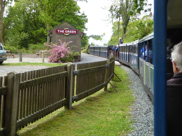
The Green railway station
The Green is a railway station on the 15-inch gauge Ravenglass & Eskdale Railway in the Lake District National Park and the English county of Cumbria....
Nearby Amenities
Located within 500m of 54.405654,-3.3203807Have you been to Great Bank?
Leave your review of Great Bank below (or comments, questions and feedback).