Carlops Hill
Hill, Mountain in Peeblesshire
Scotland
Carlops Hill
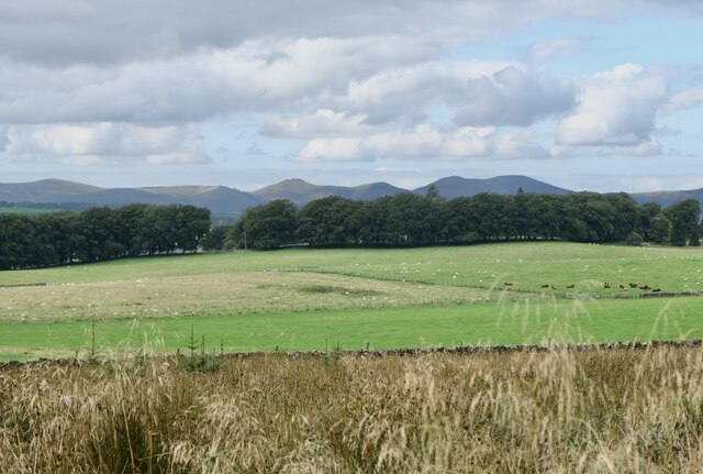
Carlops Hill is a prominent hill located in Peeblesshire, Scotland. It is part of the Moorfoot Hills range and stands at an elevation of 1,732 feet (528 meters). The hill is situated approximately 5 miles south of the town of Penicuik and 14 miles south of Edinburgh.
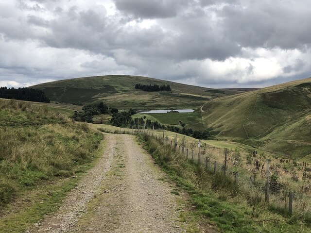
The summit of Carlops Hill is marked by a trig point, offering breathtaking panoramic views of the surrounding countryside. On a clear day, visitors can admire the picturesque landscapes of the Pentland Hills, the Edinburgh skyline, and even glimpse the Firth of Forth in the distance.
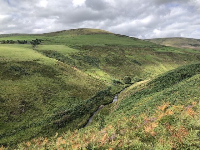
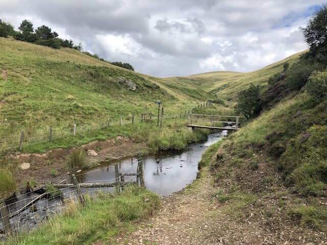
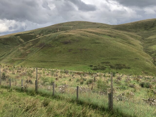
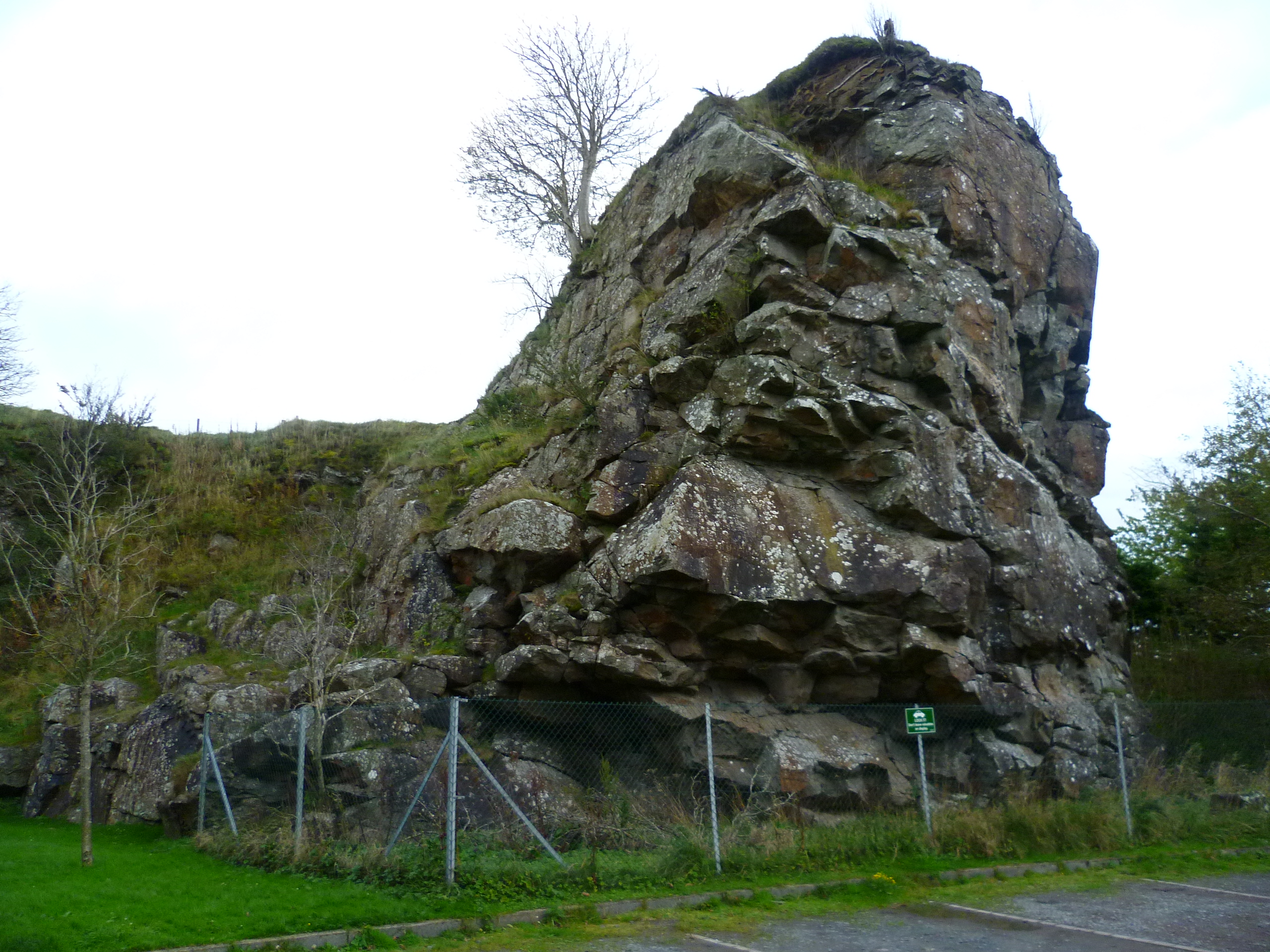
The hill is a popular destination for outdoor enthusiasts, hikers, and nature lovers who enjoy the peaceful and tranquil atmosphere it provides. The terrain consists of rolling grassy slopes, heather-covered moorland, and some rocky outcrops, making it an ideal place for leisurely walks and more challenging hikes.
Carlops Hill is also known for its rich biodiversity. The hill supports a variety of plant and animal species, including heather, gorse, and bilberry bushes, as well as various bird species such as skylarks and meadow pipits. It is not uncommon to spot rabbits, hares, and even deer while exploring the area.
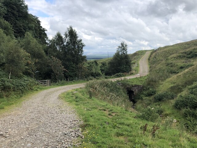
Access to Carlops Hill is relatively easy, with several footpaths leading up to the summit from nearby villages and roads. The hill offers a peaceful retreat from the bustling city life and is a perfect destination for those seeking natural beauty and tranquility in the Peeblesshire region.
If you have any feedback on the listing, please let us know in the comments section below.
Carlops Hill Images
Images are sourced within 2km of 55.79172/-3.3680381 or Grid Reference NT1456. Thanks to Geograph Open Source API. All images are credited.


Carlops Hill is located at Grid Ref: NT1456 (Lat: 55.79172, Lng: -3.3680381)
Unitary Authority: The Scottish Borders
Police Authority: The Lothians and Scottish Borders
What 3 Words
///defected.asserts.reflect. Near West Linton, Scottish Borders
Nearby Locations
Related Wikis

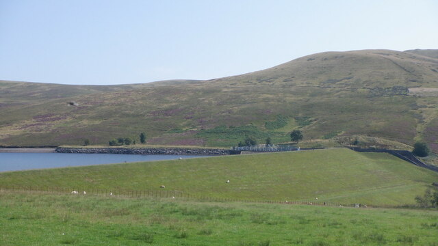
Baddinsgill Reservoir
Baddinsgill Reservoir is a small reservoir in the Scottish Borders area of Scotland close to Carlops, West Linton, and the boundary with Midlothian. It...
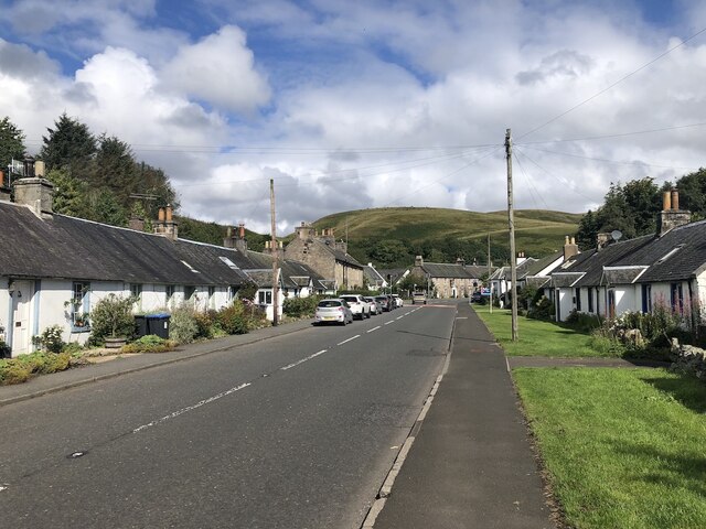
Carlops
Carlops (Scottish Gaelic: Leum na Caillich) is a small village in the Pentland Hills, within the Scottish Borders area of Scotland, close to the boundary...

Pentland Hills
The Pentland Hills are a range of hills southwest of Edinburgh, Scotland. The range is around twenty miles (thirty kilometres) in length, and runs southwest...
Baddinsgill
Baddinsgill is a hamlet in the Scottish Borders area of Scotland. The Baddinsgill Reservoir is a few hundred metres north of the hamlet. == See also... ==
Have you been to Carlops Hill?
Leave your review of Carlops Hill below (or comments, questions and feedback).