Carlavin Hill
Hill, Mountain in Peeblesshire
Scotland
Carlavin Hill
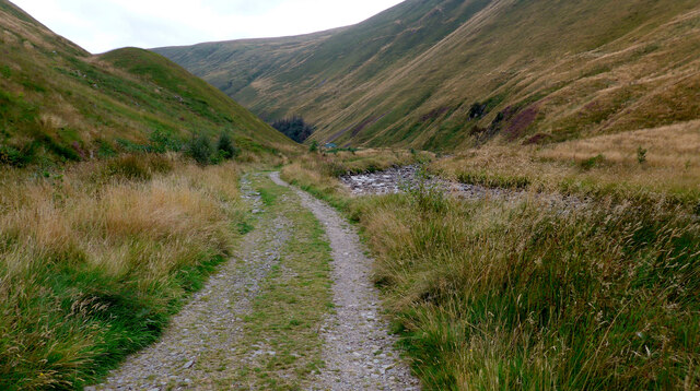
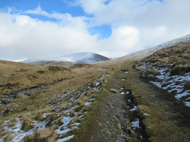
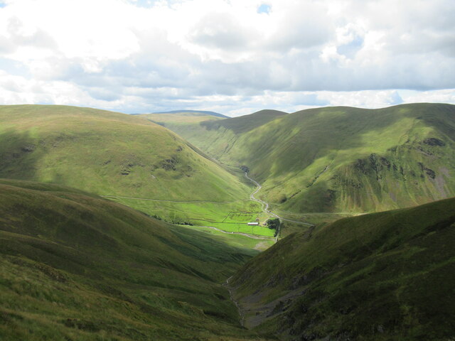
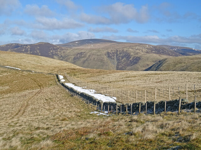
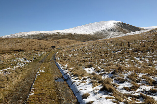
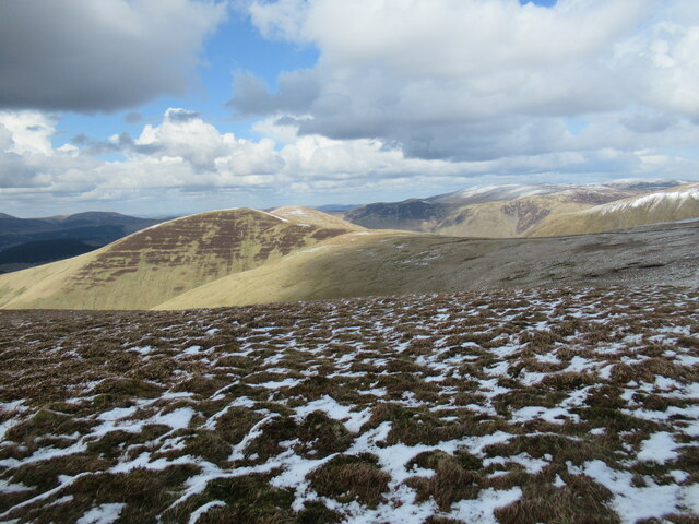
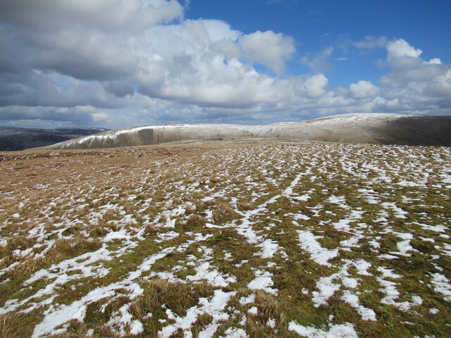
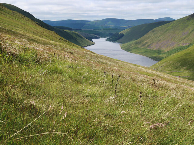
Carlavin Hill is a prominent hill located in the region of Peeblesshire, Scotland. Situated in the Southern Uplands, it stands at an elevation of approximately 511 meters (1,677 feet) above sea level. The hill is easily recognizable due to its distinctive conical shape and lush green slopes that offer breathtaking views of the surrounding landscape.
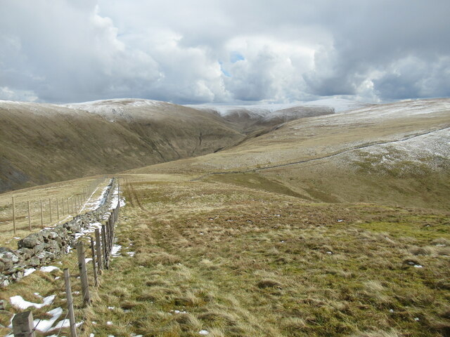
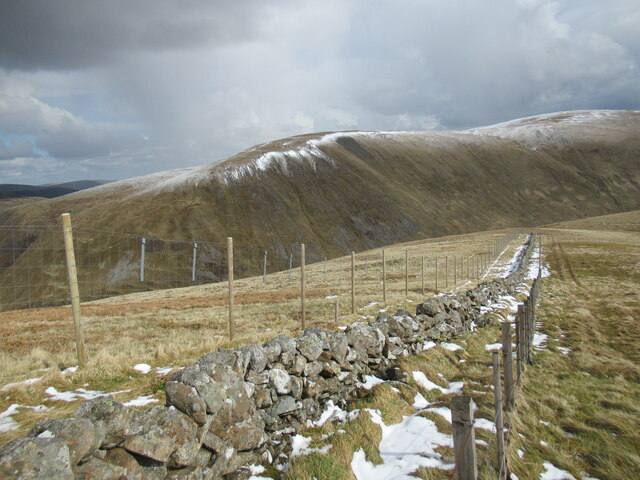
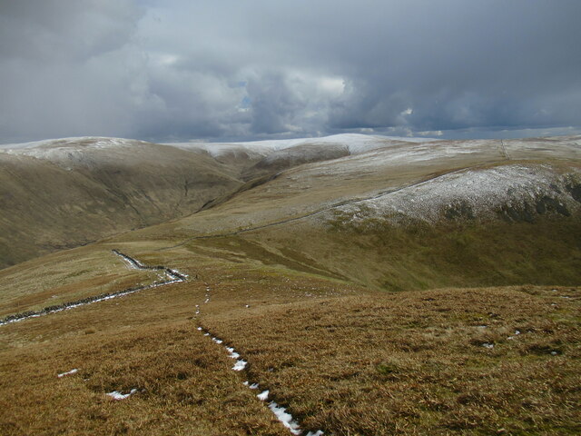
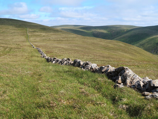
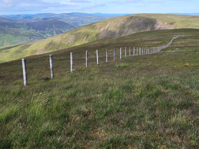
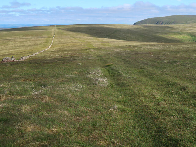
Carlavin Hill is a popular destination for outdoor enthusiasts, hikers, and nature lovers. Its well-maintained trails and footpaths make it accessible to both experienced and amateur walkers. The ascent to the summit is relatively moderate, making it suitable for families and individuals of all fitness levels.
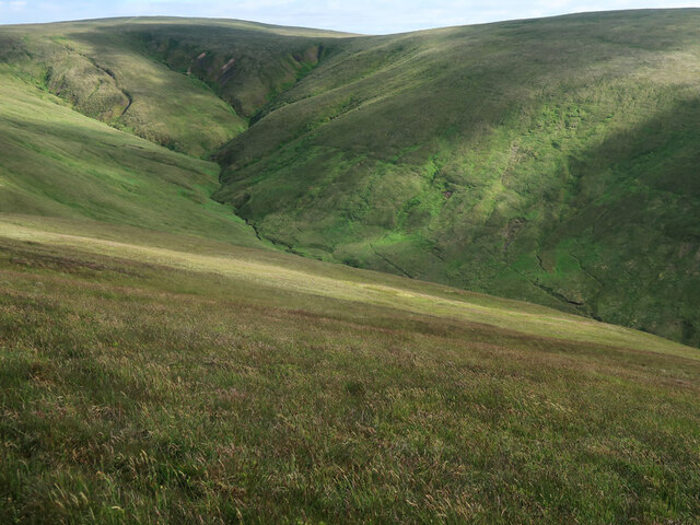
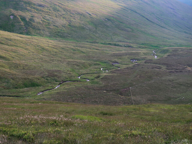
Once at the top, visitors are rewarded with panoramic vistas of the picturesque Peeblesshire countryside. On clear days, the views extend as far as the rolling hills of the Scottish Borders and the distant peaks of the Southern Highlands. The hill is particularly renowned for its stunning sunsets, attracting photographers and artists who seek to capture the magical light and colors.
The surrounding area is rich in biodiversity, with an abundance of native flora and fauna. Visitors may encounter various species of birds, including buzzards and kestrels, as well as small mammals such as hares and rabbits. The hill is also home to a diverse range of plant life, including heather, gorse, and wildflowers, which create a vibrant and colorful landscape during the summer months.
Overall, Carlavin Hill in Peeblesshire offers a captivating blend of natural beauty, tranquility, and recreational opportunities, making it a cherished destination for locals and tourists alike.
If you have any feedback on the listing, please let us know in the comments section below.
Carlavin Hill Images
Images are sourced within 2km of 55.456195/-3.3583113 or Grid Reference NT1418. Thanks to Geograph Open Source API. All images are credited.
Carlavin Hill is located at Grid Ref: NT1418 (Lat: 55.456195, Lng: -3.3583113)
Unitary Authority: The Scottish Borders
Police Authority: The Lothians and Scottish Borders
What 3 Words
///wedding.symphonic.price. Near Ettrick, Scottish Borders
Nearby Locations
Related Wikis

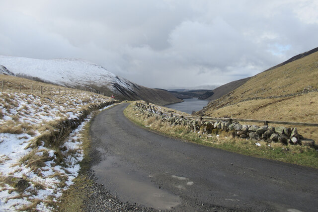
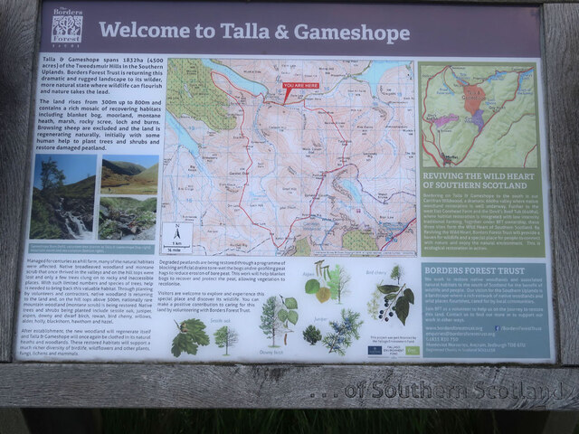
Talla Water
Talla Water is a river in the Scottish Borders area of Scotland, near Tweedsmuir. It feeds the Talla Reservoir, and is a tributary of the River Tweed....

Loch Skeen
Loch Skeen or Loch Skene is a loch in Dumfries and Galloway in the south of Scotland. It is located about 10 miles to the north-east of Moffat and feeds...

Talla Reservoir
Talla Reservoir, located a mile from Tweedsmuir, Scottish Borders, Scotland, is an earth-work dam fed by Talla Water. The reservoir is supplemented by...

Moffat Hills
The Moffat Hills are a range of hills in the Southern Uplands of Scotland. They form a roughly triangular shape with a west facing side, a north facing...
Nearby Amenities
Located within 500m of 55.456195,-3.3583113Have you been to Carlavin Hill?
Leave your review of Carlavin Hill below (or comments, questions and feedback).