Balmanno Hill
Hill, Mountain in Perthshire
Scotland
Balmanno Hill
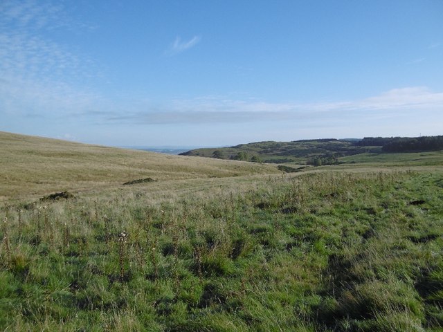
Balmanno Hill is a prominent natural feature located in Perthshire, Scotland. Situated in the central part of the country, it is part of the wider Ochil Hills range. With an elevation of approximately 315 meters (1,033 feet), Balmanno Hill provides panoramic views of the surrounding landscape.
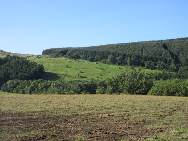
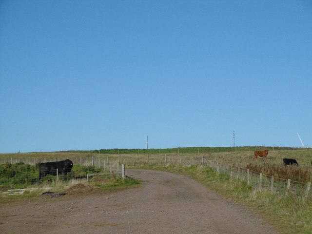
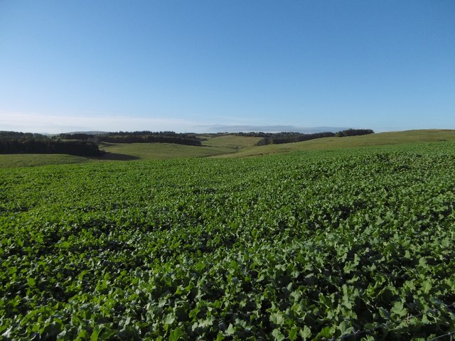
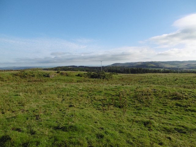
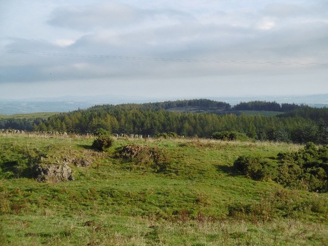
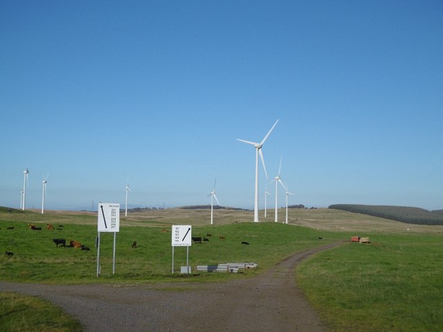
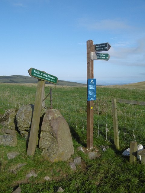
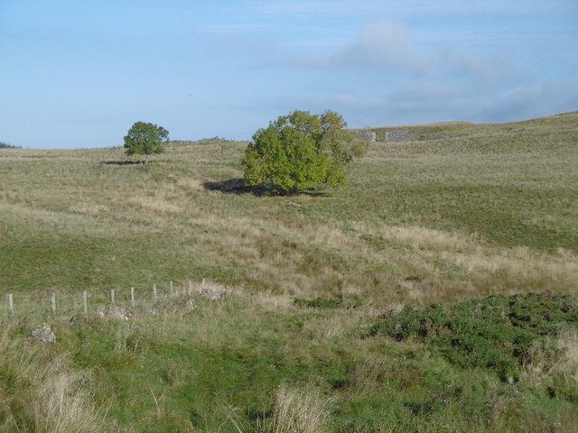
The hill is covered in lush green vegetation, primarily consisting of grasses and heather, which provide a habitat for various wildlife species. It is a popular destination for outdoor enthusiasts, offering numerous walking and hiking trails that cater to different levels of fitness and experience.
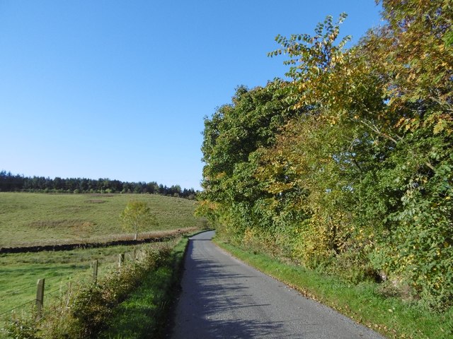
Balmanno Hill is easily accessible, located just a short distance from the town of Bridge of Earn. Its close proximity to urban areas means it attracts locals and visitors alike, seeking a peaceful retreat from the hustle and bustle of everyday life.
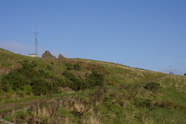
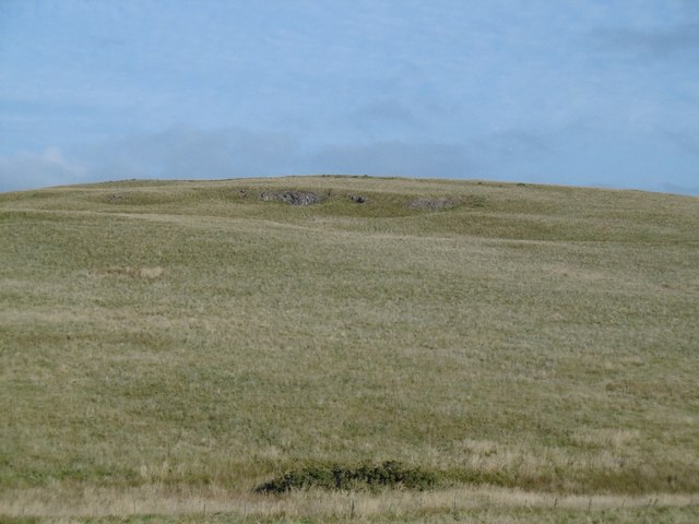
At the summit of Balmanno Hill, there is a cairn, a man-made pile of stones, which serves as a focal point for hikers and provides a sense of accomplishment upon reaching the top. On clear days, the hill offers stunning vistas of the surrounding Perthshire countryside, including the River Tay and the rolling hills beyond.
In addition to its natural beauty, Balmanno Hill holds historical significance. It is believed to have been a site of ancient settlements, with traces of prehistoric activity found in the vicinity. The hill's rich heritage adds an extra layer of interest for those exploring its slopes.
Overall, Balmanno Hill in Perthshire is a picturesque and accessible natural landmark, offering both recreational opportunities and a glimpse into Scotland's past.
If you have any feedback on the listing, please let us know in the comments section below.
Balmanno Hill Images
Images are sourced within 2km of 56.315503/-3.391675 or Grid Reference NO1414. Thanks to Geograph Open Source API. All images are credited.


Balmanno Hill is located at Grid Ref: NO1414 (Lat: 56.315503, Lng: -3.391675)
Unitary Authority: Perth and Kinross
Police Authority: Tayside
What 3 Words
///stems.ranking.purist. Near Bridge of Earn, Perth & Kinross
Nearby Locations
Related Wikis

Bein Inn
The Bein Inn (commonly known as the Famous Bein Inn) is an historic building in Glenfarg, Perth and Kinross, Scotland. A "noted hostelry," according to...

Aberargie
Aberargie (Scottish Gaelic: Obar Fhargaidh) is a village in the south eastern region of Perth and Kinross. It lies on the western edge of the old Abernethy...

Kilgraston School
Kilgraston School is a Scottish private boarding and day school offering primary school education for boys and girls aged from five to twelve years old...

Bridge of Earn Hospital
The Bridge of Earn Hospital was a health facility in Bridge of Earn, Perth and Kinross, Scotland. == History == The facility was designed as one of seven...
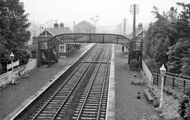
Bridge of Earn railway station
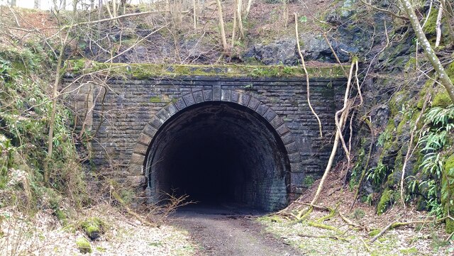
Bridge of Earn railway station served the town of Bridge of Earn, Perthshire, Scotland from 1848 to 1965 on the Edinburgh and Northern Railway. == History... ==
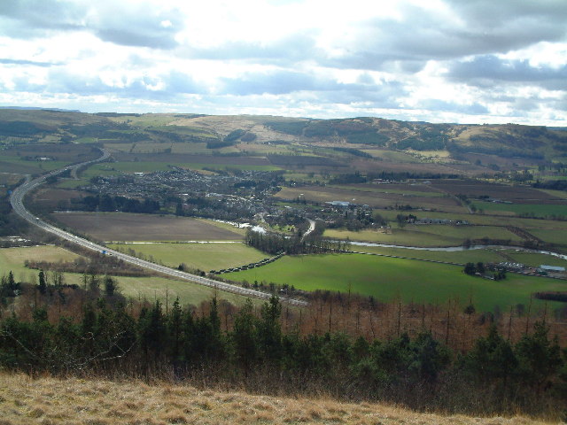
Bridge of Earn
Bridge of Earn (Scottish Gaelic: Drochaid Èireann) is a small town in Perthshire, Scotland. Often referred to simply as 'The Brig' (Scots for 'bridge'...

Glenfarg railway station
Glenfarg railway station served the village of Glenfarg, Perth and Kinross, Scotland, from 1890 to 1964, on the Glenfarg Line. == History == The station...

Pitkeathly Wells
Pitkeathly Wells (spelling variants: Pitcaithly, Pitceathly, Pitkethley, etc.) is a hamlet in the Perth and Kinross area of Scotland, famed for its mineral...
Nearby Amenities
Located within 500m of 56.315503,-3.391675Have you been to Balmanno Hill?
Leave your review of Balmanno Hill below (or comments, questions and feedback).