Codleteth Hill
Hill, Mountain in Peeblesshire
Scotland
Codleteth Hill
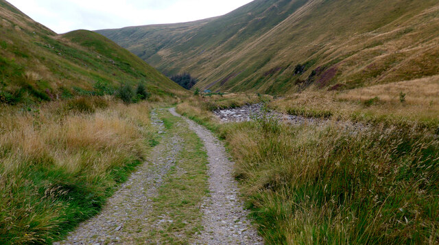
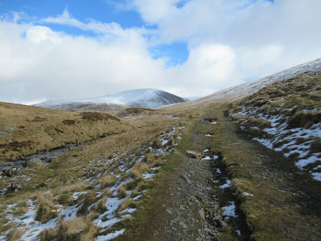
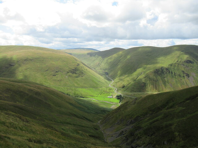
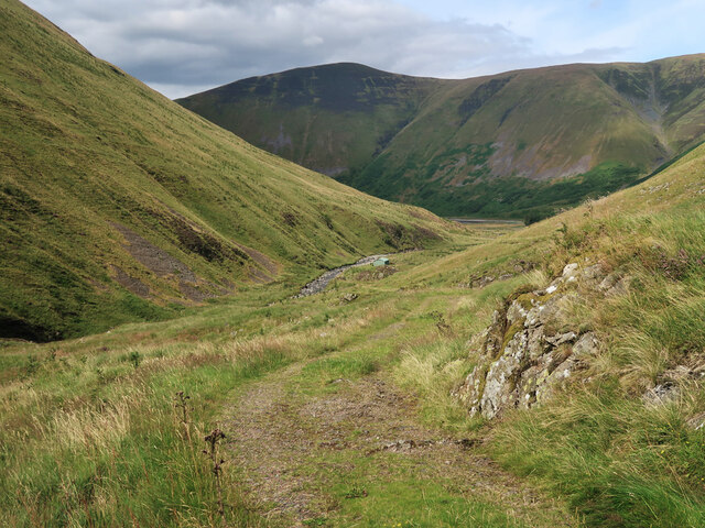
Codleteth Hill is a prominent hill located in Peeblesshire, Scotland. It stands at an elevation of 215 meters (705 feet), making it a relatively modest peak in comparison to the surrounding hills and mountains in the region. Despite its relatively low height, Codleteth Hill offers spectacular panoramic views of the stunning Scottish countryside.
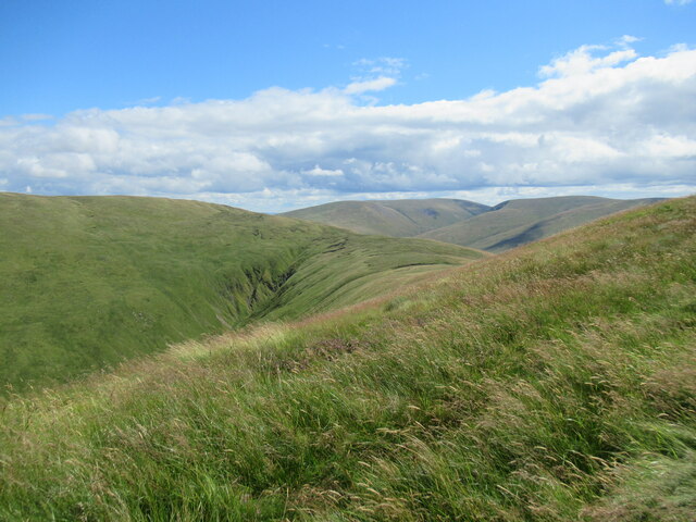
The hill is characterized by its gently sloping sides, covered in a patchwork of lush greenery and heather. The terrain is primarily composed of grassy slopes, dotted with scattered rocks and boulders that add to its rugged charm. The summit of Codleteth Hill is marked by a trig point, providing a convenient reference point for hikers and visitors.
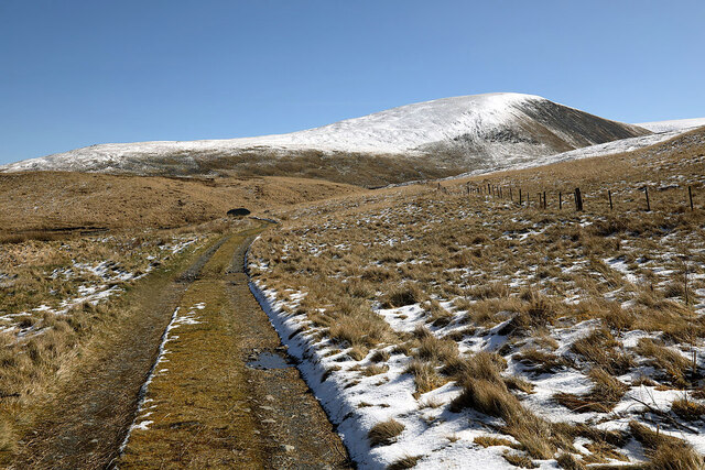
Codleteth Hill is a popular destination for outdoor enthusiasts, offering a range of recreational activities. Hiking and walking trails crisscross the hill, providing opportunities for leisurely strolls and more challenging treks. The hill's strategic location also makes it a great spot for birdwatching, with various species of birds frequently spotted in the area.
Visitors to Codleteth Hill are advised to come prepared with appropriate clothing and footwear, as the weather conditions can be unpredictable. It is also advisable to bring water and snacks, as there are no facilities or amenities available on the hill itself. Nevertheless, the scenic beauty and tranquil atmosphere of Codleteth Hill make it a worthwhile destination for nature lovers seeking a peaceful escape in the heart of Peeblesshire.
If you have any feedback on the listing, please let us know in the comments section below.
Codleteth Hill Images
Images are sourced within 2km of 55.478395/-3.3628249 or Grid Reference NT1321. Thanks to Geograph Open Source API. All images are credited.


Codleteth Hill is located at Grid Ref: NT1321 (Lat: 55.478395, Lng: -3.3628249)
Unitary Authority: The Scottish Borders
Police Authority: The Lothians and Scottish Borders
What 3 Words
///elbowing.rips.spits. Near Ettrick, Scottish Borders
Nearby Locations
Related Wikis

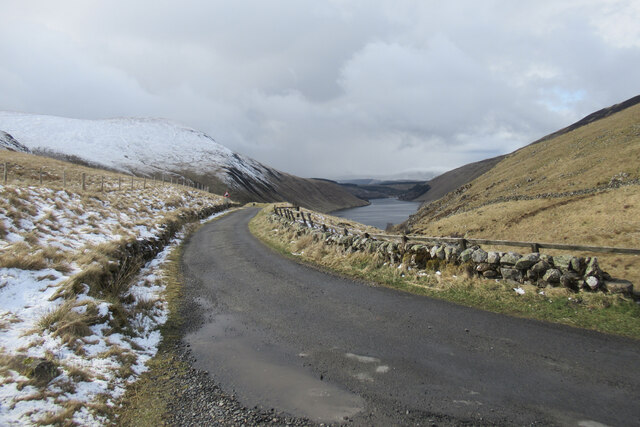
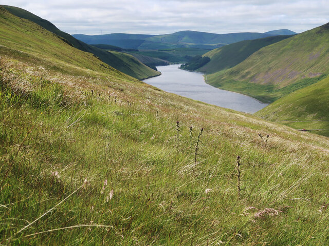
Talla Water
Talla Water is a river in the Scottish Borders area of Scotland, near Tweedsmuir. It feeds the Talla Reservoir, and is a tributary of the River Tweed....

Broad Law
Broad Law is a hill in the Manor Hills range, part of the Southern Uplands of Scotland. The second-highest point in the Southern Uplands and the highest...

Talla Reservoir
Talla Reservoir, located a mile from Tweedsmuir, Scottish Borders, Scotland, is an earth-work dam fed by Talla Water. The reservoir is supplemented by...

Victoria Lodge railway station
Victoria Lodge railway station served the village of Tweedsmuir, Scottish Borders, Scotland from 1897 to 1905 on the Symington, Biggar and Broughton Railway...
Have you been to Codleteth Hill?
Leave your review of Codleteth Hill below (or comments, questions and feedback).