Cnoc Fergan

Hill, Mountain in Banffshire

Scotland

Cnoc Fergan

Road to Mid Fodderletter
Road to Mid Fodderletter Credit: Alan Reid

Cnoc Fergan is a prominent hill located in Banffshire, Scotland. With an elevation of approximately 416 meters (1,365 feet), it offers stunning views of the surrounding countryside and is a popular destination for hikers and nature enthusiasts.

Situated near the village of Deskford, Cnoc Fergan is easily accessible, making it an ideal choice for both experienced climbers and casual walkers. The hill is characterized by its gentle slopes, which gradually increase in steepness as you ascend. This makes it a relatively easy climb, suitable for individuals of varying fitness levels.

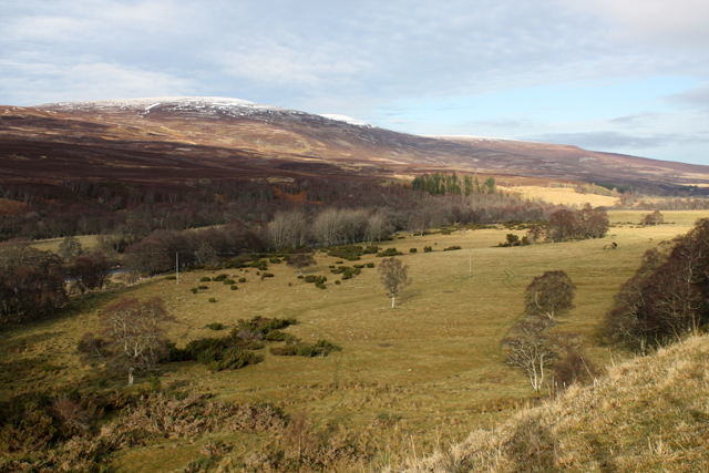
The summit of Cnoc Fergan provides breathtaking panoramic vistas, offering a glimpse of the nearby coastline, rolling farmland, and distant mountains. On clear days, it is possible to see as far as the Cairngorms National Park, which lies to the southwest.

The hill is also home to a diverse range of flora and fauna, making it an excellent spot for nature lovers. Visitors may encounter various bird species, including buzzards and kestrels, as well as smaller mammals like rabbits and hares. Additionally, the hillside boasts an array of wildflowers, adding vibrant colors to the landscape during the spring and summer months.

Cnoc Fergan is a peaceful and picturesque location, attracting visitors seeking a tranquil escape from the hustle and bustle of daily life. Whether you are looking for a challenging climb or a leisurely stroll, this hill offers an enjoyable experience for all who venture to its summit.

If you have any feedback on the listing, please let us know in the comments section below.
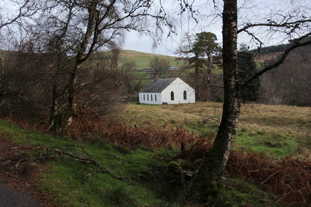
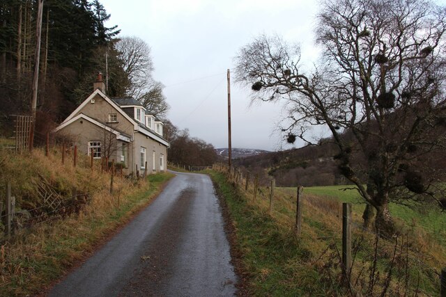
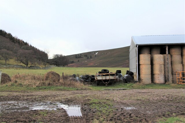
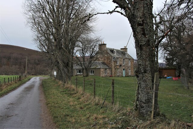
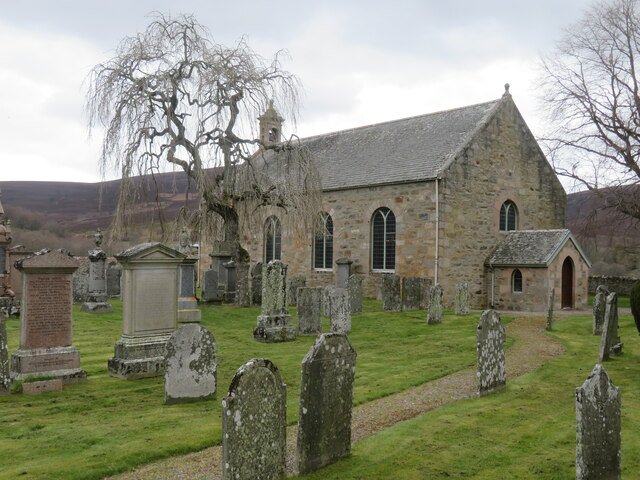
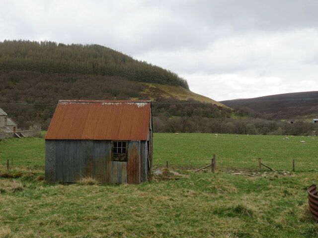
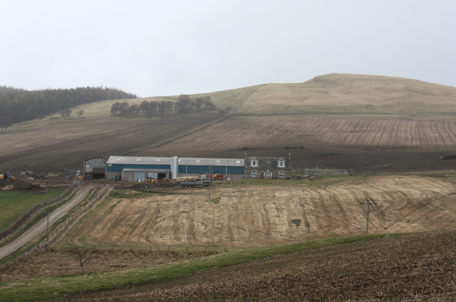
Cnoc Fergan Images

Images are sourced within 2km of 57.290442/-3.4320008 or Grid Reference NJ1323. Thanks to Geograph Open Source API. All images are credited.

Road to Mid Fodderletter
United Free Church, Dalvrecht, Strath Avon
Dalvrecht Cottage, Strath Avon
Barn at Inverlochy
Barn at Inverlochy
Inverlochy, a large house
St Michaels, Strath Avon A 19th century rebuild of an earlier church serving the scattered community along this valley.
St Michaels, Strath Avon
A 19th century rebuild of an earlier church serving the scattered community along this valley.
Tin shack, Kirkton Corrugated iron structure close by the River Avon.
Tin shack, Kirkton
Corrugated iron structure close by the River Avon.
View towards Conglass Water The watercourse is seen in the valley bottom, being a feeder for the nearby River Avon.
View towards Conglass Water
The watercourse is seen in the valley bottom, being a feeder for the nearby River Avon.
View towards a bike trail car park Looking NW along a minor road above Conglass Water to a brown sign for the Glenlivet Bike Trails. In the distance are the dark outlines of the Hills of Cromdale, higher than many of the grand peaks in Assynt, but rounded and dwarfed by the nearby Cairngorms.
View towards a bike trail car park
Looking NW along a minor road above Conglass Water to a brown sign for the Glenlivet Bike Trails. In the distance are the dark outlines of the Hills of Cromdale, higher than many of the grand peaks in Assynt, but rounded and dwarfed by the nearby Cairngorms.
View into Strath Avon Taken from the side of the A939 road north-west of Tomintoul.
View into Strath Avon
Taken from the side of the A939 road north-west of Tomintoul.
Achlichnie farm Below Fireach Beag.
Achlichnie farm
Below Fireach Beag.
Forest track on Cnoc Fergan Forestry track also used as a cycle route on Crown Estate.
Forest track on Cnoc Fergan
Forestry track also used as a cycle route on Crown Estate.
Gate on Cnoc Fergan On the south side of the hill, a boundary between forestry and farmland at Balneden.
Gate on Cnoc Fergan
On the south side of the hill, a boundary between forestry and farmland at Balneden.
Forest track on Creag an Iaruinn On Crown estate, this track is also part of a cycle route.
Forest track on Creag an Iaruinn
On Crown estate, this track is also part of a cycle route.
Balneden Farm The farm steading has been converted for use as holiday lets.  Cnoc Fergan is the hill behind.
Balneden Farm
The farm steading has been converted for use as holiday lets. Cnoc Fergan is the hill behind.
Easter Fodderletter Farm Between Bridge of Brown and Bridge of Avon.
Easter Fodderletter Farm
Between Bridge of Brown and Bridge of Avon.
Strath Avon Rough grazing beside the River Avon.  Looking towards Carn Eachie and Carn a Ghillie Chearr in the Cromdale Hills.
Strath Avon
Rough grazing beside the River Avon. Looking towards Carn Eachie and Carn a Ghillie Chearr in the Cromdale Hills.
Fields below Easter Fodderletter With the valley of the River Avon winding away beyond.
Fields below Easter Fodderletter
With the valley of the River Avon winding away beyond.
Show me another place!

Cnoc Fergan is located at Grid Ref: NJ1323 (Lat: 57.290442, Lng: -3.4320008)

Unitary Authority: Moray

Police Authority: North East

What 3 Words

///proper.pounding.carpentry. Near Grantown-on-Spey, Highland

Nearby Locations

Cnoc Fergan

Related Wikis

Kirkmichael, Moray

Kirkmichael is a parish and hamlet in Moray, Scotland. Kirkmichael was historically part of Banffshire.The hamlet lies approximately 8 miles south of Ballindalloch...

Tomintoul distillery

Tomintoul distillery is a distillery in Kirkmichael, between Ballindalloch and Tomintoul in the Speyside region of Scotland, producing malt whisky for...

Tomintoul

Tomintoul ( ; from Scottish Gaelic: Tom an t-Sabhail, meaning "Hillock of the Barn") is a village in the Moray council area of Scotland in the historic...

A939 road

The A939 'Lecht Road' connects the A96 at Nairn on the Moray Coast with the A95 Grantown on Spey, then it continues to the A93 at Ballater by way of the...

Nearby Amenities

Located within 500m of 57.290442,-3.4320008
Cnoc Fergan
Ele: 479
Natural: peak
Lat/Long: 57.2901741/-3.4320186
St Fergan's Well
Historic: wayside_shrine
Man Made: water_well
Pump: no
Lat/Long: 57.2893585/-3.4269565
Communication Mobile Phone: yes
Height: 10
Man Made: mast
Material: metal
Tower Construction: lattice
Tower Type: communication
Lat/Long: 57.2894017/-3.4313842
The data included in this document is from www.openstreetmap.org. The data is made available under ODbL.

Have you been to Cnoc Fergan?

Leave your review of Cnoc Fergan below (or comments, questions and feedback).