Fron Hir

Hill, Mountain in Radnorshire

Wales

Fron Hir

A prickly common Gorse is rather prolific on some of the Radnorshire commons.
A prickly common Credit: Richard Webb

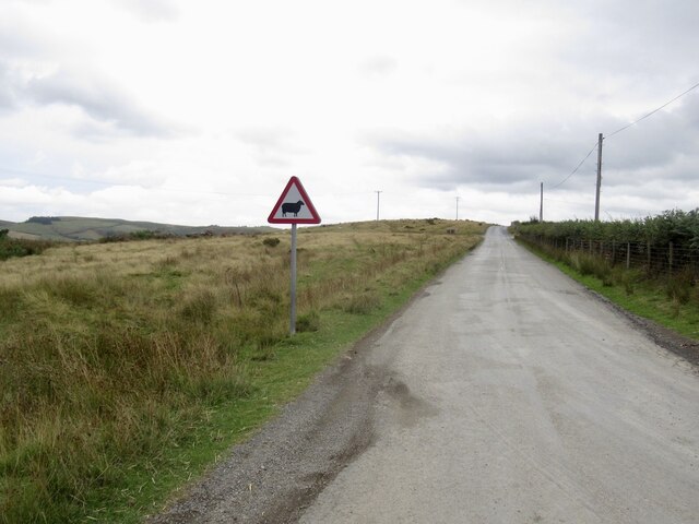
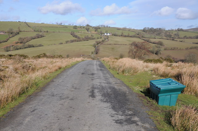
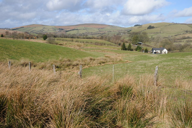
Fron Hir is a prominent hill located in Radnorshire, Wales. It is situated in the heart of the Radnor Forest, a picturesque and historic area known for its natural beauty and rich cultural heritage. Rising to an elevation of approximately 500 meters (1,640 feet), Fron Hir offers breathtaking panoramic views of the surrounding countryside.

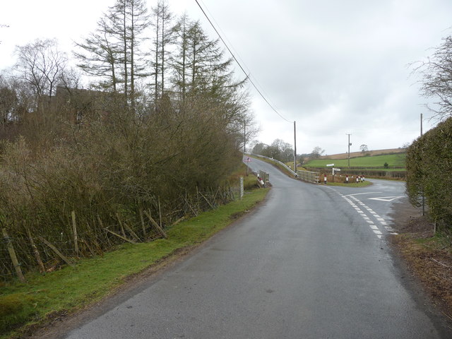
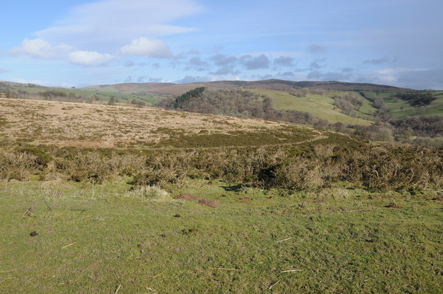
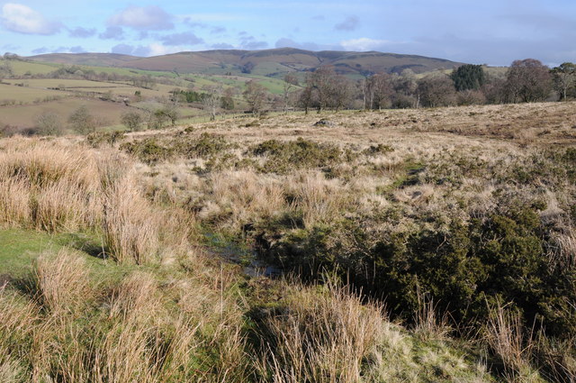
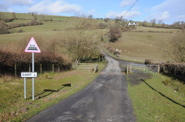
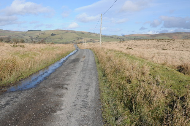
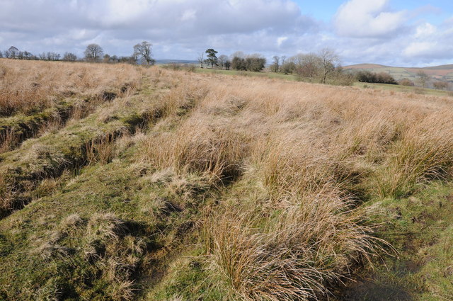
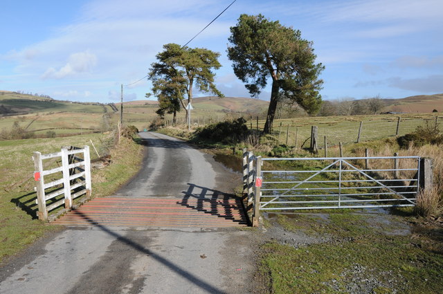
The hill is characterized by its rugged terrain, covered in a mix of heathland, moorland, and scattered forestry. It is a popular destination for outdoor enthusiasts, attracting hikers, walkers, and nature lovers throughout the year. The trails leading to the summit are well-defined, making it accessible to visitors of various fitness levels.

Fron Hir is also home to a diverse range of flora and fauna. The hillside is adorned with colorful wildflowers, including heather and gorse, adding a vibrant touch to the landscape. The area provides habitat for a variety of bird species, such as red kites, buzzards, and curlews, making it a haven for birdwatchers.

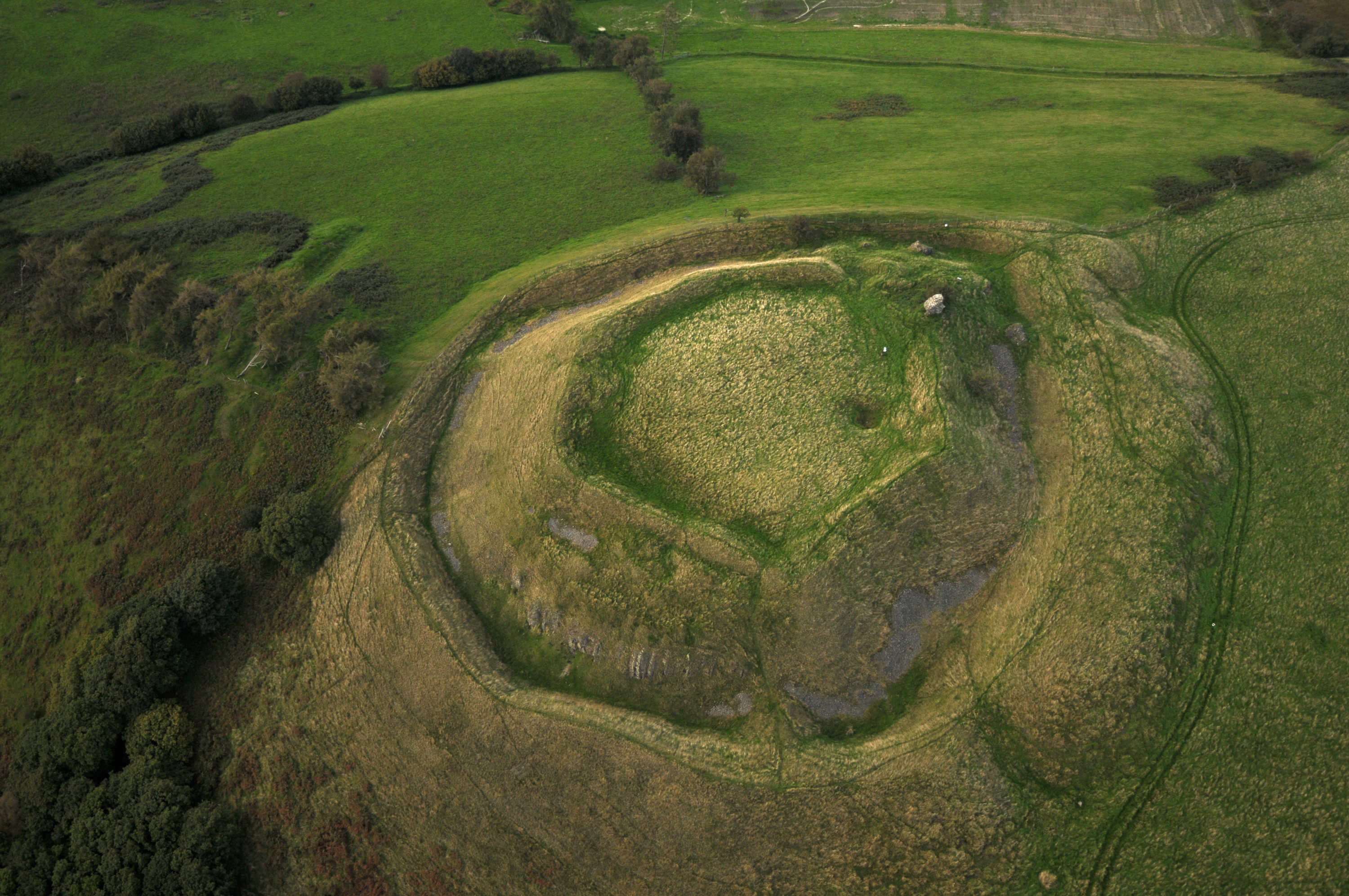
In addition to its natural attractions, Fron Hir holds historical significance. The hill is surrounded by ancient monuments, including burial mounds and standing stones, which serve as reminders of the area's rich past. These archaeological sites offer an intriguing glimpse into the lives of the people who inhabited the region centuries ago.

Overall, Fron Hir is a captivating destination that combines stunning natural beauty with a rich cultural heritage. Whether one seeks adventure, tranquility, or an appreciation of history, this hill in Radnorshire offers a memorable experience for all who visit.

If you have any feedback on the listing, please let us know in the comments section below.

Fron Hir Images

Images are sourced within 2km of 52.348361/-3.2675396 or Grid Reference SO1373. Thanks to Geograph Open Source API. All images are credited.

A prickly common Gorse is rather prolific on some of the Radnorshire commons.
A prickly common
Gorse is rather prolific on some of the Radnorshire commons.
Track on Maelienydd Passing near the common's highest point and avoiding the gorse.
Track on Maelienydd
Passing near the common's highest point and avoiding the gorse.
361m summit, Maelienydd The common's high point with a small cairn.
361m summit, Maelienydd
The common's high point with a small cairn.
B4356, east of Llanbister
Road junction in Mid Wales Llanbister to the left and Llanbadarn Fynydd off to the right.
Road junction in Mid Wales
Llanbister to the left and Llanbadarn Fynydd off to the right.
Turning for Cantel
Turning for Cantel
Country road crossing Maelienydd Country road crossing open access land on Maelienydd.
Country road crossing Maelienydd
Country road crossing open access land on Maelienydd.
Upland road crossing Maelienydd Upland road crossing an area of open access upland grazing on Maelienydd.
Upland road crossing Maelienydd
Upland road crossing an area of open access upland grazing on Maelienydd.
Upland mid-Wales View across the Aran valley across upland grazing to the north-west of Dolau.
Upland mid-Wales
View across the Aran valley across upland grazing to the north-west of Dolau.
Road approaching Cantel Upland country road approaching Cantel.
Road approaching Cantel
Upland country road approaching Cantel.
Rough upland grazing near Cantel View across rough upland grazing land to Beacon Hill and Pool Hill where the source of the River Lugg is.
Rough upland grazing near Cantel
View across rough upland grazing land to Beacon Hill and Pool Hill where the source of the River Lugg is.
Cattle grid at Cantel Upland road leaving the open access land over a cattle grid to Cantel, which other than a couple of farms doesn't appear to be marked on the OS map.
Cattle grid at Cantel
Upland road leaving the open access land over a cattle grid to Cantel, which other than a couple of farms doesn't appear to be marked on the OS map.
Road crossing Littlehill Common Road crossing Littlehill Common and area of open common land south of Crossways.
Road crossing Littlehill Common
Road crossing Littlehill Common and area of open common land south of Crossways.
Littlehill Common Littlehill Common with a view beyond to Beacon Hill, a beautiful unspoilt, little visited, mid-Wales landscape.
Littlehill Common
Littlehill Common with a view beyond to Beacon Hill, a beautiful unspoilt, little visited, mid-Wales landscape.
Common land near Towerhill Farm Some of the common land of Littlehill Common near Towerhill Farm.
Common land near Towerhill Farm
Some of the common land of Littlehill Common near Towerhill Farm.
Cattle grid on Littlehill Common Cattle grid above Crossways on the north side of Littlehill Common.
Cattle grid on Littlehill Common
Cattle grid above Crossways on the north side of Littlehill Common.
Farmland at Crossways View over farmland and upland grazing at Crossways.
Farmland at Crossways
View over farmland and upland grazing at Crossways.
Crossways The B4346 passing Crossways, the same view as Richard Webb's <a href="https://www.geograph.org.uk/photo/1470512">SO1474 : Crossways</a> though the house has been painted and there is building work tracking place on the right behind the telephone box.
Crossways
The B4346 passing Crossways, the same view as Richard Webb's SO1474 : Crossways though the house has been painted and there is building work tracking place on the right behind the telephone box.
Show me another place!

Fron Hir is located at Grid Ref: SO1373 (Lat: 52.348361, Lng: -3.2675396)

Unitary Authority: Powys

Police Authority: Dyfed Powys

What 3 Words

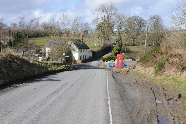
///merely.conqueror.birds. Near Penybont, Powys

Nearby Locations

Fron Hir

Related Wikis

Llanbister

Llanbister is a small village and community with a 2011 population of 382 in Powys, mid Wales, in the historic county of Radnorshire. == Facilities... ==

Heartsease, Llanddewi Ystradenni

Heartsease is a small settlement or hamlet in the parish and community of Llanddewi Ystradenni in Powys, Wales. It should not be confused with Heartsease...

Llanbister Road railway station

Llanbister Road railway station is a countryside stop about 5 miles (8 km) from the village of Llanbister, Powys, Wales. The station is 41+3⁄4 miles (67...

Rhwng Gwy a Hafren

Rhwng Gwy a Hafren (English: Between Wye and Severn) was a region of medieval Wales, located in the Welsh Marches between Powys to the north and Brycheiniog...

St Anno's Church, Llananno

The Church of St Anno in Llananno, Powys, Wales, is a redundant church dating from the 14th century. Its medieval rood screen is considered "one of the...

Buddugre Castle

Buddugre Castle (sometimes referred to as Tomen Bedd-Ugre, Castell Cwm Aran, Tomen Bedd Turc and Bedd-y-gre) was a motte and bailey defensive fortification...

Tinboeth Castle

Tinboeth Castle (Welsh: Castell Dinbod) was a medieval castle situated midway between Llanbister and Llanbadarn Fynydd in Wales, on a bend in the River...

Beacon Hill, Powys

Beacon Hill (Welsh: Mynydd Disglair) is a hill in the county of Radnorshire, Wales. It lies within the Powys unitary council area. It is located north...

Nearby Amenities

Located within 500m of 52.348361,-3.2675396
Place: farm
Lat/Long: 52.3447613/-3.2683238
Direction: SSE
Generator Method: photovoltaic
Generator Output Electricity: yes
Generator Solar Modules: 14
Generator Source: solar
Generator Type: solar_photovoltaic_panel
Location: roof
Power: generator
Lat/Long: 52.3460048/-3.2616225
Direction: 170
Generator Method: photovoltaic
Generator Output Electricity: yes
Generator Solar Modules: 28
Generator Source: solar
Generator Type: solar_photovoltaic_panel
Location: roof
Power: generator
Lat/Long: 52.3446698/-3.2664994
The data included in this document is from www.openstreetmap.org. The data is made available under ODbL.

Have you been to Fron Hir?

Leave your review of Fron Hir below (or comments, questions and feedback).