Cae-glas Hill

Hill, Mountain in Radnorshire

Wales

Cae-glas Hill

Dewey bagging Looking northeast from Gors Lydan to Warren Hill
Dewey bagging Credit: John Horner

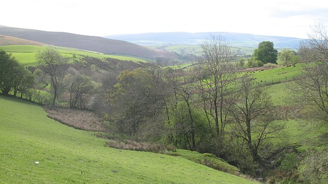
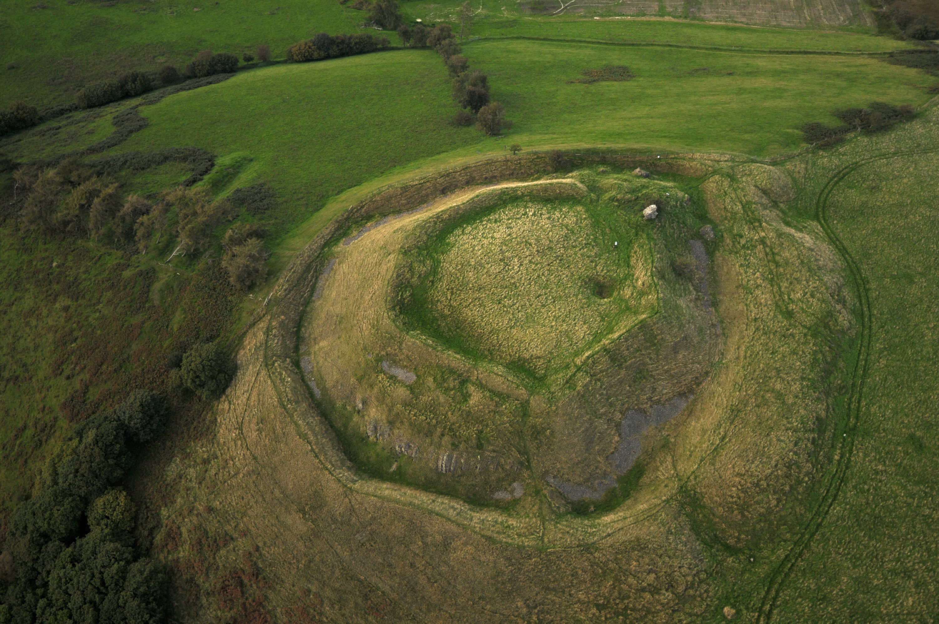
Cae-glas Hill is a prominent geographical feature located in Radnorshire, Wales. Situated in the heart of the county, the hill is part of the wider Radnor Forest area, renowned for its natural beauty and stunning landscapes. Cae-glas Hill rises to an elevation of approximately 450 meters (1476 feet) above sea level, making it a notable peak within the region.

The hill is characterized by its gentle slopes and verdant greenery, providing a picturesque backdrop for the surrounding countryside. Its name, "Cae-glas," translates to "green field" in the Welsh language, a fitting description given the vibrant vegetation that adorns its slopes. The hill is predominantly covered in grasses, heather, and scattered shrubs, creating a diverse and visually appealing natural habitat.

Cae-glas Hill offers breathtaking panoramic views from its summit, allowing visitors to appreciate the surrounding Radnorshire landscape. On a clear day, one can observe the rolling hills, deep valleys, and distant mountain ranges that stretch as far as the eye can see.

The hill is a popular destination for hikers and nature enthusiasts, who can explore its numerous footpaths and trails, immersing themselves in the tranquility of the Welsh countryside. Its accessibility and relatively moderate incline make it suitable for individuals of varying fitness levels.

In addition to its natural beauty, Cae-glas Hill also holds historical significance. It is said to have served as a lookout point during ancient times, providing strategic advantages to those who sought to defend or conquer the region.

Overall, Cae-glas Hill stands as a testament to the breathtaking landscapes and rich history of Radnorshire, attracting visitors from far and wide to experience its natural wonders firsthand.

If you have any feedback on the listing, please let us know in the comments section below.

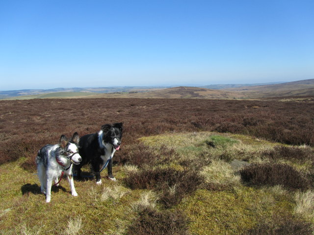
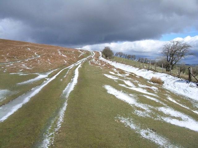
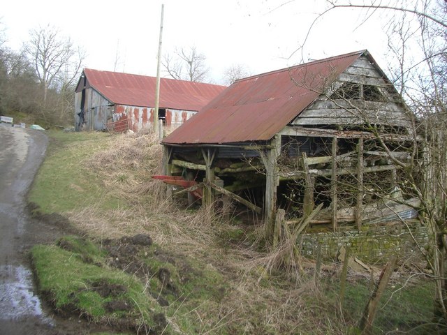
Cae-glas Hill Images

Images are sourced within 2km of 52.392993/-3.2690387 or Grid Reference SO1377. Thanks to Geograph Open Source API. All images are credited.

Dewey bagging Looking northeast from Gors Lydan to Warren Hill
Dewey bagging
Looking northeast from Gors Lydan to Warren Hill
Gors Lydan Third Dewey and fourth HuMP of a grey cloudy short day just as the rain and hail arrives. Top is bilberry knoll with some stones in it.
Name: Gors Lydan
Hill number: 3469
Height: 528m / 1732ft
Area: 31B: Welshpool to Hay-on-Wye
Class: Hu,5
Grid ref: SO 12614 76868
Summit feature: tumulus
Drop: 122m
Col: 406m  SO152764
Gors Lydan
Third Dewey and fourth HuMP of a grey cloudy short day just as the rain and hail arrives. Top is bilberry knoll with some stones in it. Name: Gors Lydan Hill number: 3469 Height: 528m / 1732ft Area: 31B: Welshpool to Hay-on-Wye Class: Hu,5 Grid ref: SO 12614 76868 Summit feature: tumulus Drop: 122m Col: 406m SO152764
Gors Lydan Moorland in the Radnor Forest. Dry well drained ground covered in close cropped heather and wimberry.
Gors Lydan
Moorland in the Radnor Forest. Dry well drained ground covered in close cropped heather and wimberry.
Baled bracken The view towards Lower Green and Tynybryniau.
Baled bracken
The view towards Lower Green and Tynybryniau.
Tynybryniau The ford on the road to Tynybryniau farm, as seen from the lane to Lower Green
Tynybryniau
The ford on the road to Tynybryniau farm, as seen from the lane to Lower Green
Maes-gwyn farm Maes-gwyn means 'white field'.
Maes-gwyn farm
Maes-gwyn means 'white field'.
Bridle path near Tyn yr ynn
Deuddwr Brook
Deuddwr Brook
Bridleway on Newhouse Hill
Barns at Lower Cae-glas
Tre Foel A derelict farmhouse on the edge of this much-extended and modernised farm outpost. The dead tree gives a sombre air on this gloomy morning.
Tre Foel
A derelict farmhouse on the edge of this much-extended and modernised farm outpost. The dead tree gives a sombre air on this gloomy morning.
New barn A large barn that does not appear on the map, with views over the pasture towards the Cil Owen Brook.
New barn
A large barn that does not appear on the map, with views over the pasture towards the Cil Owen Brook.
Road from Bwlch-gwyn Track heading eastward towards Beacon Hill. Vehicle tracks are visible on Black Mountain.
Road from Bwlch-gwyn
Track heading eastward towards Beacon Hill. Vehicle tracks are visible on Black Mountain.
Cnwch Dingle Typical hybrid Radnorshire place name. View down one of the valleys running off the Beacon Hill moors.
Cnwch Dingle
Typical hybrid Radnorshire place name. View down one of the valleys running off the Beacon Hill moors.
Fields, Bwlch-gwyn High altitude enclosed farmland. View from the edge of the moorland.
Fields, Bwlch-gwyn
High altitude enclosed farmland. View from the edge of the moorland.
On Warren Hill South of Warren Hill, a view of Beacon Hill and the still extensive mountain land remaining here. This is not continuous moorland, there is a strip of improved land out of sight between here and Beacon Hill.
On Warren Hill
South of Warren Hill, a view of Beacon Hill and the still extensive mountain land remaining here. This is not continuous moorland, there is a strip of improved land out of sight between here and Beacon Hill.
Tumulus, Warren Hill Like  many Radnor Forest hilltops, Warren Hill has a tumulus on the summit. Wimberries (Vaccinium myrtillus) in leaf and flowering, but the ponies and sheep make the bushes small and picking the berries hard work.
Tumulus, Warren Hill
Like many Radnor Forest hilltops, Warren Hill has a tumulus on the summit. Wimberries (Vaccinium myrtillus) in leaf and flowering, but the ponies and sheep make the bushes small and picking the berries hard work.
Camddwr View down to Camddwr from one of the Warren Hill tumuli. Ground has been improved to a high altitude on Gors Lydan across the valley.
Camddwr
View down to Camddwr from one of the Warren Hill tumuli. Ground has been improved to a high altitude on Gors Lydan across the valley.
Show me another place!

Cae-glas Hill is located at Grid Ref: SO1377 (Lat: 52.392993, Lng: -3.2690387)

Unitary Authority: Powys

Police Authority: Dyfed Powys

What 3 Words

///kebab.shadowing.slipped. Near Mochdre, Powys

Related Wikis

Llanbadarn Fynydd

Llanbadarn Fynydd (meaning Church of Padarn in the mountain) is a village and community in Radnorshire, Powys, Wales, and is 63 miles (101 km) from Cardiff...

Beacon Hill, Powys

Beacon Hill (Welsh: Mynydd Disglair) is a hill in the county of Radnorshire, Wales. It lies within the Powys unitary council area. It is located north...

Llanbister

Llanbister is a small village and community with a 2011 population of 382 in Powys, mid Wales, in the historic county of Radnorshire. == Facilities... ==

Tinboeth Castle

Tinboeth Castle (Welsh: Castell Dinbod) was a medieval castle situated midway between Llanbister and Llanbadarn Fynydd in Wales, on a bend in the River...

Have you been to Cae-glas Hill?

Leave your review of Cae-glas Hill below (or comments, questions and feedback).