Blyth Bank Hill
Hill, Mountain in Peeblesshire
Scotland
Blyth Bank Hill
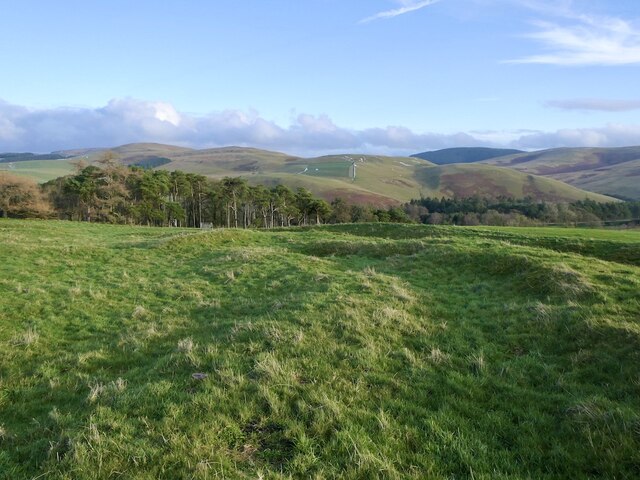
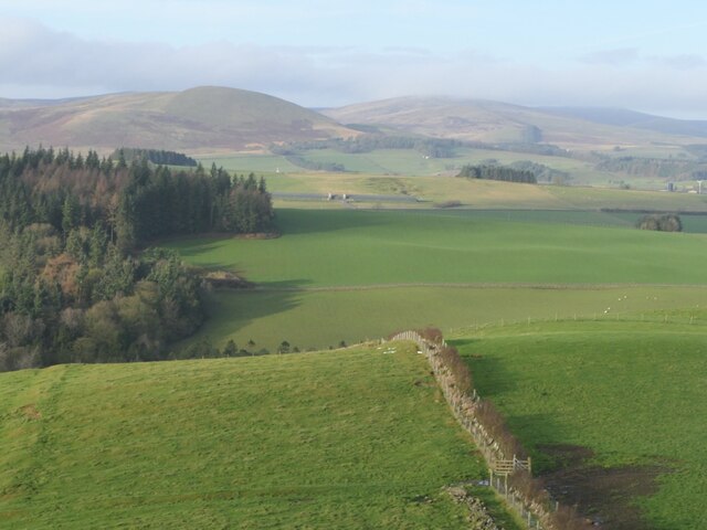
Blyth Bank Hill is a prominent hill located in Peeblesshire, in the southern region of Scotland. It forms part of the Southern Uplands, a range of hills and mountains that stretch across the southernmost part of the country. Standing at an elevation of approximately 375 meters (1,230 feet), Blyth Bank Hill offers breathtaking panoramic views of the surrounding countryside.
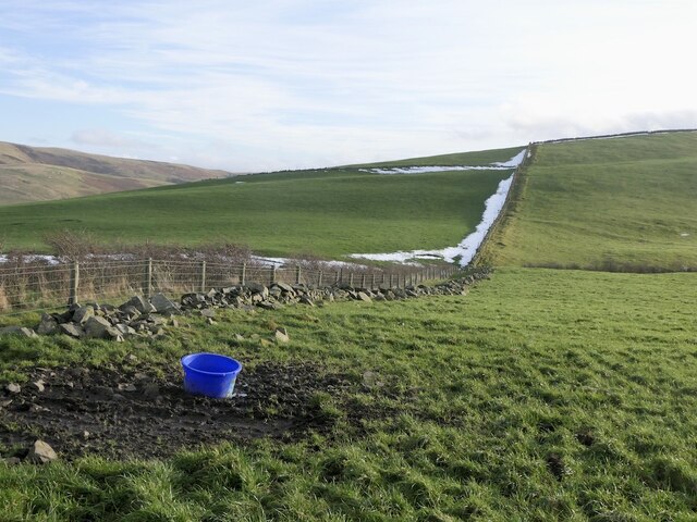
The hill is characterized by its gently sloping grassy terrain, which is ideal for hiking and walking enthusiasts. Its accessible nature makes it a popular destination for both locals and tourists, seeking to enjoy outdoor activities and take in the scenic beauty of the region. The summit of Blyth Bank Hill is marked by a trig point, providing a convenient landmark for visitors to navigate.
The hill is also home to a variety of flora and fauna, with heather, grasses, and wildflowers covering its slopes. It attracts a diverse range of bird species, making it an excellent spot for birdwatching. Blyth Bank Hill is also known for its historical significance, with remnants of ancient settlements and structures scattered across its slopes, adding an element of intrigue to its natural charm.
Access to Blyth Bank Hill is straightforward, with several footpaths leading up to its summit from nearby villages and towns. The hill's proximity to Peebles, a picturesque town nestled along the banks of the River Tweed, makes it an ideal location for a day trip or a longer exploration of the surrounding area.
If you have any feedback on the listing, please let us know in the comments section below.
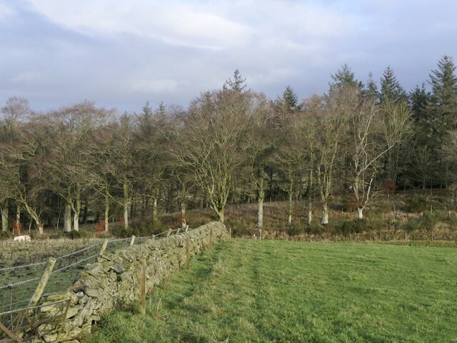
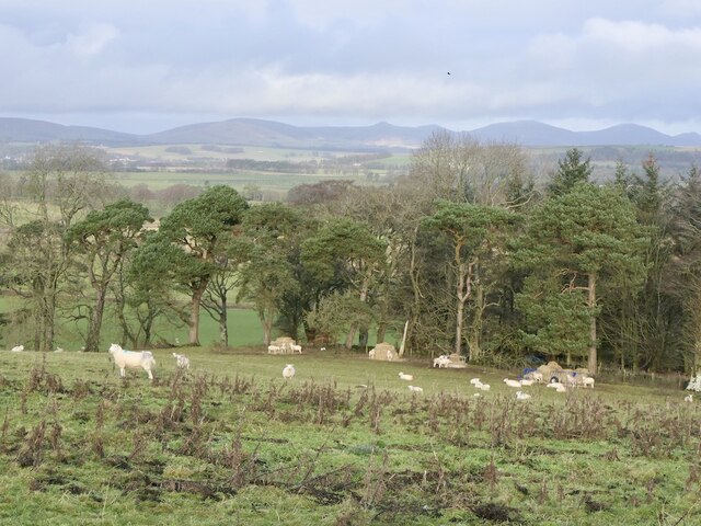
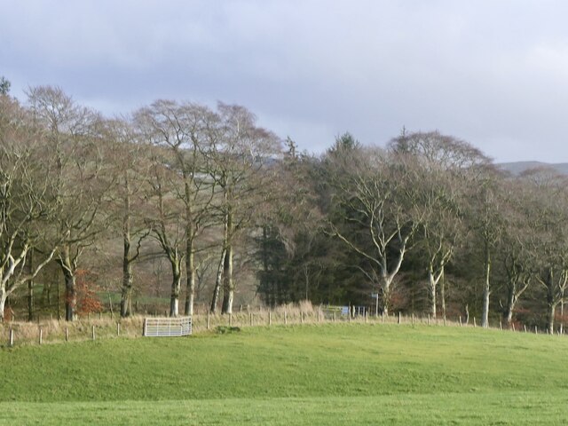
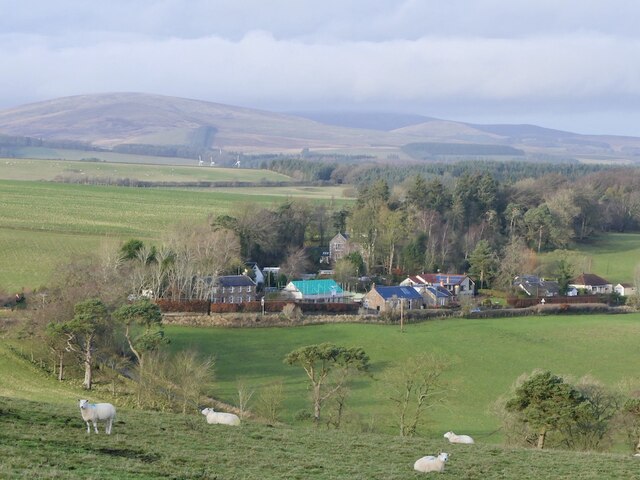
Blyth Bank Hill Images
Images are sourced within 2km of 55.704293/-3.3746091 or Grid Reference NT1346. Thanks to Geograph Open Source API. All images are credited.


Blyth Bank Hill is located at Grid Ref: NT1346 (Lat: 55.704293, Lng: -3.3746091)
Unitary Authority: The Scottish Borders
Police Authority: The Lothians and Scottish Borders
What 3 Words
///salon.illogical.fussy. Near West Linton, Scottish Borders
Nearby Locations
Related Wikis
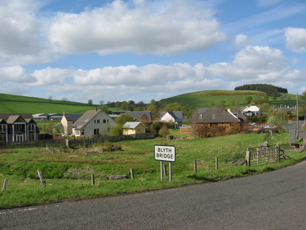
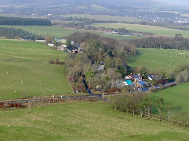
Blyth Bridge
Blyth Bridge is a small hamlet in the Scottish Borders area of Scotland, near to West Linton. It is located in a bend on the A701 which goes from Moffat...

Bordlands
Bordlands is a village in the Parish of Newlands in the Scottish Borders area of Scotland. The former name of Bordlands was Boreland. == See also == List...
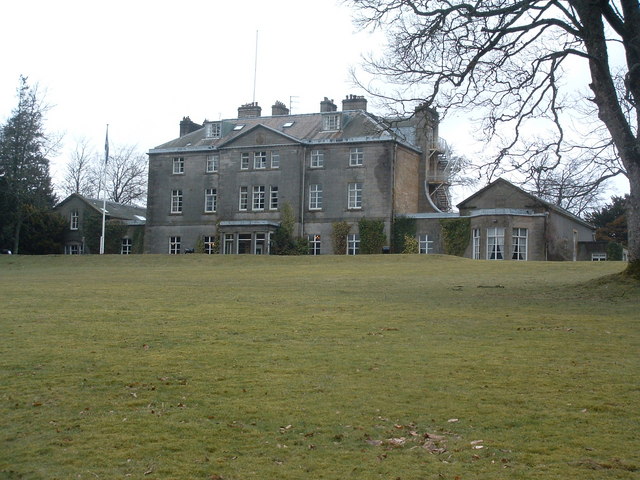
Castle Craig Hospital
Castle Craig Hospital is a private residential drug and alcohol rehabilitation clinic. It is located in Peeblesshire, Scotland. Castle Craig is an 18th...

Kirkurd
Kirkurd is a parish in Peeblesshire in the Scottish Borders situated 3 miles south-east of Dolphinton and 6 miles north-east of Broughton. Tarth Water...
Nearby Amenities
Located within 500m of 55.704293,-3.3746091Have you been to Blyth Bank Hill?
Leave your review of Blyth Bank Hill below (or comments, questions and feedback).