Blairstruie Hill

Hill, Mountain in Perthshire

Scotland

Blairstruie Hill

M90 crossing the Ochils The steep descent to Strathearn off the Ochil Hills. Unusually steep and bendy for a motorway.  I travelled on it the morning it opened, quite an improvement on the old road through Glen Farg.
M90 crossing the Ochils Credit: Richard Webb

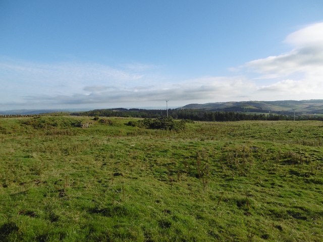
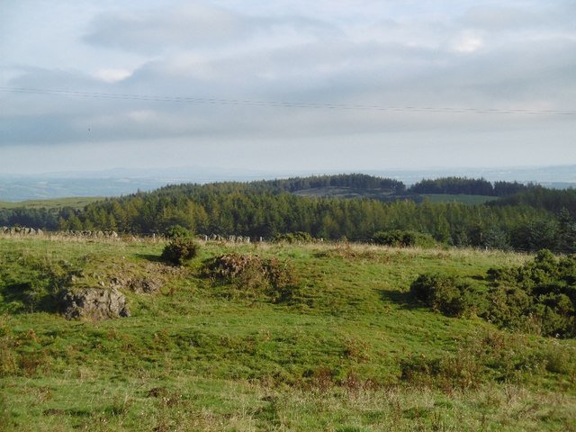
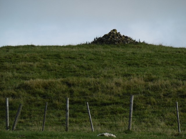
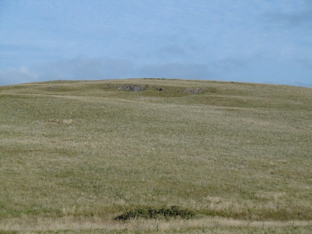
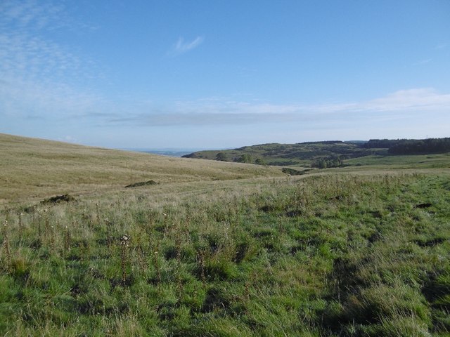
Blairstruie Hill, located in Perthshire, Scotland, is a prominent hill that offers stunning panoramic views of the surrounding landscape. Standing at an elevation of approximately 472 meters (1549 feet), it is a popular destination among hikers, nature enthusiasts, and photographers.

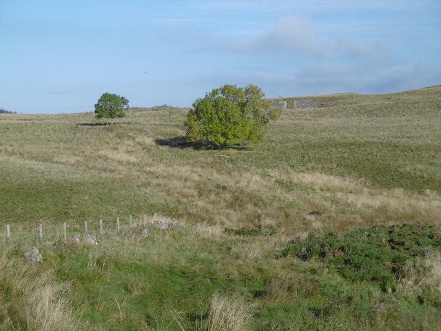
The hill is situated just south of the village of Comrie, and its distinctive shape and rugged terrain make it a noticeable landmark in the area. Covered in heather and grass, the hill is known for its picturesque beauty, particularly during the summer months when wildflowers bloom and add vibrant colors to the landscape.

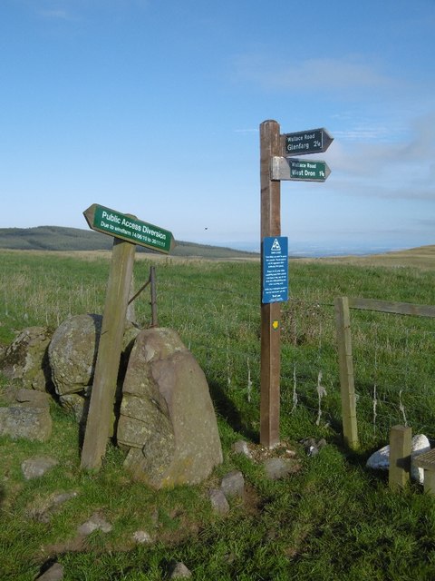
Blairstruie Hill is easily accessible via a well-marked trail that starts at the edge of Comrie. The ascent to the summit is moderate, with a few steeper sections that require some physical effort. However, the effort is rewarded with breathtaking views across the valley, the nearby Loch Earn, and the surrounding hills of Perthshire.

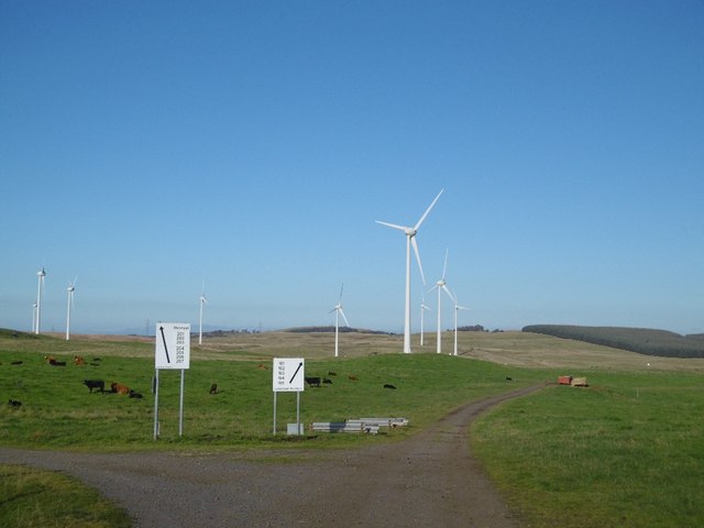
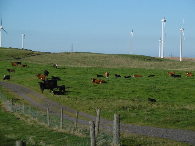
The hill is also home to a variety of wildlife, including red deer, mountain hares, and various bird species. Ornithologists often visit Blairstruie Hill to observe and study the diverse bird population that inhabits the area.

Overall, Blairstruie Hill is a must-visit destination for those seeking a peaceful and picturesque outdoor experience in the heart of Perthshire. Whether you are a seasoned hiker or simply want to enjoy the beauty of nature, this hill offers a memorable and rewarding adventure.

If you have any feedback on the listing, please let us know in the comments section below.

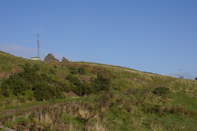
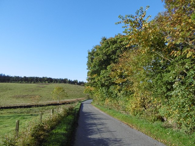
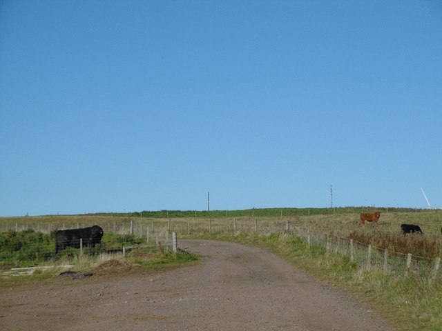
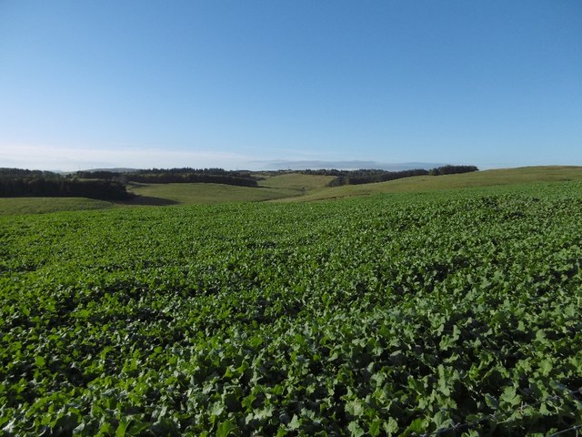
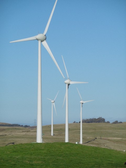
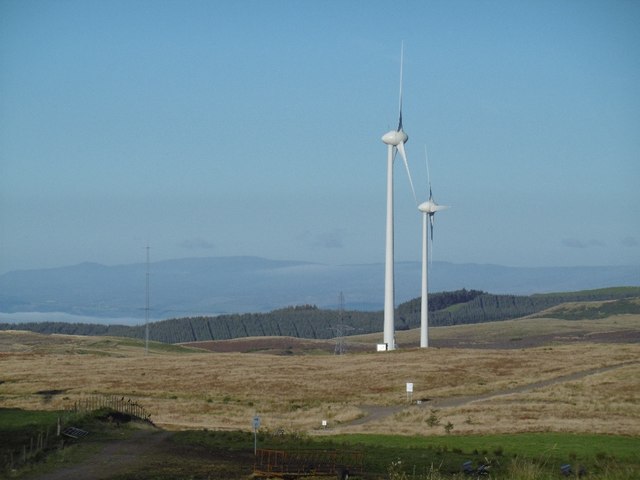
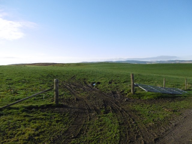
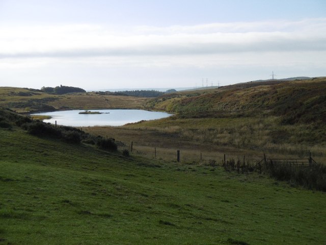
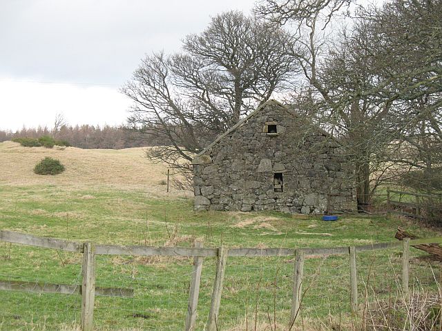
Blairstruie Hill Images

Images are sourced within 2km of 56.307159/-3.3985967 or Grid Reference NO1313. Thanks to Geograph Open Source API. All images are credited.

M90 crossing the Ochils The steep descent to Strathearn off the Ochil Hills. Unusually steep and bendy for a motorway.  I travelled on it the morning it opened, quite an improvement on the old road through Glen Farg.
M90 crossing the Ochils
The steep descent to Strathearn off the Ochil Hills. Unusually steep and bendy for a motorway. I travelled on it the morning it opened, quite an improvement on the old road through Glen Farg.
Little Fildie A ruin overlooking the M90.
Little Fildie
A ruin overlooking the M90.
Lane near Fordel The single track alternative to the M90 near Glenfarg.
Lane near Fordel
The single track alternative to the M90 near Glenfarg.
Wind farm road, Lochelbank As is usual practice, a road has been built by the wind farm constructors around the farm. The Aberdeen Angus bull was rather keen to cross it.
Wind farm road, Lochelbank
As is usual practice, a road has been built by the wind farm constructors around the farm. The Aberdeen Angus bull was rather keen to cross it.
Turnips, Lochelbank
Turnips, Lochelbank
Field, Lochelbank Lumpy ground on the Ochil Hills igneous rock.
Field, Lochelbank
Lumpy ground on the Ochil Hills igneous rock.
Basalt outcrop, Lochelbank The ground looks quarried here.
Basalt outcrop, Lochelbank
The ground looks quarried here.
Wind farm roads, Lochelbank An older wind farm with relatively inoffensive turbines, much smaller than those usually built today.
Wind farm roads, Lochelbank
An older wind farm with relatively inoffensive turbines, much smaller than those usually built today.
Cattle, Lochelbank The road serves the wind farm.
Cattle, Lochelbank
The road serves the wind farm.
Turbines, Lochelbank By today's standards these are small turbines and relatively well hidden in views.
Turbines, Lochelbank
By today's standards these are small turbines and relatively well hidden in views.
Lochelbank wind farm A pair of turbines and now shrunken forestry plantation.
Lochelbank wind farm
A pair of turbines and now shrunken forestry plantation.
Field, Lochelbank Sometimes you can look in other directions from the wind turbines.
Field, Lochelbank
Sometimes you can look in other directions from the wind turbines.
Loch Wirr One of the small lochs in this part of the Ochil Hills.
Loch Wirr
One of the small lochs in this part of the Ochil Hills.
Cairn Geddes Possible Bronze Age site - a stone coffin was once found here, (glenfarg.org).
Cairn Geddes
Possible Bronze Age site - a stone coffin was once found here, (glenfarg.org).
Signpost, Wallace Road The diversion sign dates the building of the wind farm to 2011.
Signpost, Wallace Road
The diversion sign dates the building of the wind farm to 2011.
West Dron Hill Farm Now ruined: beside the Wallace Road.
West Dron Hill Farm
Now ruined: beside the Wallace Road.
Dron Hill With small quarry.
Dron Hill
With small quarry.
The Dron Burn Grassy uplands in the Ochil Hills you pass by on the M90.
The Dron Burn
Grassy uplands in the Ochil Hills you pass by on the M90.
Show me another place!

Blairstruie Hill is located at Grid Ref: NO1313 (Lat: 56.307159, Lng: -3.3985967)

Unitary Authority: Perth and Kinross

Police Authority: Tayside

What 3 Words

///comforted.centrally.frown. Near Bridge of Earn, Perth & Kinross

Related Wikis

Bein Inn

The Bein Inn (commonly known as the Famous Bein Inn) is an historic building in Glenfarg, Perth and Kinross, Scotland. A "noted hostelry," according to...

Glenfarg railway station

Glenfarg railway station served the village of Glenfarg, Perth and Kinross, Scotland, from 1890 to 1964, on the Glenfarg Line. == History == The station...

Abbots Deuglie

Abbots Deuglie () is a hamlet in Perth and Kinross, Scotland. It is located in the Ochil Hills, in Arngask parish, about one mile (1.5 km) west of Glenfarg...

Glenfarg

Glenfarg (Scottish Gaelic: Gleann Fairg) is a village in the Ochil Hills in Perth and Kinross, Scotland. Until 14 June 1964, the village had a railway...

Nearby Amenities

Located within 500m of 56.307159,-3.3985967
Power: pole
Lat/Long: 56.3053503/-3.3936188
Power: pole
Lat/Long: 56.3046882/-3.3933941
Power: pole
Lat/Long: 56.3040024/-3.3931536
The data included in this document is from www.openstreetmap.org. The data is made available under ODbL.

Have you been to Blairstruie Hill?

Leave your review of Blairstruie Hill below (or comments, questions and feedback).