Craighead Hill
Hill, Mountain in Dumfriesshire
Scotland
Craighead Hill
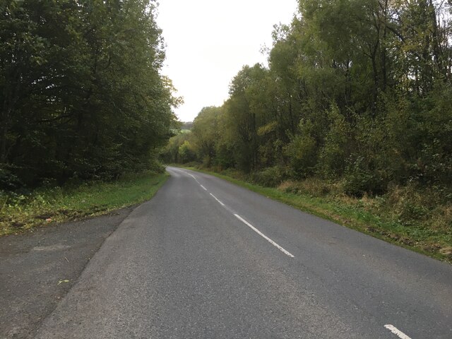
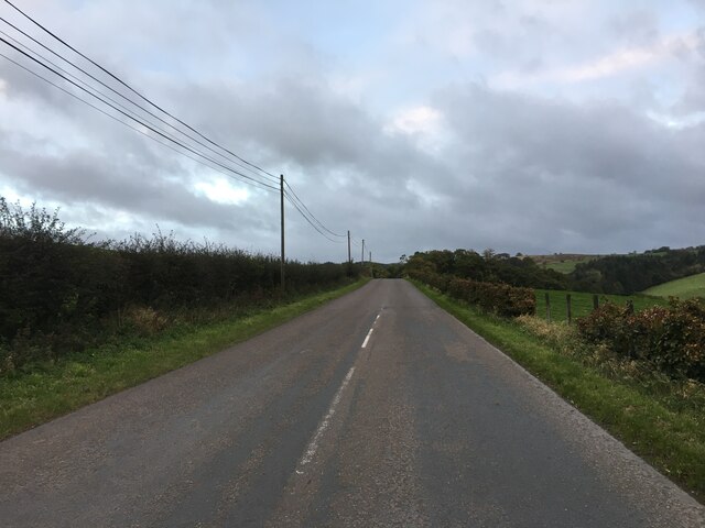
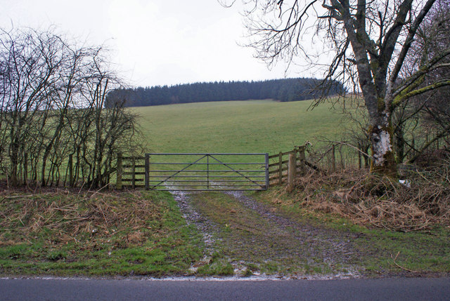
Craighead Hill is a prominent landmark situated in Dumfriesshire, Scotland. Rising to an elevation of approximately 425 meters (1,394 feet), it is classified as a hill rather than a mountain. The hill is located near the village of Moniaive and lies within the Southern Uplands, a picturesque region renowned for its rolling hills and stunning landscapes.
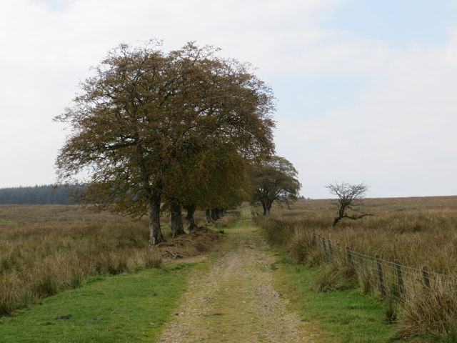
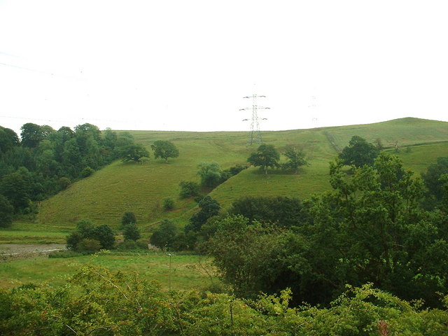
Craighead Hill offers breathtaking panoramic views of the surrounding countryside, making it a popular destination for nature enthusiasts and hikers. The hill is covered in a mix of heather moorland and grassy slopes, providing a habitat for various plant and animal species. The diverse flora includes purple heather, gorse bushes, and scattered trees, creating a visually striking scene throughout the year.
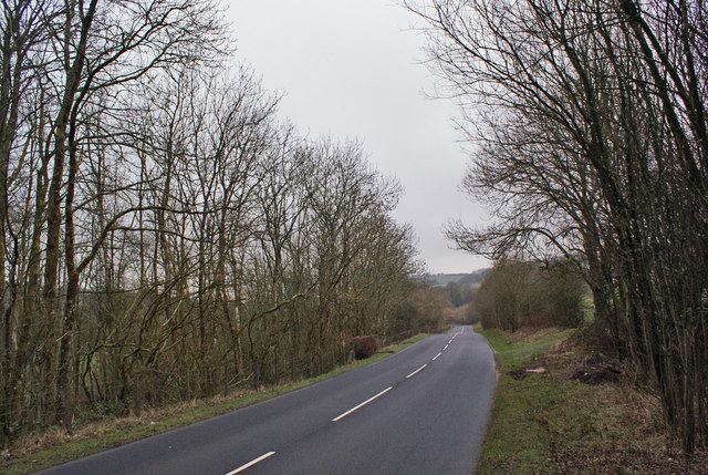
With its easily accessible trails and well-maintained paths, Craighead Hill attracts visitors of all ages and abilities. The ascent to the summit is relatively gentle, allowing for a pleasant and enjoyable walk accompanied by captivating vistas at every turn. On clear days, the hill offers breathtaking views across the Nith Valley and the surrounding hills, providing an opportunity to appreciate the natural beauty of Dumfriesshire.
Craighead Hill holds historical significance as well. It is believed to have been a site of ancient settlements, with remnants of stone circles and burial mounds found in the vicinity. These archaeological remains contribute to the hill's allure, adding an element of intrigue to its natural charm.
In conclusion, Craighead Hill is a captivating landmark in Dumfriesshire, Scotland, offering stunning views, diverse flora, and a touch of ancient history. It is a must-visit destination for nature lovers and those seeking a tranquil escape amidst the beautiful Southern Uplands.
If you have any feedback on the listing, please let us know in the comments section below.
Craighead Hill Images
Images are sourced within 2km of 55.182876/-3.3600836 or Grid Reference NY1388. Thanks to Geograph Open Source API. All images are credited.


![Cottage by Gowka Burn Cleuch Looking north. I think Cleuch must be a 'local' [Gaelic?] name for a stream valley?](https://s3.geograph.org.uk/photos/22/15/221551_739d1f95.jpg)


Craighead Hill is located at Grid Ref: NY1388 (Lat: 55.182876, Lng: -3.3600836)
Unitary Authority: Dumfries and Galloway
Police Authority: Dumfries and Galloway
What 3 Words
///outreach.makeovers.unlimited. Near Johnstonebridge, Dumfries & Galloway
Nearby Locations
Related Wikis

Sibbaldbie
Sibbaldbie is a small village in Annandale, Dumfries and Galloway, Scotland. == References ==
Nethercleugh railway station
Nethercleugh railway station was a station which served the rural area around Nethercleugh and the estate of Jardine Hall, 3 miles north of Lockerbie in...

Dinwoodie railway station
Dinwoodie railway station was a station which served the rural area around the settlement of Dinwoodie, 6 miles north of Lockerbie in Applegarth parish...
Boreland
Boreland is a village in Dumfries and Galloway, Scotland, which is located in Dryfesdale about 7 miles (11 kilometres) north of Lockerbie on the B723 road...
Have you been to Craighead Hill?
Leave your review of Craighead Hill below (or comments, questions and feedback).