Black Ball Hill
Hill, Mountain in Somerset Somerset West and Taunton
England
Black Ball Hill
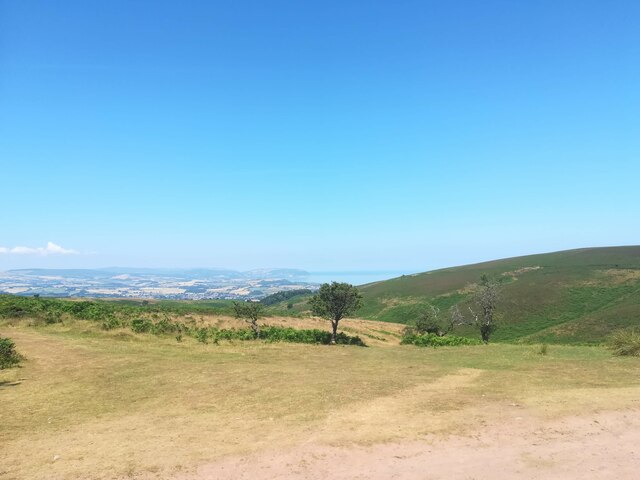
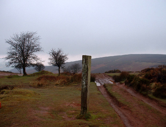
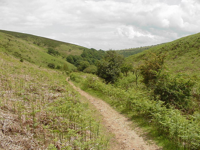
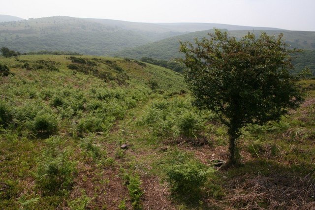
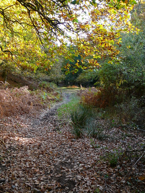
Black Ball Hill, located in Somerset, England, is a prominent hill that forms part of the Quantock Hills, a designated Area of Outstanding Natural Beauty. Standing at an elevation of 422 meters (1,385 feet), it offers breathtaking views of the surrounding countryside and is a popular destination for hikers and nature enthusiasts.
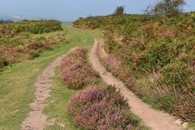
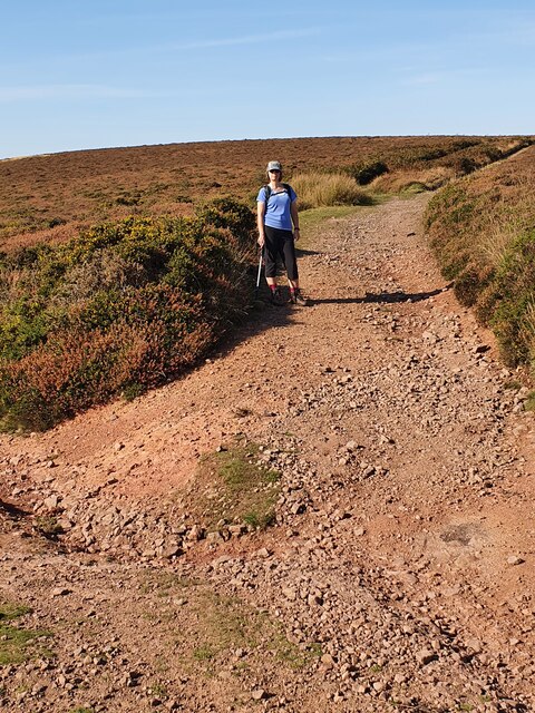
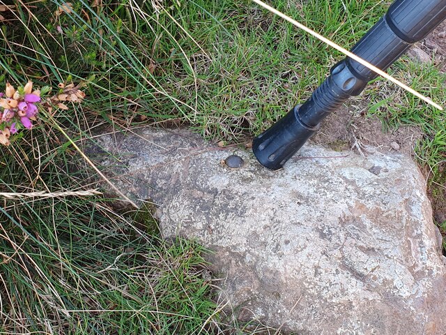
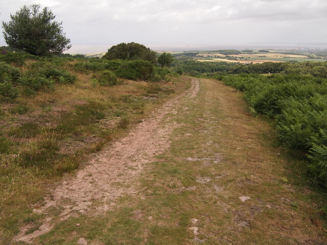
The hill derives its name from a distinctive dark rock formation found at its peak, resembling a black ball. This geological feature adds to the allure of the hill and contributes to its unique character. The summit is easily accessible via well-maintained footpaths, making it a favored spot for walkers seeking a challenging but rewarding climb.
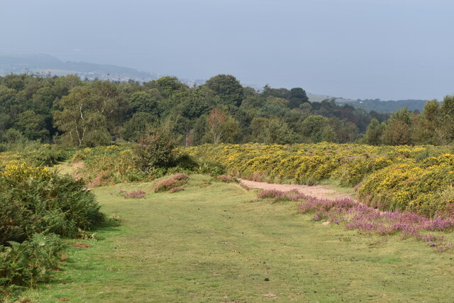
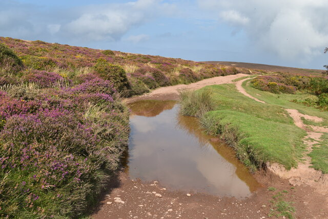
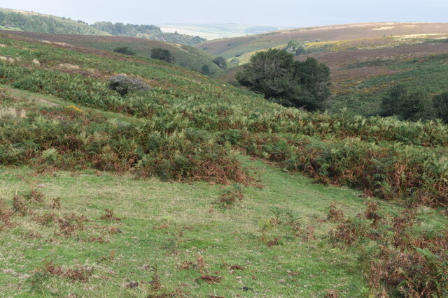
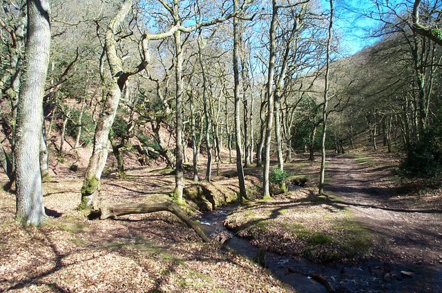
The landscape surrounding Black Ball Hill is predominantly heather-covered moorland, dotted with numerous native plant species and wildlife. The environment supports a diverse range of flora and fauna, including birds of prey, such as buzzards and kestrels, and various species of butterflies and wildflowers.
Visitors to Black Ball Hill can enjoy panoramic views of the rolling hills and valleys that stretch out before them, with the Bristol Channel visible in the distance. On a clear day, it is even possible to catch glimpses of the Welsh mountains.
With its tranquil atmosphere and stunning vistas, Black Ball Hill offers a peaceful retreat for those seeking solace in nature. Whether it is a leisurely stroll or a more strenuous hike, this majestic hill is sure to leave a lasting impression on all who visit.
If you have any feedback on the listing, please let us know in the comments section below.
Black Ball Hill Images
Images are sourced within 2km of 51.148576/-3.2424629 or Grid Reference ST1339. Thanks to Geograph Open Source API. All images are credited.


Black Ball Hill is located at Grid Ref: ST1339 (Lat: 51.148576, Lng: -3.2424629)
Administrative County: Somerset
District: Somerset West and Taunton
Police Authority: Avon and Somerset
What 3 Words
///umbrellas.bring.diverts. Near Williton, Somerset
Nearby Locations
Related Wikis

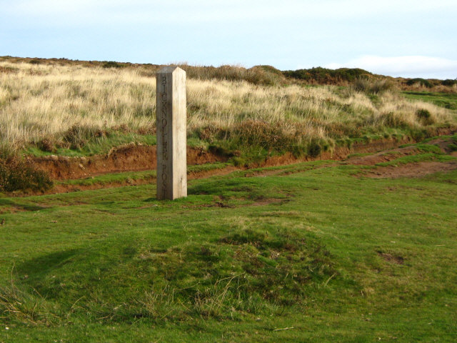
Quantock Hills
The Quantock Hills west of Bridgwater in Somerset, England, consist of heathland, oak woodlands, ancient parklands and agricultural land. They were England...
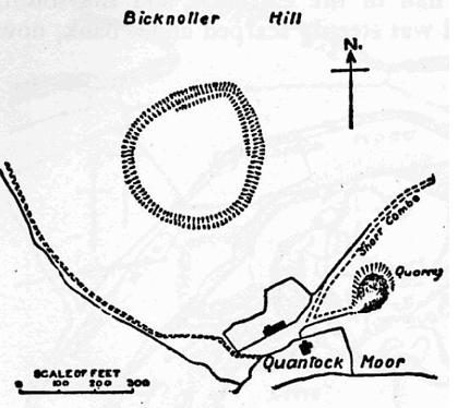
Trendle Ring
Trendle Ring (or Trundle Ring) is a late prehistoric earthwork on the Quantock Hills near Bicknoller in Somerset, England. It is a Scheduled Monument....

Halsway Manor
Halsway Manor (also known as Halsway Court) is a manor house in Halsway, Somerset. It is owned by the Halsway Manor Society who operate the manor as a...

Bicknoller
Bicknoller is a village and civil parish on the western slopes of the Quantock Hills in the English county of Somerset. Administratively, the civil parish...
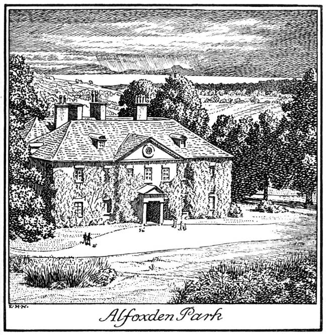
Alfoxton House
Alfoxton House, also known as Alfoxton Park or Alfoxden, is an 18th-century country house in Holford, Somerset, England, within the Quantock Hills Area...

Crowcombe Court
Crowcombe Court in Crowcombe, Somerset, England is a large country house dating from 1724 to 1739. It is Grade I listed.It was built, in English regional...

Dowsborough
Dowsborough Camp (or Danesborough or Dawesbury) is an Iron Age hill fort on the Quantock Hills near Nether Stowey in Somerset, England. It has been designated...

Holford
Holford is a village and civil parish in West Somerset within the Quantock Hills Area of Outstanding Natural Beauty. It is located about 10 miles (16 km...
Nearby Amenities
Located within 500m of 51.148576,-3.2424629Have you been to Black Ball Hill?
Leave your review of Black Ball Hill below (or comments, questions and feedback).