Cape Law
Hill, Mountain in Peeblesshire
Scotland
Cape Law

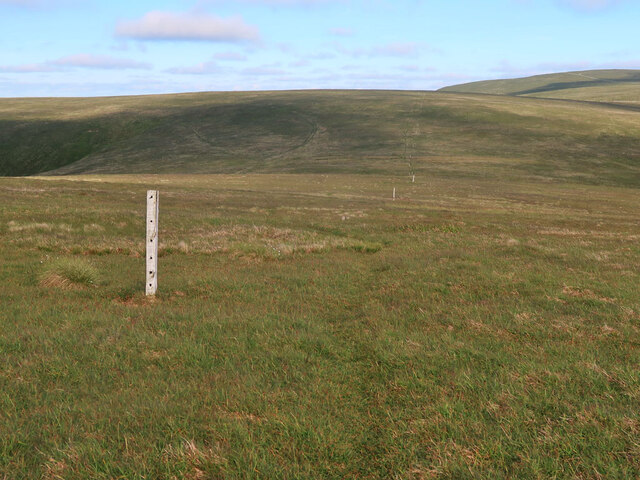
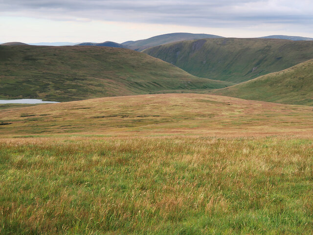
Cape Law, located in Peeblesshire, Scotland, is a prominent hill/mountain that offers breathtaking natural beauty and panoramic views of the surrounding landscape. Standing at an elevation of approximately 376 meters (1,235 feet), it is a popular destination for hikers, nature enthusiasts, and outdoor adventurers.
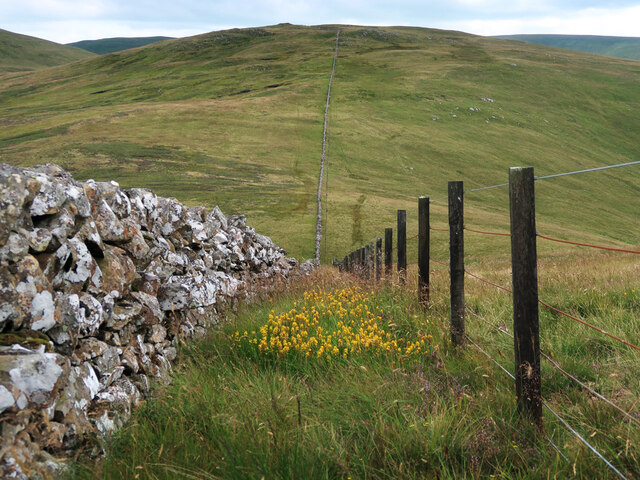
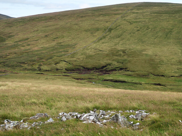
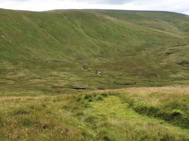
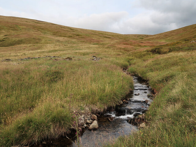
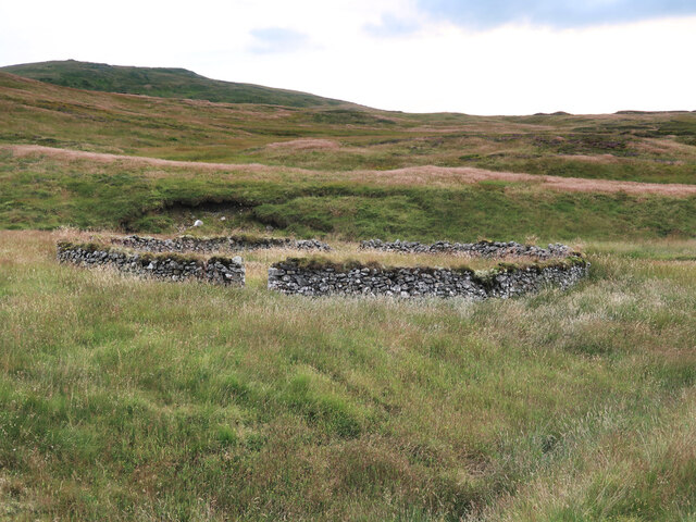
The hill/mountain is situated in the southern part of Peeblesshire, within close proximity to the picturesque town of Peebles. It is part of the larger Pentland Hills Range, which spans across several local authorities in Scotland. Cape Law is characterized by its rugged terrain, with steep slopes and rocky outcrops that add to its distinctive charm.
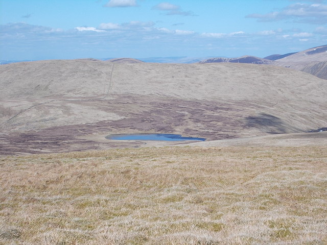
For those looking to explore Cape Law, there are several well-marked trails and paths that lead to its summit. The ascent may be challenging for some, but the reward is well worth it. On a clear day, visitors are treated to breathtaking vistas of the rolling hills, lush green valleys, and distant peaks in the distance.
The hill/mountain is also home to a diverse range of flora and fauna, including heather, ferns, and various bird species. Nature lovers can enjoy observing the local wildlife and taking in the peaceful ambiance of the surroundings.
With its natural beauty, Cape Law attracts not only hikers and outdoor enthusiasts but also photographers and artists seeking inspiration. The ever-changing colors of the landscape, especially during sunrise and sunset, provide a stunning backdrop for capturing the essence of this remarkable natural wonder.
In conclusion, Cape Law in Peeblesshire, Scotland, is a majestic hill/mountain that offers a memorable experience for those seeking to immerse themselves in the beauty of nature. Its stunning vistas, challenging trails, and diverse wildlife make it a must-visit attraction for anyone exploring the region.
If you have any feedback on the listing, please let us know in the comments section below.
Cape Law Images
Images are sourced within 2km of 55.421914/-3.3742139 or Grid Reference NT1315. Thanks to Geograph Open Source API. All images are credited.


Cape Law is located at Grid Ref: NT1315 (Lat: 55.421914, Lng: -3.3742139)
Unitary Authority: The Scottish Borders
Police Authority: The Lothians and Scottish Borders
What 3 Words
///flips.reverted.policy. Near Moffat, Dumfries & Galloway
Related Wikis

Moffat Hills
The Moffat Hills are a range of hills in the Southern Uplands of Scotland. They form a roughly triangular shape with a west facing side, a north facing...

Hart Fell
Hart Fell is a hill in the Moffat Hills range, part of the Southern Uplands of Scotland. It lies north of the town of Moffat on the border with the Scottish...

White Coomb
White Coomb is a hill in the Moffat Hills range, part of the Southern Uplands of Scotland. Its broad summit is the highest point in the range and the registration...

Loch Skeen
Loch Skeen or Loch Skene is a loch in Dumfries and Galloway in the south of Scotland. It is located about 10 miles to the north-east of Moffat and feeds...
Nearby Amenities
Located within 500m of 55.421914,-3.3742139Have you been to Cape Law?
Leave your review of Cape Law below (or comments, questions and feedback).