Broomy Side
Hill, Mountain in Peeblesshire
Scotland
Broomy Side
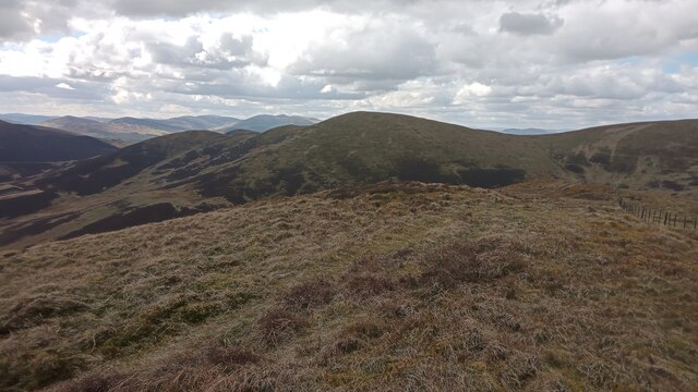
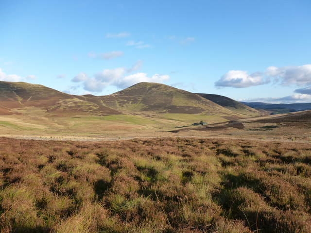
Broomy Side, located in Peeblesshire, is a prominent hill/mountain in the Scottish Borders region of Scotland. Standing at an elevation of approximately 400 meters (1,312 feet), it offers breathtaking panoramic views of the surrounding landscape. The hill is situated near the town of Peebles and lies within the wider Tweeddale area.
Covered in lush green vegetation, Broomy Side is a popular attraction for hikers and nature enthusiasts. Its gentle slopes and well-maintained trails make it accessible to both experienced climbers and casual walkers. The hill is known for its diverse flora and fauna, with an array of wildflowers, ferns, and mosses that flourish in its fertile soil.
At the summit of Broomy Side, visitors are rewarded with a magnificent vista that stretches across the Tweed Valley and the rolling hills beyond. On a clear day, one can even catch glimpses of the majestic Cairngorms National Park in the distance. The hill also offers an excellent vantage point for birdwatching, with sightings of buzzards, kestrels, and various songbirds being common.
Broomy Side is steeped in history, with traces of ancient settlements and archaeological sites scattered throughout its vicinity. The area is rich in cultural heritage, providing a glimpse into the lives of the people who once inhabited this rugged terrain.
Overall, Broomy Side in Peeblesshire offers a captivating blend of natural beauty, recreational opportunities, and historical significance. Whether it's a challenging hike or a leisurely stroll, a visit to Broomy Side is sure to leave visitors with lasting memories of this picturesque Scottish landscape.
If you have any feedback on the listing, please let us know in the comments section below.
Broomy Side Images
Images are sourced within 2km of 55.642813/-3.3887247 or Grid Reference NT1239. Thanks to Geograph Open Source API. All images are credited.


Broomy Side is located at Grid Ref: NT1239 (Lat: 55.642813, Lng: -3.3887247)
Unitary Authority: The Scottish Borders
Police Authority: The Lothians and Scottish Borders
What 3 Words
///sapping.avid.tastings. Near Biggar, South Lanarkshire
Nearby Locations
Related Wikis
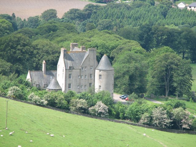
Broughton Place, Scottish Borders
Broughton Place is a historic house in the village of Broughton, Scottish Borders. It was designed by Basil Spence in the style of a 17th-century Scottish...
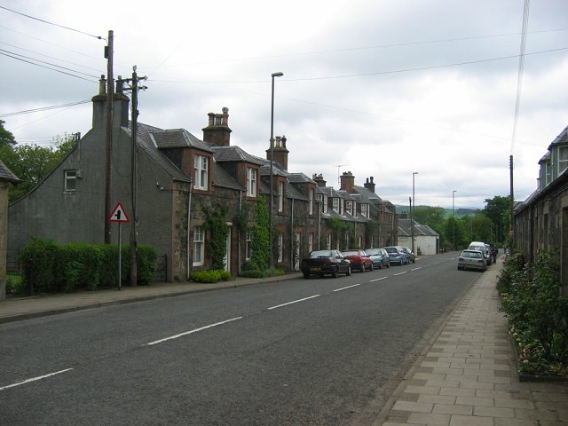
Broughton, Scottish Borders
Broughton is a village in Tweeddale in the historical county of Peeblesshire in the Scottish Borders council area, in the south of Scotland, in the civil...

Broughton railway station (Scotland)
Broughton railway station served the village of Broughton, Scottish Borders, Scotland from 1860 to 1950 on the Symington, Biggar and Broughton Railway...

Dreva on Tweed
Dreva on Tweed (or simply Dreva) is a hamlet in the Scottish Borders. It was historically in Peebles-shire. It is noted for the historical presence of...
Nearby Amenities
Located within 500m of 55.642813,-3.3887247Have you been to Broomy Side?
Leave your review of Broomy Side below (or comments, questions and feedback).