Green Law
Hill, Mountain in Peeblesshire
Scotland
Green Law
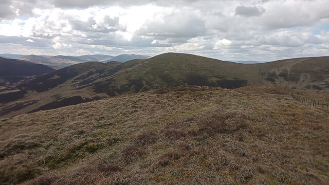
Green Law is a prominent hill located in Peeblesshire, Scotland. Situated in the Southern Uplands, it is part of the larger Moffat Hills range. Rising to an elevation of approximately 623 meters (2,043 feet), Green Law commands breathtaking views of the surrounding countryside.
The hill is composed primarily of sedimentary rocks, with its slopes covered in grasses, heather, and scattered shrubs. Its distinctively green appearance, particularly during the warmer months, gives it its name. Green Law is a popular destination for hikers, nature enthusiasts, and photographers, offering a variety of trails for different skill levels.
One of the more popular routes to the summit starts from the small village of Tweedsmuir, taking hikers through picturesque landscapes, including moorlands, woodlands, and small streams. As they ascend, visitors are treated to panoramic vistas of the surrounding hills, valleys, and the winding course of the Tweed River.
Wildlife is abundant on Green Law, with frequent sightings of birds such as grouse, curlews, and peregrine falcons. The hill is also home to a variety of smaller mammals, including rabbits, hares, and foxes. Rare plant species can also be found along its slopes, adding to its ecological significance.
Green Law's accessibility and natural beauty make it a popular destination for outdoor enthusiasts seeking a peaceful retreat amidst Scotland's stunning landscapes. Whether hiking, birdwatching, or simply enjoying the serene surroundings, visitors to Green Law are sure to be captivated by its charm and tranquility.
If you have any feedback on the listing, please let us know in the comments section below.
Green Law Images
Images are sourced within 2km of 55.649344/-3.3897028 or Grid Reference NT1240. Thanks to Geograph Open Source API. All images are credited.


Green Law is located at Grid Ref: NT1240 (Lat: 55.649344, Lng: -3.3897028)
Unitary Authority: The Scottish Borders
Police Authority: The Lothians and Scottish Borders
What 3 Words
///remains.prowl.angers. Near Biggar, South Lanarkshire
Nearby Locations
Related Wikis
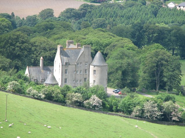
Broughton Place, Scottish Borders
Broughton Place is a historic house in the village of Broughton, Scottish Borders. It was designed by Basil Spence in the style of a 17th-century Scottish...

Kirkurd
Kirkurd is a parish in Peeblesshire in the Scottish Borders situated 3 miles south-east of Dolphinton and 6 miles north-east of Broughton. Tarth Water...
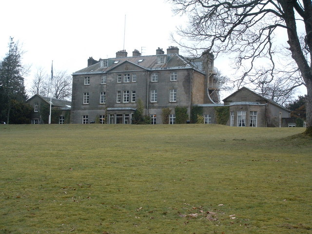
Castle Craig Hospital
Castle Craig Hospital is a private residential drug and alcohol rehabilitation clinic. It is located in Peeblesshire, Scotland. Castle Craig is an 18th...
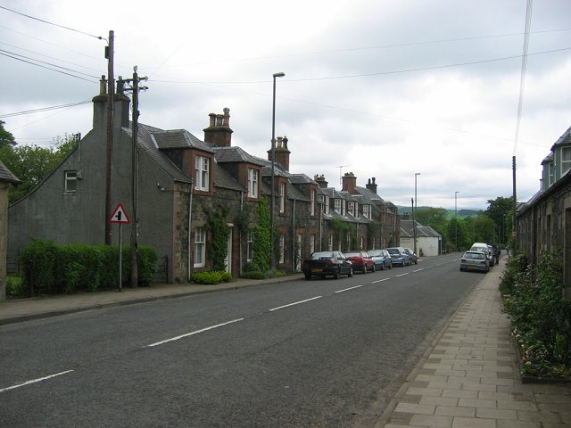
Broughton, Scottish Borders
Broughton is a village in Tweeddale in the historical county of Peeblesshire in the Scottish Borders council area, in the south of Scotland, in the civil...
Nearby Amenities
Located within 500m of 55.649344,-3.3897028Have you been to Green Law?
Leave your review of Green Law below (or comments, questions and feedback).