Beacon Hill
Hill, Mountain in Somerset Somerset West and Taunton
England
Beacon Hill
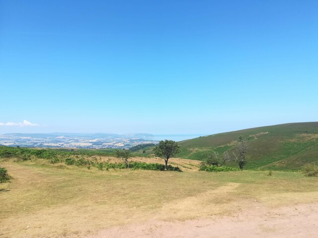
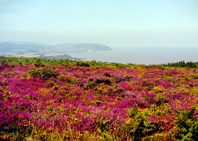
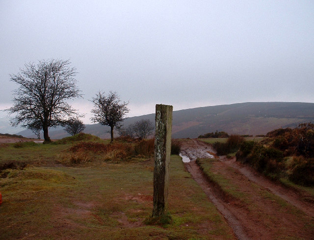
Beacon Hill is a prominent hill located in the county of Somerset, England. Standing at an elevation of approximately 259 meters (850 feet), it is one of the highest points in the area, offering stunning panoramic views of the surrounding countryside. Situated on the eastern edge of the Quantock Hills, Beacon Hill is a popular destination for nature enthusiasts, hikers, and walkers seeking to explore the beautiful Somerset landscape.
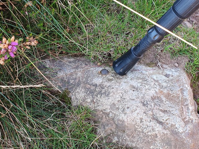
The hill derives its name from the fact that it was historically used as a beacon site, serving as a signal point to relay important messages or warnings. Today, the remnants of the beacon can still be seen, adding to the historical significance of the area.
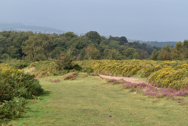
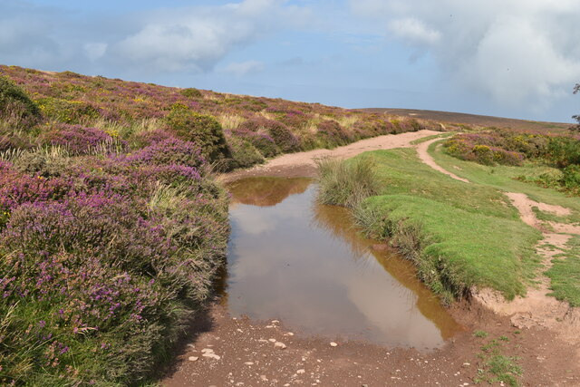
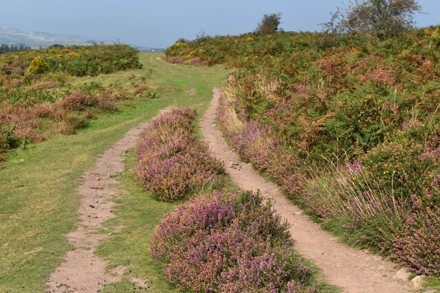
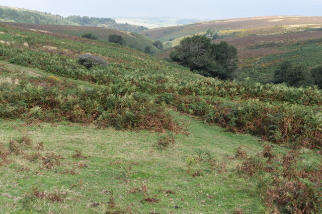
Beacon Hill is characterized by its diverse flora and fauna, boasting a variety of habitats including woodland, grassland, and heathland. Visitors can enjoy a picturesque walk through the well-maintained trails, taking in the breathtaking views and observing the rich wildlife that inhabits the area. The hill is home to a range of bird species, including buzzards, kestrels, and various songbirds, making it a haven for birdwatching enthusiasts.
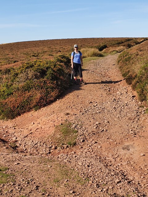
The hill is easily accessible, with designated parking areas and well-marked trails for visitors to follow. Additionally, there are information boards along the routes, providing interesting facts about the local history and the natural environment of Beacon Hill. Whether it's a leisurely stroll or a more challenging hike, Beacon Hill offers something for everyone, making it a must-visit destination for those seeking tranquility and natural beauty in Somerset.
If you have any feedback on the listing, please let us know in the comments section below.
Beacon Hill Images
Images are sourced within 2km of 51.161499/-3.2534073 or Grid Reference ST1240. Thanks to Geograph Open Source API. All images are credited.


Beacon Hill is located at Grid Ref: ST1240 (Lat: 51.161499, Lng: -3.2534073)
Administrative County: Somerset
District: Somerset West and Taunton
Police Authority: Avon and Somerset
What 3 Words
///consented.lizards.status. Near Williton, Somerset
Nearby Locations
Related Wikis

Church of St Etheldreda, West Quantoxhead
The Church of St Etheldreda, also known as the Church of St Audries, is a Church of England parish church in West Quantoxhead, Somerset, England. Designed...

West Quantoxhead
West Quantoxhead is a small village and civil parish in the Somerset West and Taunton district of Somerset, England. It lies on the route of the Coleridge...
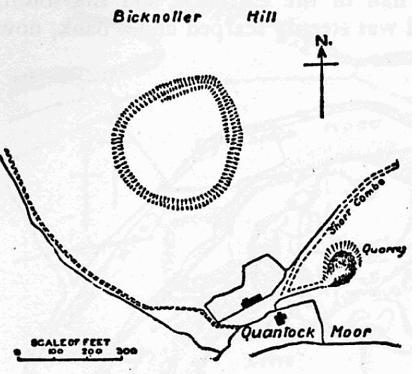
Trendle Ring
Trendle Ring (or Trundle Ring) is a late prehistoric earthwork on the Quantock Hills near Bicknoller in Somerset, England. It is a Scheduled Monument....

Bicknoller
Bicknoller is a village and civil parish on the western slopes of the Quantock Hills in the English county of Somerset. Administratively, the civil parish...

St Audries Park
St Audries Park Manor house at West Quantoxhead in the Quantock Hills of Somerset, England, was the manor house of the Acland family. It was rebuilt on...
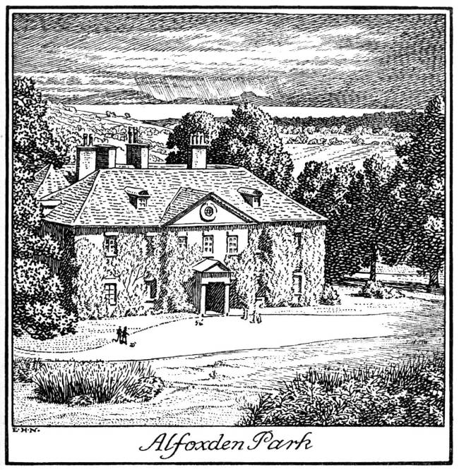
Alfoxton House
Alfoxton House, also known as Alfoxton Park or Alfoxden, is an 18th-century country house in Holford, Somerset, England, within the Quantock Hills Area...

Quantock Hills
The Quantock Hills west of Bridgwater in Somerset, England, consist of heathland, oak woodlands, ancient parklands and agricultural land. They were England...

East Quantoxhead
East Quantoxhead is a village in the district of Somerset West and Taunton, 3 miles (5 km) from West Quantoxhead, 4 miles (6 km) east of Williton, and...
Nearby Amenities
Located within 500m of 51.161499,-3.2534073Have you been to Beacon Hill?
Leave your review of Beacon Hill below (or comments, questions and feedback).