Bryn-oer Patch
Hill, Mountain in Monmouthshire
Wales
Bryn-oer Patch
Bryn-oer Patch, located in Monmouthshire, Wales, is a picturesque hill/mountain that offers breathtaking views and a serene environment. Standing at an elevation of approximately 480 meters, it is a popular destination for hikers, nature enthusiasts, and photographers.
The hill/mountain is covered in lush greenery, making it a haven for various species of plants and wildlife. The landscape is adorned with vibrant wildflowers during the spring and summer months, creating a stunning display of colors. It is also home to a diverse range of bird species, making it a perfect spot for birdwatchers.
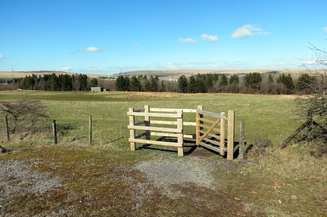
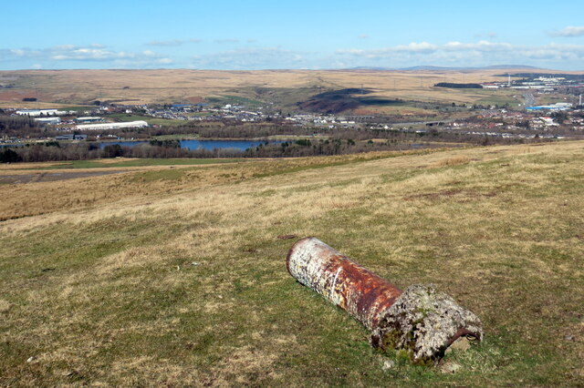
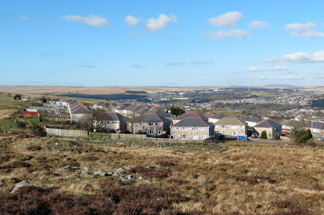
Bryn-oer Patch has several walking trails, catering to both beginners and experienced hikers. The trails wind through the hill/mountain, offering panoramic views of the surrounding countryside, including the rolling hills and valleys of Monmouthshire. On clear days, visitors can even catch a glimpse of the Bristol Channel and the distant Brecon Beacons National Park.
The hill/mountain is easily accessible, with a car park available for visitors. It is advisable to wear appropriate hiking gear, carry a map, and bring plenty of water and snacks, as there are no facilities or amenities on-site. Furthermore, it is crucial to respect the environment and adhere to any guidelines or restrictions to preserve the natural beauty of Bryn-oer Patch for future generations.
If you have any feedback on the listing, please let us know in the comments section below.
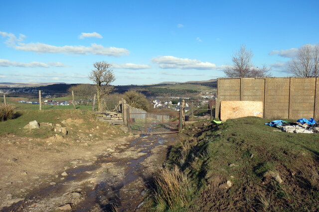
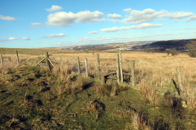
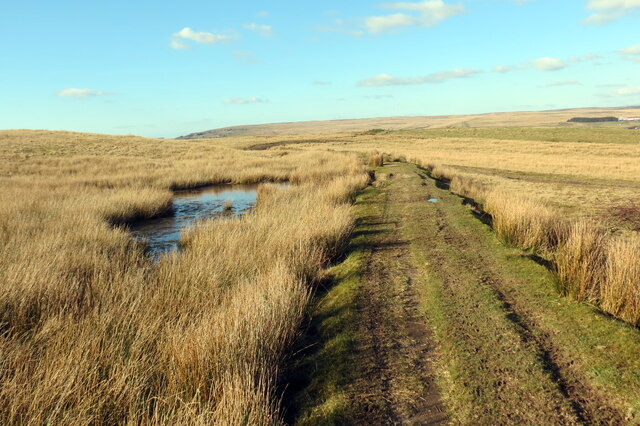
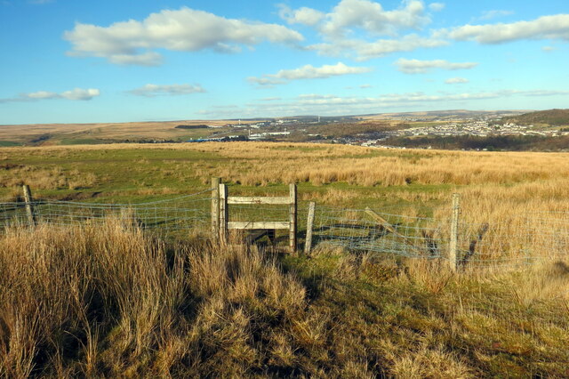
Bryn-oer Patch Images
Images are sourced within 2km of 51.776662/-3.274007 or Grid Reference SO1209. Thanks to Geograph Open Source API. All images are credited.
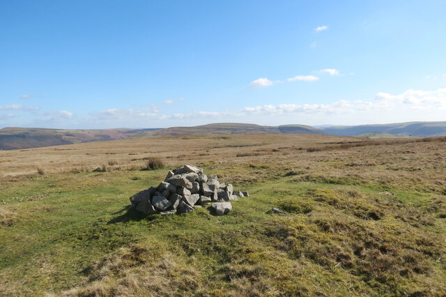
![Carn ar Fryn Rhymni / A cairn on Rhymney Hill Domen o gerrig, nod terfyn posibl, ar Fryn Rhymni. Yn y pellter mae Pownd Blaencarno.
A pile of stones, possibly a boundary marker, on Rhymney Hill. Blaencarno Pond (trans. source of the Carno [stream]) can be seen in the distance.](https://s3.geograph.org.uk/geophotos/07/12/18/7121883_9f2619b1.jpg)


Bryn-oer Patch is located at Grid Ref: SO1209 (Lat: 51.776662, Lng: -3.274007)
Unitary Authority: Caerphilly
Police Authority: Gwent
What 3 Words
///outsiders.prospered.hushed. Near Tredegar, Blaenau Gwent
Nearby Locations
Related Wikis

Tafarnaubach
Tafarnaubach is a village situated on the Sirhowy River in the county borough of Blaenau Gwent, in south-east Wales. Located within the historic boundaries...
Ashvale, Blaenau Gwent
Ashvale (Welsh: Pantygerdinen) is a village in Blaenau Gwent, south Wales (within the historic boundaries of Monmouthshire).

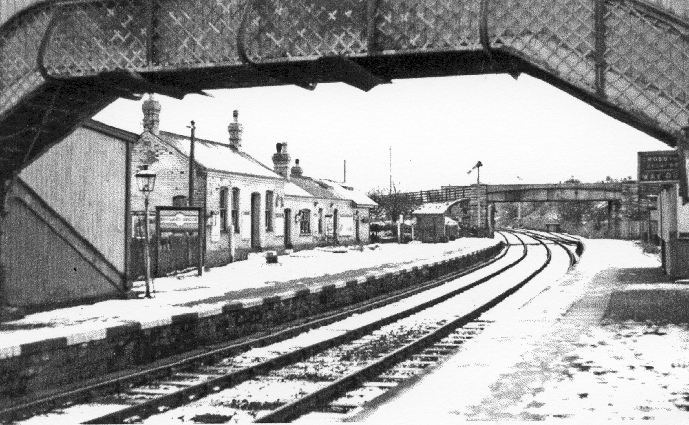
Nantybwch railway station
Nantybwch railway station was a station on the London and North Western Railway's Heads of the Valleys line serving the village of Nantybwch in the Welsh...
Rhymney Bridge railway station
Rhymney Bridge railway station was a station on the London and North Western Railway's Heads of the Valleys line serving the village of Llechrhyd in the...
Nearby Amenities
Located within 500m of 51.776662,-3.274007Have you been to Bryn-oer Patch?
Leave your review of Bryn-oer Patch below (or comments, questions and feedback).