Irton Pike
Hill, Mountain in Cumberland Copeland
England
Irton Pike
Irton Pike is a prominent hill located in the county of Cumberland, which is part of the larger region of Cumbria in northwest England. Situated near the village of Santon Bridge, Irton Pike is a well-known landmark that offers stunning panoramic views of the surrounding countryside.
With an elevation of approximately 434 meters (1,423 feet), Irton Pike is classified as a hill rather than a mountain. Nonetheless, its height and distinctive shape make it a prominent feature in the landscape. The hill is composed mainly of limestone, with patches of heather and grass covering its slopes.
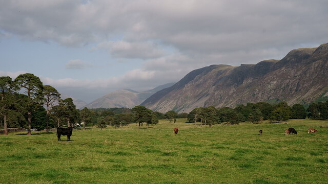
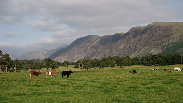
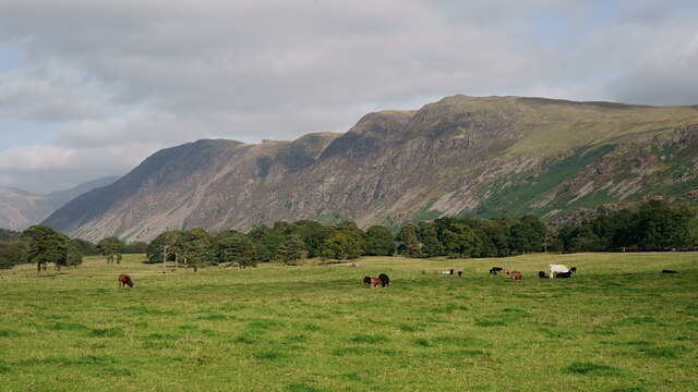
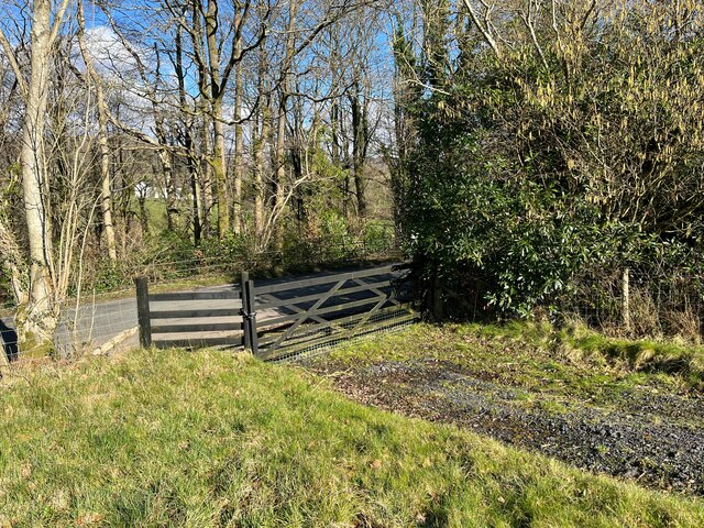
Access to Irton Pike is relatively straightforward, with several walking routes available for visitors to enjoy. The most popular approach is from the village of Santon Bridge, where a footpath leads up through fields and woodland to the summit. The ascent is moderately challenging, but the reward is the breathtaking view from the top, which encompasses the surrounding valleys, fells, and even the distant peaks of the Lake District National Park.
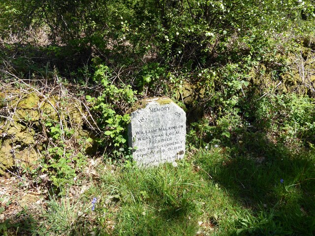
Irton Pike also holds historical significance, with remnants of an Iron Age hillfort visible on its summit. The fortifications, which consist of a circular earthwork and a small mound, provide evidence of human occupation in the area dating back thousands of years.
Overall, Irton Pike is a picturesque hill that attracts both locals and tourists alike, offering a combination of natural beauty, recreational opportunities, and a glimpse into the region's rich history.
If you have any feedback on the listing, please let us know in the comments section below.
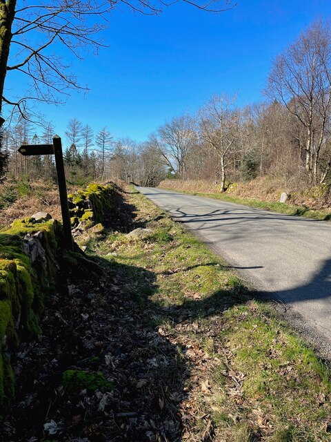
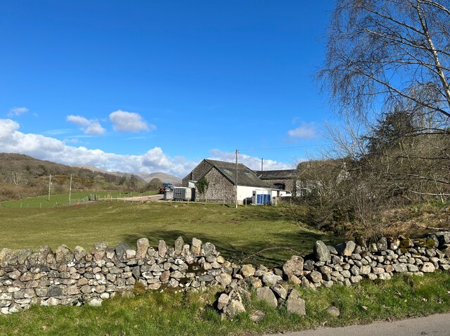
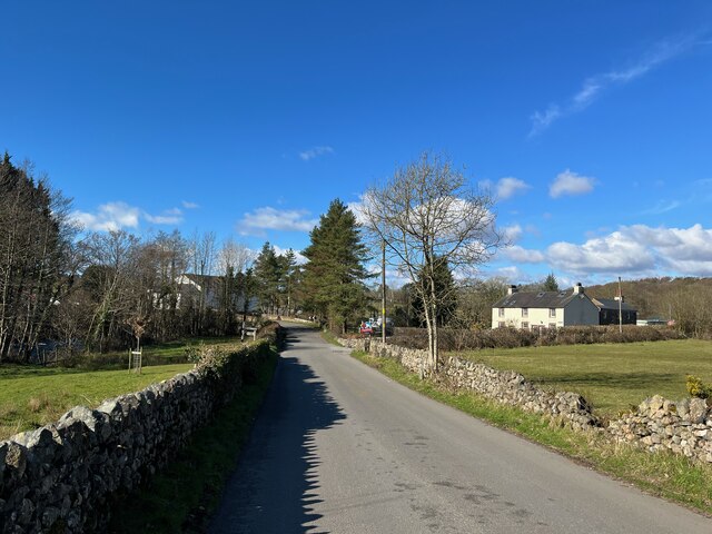
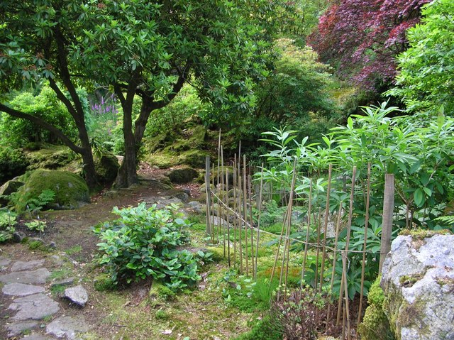
Irton Pike Images
Images are sourced within 2km of 54.402167/-3.355963 or Grid Reference NY1201. Thanks to Geograph Open Source API. All images are credited.


Irton Pike is located at Grid Ref: NY1201 (Lat: 54.402167, Lng: -3.355963)
Administrative County: Cumbria
District: Copeland
Police Authority: Cumbria
What 3 Words
///rockets.twitching.export. Near Seascale, Cumbria
Nearby Locations
Related Wikis


Nearby Amenities
Located within 500m of 54.402167,-3.355963Have you been to Irton Pike?
Leave your review of Irton Pike below (or comments, questions and feedback).