Buteland Hill

Hill, Mountain in Midlothian

Scotland

Buteland Hill

A newly ploughed field The field is between the A70 Lang Whang road and the Water of Leith.
A newly ploughed field Credit: Richard Webb

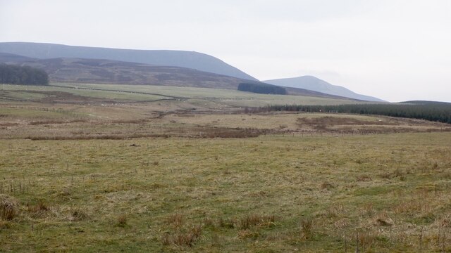
Buteland Hill is a prominent geographical feature located in Midlothian, Scotland. Situated in the southern part of the country, it is part of the larger Pentland Hills range. The hill is known for its picturesque landscape, rich natural beauty, and historical significance.

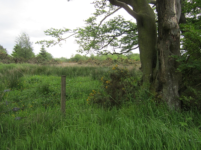
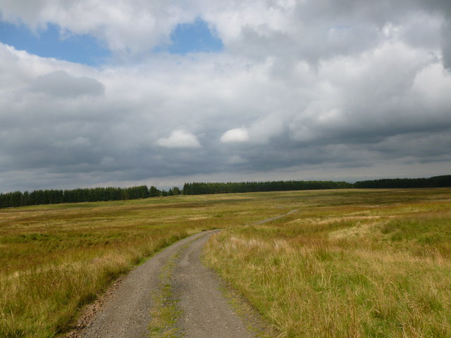
Rising to an elevation of approximately 522 meters (1,713 feet), Buteland Hill offers stunning panoramic views of the surrounding countryside. It is characterized by its gently rolling slopes, covered in a patchwork of heather, grasses, and occasional rocky outcrops. These diverse habitats support a variety of flora and fauna, making it a popular spot for nature enthusiasts and hikers.

The hill also holds historical importance, with remnants of ancient settlements and archaeological sites scattered throughout its terrain. These include traces of prehistoric settlements, such as burial cairns and Bronze Age forts, which provide a glimpse into the region's past.

Buteland Hill is easily accessible, with several walking trails and paths leading to its summit. A popular route starts from the nearby village of Auchendinny, offering visitors the opportunity to explore the hill's beauty while enjoying a leisurely hike. The hill's proximity to urban areas, including nearby Edinburgh, makes it a convenient destination for outdoor activities and a quick escape from city life.

Overall, Buteland Hill is a remarkable natural landmark in Midlothian, offering a combination of scenic beauty, historical significance, and recreational opportunities for locals and tourists alike.

If you have any feedback on the listing, please let us know in the comments section below.

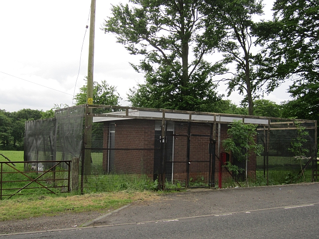
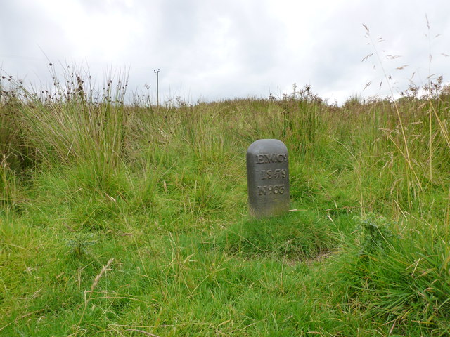
Buteland Hill Images

Images are sourced within 2km of 55.856487/-3.4065791 or Grid Reference NT1263. Thanks to Geograph Open Source API. All images are credited.

A newly ploughed field The field is between the A70 Lang Whang road and the Water of Leith.
A newly ploughed field
The field is between the A70 Lang Whang road and the Water of Leith.
Mystery building, Lang Whang A small windowless building with a substantial fence. There are several unexplained buildings along this road and I do know that there is a seismology station in the area.
Mystery building, Lang Whang
A small windowless building with a substantial fence. There are several unexplained buildings along this road and I do know that there is a seismology station in the area.
Lang Whang The Edinburgh Lanark road (A70).
Lang Whang
The Edinburgh Lanark road (A70).
Field, Ainville A dairy farm.
Field, Ainville
A dairy farm.
A70, Lang Whang The Edinburgh to Lanark Road.
A70, Lang Whang
The Edinburgh to Lanark Road.
Fox Covert A very wet woodland.
Fox Covert
A very wet woodland.
Fencing in progress New fence being built near Buteland. Templehill House in the background was built around 2005.
Fencing in progress
New fence being built near Buteland. Templehill House in the background was built around 2005.
Minor road, Buteland Descending towards the Water of Leith.
Minor road, Buteland
Descending towards the Water of Leith.
Moorland track near Listonshiels Part of an old route over the Pentlands from Carlops.
Moorland track near Listonshiels
Part of an old route over the Pentlands from Carlops.
Track to Listonshiels A long farm track which joins up with the Bore Stane track to Carlops.
Track to Listonshiels
A long farm track which joins up with the Bore Stane track to Carlops.
Edinburgh Water Company marker Dated 1859, this is sited next to a well beside the Listonshiels track.
Edinburgh Water Company marker
Dated 1859, this is sited next to a well beside the Listonshiels track.
Young plantation, Pentland Hills View from Auchinoon Hill towards young trees beside the Water of Leith.
Young plantation, Pentland Hills
View from Auchinoon Hill towards young trees beside the Water of Leith.
What is This?! I have to state that this is an artificial picture, as the curiosity on show was mostly buried before I arrived. The picture was taken on the site of an old quarry, denoted as working on an 1850s OS map, but an 'old quarry' by the 1890s. The base of whatever this is was visible, and looked a bit peculiar I thought, so I started to dig - the dig took a while! It is about seven foot high and seems to have remnants of metal wire in holes along its upper length, but since it has a properly constructed base I think it was designed to be portable. Fenceposts, after all, are designed to be driven into the ground, so this is not a fencepost. Whether it has anything to do with the quarry I have no idea, but being a romantic (very) amateur archaeologist I'm hoping it does!
What is This?!
I have to state that this is an artificial picture, as the curiosity on show was mostly buried before I arrived. The picture was taken on the site of an old quarry, denoted as working on an 1850s OS map, but an 'old quarry' by the 1890s. The base of whatever this is was visible, and looked a bit peculiar I thought, so I started to dig - the dig took a while! It is about seven foot high and seems to have remnants of metal wire in holes along its upper length, but since it has a properly constructed base I think it was designed to be portable. Fenceposts, after all, are designed to be driven into the ground, so this is not a fencepost. Whether it has anything to do with the quarry I have no idea, but being a romantic (very) amateur archaeologist I'm hoping it does!
Cock Burn Cock Burn is a small stoney burn that not too long from here flows into the Water of Leith. Cockburn is a relatively common surname in Scotland, and presumably always derives from some kind of chicken enterprise . However, in this case it appears that the burn derives from the surname of people nearby (who presumably got their name from some kind of chicken enterprise previously). The OS naming book, compiled to justify all spellings and detail any other interesting facts when the first OS maps of an area (here in 1853) were compiled, makes for amusing reading. (Personally I think that the OS should  legally be obliged to update these every 50 years or so as they make for fantastic reading).
In the OS naming book the two 'authorities' for the burn"s spelling both had the surname Cockburn. Judging by the OS guy's comments the nearby farm must have taken their surname too, as he pointedly mentions in his margin notes: "I could scarcely find any person in the vicinity that knew the stream to have a name". Anyway, they got their way, obviously to the annoyance of Mr Mapman, and it remains Cock Burn to this day!
Cock Burn
Cock Burn is a small stoney burn that not too long from here flows into the Water of Leith. Cockburn is a relatively common surname in Scotland, and presumably always derives from some kind of chicken enterprise . However, in this case it appears that the burn derives from the surname of people nearby (who presumably got their name from some kind of chicken enterprise previously). The OS naming book, compiled to justify all spellings and detail any other interesting facts when the first OS maps of an area (here in 1853) were compiled, makes for amusing reading. (Personally I think that the OS should legally be obliged to update these every 50 years or so as they make for fantastic reading). In the OS naming book the two 'authorities' for the burn"s spelling both had the surname Cockburn. Judging by the OS guy's comments the nearby farm must have taken their surname too, as he pointedly mentions in his margin notes: "I could scarcely find any person in the vicinity that knew the stream to have a name". Anyway, they got their way, obviously to the annoyance of Mr Mapman, and it remains Cock Burn to this day!
Grass field after recent hay crop With view to east end of Pentlands
Grass field after recent hay crop
With view to east end of Pentlands
Start of Thieves Road Heading to the Pentlands
Start of Thieves Road
Heading to the Pentlands
Rough grazing, Listonshiels View towards East and West Cairn Hills.
Rough grazing, Listonshiels
View towards East and West Cairn Hills.
Road from Listonshiels Dead straight through a strip wood.
Road from Listonshiels
Dead straight through a strip wood.
Show me another place!

Buteland Hill is located at Grid Ref: NT1263 (Lat: 55.856487, Lng: -3.4065791)

Unitary Authority: City of Edinburgh

Police Authority: Edinburgh

What 3 Words

///cleanser.airfields.hushed. Near Kirknewton, West Lothian

Nearby Locations

Buteland Hill

Related Wikis

Ritchie Camp

Ritchie Camp was a military base located near Kirknewton, West Lothian in Scotland. == History == Ritchie Camp was initially established during World War...

RAF Kirknewton

Royal Air Force Kirknewton, otherwise known as RAF Kirknewton, is a Royal Air Force station at Whitemoss, a mile south east of Kirknewton, West Lothian...

Harperrig Reservoir

Harperrig Reservoir is a reservoir in West Lothian, Scotland, to the north of the Pentland Hills, four miles (6.4 km) south of Mid Calder. The Water of...

Kirknewton, West Lothian

Kirknewton (Scots: Kirknewtoun, Scottish Gaelic: Eaglais a' Bhaile Ùir) is a village formerly in the county of Midlothian and, since 1975, in West Lothian...

Nearby Amenities

Located within 500m of 55.856487,-3.4065791
Design: three-level
Power: tower
Lat/Long: 55.8543089/-3.4083894
Design: three-level
Power: tower
Lat/Long: 55.8539284/-3.412647
Design: three-level
Power: tower
Lat/Long: 55.8547009/-3.4072974
Design: three-level
Power: tower
Lat/Long: 55.8559016/-3.4039524
Power: pole
Lat/Long: 55.8578432/-3.411137
Power: pole
Lat/Long: 55.8576553/-3.4124135
Power: pole
Lat/Long: 55.8580239/-3.4098925
Power: pole
Lat/Long: 55.8574777/-3.4136205
Power: pole
Lat/Long: 55.8582256/-3.4084709
Power: pole
Lat/Long: 55.8586624/-3.4054934
Power: pole
Lat/Long: 55.8584318/-3.407052
Power: pole
Lat/Long: 55.8588746/-3.4041818
Power: pole
Lat/Long: 55.8593155/-3.4016312
Power: pole
Lat/Long: 55.859168/-3.4024145
The data included in this document is from www.openstreetmap.org. The data is made available under ODbL.

Have you been to Buteland Hill?

Leave your review of Buteland Hill below (or comments, questions and feedback).