Herdus

Hill, Mountain in Cumberland Copeland

England

Herdus

Farm track at Whins On some maps this is shown as a public road. But it is signed 'Unsuitable for motor vehicles', and I would certainly not have risked my own car along here! Bridleway, for horses and walkers, fine - but I suspect that otherwise you would need a 4x4 to get along here. (This track emerges one square to the west, at NY088166.)
Farm track at Whins Credit: David Purchase

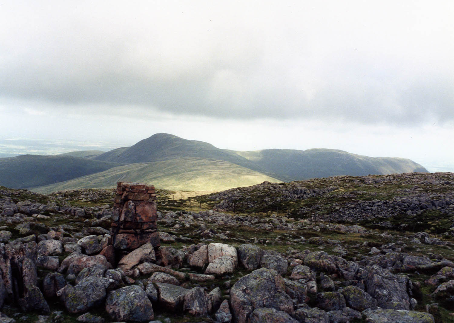
Herdus is a prominent hill located in the English county of Cumberland. Situated in the western part of the Lake District National Park, it forms part of the Caldbeck Fells range. The hill stands at an elevation of approximately 1,408 feet (429 meters) above sea level.

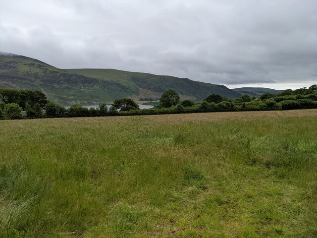
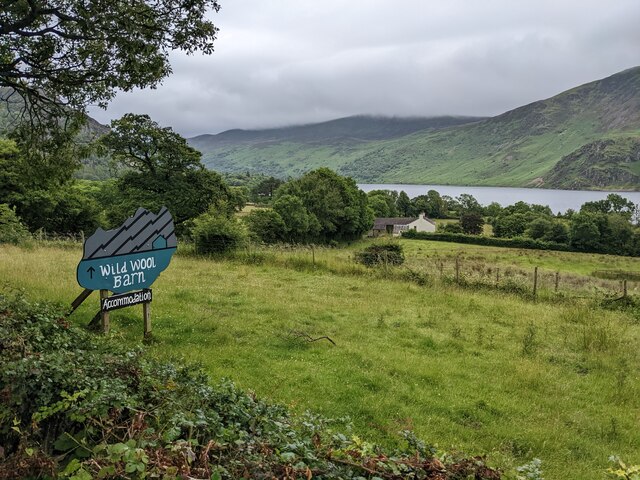
Herdus offers stunning panoramic views of the surrounding countryside and is a popular destination for hikers and nature enthusiasts. The ascent to the summit is relatively gentle, making it accessible to walkers of various abilities. The hill is often included in circular routes that incorporate neighboring peaks such as Knott and Great Calva.

The landscape surrounding Herdus is characterized by undulating valleys, heather moorland, and scattered rocky outcrops. The hill is predominantly composed of volcanic rocks, including andesite and basalt, which were formed during ancient volcanic activity in the region.

Wildlife is abundant in the area, and visitors to Herdus may have the opportunity to spot various bird species, including buzzards and peregrine falcons, as well as red deer and wild ponies. The hill also boasts a diverse range of plant life, including heather, bilberry, and cotton grass.

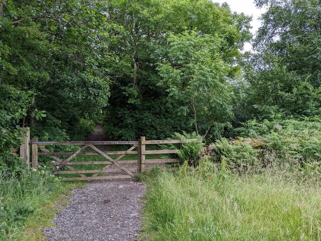
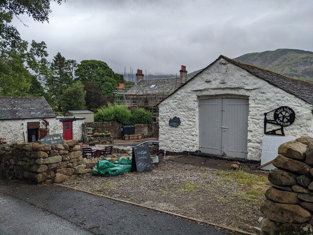
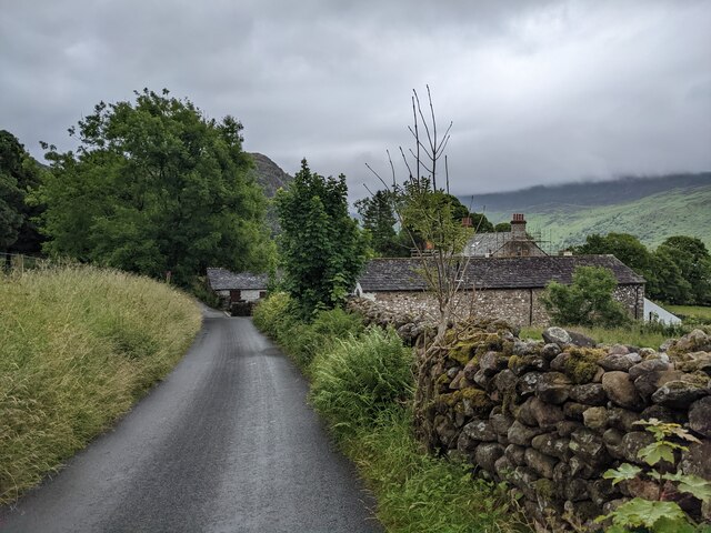
Herdus is easily accessible from various nearby towns and villages, with the village of Caldbeck being the closest. There are several footpaths and trails that lead to the summit, allowing visitors to explore this picturesque part of the Lake District.

If you have any feedback on the listing, please let us know in the comments section below.
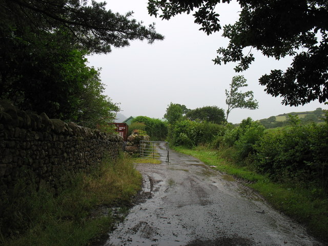
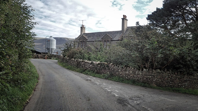
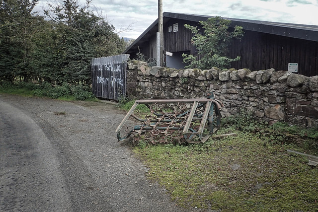
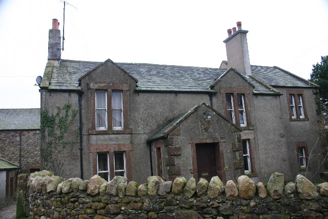
Herdus Images

Images are sourced within 2km of 54.534748/-3.3653939 or Grid Reference NY1116. Thanks to Geograph Open Source API. All images are credited.

Farm track at Whins On some maps this is shown as a public road. But it is signed 'Unsuitable for motor vehicles', and I would certainly not have risked my own car along here! Bridleway, for horses and walkers, fine - but I suspect that otherwise you would need a 4x4 to get along here. (This track emerges one square to the west, at NY088166.)
Farm track at Whins
On some maps this is shown as a public road. But it is signed 'Unsuitable for motor vehicles', and I would certainly not have risked my own car along here! Bridleway, for horses and walkers, fine - but I suspect that otherwise you would need a 4x4 to get along here. (This track emerges one square to the west, at NY088166.)
A field near Ennerdale Water
Minor road towards Croasdale
Whins Farm A solid, austere farmhouse.
Whins Farm
A solid, austere farmhouse.
Notices on Barn It's not hard to work out THIS farmer's pet hates. On a barn at Whins Farm
Notices on Barn
It's not hard to work out THIS farmer's pet hates. On a barn at Whins Farm
Lakeside footpath, Ennerdale
A division in the path Beckfoot straight on, Ennerdale Water to the right. Somebody has painted this information on the gate as it's clearly a point where people go wrong.
A division in the path
Beckfoot straight on, Ennerdale Water to the right. Somebody has painted this information on the gate as it's clearly a point where people go wrong.
A charming and well-made section of bridleway next to Ennerdale Water
A sign for Wild Wool Barn above Ennerdale Water
Wild Wool Barn and Workshop At Routen Farm.
Wild Wool Barn and Workshop
At Routen Farm.
The road near Routen Farm
Lakeside bridleway
Lakeside bridleway
Cottage at Bowness
Cottage at Bowness
Bowness cottage seen from the road
The gateway into the forest The warning of CCTV indicates that 'anti-social' behaviour may blight this area.
The gateway into the forest
The warning of CCTV indicates that 'anti-social' behaviour may blight this area.
Fields near the lake
Show me another place!

Herdus is located at Grid Ref: NY1116 (Lat: 54.534748, Lng: -3.3653939)

Administrative County: Cumbria

District: Copeland

Police Authority: Cumbria

What 3 Words

///treatment.galloping.tags. Near Frizington, Cumbria

Nearby Locations

Herdus

Related Wikis

Great Borne

Great Borne is a fell in the English Lake District with a height of 616 m (2,021 ft). It is a rather secluded hill situated at the western end of the long...
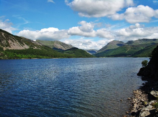
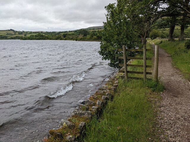
Ennerdale Water

Ennerdale Water is the most westerly lake in the Lake District National Park in Cumbria, England. It is a glacial lake, with a maximum depth of 150 feet...

Gavel Fell

Gavel Fell is a hill in the English Lake District. Centremost of the five Loweswater Fells in the western part of the District, it stands between Hen Comb...

Buttermere and Ennerdale

Buttermere and Ennerdale is a National Trust property located in the Lake District of Cumbria, England. The property comprises an area of 8,866 acres...

Nearby Amenities

Located within 500m of 54.534748,-3.3653939
Herdus
Place: locality
Lat/Long: 54.5350291/-3.3651606
Waterway: waterfall
Lat/Long: 54.532608/-3.3631721
The data included in this document is from www.openstreetmap.org. The data is made available under ODbL.

Have you been to Herdus?

Leave your review of Herdus below (or comments, questions and feedback).