Cefn Mawr
Hill, Mountain in Montgomeryshire
Wales
Cefn Mawr

Cefn Mawr is a prominent hill/mountain located in Montgomeryshire, Wales. It is situated in the southern part of the county, near the town of Llanymynech. Standing at an elevation of approximately 380 meters (1,250 feet), it offers stunning panoramic views of the surrounding countryside.
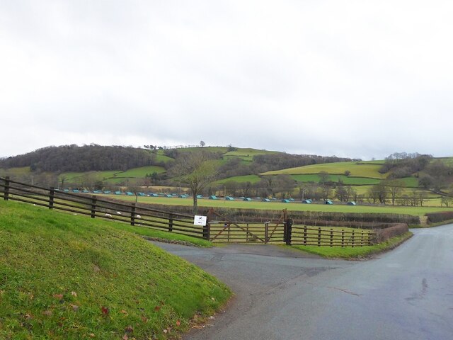
Cefn Mawr is known for its picturesque landscape, characterized by rolling hills, lush green fields, and abundant wildlife. The area is predominantly rural, with scattered farms and small villages dotting the countryside. The hill/mountain itself is covered in a mixture of grass, heather, and shrubs, providing a habitat for a variety of plant and animal species.
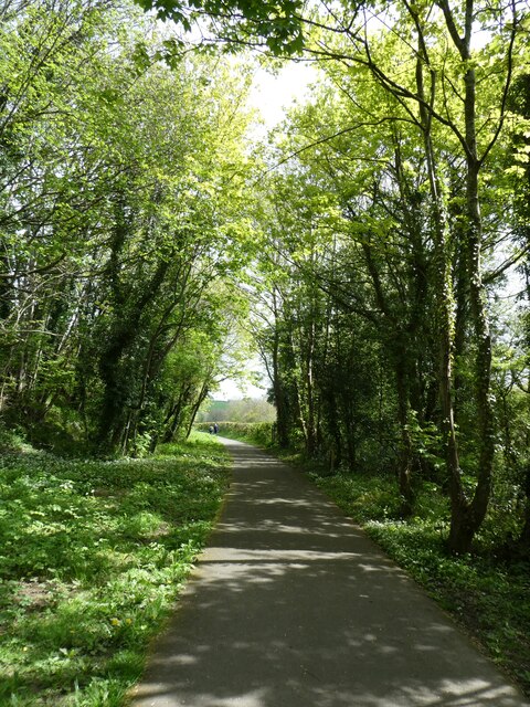
Hikers and nature enthusiasts often visit Cefn Mawr to enjoy its natural beauty and explore the numerous walking paths and trails that crisscross the area. The hill/mountain is accessible from several points, with car parking facilities available nearby. Some of the routes leading to the summit can be challenging, offering a rewarding experience for more experienced walkers.
At the top of Cefn Mawr, there is a trig point, providing a landmark for visitors and offering breathtaking views of the surrounding countryside, including the nearby Shropshire Hills Area of Outstanding Natural Beauty. On a clear day, it is even possible to see as far as the Snowdonia National Park in the distance.
Overall, Cefn Mawr is a beautiful and tranquil location, perfect for those seeking a peaceful escape in the heart of Montgomeryshire's stunning countryside.
If you have any feedback on the listing, please let us know in the comments section below.
Cefn Mawr Images
Images are sourced within 2km of 52.53735/-3.3032913 or Grid Reference SO1194. Thanks to Geograph Open Source API. All images are credited.


Cefn Mawr is located at Grid Ref: SO1194 (Lat: 52.53735, Lng: -3.3032913)
Unitary Authority: Powys
Police Authority: Dyfed Powys
What 3 Words
///otherwise.cooks.wordplay. Near Newtown, Powys
Related Wikis
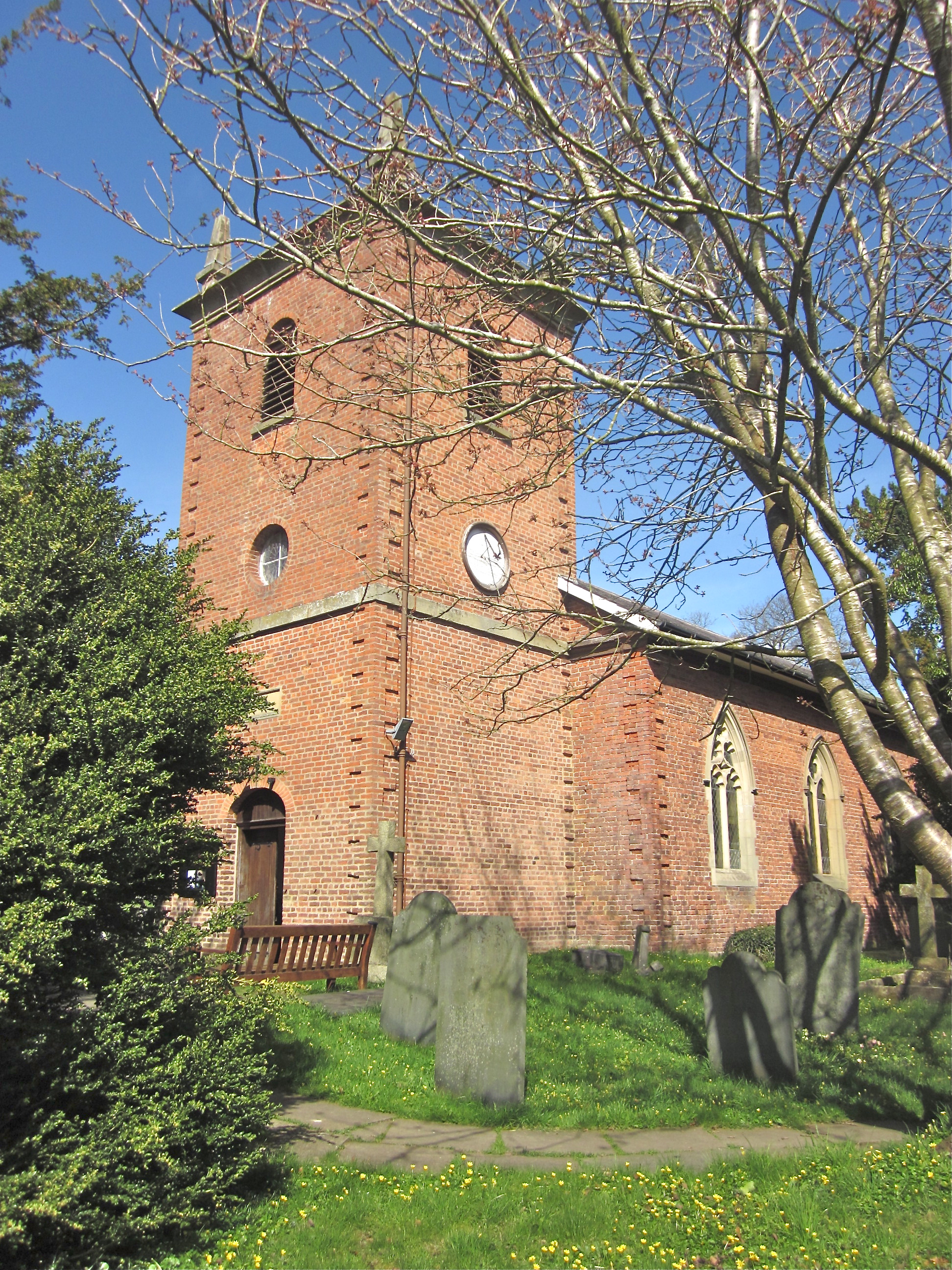
St Llwchaiarn's Church, Llanllwchaiarn
St Llwchaiarn's church, Llanllwchaiarn was the parish church of Llanllwchaiarn, now within the community of Newtown with Llanllwchaiarn and lies within...
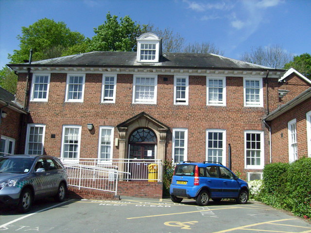
Montgomery County Infirmary
Montgomery County Infirmary (Welsh: Ysbyty Sir Drefaldwyn) is a health facility in Llanfair Road, Newtown, Powys, Wales. It is managed by the Powys Teaching...

Llanllwchaiarn
Llanllwchaiarn or Llanllwchaearn (Welsh: [ɬanɬuː′χaɨarn]) in Welsh) is a village on the outskirts of Newtown in Powys, Wales. It forms part of the community...

Newtown and Llanllwchaiarn
Newtown and Llanllwchaiarn (Welsh: Y Drenewydd a Llanllwchaearn) is a local government community in mid Powys, Wales. It includes the town of Newtown and...
Nearby Amenities
Located within 500m of 52.53735,-3.3032913Have you been to Cefn Mawr?
Leave your review of Cefn Mawr below (or comments, questions and feedback).