Burnbank Fell
Hill, Mountain in Cumberland Copeland
England
Burnbank Fell
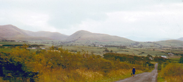
Burnbank Fell is a prominent hill located in the county of Cumberland, England. Situated in the western part of the Lake District National Park, it offers breathtaking views and is a popular destination among hikers and nature enthusiasts.
With an elevation of 475 meters (1,558 feet), Burnbank Fell is classified as a hill rather than a mountain. However, its position within the Lake District provides it with a commanding presence in the surrounding landscape. It is part of a chain of hills that includes the famous Skiddaw and Blencathra mountains, adding to its appeal.
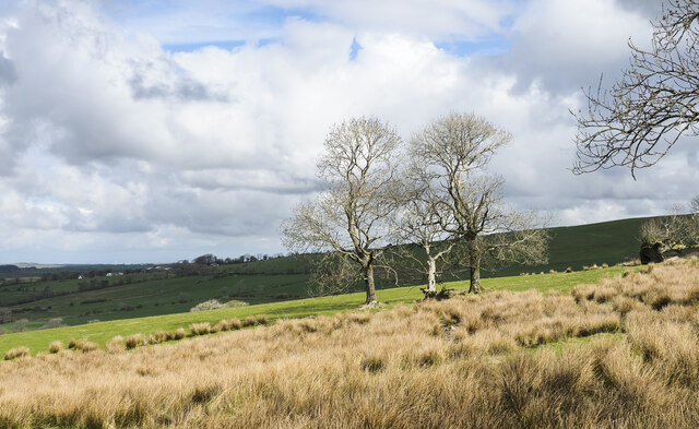
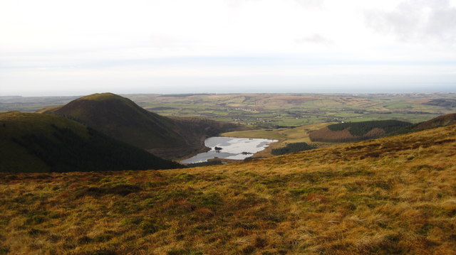
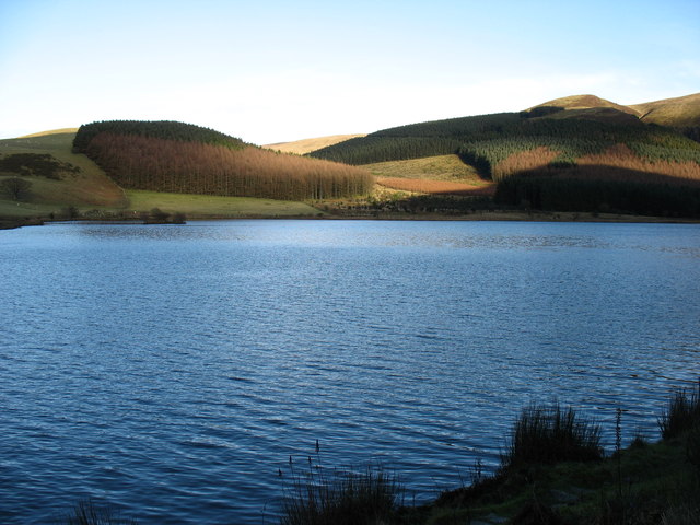
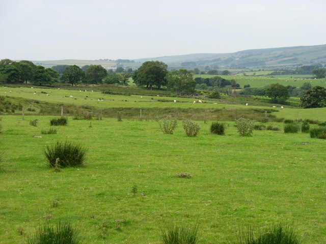
The hill is characterized by its gentle slopes, covered in a mix of grass and heather. It is relatively easy to ascend, making it accessible to walkers of various fitness levels. Burnbank Fell is often included in multi-peak hikes, allowing walkers to enjoy panoramic views of the surrounding valleys and nearby bodies of water, such as Bassenthwaite Lake.
Wildlife is abundant in the area, with the hill providing a habitat for various bird species, including buzzards and kestrels. It is also home to red squirrels, which are a rare sight in many parts of the country. The hill's diverse flora and fauna make it an ideal location for nature enthusiasts and photographers.
On a clear day, visitors can enjoy stunning views of the Lake District's iconic peaks, as well as the rolling green countryside that characterizes this region of England. With its accessibility and natural beauty, Burnbank Fell is a must-visit destination for those seeking a taste of the Lake District's charm and tranquility.
If you have any feedback on the listing, please let us know in the comments section below.
Burnbank Fell Images
Images are sourced within 2km of 54.575853/-3.3784023 or Grid Reference NY1020. Thanks to Geograph Open Source API. All images are credited.


Burnbank Fell is located at Grid Ref: NY1020 (Lat: 54.575853, Lng: -3.3784023)
Administrative County: Cumbria
District: Copeland
Police Authority: Cumbria
What 3 Words
///concerned.arriving.repay. Near Frizington, Cumbria
Nearby Locations
Related Wikis

Burnbank Fell
Burnbank Fell is a small hill in the west of the English Lake District. It is the most westerly of the Loweswater Fells, a group of low grassy hills just...

Blake Fell
Blake Fell is a hill in the Western part of the English Lake District. It is the highest point of the Loweswater Fells, an area of low grassy hills with...

Loweswater
Loweswater is one of the smaller lakes in the English Lake District. The village of Loweswater is situated to the east of the lake. == Geography == The...

Cogra Moss
Cogra Moss is a shallow reservoir to the east of the village of Lamplugh on the western edge of the English Lake District. It was created by the damming...
Nearby Amenities
Located within 500m of 54.575853,-3.3784023Have you been to Burnbank Fell?
Leave your review of Burnbank Fell below (or comments, questions and feedback).