Colin Hill

Hill, Mountain in Peeblesshire

Scotland

Colin Hill

Ruins of Over Menzion An old sheep farm surrounded by forest.
Ruins of Over Menzion Credit: wrobison

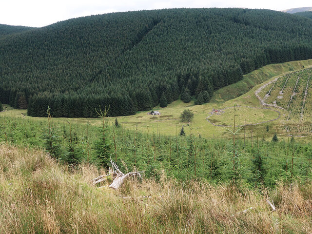
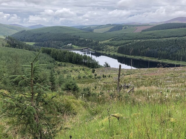
Colin Hill, located in Peeblesshire, Scotland, is a prominent hill with an elevation of approximately 744 meters (2,441 feet). It is part of the larger Southern Uplands mountain range, which extends across the southern region of Scotland. Offering breathtaking panoramic views of the surrounding area, Colin Hill attracts outdoor enthusiasts, hikers, and nature lovers alike.

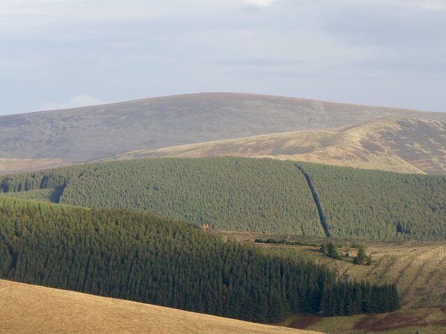
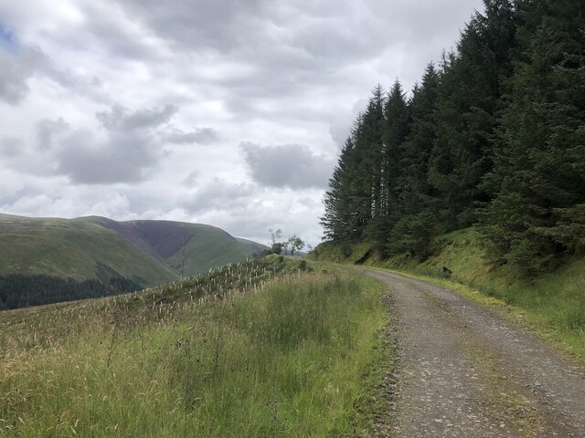
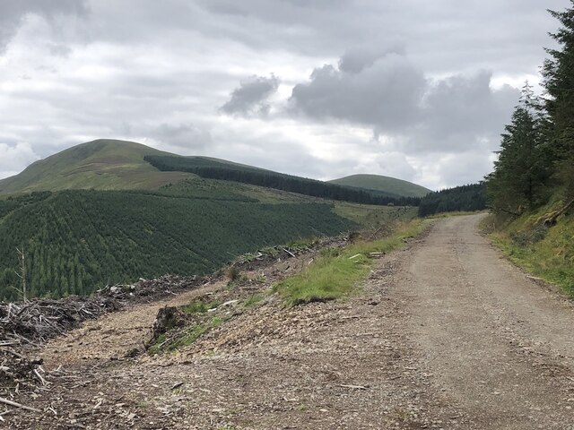
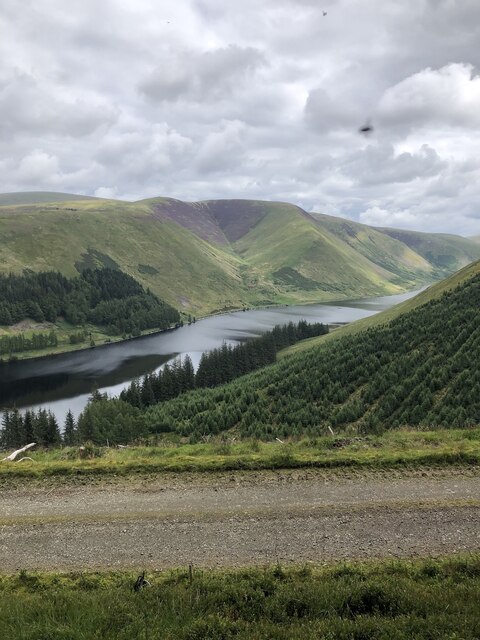
The hill is characterized by its gently sloping terrain, covered in heather and grasses, providing a picturesque landscape throughout the year. At its peak, visitors can enjoy stunning vistas of the rolling hills, valleys, and forests that define the Peeblesshire region. On clear days, views can extend as far as the Pentland Hills to the northwest and the Moffat Hills to the south.

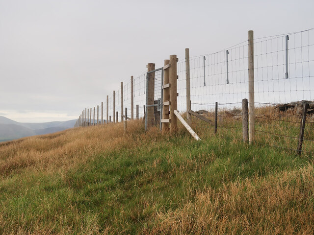
Access to Colin Hill is relatively straightforward, with several well-marked trails leading to the summit. The most popular route begins near the village of Eddleston, where a designated path takes hikers through scenic woodlands before ascending the hill. The climb is considered moderate in difficulty, making it accessible to a wide range of outdoor enthusiasts.

Despite its relatively modest height compared to other nearby mountains, Colin Hill offers a fantastic outdoor experience for individuals seeking a peaceful and rewarding hike. Its proximity to the charming town of Peebles, with its rich history and amenities, makes it a popular destination for both locals and tourists. Whether visitors are seeking a challenging trek or a tranquil escape in nature, Colin Hill is a must-visit destination in Peeblesshire, Scotland.

If you have any feedback on the listing, please let us know in the comments section below.
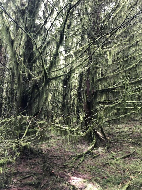
Colin Hill Images

Images are sourced within 2km of 55.471907/-3.4112003 or Grid Reference NT1020. Thanks to Geograph Open Source API. All images are credited.

Ruins of Over Menzion An old sheep farm surrounded by forest.
Ruins of Over Menzion
An old sheep farm surrounded by forest.
Young trees on Scaddow Knowes Looking across Laird's Cleuch from the Silver Jubilee Road.
Young trees on Scaddow Knowes
Looking across Laird's Cleuch from the Silver Jubilee Road.
Deer fence and gate near Garelet Hill trig point On the boundary of the Borders Forest Trust land
Deer fence and gate near Garelet Hill trig point
On the boundary of the Borders Forest Trust land
Bridge at Nether Rashy Cleuch Footpath and bridge at Nether Rashy Cleuch
Bridge at Nether Rashy Cleuch
Footpath and bridge at Nether Rashy Cleuch
Muckle Knowe and Broad Law The forested Muckle Knowe is between the Fruid and Talla Reservoirs with the 840m high Broad Law beyond.
Muckle Knowe and Broad Law
The forested Muckle Knowe is between the Fruid and Talla Reservoirs with the 840m high Broad Law beyond.
On the summit of Garelet Hill - Trig Point & view to Broad Law This trig point is severely eroded.
On the summit of Garelet Hill - Trig Point & view to Broad Law
This trig point is severely eroded.
Near the summit of Garelet Hill - view to Talla Reservoir Just a couple of hundred yards from the summit of Garelet Hill, this view opens out.
Near the summit of Garelet Hill - view to Talla Reservoir
Just a couple of hundred yards from the summit of Garelet Hill, this view opens out.
Talla Reservoir and Garelet Hill A day of flat calm. A wet Summer meant that the reservoir was full.
Talla Reservoir and Garelet Hill
A day of flat calm. A wet Summer meant that the reservoir was full.
Talla Reservoir and Garelet Hill The distant moorland is no longer grazed and will become a woodland.
Talla Reservoir and Garelet Hill
The distant moorland is no longer grazed and will become a woodland.
Clear felled area, Muckle Knowe
Upper Rashy Cleuch Young trees above the Talla Water.
Upper Rashy Cleuch
Young trees above the Talla Water.
Silver Jubilee Road, Muckle Knowe The loop road around the Menzion Burn. Darkness on the far hill is a patch of blooming heather.
Silver Jubilee Road, Muckle Knowe
The loop road around the Menzion Burn. Darkness on the far hill is a patch of blooming heather.
Talla Reservoir and Talla Cleuch Head Recently revealed view from the Silver Jubilee Road on Muckle Knowe.
Talla Reservoir and Talla Cleuch Head
Recently revealed view from the Silver Jubilee Road on Muckle Knowe.
Silver Jubilee Road, Muckle Knowelee View towards Garelet Hill.
Silver Jubilee Road, Muckle Knowelee
View towards Garelet Hill.
Ride, Muckle Knowe Very wet underfoot.
Ride, Muckle Knowe
Very wet underfoot.
Inside the plantation, Muckle Knowe 1970s planted spruce covered in moss as is common in the higher parts of plantations.
Inside the plantation, Muckle Knowe
1970s planted spruce covered in moss as is common in the higher parts of plantations.
Summit area, Muckle Knowe The clearing is overexposed so gives no impression of how the bright green looked from the dark interior of the plantation.  Movement through the trees here was easy at this time.
Summit area, Muckle Knowe
The clearing is overexposed so gives no impression of how the bright green looked from the dark interior of the plantation. Movement through the trees here was easy at this time.
Silver Jubilee Road, Muckle Knowe At this stage of the forestry cycle the loop road gives very fine views of Talla Reservoir.  The heather is out on Talla Cleuch Head.
Silver Jubilee Road, Muckle Knowe
At this stage of the forestry cycle the loop road gives very fine views of Talla Reservoir. The heather is out on Talla Cleuch Head.
Show me another place!

Colin Hill is located at Grid Ref: NT1020 (Lat: 55.471907, Lng: -3.4112003)

Unitary Authority: The Scottish Borders

Police Authority: The Lothians and Scottish Borders

What 3 Words

///agreeable.both.wounds. Near Moffat, Dumfries & Galloway

Nearby Locations

Colin Hill

Related Wikis

Talla Reservoir

Talla Reservoir, located a mile from Tweedsmuir, Scottish Borders, Scotland, is an earth-work dam fed by Talla Water. The reservoir is supplemented by...

Fruid Reservoir

Fruid is a small reservoir in the Scottish Borders area of Scotland, UK, near Menzion. It is formed by damming the Fruid Water, and supplements the contents...

Victoria Lodge railway station

Victoria Lodge railway station served the village of Tweedsmuir, Scottish Borders, Scotland from 1897 to 1905 on the Symington, Biggar and Broughton Railway...

Talla Water

Talla Water is a river in the Scottish Borders area of Scotland, near Tweedsmuir. It feeds the Talla Reservoir, and is a tributary of the River Tweed....

Have you been to Colin Hill?

Leave your review of Colin Hill below (or comments, questions and feedback).