Annan Hill
Hill, Mountain in Dumfriesshire
Scotland
Annan Hill

Annan Hill is a prominent hill located in the region of Dumfriesshire, Scotland. Standing at an elevation of approximately 266 meters (873 feet), it is a well-known landmark in the area. The hill is situated near the town of Annan, offering stunning panoramic views of the surrounding countryside.
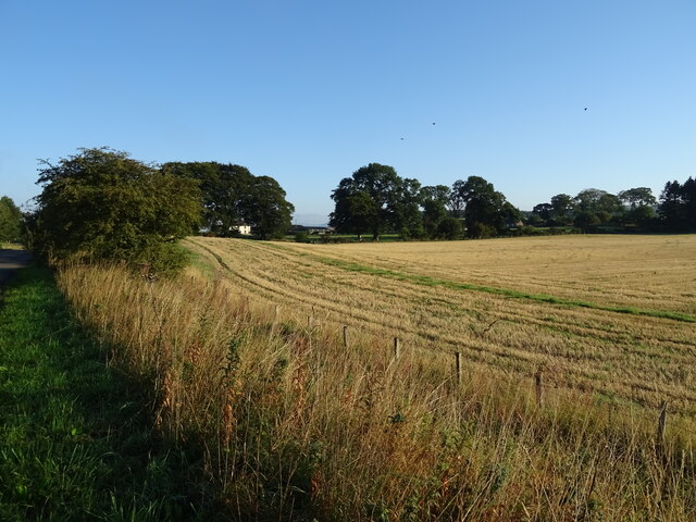
Covered in a patchwork of lush green fields, Annan Hill is an idyllic location for nature enthusiasts. It is home to a diverse range of flora and fauna, attracting hikers and wildlife enthusiasts alike. The hill is also a popular spot for birdwatching, with various species of birds found in the area.
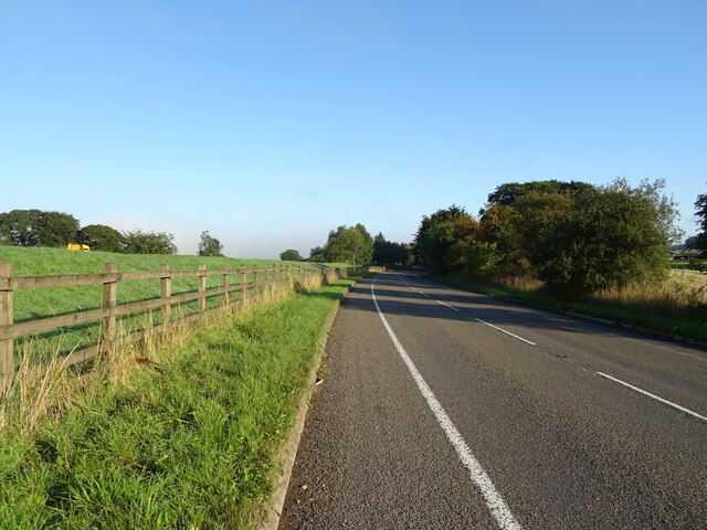
Accessible trails and footpaths wind their way up the hill, providing visitors with the opportunity to explore and appreciate the natural beauty of the region. The ascent is relatively gentle, making it suitable for individuals of all fitness levels. Along the way, walkers may come across historic features such as ancient ruins or standing stones, adding an extra layer of intrigue to their journey.
At the summit of Annan Hill, visitors are rewarded with breathtaking views. On a clear day, one can see as far as the Solway Firth and the rolling hills of the Scottish Borders. The hilltop provides an ideal location for picnics, allowing visitors to relax while taking in the picturesque scenery.
Annan Hill is a cherished natural landmark in Dumfriesshire, offering a peaceful retreat and a chance to connect with the beauty of the Scottish countryside.
If you have any feedback on the listing, please let us know in the comments section below.
Annan Hill Images
Images are sourced within 2km of 55.163029/-3.4016498 or Grid Reference NY1086. Thanks to Geograph Open Source API. All images are credited.


Annan Hill is located at Grid Ref: NY1086 (Lat: 55.163029, Lng: -3.4016498)
Unitary Authority: Dumfries and Galloway
Police Authority: Dumfries and Galloway
What 3 Words
///drags.pumps.snails. Near Lochmaben, Dumfries & Galloway
Nearby Locations
Related Wikis
Millhousebridge
Millhousebridge (Scottish Gaelic: Drochaid a' Mhuilinn) is a village in Dumfries and Galloway, Scotland. == References ==

Nethercleugh railway station
Nethercleugh railway station was a station which served the rural area around Nethercleugh and the estate of Jardine Hall, 3 miles north of Lockerbie in...

Steven's Croft power station
Steven's Croft is a wood-fired power station near Lockerbie in Scotland. It started energy production in 2008. It is operated by E.ON and produces 44 MW...

Annandale Way
The Annandale Way is a 90-kilometre (56 mi) hiking trail in Scotland, which is officially designated by NatureScot as one of Scotland's Great Trails. It...
Nearby Amenities
Located within 500m of 55.163029,-3.4016498Have you been to Annan Hill?
Leave your review of Annan Hill below (or comments, questions and feedback).