Achlibster Hill
Hill, Mountain in Caithness
Scotland
Achlibster Hill
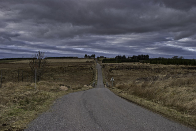
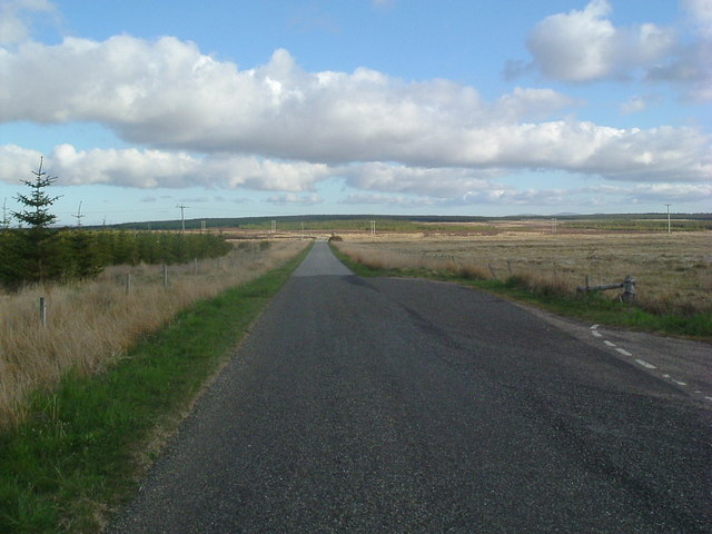
Achlibster Hill is a prominent landmark located in the county of Caithness, in the northernmost part of Scotland. Rising to an elevation of approximately 417 meters (1,368 feet), it is classified as a hill rather than a mountain. The hill is situated near the village of Achlibster, which lies about 6 kilometers (3.7 miles) southeast of the town of Wick.
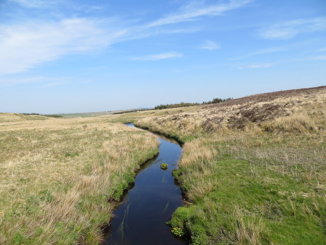
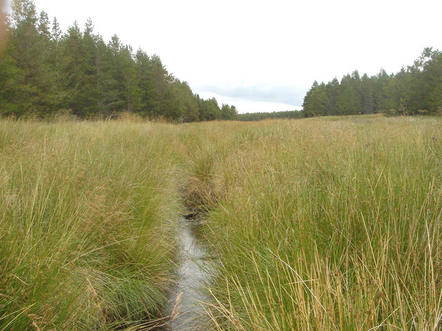
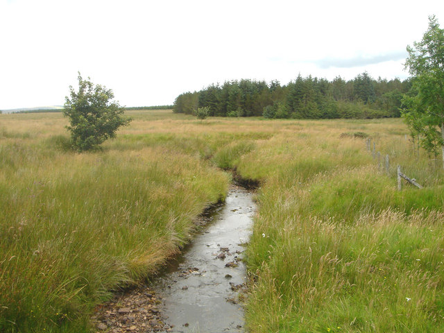
Achlibster Hill boasts a gently sloping landscape, covered in a mixture of heather, grasses, and shrubs. This vegetation provides a natural habitat for a variety of wildlife species, including birds, rabbits, and deer. The hill is particularly picturesque in spring and summer when the wildflowers are in full bloom, creating a colorful and vibrant atmosphere.
From the summit of Achlibster Hill, visitors can enjoy breathtaking panoramic views of the surrounding Caithness countryside. On clear days, the views stretch out towards the North Sea to the east, while the rolling hills and moorlands of the interior can be observed to the west. The hill's location also makes it an ideal spot for stargazing, as it is far away from light pollution, allowing for clear views of the night sky.
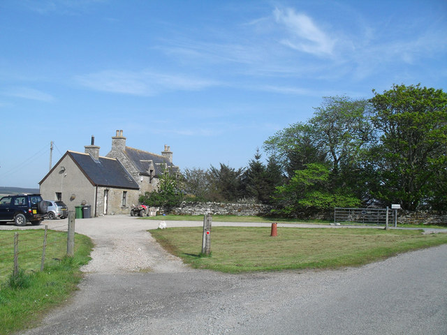
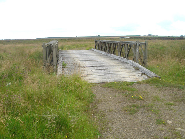
Achlibster Hill attracts both locals and tourists alike, who come to explore the tranquil surroundings and take advantage of the numerous walking and hiking trails that crisscross the area. With its natural beauty and peaceful atmosphere, Achlibster Hill offers a serene escape from the hustle and bustle of daily life.
If you have any feedback on the listing, please let us know in the comments section below.
Achlibster Hill Images
Images are sourced within 2km of 58.445199/-3.5342453 or Grid Reference ND1051. Thanks to Geograph Open Source API. All images are credited.


Achlibster Hill is located at Grid Ref: ND1051 (Lat: 58.445199, Lng: -3.5342453)
Unitary Authority: Highland
Police Authority: Highlands and Islands
What 3 Words
///formless.hamster.control. Near Halkirk, Highland
Nearby Locations
Related Wikis
Westerdale, Highland
Westerdale (Scottish Gaelic: An Dail Shuas) is a scattered crofting village which lies on the River Thurso, located five miles (eight kilometres) directly...

Olgrinmore
Olgrinmore is a small area in Halkirk, Northern Scotland, south of Thurso and John o' Groats. The B870 runs directly through the centre with Scotscalder...

Tormsdale
Tormsdale is a megalithic site on the banks of the River Thurso, in Caithness, Scotland. It is 3 kilometres (1.9 mi) south of Westerdale. The site consists...

Caithness
Caithness (Scottish Gaelic: Gallaibh [ˈkal̪ˠɪv]; Scots: Caitnes; Old Norse: Katanes) is a historic county, registration county and lieutenancy area of...
Scotscalder
Scots Calder is an area within Halkirk, Northern Scotland. It is served by Scotscalder railway station which is operated by ScotRail. The B870 runs directly...

Scotscalder railway station
Scotscalder railway station is a railway station located in the Highland council area in the far north of Scotland. It serves several rural hamlets in...

Battle of Harpsdale
The Battle of Harpsdale (Battle of Achardale, Battle of Harpasdal) was a Scottish clan battle fought in 1426 at Achardale, about 8 miles (13 km) south...
Dorrery
Dorrery is a small hamlet lying to the east of Ben Dorrery in the district of Halkirk in Caithness, Scottish Highlands and is in the Scottish council...
Have you been to Achlibster Hill?
Leave your review of Achlibster Hill below (or comments, questions and feedback).