Horton
Settlement in Staffordshire Staffordshire Moorlands
England
Horton
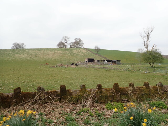
Horton is a small village located in the county of Staffordshire, England. It is situated approximately 4 miles south of the town of Leek and lies within the Staffordshire Moorlands district. The village is nestled within a rural landscape, surrounded by picturesque countryside and rolling hills.
Horton is a close-knit community with a population of around 500 residents. The village is known for its tranquil atmosphere and has retained its traditional charm over the years. It features a mix of old stone cottages and more modern homes, creating a pleasant blend of architectural styles.
The village has a few amenities to cater to the needs of its residents, including a village hall, a primary school, and a local pub. The community spirit is strong, and various events and activities are organized throughout the year, fostering a sense of togetherness among the villagers.
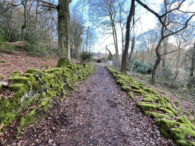
The surrounding area offers plenty of opportunities for outdoor enthusiasts, with numerous walking trails and scenic spots to explore. Horton is also within close proximity to the Peak District National Park, providing easy access to further outdoor pursuits, such as hiking, cycling, and rock climbing.
Despite its small size, Horton is well-connected to neighboring towns and cities. The nearby town of Leek offers a wider range of amenities, including supermarkets, shops, and leisure facilities. Additionally, the village benefits from good road links, with the A523 providing easy access to Stoke-on-Trent and Macclesfield.
Overall, Horton offers a peaceful and idyllic lifestyle, making it an attractive place to live for those seeking a rural retreat within the beautiful Staffordshire countryside.
If you have any feedback on the listing, please let us know in the comments section below.
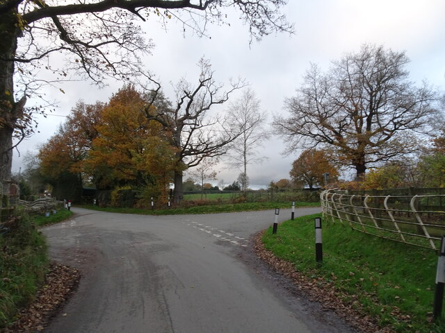
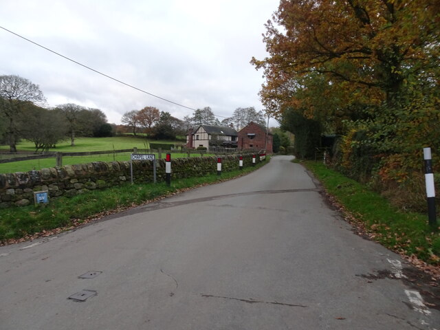
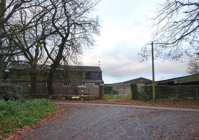
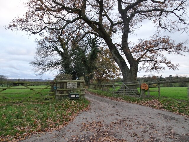
Horton Images
Images are sourced within 2km of 53.113614/-2.0899408 or Grid Reference SJ9457. Thanks to Geograph Open Source API. All images are credited.


Horton is located at Grid Ref: SJ9457 (Lat: 53.113614, Lng: -2.0899408)
Administrative County: Staffordshire
District: Staffordshire Moorlands
Police Authority: Staffordshire
What 3 Words
///smiling.grandest.extreme. Near Leek, Staffordshire
Nearby Locations
Related Wikis
Horton, Staffordshire
Horton is a village and civil parish in the English county of Staffordshire. The population of the civil parish as taken at the 2011 census was 781. It...

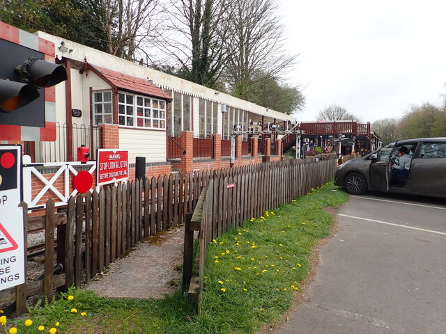
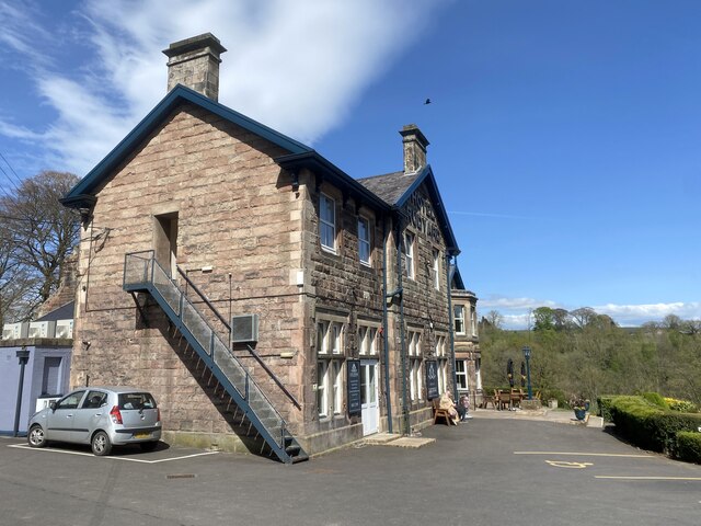
Rudyard railway station
Rudyard railway station served Rudyard, Staffordshire and was opened by the North Staffordshire Railway (NSR) in 1850 on the Churnet Valley line. In the...

Rudyard, Staffordshire
Rudyard is a lakeside village in the county of Staffordshire, England, west of Leek and on the shore of Rudyard Lake. Population details as taken at the...

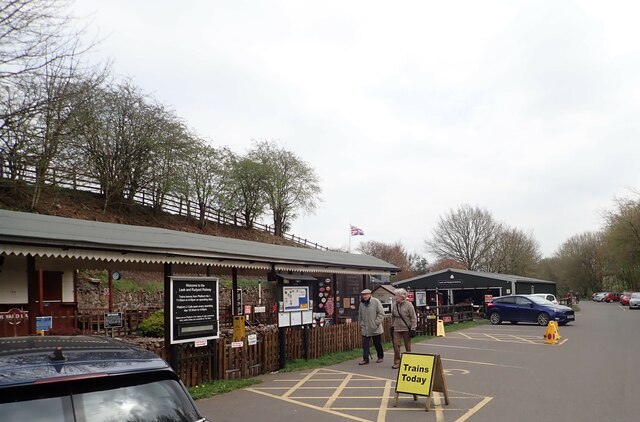
Rudyard Lake Steam Railway
The Rudyard Lake Steam Railway is a ridable miniature railway and the third railway of any gauge to run along the side of Rudyard Lake in Staffordshire...

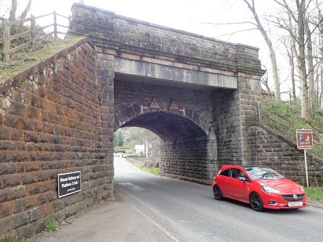
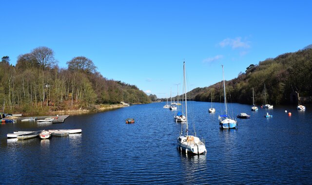
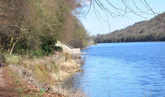
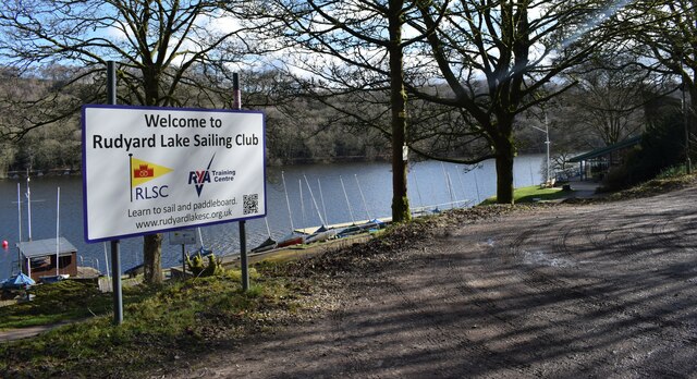
Rudyard Lake
Rudyard Lake is a reservoir in Rudyard, Staffordshire, located north-west of the town of Leek, Staffordshire. It was constructed in the late 18th century...
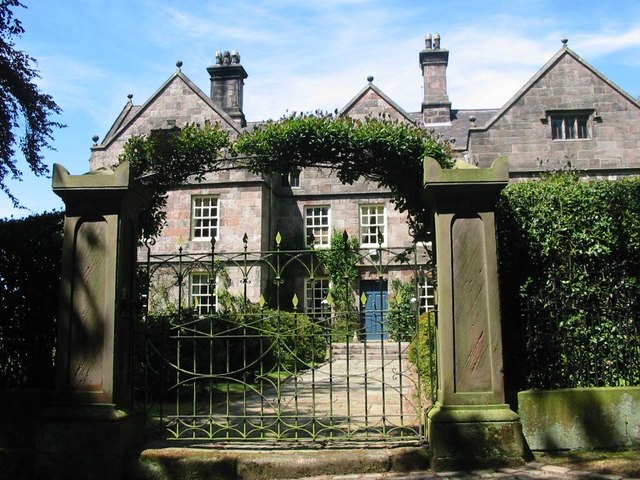
Cliffe Park Hall
Cliffe Park Hall is a country house near Rudyard in Staffordshire, England. During its 200-year history, it has been a private residence, a golf club...

Westwood College, Leek
Westwood College, formerly known as Westwood High School is a mixed upper school located in Leek, Staffordshire, England. Westwood is set in the grounds...
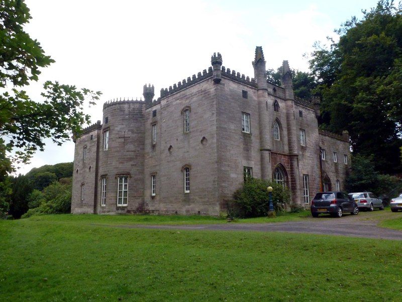
Westwood Hall
Westwood Hall is a former stately home in Leek, Staffordshire, England. It is a Grade II listed building. It has been a school since 1921, and is now Westwood...
Nearby Amenities
Located within 500m of 53.113614,-2.0899408Have you been to Horton?
Leave your review of Horton below (or comments, questions and feedback).