Blakehope Head

Hill, Mountain in Peeblesshire

Scotland

Blakehope Head

Glencotho in Glen Holm The rightmost building is roadside kennels, with very alert dogs.
Glencotho in Glen Holm Credit: M J Richardson

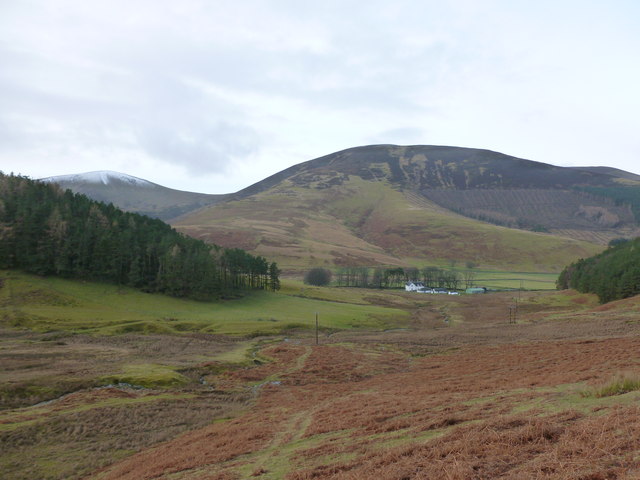
Blakehope Head is a prominent hill located in Peeblesshire, a historic county in the Scottish Borders region of Scotland. With an elevation of 621 meters (2,038 feet), it is considered one of the notable peaks in the area. The hill is situated within the Moffat Hills range, which forms part of the Southern Uplands.

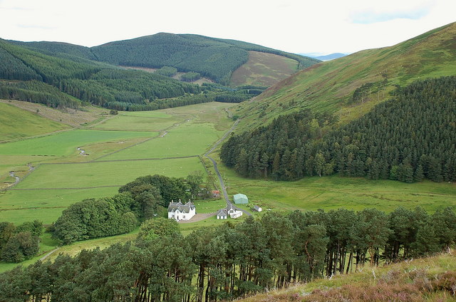
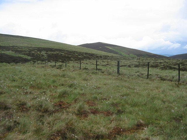
The summit of Blakehope Head offers breathtaking panoramic views of the surrounding landscape, making it a popular destination for hikers, nature enthusiasts, and photographers. Its distinctive shape and rugged terrain attract both experienced climbers and casual walkers. The hill is accessible by following well-marked footpaths and trails that wind through the picturesque countryside.

Blakehope Head is known for its diverse wildlife and rich biodiversity. The hill is home to various species of birds, including golden eagles, peregrine falcons, and red grouse. The surrounding moorland and heather-covered slopes provide a habitat for a range of flora and fauna.

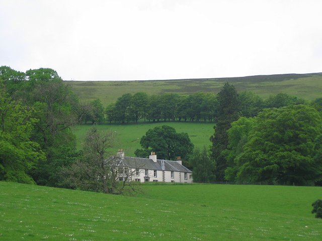
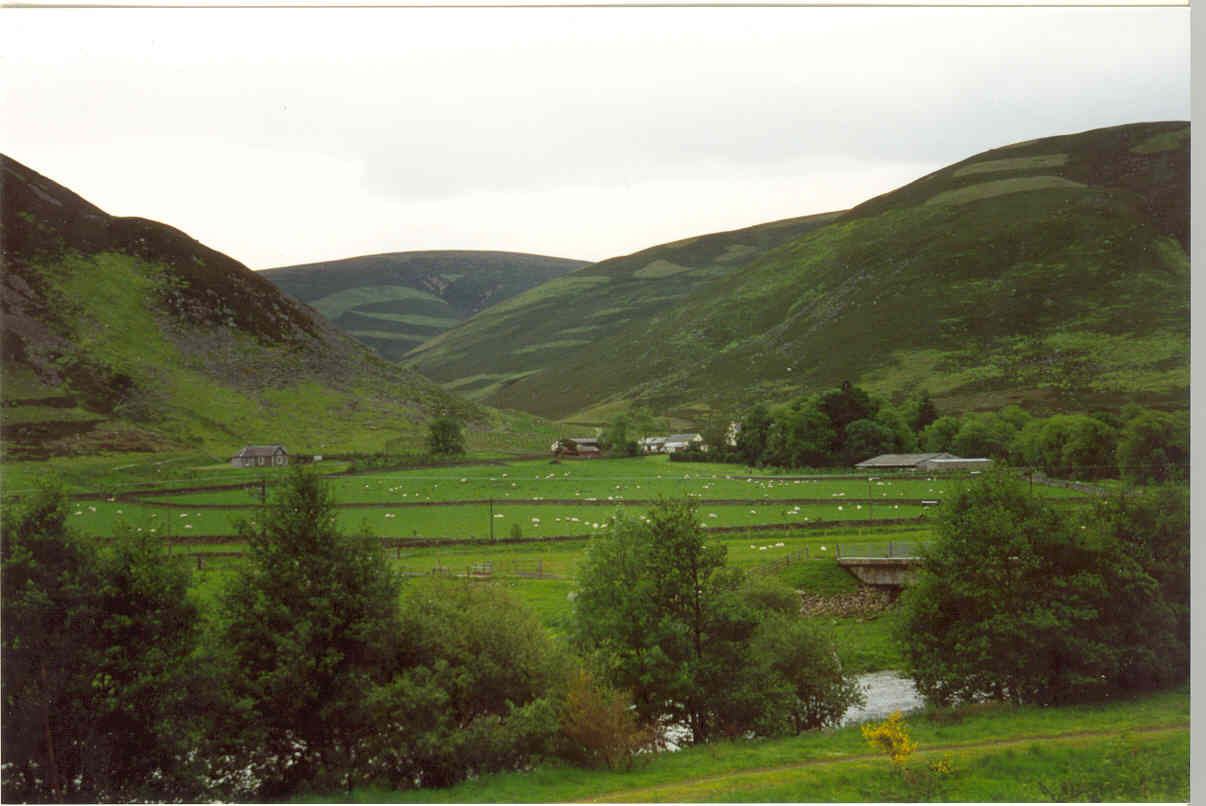
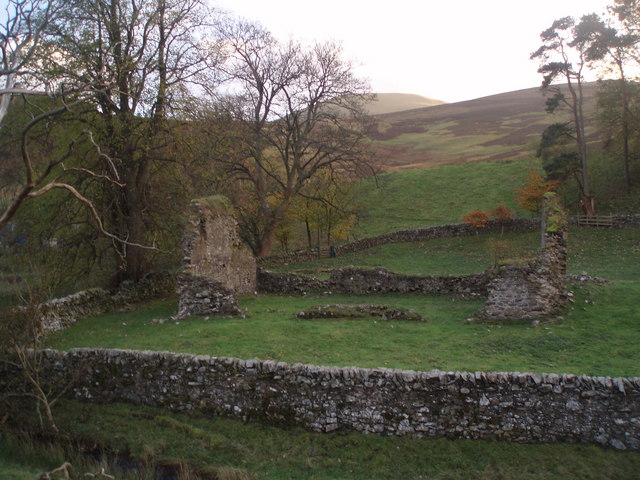
Historically, Blakehope Head has had a significant influence on the local community. The hill has been used for grazing livestock, and its slopes have been cultivated for agriculture. It also holds cultural and historical importance, with remnants of ancient settlements and archaeological sites present in the area.

Overall, Blakehope Head offers a rewarding outdoor experience for those seeking natural beauty, adventure, and a glimpse into the rich history and biodiversity of Peeblesshire.

If you have any feedback on the listing, please let us know in the comments section below.

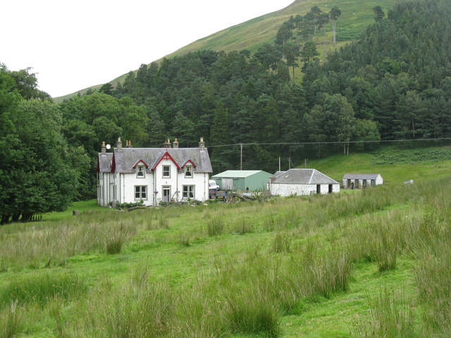
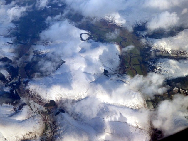
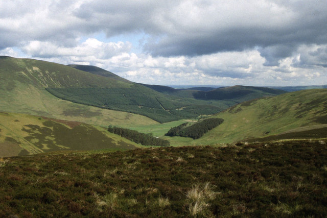
Blakehope Head Images

Images are sourced within 2km of 55.563428/-3.4263571 or Grid Reference NT1030. Thanks to Geograph Open Source API. All images are credited.

Glencotho in Glen Holm The rightmost building is roadside kennels, with very alert dogs.
Glencotho in Glen Holm
The rightmost building is roadside kennels, with very alert dogs.
Benshaw Hill from the air Benshaw Hill is in the foreground, with Glencotho to the left. The distant ring of trees is at Mossfennan, with the River Tweed to the right.
Benshaw Hill from the air
Benshaw Hill is in the foreground, with Glencotho to the left. The distant ring of trees is at Mossfennan, with the River Tweed to the right.
Chapelgill Hill & Glencotho from near Cocklie Rig Head
Glencotho and Common Law Glencotho is one of the sheep farms in Glen Holm, a valley south of Broughton. Common Law is the hill directly ahead with the plantation.
Glencotho and Common Law
Glencotho is one of the sheep farms in Glen Holm, a valley south of Broughton. Common Law is the hill directly ahead with the plantation.
Farm buildings at Glencotho Behind the farm is the spur which leads down off Middle Head.
Farm buildings at Glencotho
Behind the farm is the spur which leads down off Middle Head.
Chapelgill Hill and Glencotho Sheep-farming country in the north-west corner of the Borders.
Chapelgill Hill and Glencotho
Sheep-farming country in the north-west corner of the Borders.
Hillside above Glencotho Looking towards Culter Fell.
Hillside above Glencotho
Looking towards Culter Fell.
Heather moorland on Middle Head Looking towards the wind turbines on Cocklie Rig Head and the hills beyond.
Heather moorland on Middle Head
Looking towards the wind turbines on Cocklie Rig Head and the hills beyond.
Hills in the upper glen of the Holms Water Culter Fell is central, with a slight dusting of snow. The dome of Chapelgill Hill is off to its right, with Barrow Rig in front.
Hills in the upper glen of the Holms Water
Culter Fell is central, with a slight dusting of snow. The dome of Chapelgill Hill is off to its right, with Barrow Rig in front.
Fence and drystane dyke, Chester Rig Head A collapsed section of the dyke allowed a view over towards the Broughton Heights, where a rain shower was moving in.
Fence and drystane dyke, Chester Rig Head
A collapsed section of the dyke allowed a view over towards the Broughton Heights, where a rain shower was moving in.
At the top of Mossfennan Brae Looking down towards farmland by the River Tweed.
At the top of Mossfennan Brae
Looking down towards farmland by the River Tweed.
Gentle rise towards Wrae Hill A typical rounded Southern Uplands hill with a mix of grass and heather. A heavy shower is passing through not too far away, hence the dark clouds.
Gentle rise towards Wrae Hill
A typical rounded Southern Uplands hill with a mix of grass and heather. A heavy shower is passing through not too far away, hence the dark clouds.
Sheep grazing on Wrae Hill The distinctive conical shape of Worm Hill forms part of the backdrop.
Sheep grazing on Wrae Hill
The distinctive conical shape of Worm Hill forms part of the backdrop.
Young trees by the Smallhope Burn
Bog on Benshaw Hill Most of the ground up on this ridge is dry, good for growing heather, but this is a wet area with cottongrass and very heavy going. View to Blakehope Head.
Bog on Benshaw Hill
Most of the ground up on this ridge is dry, good for growing heather, but this is a wet area with cottongrass and very heavy going. View to Blakehope Head.
Benshaw Hill summit fence A fence junction at the flat summit, looking towards Crook Head and Nether Oliver Dod.
Benshaw Hill summit fence
A fence junction at the flat summit, looking towards Crook Head and Nether Oliver Dod.
Scottish Borders : The A701 Heading along the scenic route to Edinburgh on the A701.
Scottish Borders : The A701
Heading along the scenic route to Edinburgh on the A701.
Scottish Borders : The A701 Looking along the A701 as it heads through the Scottish Borders.
Scottish Borders : The A701
Looking along the A701 as it heads through the Scottish Borders.
Show me another place!

Blakehope Head is located at Grid Ref: NT1030 (Lat: 55.563428, Lng: -3.4263571)

Unitary Authority: The Scottish Borders

Police Authority: The Lothians and Scottish Borders

What 3 Words

///evaporate.waistcoat.incoming. Near Biggar, South Lanarkshire

Related Wikis

Mossfennan

Mossfennan is a small settlement in southern Scotland near Drumelzier in the Scottish Borders, in the valley of the River Tweed. Mossfennan is a wooded...

Stanhope, Peeblesshire

Stanhope is a small settlement in the Scottish Borders region. It is situated in the parish of Drumelzier in Peeblesshire, in the valley of the River...

Wrae Tower

Wrae Tower is a ruined 16th-century stone tower house, located in the upper Tweed Valley in the Scottish Borders area of Scotland, and similarly south...

A701 road

The A701 is a major road in Scotland that runs from Dumfries to Edinburgh. == Route == The A701 leaves Dumfries and travels north to meet the A74(M) east...

Polmood

Polmood is a small settlement in southern Scotland near Tweedsmuir in the Scottish Borders, in the valley of the River Tweed. Polmood was for many centuries...

Holms Water

The Holms Water is a river and a tributary of the Biggar Water, which is a tributary of the River Tweed, in the parish of Broughton, Glenholm and Kilbucho...

Kilbucho

Kilbucho (Scottish Gaelic: Cille Bheagha) is a small settlement in the parish of Broughton, Glenholm and Kilbucho in the Scottish Borders area of Scotland...

Crook Inn

The Crook Inn is an inn in the Scottish Borders, near the village of Tweedsmuir on the A701 road between Broughton and Moffat. It is one of many claimants...

Have you been to Blakehope Head?

Leave your review of Blakehope Head below (or comments, questions and feedback).