Cnoc na Feadaige
Hill, Mountain in Caithness
Scotland
Cnoc na Feadaige
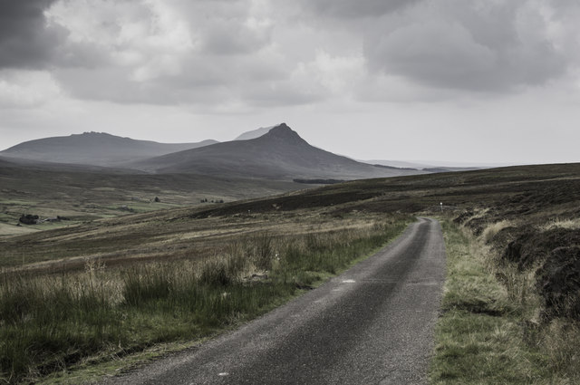
Cnoc na Feadaige is a prominent hill located in the county of Caithness, Scotland. It is situated near the town of Thurso and lies within the Caithness and Sutherland peatlands, offering breathtaking vistas of the surrounding landscape. The hill stands at an elevation of approximately 438 meters (1,437 feet) above sea level, making it a prominent feature in the region.
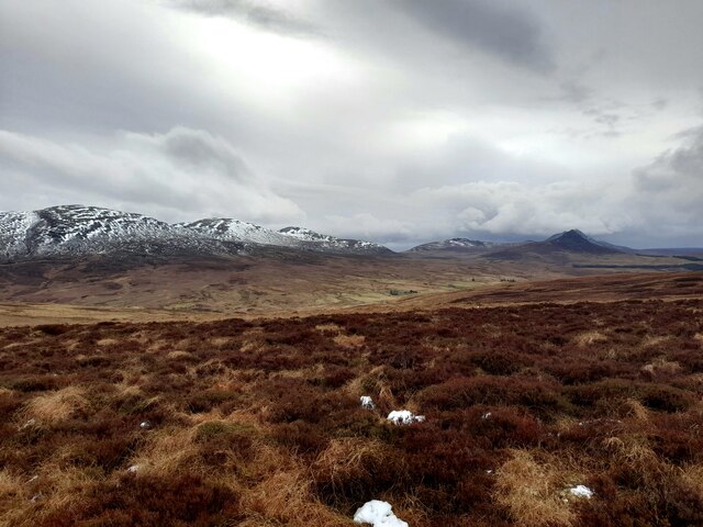
Cnoc na Feadaige is characterized by its gentle slopes and heather-covered terrain, which adds to its natural beauty. The hill is part of a larger upland area, known for its peat bogs and diverse plant and animal life. The hill's name, Cnoc na Feadaige, translates to "Hill of the Plovers," reflecting the presence of these birds in the area.
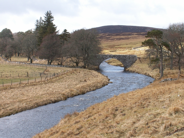
Walking up Cnoc na Feadaige provides visitors with stunning panoramic views of the Caithness landscape, including the surrounding hills, moors, and even the North Sea. On clear days, one can see as far as the Orkney Islands from the summit. The hill is a popular destination for hikers and nature enthusiasts, offering a tranquil and peaceful escape.
Aside from its natural beauty, Cnoc na Feadaige also holds historical significance. The surrounding area contains numerous archaeological sites, including ancient settlements and burial mounds. These remnants of the past add an intriguing layer to the overall experience of exploring the hill.
In conclusion, Cnoc na Feadaige is a picturesque hill in Caithness, Scotland, known for its stunning views, diverse wildlife, and historical significance. It offers visitors the opportunity to immerse themselves in the natural wonders of the region and take in the breathtaking scenery.
If you have any feedback on the listing, please let us know in the comments section below.
Cnoc na Feadaige Images
Images are sourced within 2km of 58.244117/-3.5352257 or Grid Reference ND0929. Thanks to Geograph Open Source API. All images are credited.


Cnoc na Feadaige is located at Grid Ref: ND0929 (Lat: 58.244117, Lng: -3.5352257)
Unitary Authority: Highland
Police Authority: Highlands and Islands
What 3 Words
///models.strictly.stirs. Near Dunbeath, Highland
Nearby Locations
Related Wikis

Dunbeath air crash
The Dunbeath air crash involved the loss of a Short S.25 Sunderland Mk. III that crashed in the Scottish Highlands on a headland known as Eagle's Rock...
Braemore
Braemore (Scottish Gaelic: Am Bràigh Mòr) is a location in Berriedale in the Highland council area of Scotland. It can be approached from the A9 road at...

Scaraben
Scaraben (626 m) is a hill in the Northwest Highlands of Scotland. It lies in the Caithness region, in the far north. Taking the form of a long ridge over...

Ramscraig
Ramscraig is a small scattered crofting hamlet, located 2 miles southwest from Dunbeath, in eastern Caithness, Scottish Highlands and is in the Scottish...
Nearby Amenities
Located within 500m of 58.244117,-3.5352257Have you been to Cnoc na Feadaige?
Leave your review of Cnoc na Feadaige below (or comments, questions and feedback).