Mynydd Fochriw

Hill, Mountain in Glamorgan

Wales

Mynydd Fochriw

Old telegraph pole and class 66 at Cwmbargoed Class 66 locomotive No. 66028 runs around its loaded coal wagons at Cwmbargoed, and is frame by a rather derelict-looking telegraph pole.
Old telegraph pole and class 66 at Cwmbargoed Credit: Gareth James

Mynydd Fochriw is a hill located in the county of Glamorgan in Wales, United Kingdom. It is situated near the village of Fochriw and is part of the larger Brecon Beacons National Park. The hill is known for its natural beauty and offers stunning panoramic views of the surrounding countryside.

Mynydd Fochriw stands at an elevation of approximately 350 meters (1,150 feet) above sea level. It is composed mainly of sandstone and shale, with patches of grass and heather covering its slopes. The hill is part of a larger range that stretches across south Wales, providing a picturesque backdrop to the region.

The area surrounding Mynydd Fochriw is rich in wildlife, with various species of birds, including the red kite and buzzard, frequently spotted soaring above. Additionally, the hill is home to several species of plants and flowers, such as heather, gorse, and bilberry.

The hill is a popular destination for hikers and nature enthusiasts, offering a range of trails and paths that cater to different levels of difficulty. The ascent to the summit of Mynydd Fochriw rewards visitors with breathtaking views of the surrounding valleys and mountains, including the nearby Brecon Beacons.

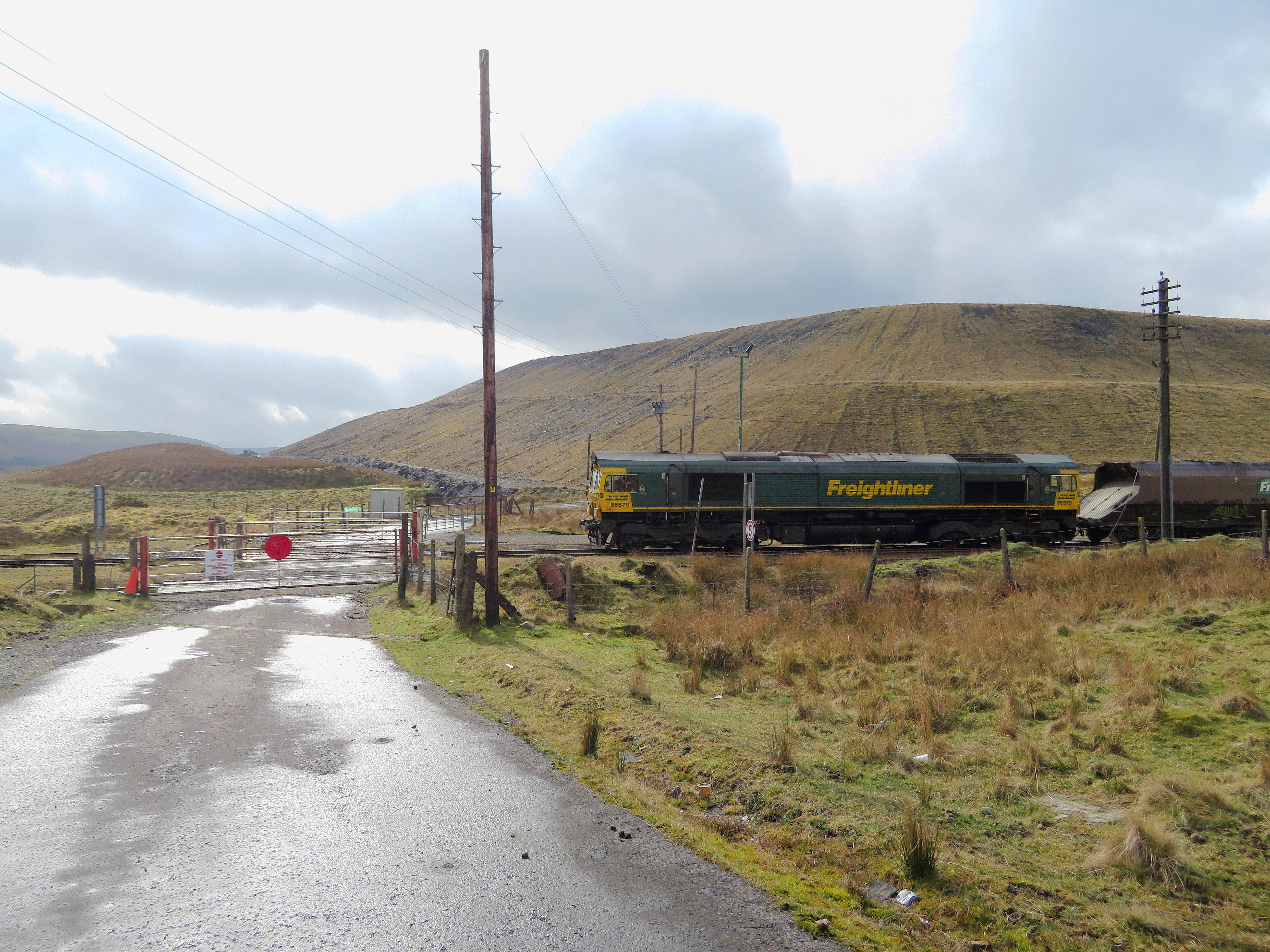
Mynydd Fochriw is not only a natural attraction but also holds historical significance. The remains of old mining operations can be found on the hill, serving as a reminder of the area's coal mining past.

Overall, Mynydd Fochriw is a beautiful and accessible hill that combines natural beauty, wildlife, and historical interest, making it a must-visit destination for those exploring the Glamorgan region.

If you have any feedback on the listing, please let us know in the comments section below.

Mynydd Fochriw Images

Images are sourced within 2km of 51.734014/-3.3052017 or Grid Reference SO0904. Thanks to Geograph Open Source API. All images are credited.

Old telegraph pole and class 66 at Cwmbargoed Class 66 locomotive No. 66028 runs around its loaded coal wagons at Cwmbargoed, and is frame by a rather derelict-looking telegraph pole.
Old telegraph pole and class 66 at Cwmbargoed
Class 66 locomotive No. 66028 runs around its loaded coal wagons at Cwmbargoed, and is frame by a rather derelict-looking telegraph pole.
Class 66 at Cwmbargoed Class 66 locomotive No. 66028 runs around its train of loaded coal wagons at Cwmbargoed before setting off down the Taff Bargoed valley for Margam and Port Talbot steelworks.
Class 66 at Cwmbargoed
Class 66 locomotive No. 66028 runs around its train of loaded coal wagons at Cwmbargoed before setting off down the Taff Bargoed valley for Margam and Port Talbot steelworks.
Coal train at Cwmbargoed Having run around its train, Class 66 locomotive No. 66028 waits to depart the sidings at Cwmbargoed with another load of coal for Margam and Port Talbot steelworks. With mining activity now having stopped at Ffos-y-Fran, these final trains are moving the last of the stock of coal at the site.
Coal train at Cwmbargoed
Having run around its train, Class 66 locomotive No. 66028 waits to depart the sidings at Cwmbargoed with another load of coal for Margam and Port Talbot steelworks. With mining activity now having stopped at Ffos-y-Fran, these final trains are moving the last of the stock of coal at the site.
Tractor in the landscape Seen above the village of Pentwyn.
Tractor in the landscape
Seen above the village of Pentwyn.
Old Boundary Marker near Sunny View, Pontlottyn Mine Boundary Marker beside a metal gate on a path up the hillside above Sunny View, Pontlottyn. Rhymney community. The coronet and B represent the Marquess of Bute and similar stones have marked mining rights, see <span class="nowrap"><a title="http://www.industrialgwent.co.uk/h21-boundary/index.htm#atoc" rel="nofollow ugc noopener" href="http://www.industrialgwent.co.uk/h21-boundary/index.htm#atoc">Link</a><img style="margin-left:2px;" alt="External link" title="External link - shift click to open in new window" src="https://s1.geograph.org.uk/img/external.png" width="10" height="10"/></span>.

Milestone Society National ID: GLA_RHYM01em
Old Boundary Marker near Sunny View, Pontlottyn
Mine Boundary Marker beside a metal gate on a path up the hillside above Sunny View, Pontlottyn. Rhymney community. The coronet and B represent the Marquess of Bute and similar stones have marked mining rights, see LinkExternal link. Milestone Society National ID: GLA_RHYM01em
Track across Gelligaer Common
Housing in Fochriw
Housing in Fochriw
Rhymney Valley Ridgeway Power cables along the ridgeway.
Rhymney Valley Ridgeway
Power cables along the ridgeway.
No exit Fortunately the barrier across the mountain road was not padlocked.  There had been no sign earlier that the road was barred at any point.
No exit
Fortunately the barrier across the mountain road was not padlocked. There had been no sign earlier that the road was barred at any point.
Upland pond on Cefn Brithdir
Turning to Bedlinog Pen Garnbugail on the horizon.
Turning to Bedlinog
Pen Garnbugail on the horizon.
The rear of Glen View Terrace
Uphill to Fochrhiw Pentecostal Mission
Cattle grid and gate
Road winding through old coal tips
Railway terrace With the appearance of a third world shanty settlement.
Railway terrace
With the appearance of a third world shanty settlement.
Horses on Mynydd Fochriw The hillside behind is obscured by the low cloud.
Horses on Mynydd Fochriw
The hillside behind is obscured by the low cloud.
Coal train in the Taf Bargoed valley Class 66 No. 66079 lifts the empty coal wagons from Hope to Cwmbargoed past the site of the former Nant y Ffin drift mine.
Coal train in the Taf Bargoed valley
Class 66 No. 66079 lifts the empty coal wagons from Hope to Cwmbargoed past the site of the former Nant y Ffin drift mine.
Show me another place!

Mynydd Fochriw is located at Grid Ref: SO0904 (Lat: 51.734014, Lng: -3.3052017)

Unitary Authority: Merthyr Tydfil

Police Authority: South Wales

What 3 Words

///stow.possible.princely. Near Fochriw, Caerphilly

Nearby Locations

Mynydd Fochriw

Related Wikis

Pontlottyn

Pontlottyn (Welsh: Pontlotyn) is a village located in the county borough of Caerphilly, within the historic county boundaries of Glamorgan, Wales. It is...

Fochriw

Fochriw (Welsh pronunciation: [vɔxˈrɪu̯]) is a village located in Caerphilly County Borough, Wales, United Kingdom. It was well known for its neighbouring...

Cwm Bargoed railway station

Cwm Bargoed railway station was near the village of Fochriw, in the Taff Bargoed valley of Caerphilly County Borough, Wales, from 1876 to 1964 on the Rhymney...

Merthyr Tydfil and Rhymney (Senedd constituency)

Merthyr Tydfil and Rhymney (Welsh: Merthyr Tudful a Rhymni) is a constituency of the Senedd. It elects one Member of the Senedd by the first past the post...

Nearby Amenities

Located within 500m of 51.734014,-3.3052017
Mynydd Fochriw
Natural: peak
Lat/Long: 51.7340206/-3.3050392
Bus Stop
Bus: yes
Naptan AtcoCode: 5540AWB34195
Naptan NaptanCode: cpydjwg
Public Transport: platform
Lat/Long: 51.7323479/-3.2984902
Parking
Parking: surface
Surface: unpaved
Lat/Long: 51.7320043/-3.2996473
Parking
Lat/Long: 51.7317927/-3.2994027
Parking
Lat/Long: 51.7321343/-3.2986779
Parking
Lat/Long: 51.7329367/-3.2991549
The data included in this document is from www.openstreetmap.org. The data is made available under ODbL.

Have you been to Mynydd Fochriw?

Leave your review of Mynydd Fochriw below (or comments, questions and feedback).