Branken Wall

Hill, Mountain in Cumberland Copeland

England

Branken Wall

A595 junction with Main Street, Ravenglass
A595 junction with Main Street, Ravenglass Credit: Colin Pyle

Branken Wall is a prominent hill located in Cumberland, a historic county in the north of England. Rising approximately 1,312 feet (400 meters) above sea level, it forms part of the spectacular landscape of the region. Branken Wall is situated in close proximity to the village of Gilsland, near the border between Cumbria and Northumberland.

The hill derives its name from the ancient Roman fortification, Hadrian's Wall, which runs along its southern side. This iconic wall, built by the Romans in the 2nd century AD, stretches across the width of northern England, and Branken Wall serves as a significant section of it. The wall served as a defensive structure and demarcated the northernmost frontier of the Roman Empire.

At the summit of Branken Wall, visitors are rewarded with breathtaking panoramic views of the surrounding countryside. On a clear day, one can witness the undulating landscape of Cumberland, with its rolling hills, verdant pastures, and meandering rivers. The hill is also home to various species of flora and fauna, making it an ideal spot for nature enthusiasts and hikers.

Climbing Branken Wall can be a challenging yet rewarding experience. The terrain is rugged, with steep slopes and rocky outcrops, but the effort is well worth it for those seeking a sense of adventure and the chance to immerse themselves in the region's rich history. Whether it's exploring the remnants of Hadrian's Wall or simply enjoying the awe-inspiring vistas, Branken Wall offers a remarkable and memorable experience for all who visit.

If you have any feedback on the listing, please let us know in the comments section below.
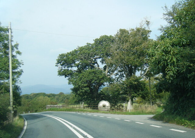
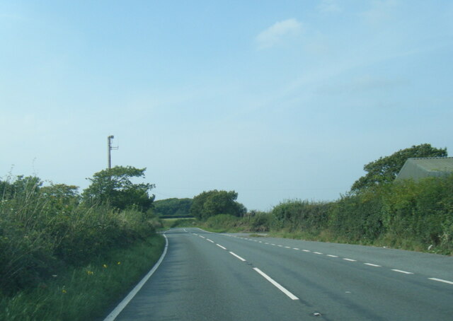
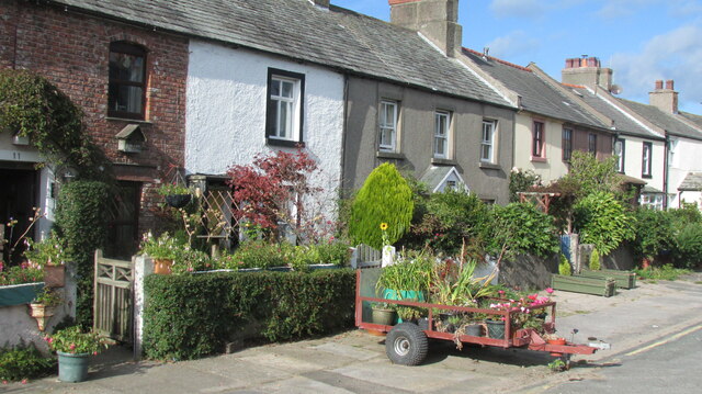
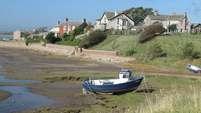
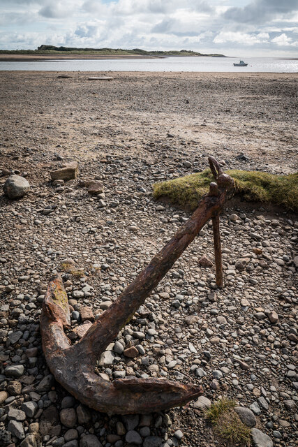
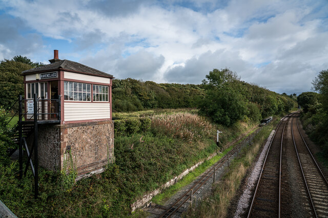
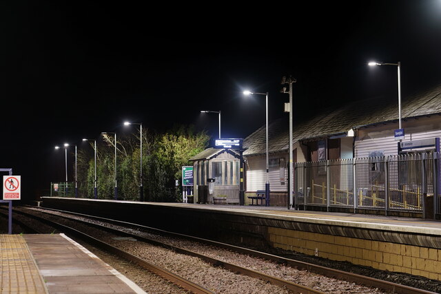
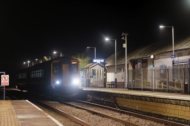
Branken Wall Images

Images are sourced within 2km of 54.362574/-3.3916111 or Grid Reference SD0997. Thanks to Geograph Open Source API. All images are credited.

A595 junction with Main Street, Ravenglass
A595 at Muncaster Mill
A595 south of Longmire Wood
Ordnance Survey Pivot This OS pivot can be found on the SE face of the railway bridge. It marks a point 5.444m above mean sea level.
Ordnance Survey Pivot
This OS pivot can be found on the SE face of the railway bridge. It marks a point 5.444m above mean sea level.
Ordnance Survey Cut Mark This OS cut mark can be found on the building west side of the slip way at the south end of Main Street. It marks a point 5.093m above mean sea level.
Ordnance Survey Cut Mark
This OS cut mark can be found on the building west side of the slip way at the south end of Main Street. It marks a point 5.093m above mean sea level.
Ravenglass 'River Mite' reversing onto a train which would form a mid-morning departure to Dalegarth.
Ravenglass
'River Mite' reversing onto a train which would form a mid-morning departure to Dalegarth.
Ravenglass 'River Mite' with the train which would form a mid-morning departure to Dalegarth. The first carriage is one of a batch recently manufactured in the workshop of the Ffestiniog Railway.
Ravenglass
'River Mite' with the train which would form a mid-morning departure to Dalegarth. The first carriage is one of a batch recently manufactured in the workshop of the Ffestiniog Railway.
Ravenglass station on the Ravenglass & Eskdale Railway Whillan Beck propels its empty carriages into the shed after arrival from Dalegarth.
Ravenglass station on the Ravenglass & Eskdale Railway
Whillan Beck propels its empty carriages into the shed after arrival from Dalegarth.
Whillan Beck on the turntable at Ravenglass Ravenglass & Eskdale Railway
Whillan Beck on the turntable at Ravenglass
Ravenglass & Eskdale Railway
Ravenglass street scene Ravenglass seems very different from other Lakeland villages - use of pebbledash tells you something about the weather.
Ravenglass street scene
Ravenglass seems very different from other Lakeland villages - use of pebbledash tells you something about the weather.
Ravenglass shoreline Where the River Esk joins the Irish Sea.
Ravenglass shoreline
Where the River Esk joins the Irish Sea.
Roman Bath House Remains, Ravenglass Ravenglass Roman Bath House is a ruined ancient Roman bath house at Ravenglass, Cumbria, England. Belonging to a 2nd-century Roman fort and naval base. The bath house is described by Matthew Hyde in his update to the Pevsner Guide to Cumbria as "an astonishing survival". The still standing walls are 13 ft (4 m) high, there are patches of the internal rendering, in dull red and white cement, and traces of the splayed window openings remain.

The relatively good state of preservation of the bath house is believed to be attributable to its being adapted for domestic use in the medieval period.

<span class="nowrap"><a title="https://en.wikipedia.org/wiki/Ravenglass_Roman_Bath_House" rel="nofollow ugc noopener" href="https://en.wikipedia.org/wiki/Ravenglass_Roman_Bath_House">Link</a><img style="margin-left:2px;" alt="External link" title="External link - shift click to open in new window" src="https://s1.geograph.org.uk/img/external.png" width="10" height="10"/></span>
Roman Bath House Remains, Ravenglass
Ravenglass Roman Bath House is a ruined ancient Roman bath house at Ravenglass, Cumbria, England. Belonging to a 2nd-century Roman fort and naval base. The bath house is described by Matthew Hyde in his update to the Pevsner Guide to Cumbria as "an astonishing survival". The still standing walls are 13 ft (4 m) high, there are patches of the internal rendering, in dull red and white cement, and traces of the splayed window openings remain. The relatively good state of preservation of the bath house is believed to be attributable to its being adapted for domestic use in the medieval period. LinkExternal link
Rusty Anchor, Ravenglass
Signal Box, Ravenglass
Ravenglass Railway Station The platform for trains to Barrow and Lancaster.
Ravenglass Railway Station
The platform for trains to Barrow and Lancaster.
Ravenglass Railway Station A train for either Barrow or Lancaster. Two carriages is now the normal formation, but occasionally just a single carriage runs during the quieter mid-day period.
Ravenglass Railway Station
A train for either Barrow or Lancaster. Two carriages is now the normal formation, but occasionally just a single carriage runs during the quieter mid-day period.
Loco Shed, Ravenglass Interior of the Ravenglass and Eskdale Railway steam locomotive shed near the Ravenglass terminus of the line.
The wood piled in the corner is scrap used as kindling when the steam locomotives are being prepared and the fires are being lit.
Loco Shed, Ravenglass
Interior of the Ravenglass and Eskdale Railway steam locomotive shed near the Ravenglass terminus of the line. The wood piled in the corner is scrap used as kindling when the steam locomotives are being prepared and the fires are being lit.
Water Tank Mounted on the rear corner of the Diesel Shed and conveniently sited outside the (steam) Loco Shed, the water tank is used for replenishment of the Ravenglass and Eskdale Railway’s fleet of steam locomotives.
The horizontal boards supporting the stone heap are kept in place by old rails.
The dirty, oily ground is very typical of that found in railway installations where steam locomotives have been serviced over a long period of time.
Water Tank
Mounted on the rear corner of the Diesel Shed and conveniently sited outside the (steam) Loco Shed, the water tank is used for replenishment of the Ravenglass and Eskdale Railway’s fleet of steam locomotives. The horizontal boards supporting the stone heap are kept in place by old rails. The dirty, oily ground is very typical of that found in railway installations where steam locomotives have been serviced over a long period of time.
Show me another place!

Branken Wall is located at Grid Ref: SD0997 (Lat: 54.362574, Lng: -3.3916111)

Administrative County: Cumbria

District: Copeland

Police Authority: Cumbria

What 3 Words

///measure.crashing.compacts. Near Seascale, Cumbria

Related Wikis

Muncaster Mill railway station

Muncaster Mill railway station is a railway station on the 15 in (381 mm) gauge Ravenglass & Eskdale Railway in Cumbria, England. The station is located...

Muncaster War Memorial

Muncaster War Memorial is a First World War memorial in the parish of Muncaster on the west coast of Cumbria in the far north-west of England. The memorial...

St Michael's Church, Muncaster

St Michael's Church is in the grounds of Muncaster Castle, near Ravenglass, Cumbria, England. It is an active Anglican parish church in the deanery of...

Muncaster

Muncaster is a civil parish in Cumbria, North West England. The parish is 41 miles (66 km) south west of the city of Carlisle, in the Copeland district...

Nearby Amenities

Located within 500m of 54.362574,-3.3916111
Muncaster
Disused Railway: station
Railway: site
Source: npe
Lat/Long: 54.3665696/-3.3945246
Bus Stop
Muncaster Mill road end (S bound)
Bench: no
Bin: no
Local Ref: AT
Naptan AtcoCode: 090050181677
Naptan Bearing: S
Naptan BusStopType: CUS
Naptan CommonName: Muncaster Mill road end (S bound)
Naptan Indicator: at
Naptan Landmark: Muncaster Mill Road End
Naptan NaptanCode: cumawdmt
Naptan Street: A595(T)
Naptan Verified: no
Shelter: no
Source: naptan_import
Lat/Long: 54.3661025/-3.395498
Bus Stop
Muncaster Mill road end (N bound)
Naptan AtcoCode: 090050183337
Naptan Bearing: N
Naptan BusStopType: CUS
Naptan CommonName: Muncaster Mill road end (N bound)
Naptan Indicator: opp
Naptan Landmark: Muncaster Mill road end
Naptan NaptanCode: cumawdpg
Naptan Street: A595(T)
Naptan Verified: no
Shelter: no
Source: naptan_import
Lat/Long: 54.3661356/-3.3957454
Muncaster Mill
Naptan AtcoCode: 940GZZREMML
Operator: Ravenglass & Eskdale Railway
Public Transport: station
Railway: station
Usage: tourism
Website: https://ravenglass-railway.co.uk/
Wikidata: Q6935639
Wikipedia: en:Muncaster Mill railway station
Lat/Long: 54.3667401/-3.3940413
Ele: 127
Natural: peak
Lat/Long: 54.3623672/-3.3918531
Barrow Plantation
Natural: wood
Lat/Long: 54.364876/-3.3921556
Miller Crag
Place: locality
Lat/Long: 54.3644551/-3.3941902
Branken Wall
Place: locality
Lat/Long: 54.360466/-3.3895415
Brankenwall Plantation
Natural: wood
Lat/Long: 54.3623402/-3.3885427
Muncaster Mill
Public Transport: stop_position
Railway: stop
Train: yes
Lat/Long: 54.3667484/-3.3940815
Mill Wood
Natural: wood
Lat/Long: 54.366125/-3.3917492
Power: pole
Lat/Long: 54.3592456/-3.3888303
Power: pole
Lat/Long: 54.3600123/-3.388876
Power: pole
Lat/Long: 54.3592732/-3.3876147
Power: pole
Lat/Long: 54.3593091/-3.3864202
The data included in this document is from www.openstreetmap.org. The data is made available under ODbL.

Have you been to Branken Wall?

Leave your review of Branken Wall below (or comments, questions and feedback).