Barr Salachaidh
Hill, Mountain in Perthshire
Scotland
Barr Salachaidh

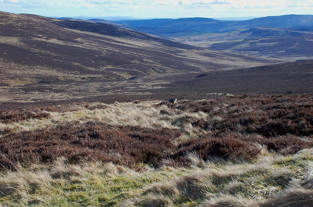
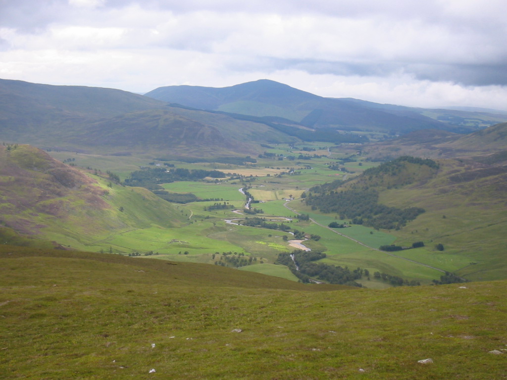
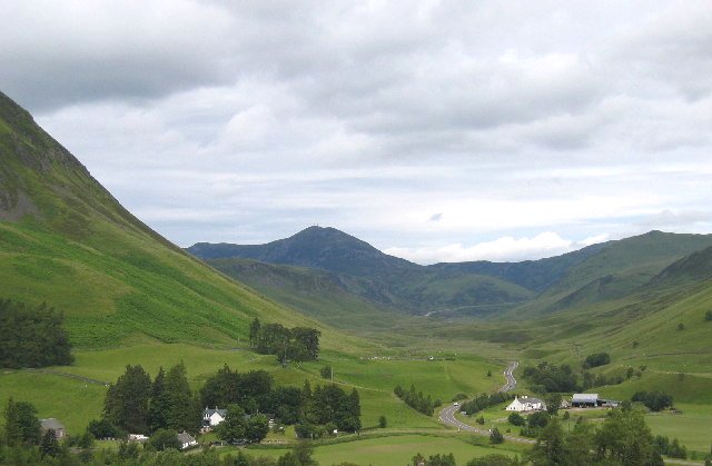
Barr Salachaidh is a prominent hill located in Perthshire, Scotland. Situated in the southern part of the county, it forms part of the Grampian Mountains range. With an elevation of approximately 678 meters (2,224 feet), it offers breathtaking panoramic views of the surrounding landscape.
The hill is characterized by its rugged terrain, consisting of steep slopes covered in heather and grass, making it a popular destination for hikers and mountaineers seeking a challenging climb. The ascent to the summit provides a rewarding experience, as it offers stunning vistas of the surrounding countryside, including the nearby Loch Tay and the picturesque villages nestled below.
Due to its elevated position, Barr Salachaidh is often subject to unpredictable weather conditions, including strong winds and rapidly changing temperatures. It is advisable for visitors to come prepared with appropriate clothing and equipment.
In addition to its natural beauty, Barr Salachaidh is also known for its rich historical significance. The hill is home to several ancient cairns, which are burial mounds dating back to the Bronze Age. These archaeological features provide insight into the region's past and attract history enthusiasts.
Barr Salachaidh is easily accessible, with various paths and trails leading to its summit. Whether it be for outdoor enthusiasts seeking a physical challenge or those looking to immerse themselves in the beauty of the Scottish countryside, this hill offers a rewarding experience for all who venture to its peak.
If you have any feedback on the listing, please let us know in the comments section below.
Barr Salachaidh Images
Images are sourced within 2km of 56.774757/-3.4799805 or Grid Reference NO0965. Thanks to Geograph Open Source API. All images are credited.


Barr Salachaidh is located at Grid Ref: NO0965 (Lat: 56.774757, Lng: -3.4799805)
Unitary Authority: Perth and Kinross
Police Authority: Tayside
What 3 Words
///page.ramming.chiefs. Near Pitlochry, Perth & Kinross
Nearby Locations
Related Wikis

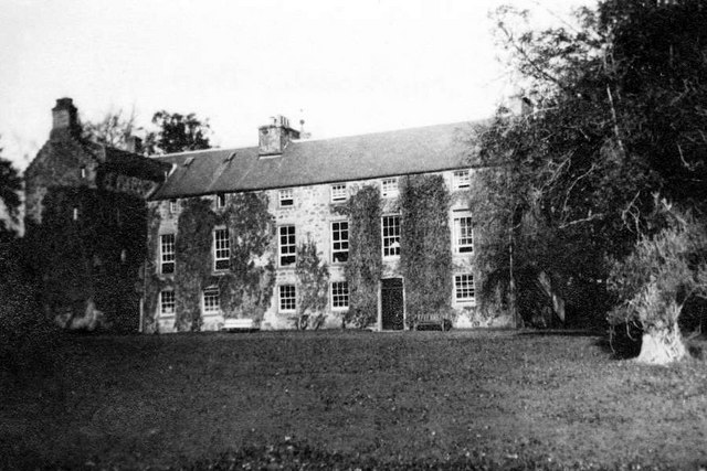
Dirnanean House
Dirnanean House is part of a private, traditional Highland estate located near Enochdhu in Moulin parish, Blairgowrie, Perth and Kinross, Scotland, 10...

Glen Shee
Glen Shee (Scottish Gaelic: Gleann Sith) is a glen in eastern Perthshire, Scotland. Shee Water flows through the glen. The head of the glen, where Gleann...
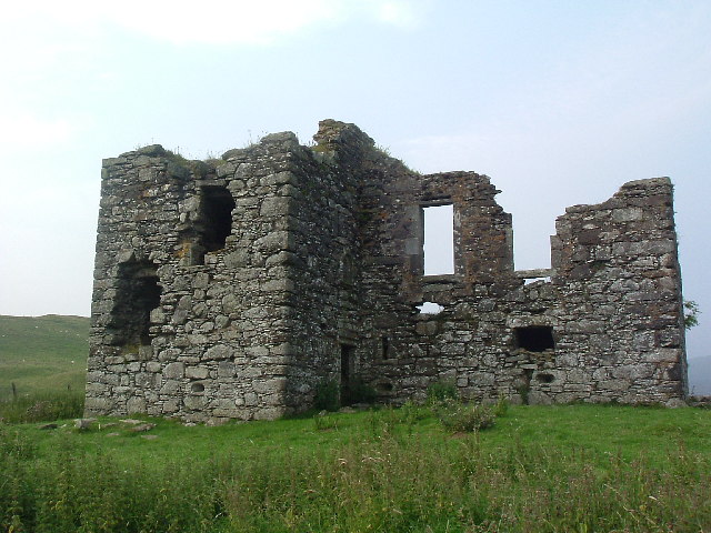
Whitefield Castle
Whitefield Castle is a ruined L-plan tower-house on the hill above the village of Kirkmichael, in Strathardle, Perth and Kinross, Scotland. == History... ==

Finegand
Finegand is a farming hamlet located in eastern Perth and Kinross, Scotland and also refers historically to the portion of lands surrounding the hamlet...

Balvarran
Balvarran is an old laird's house and estate in Strathardle, Perth and Kinross. It is situated to the east of the River Ardle, a mile east of Enochdhu...
Shee Water
The Shee Water (Scottish Gaelic: Sìdh / Uisge Sìdh) is a river in the highland portion of eastern Perth and Kinross, Scotland. The Allt a' Ghlinne Bhig...
Ashintully Castle
Ashintully Castle, located near Kirkmichael, north of Blairgowrie, in the county of Perthshire Scotland, was built in 1583 as a fortified tower house by...
Spittal of Glenshee
The Spittal of Glenshee (Scottish Gaelic: Spideal Ghlinn Sìdh, pronounced [ˈspitʲəl̪ˠ ʝliːɲ ˈʃiːʝ]) lies at the head of Glenshee in the highlands of eastern...
Have you been to Barr Salachaidh?
Leave your review of Barr Salachaidh below (or comments, questions and feedback).