Corston Hill

Hill, Mountain in Midlothian

Scotland

Corston Hill

Gogar Bridge Bridge over the Gogar Burn about 2 km from its source on Corston Hill. The road is the unclassified road from the A70 Lang Whang north to Ormiston.
Gogar Bridge Credit: M J Richardson

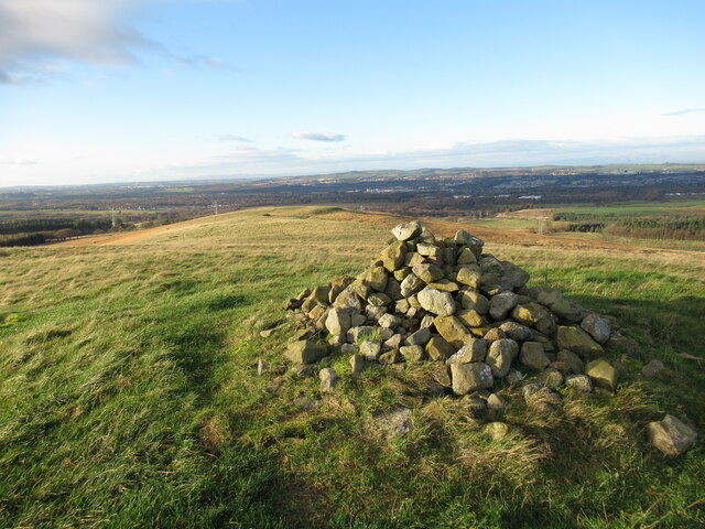
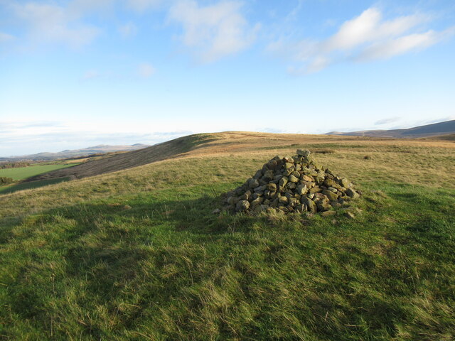
Corston Hill, located in Midlothian, Scotland, is a prominent geological formation that stands tall in the picturesque landscape of the region. This hill, or mountain as some may call it, is a prominent feature of the Pentland Hills range, which extends for approximately 20 miles to the southwest of Edinburgh.

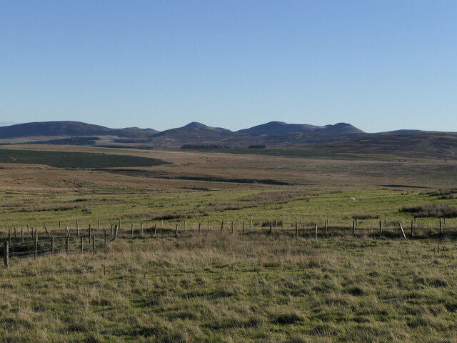
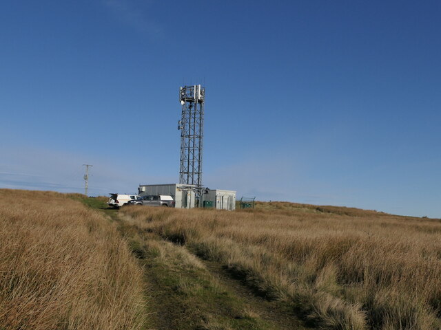
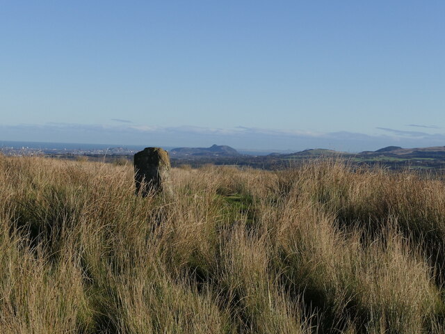
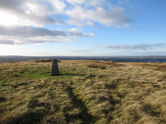
Rising to an elevation of around 380 meters (1,250 feet), Corston Hill offers breathtaking panoramic views of the surrounding area. Its distinctive shape and rugged terrain make it an appealing destination for nature enthusiasts, hikers, and mountaineers alike. The hill is known for its challenging trails that wind through heather-clad slopes, rocky outcrops, and steep ascents, providing an exciting and rewarding experience for outdoor adventurers.

Corston Hill is also home to a diverse range of flora and fauna. The lower slopes are adorned with ancient woodlands, while the upper regions feature open moorland and grassy meadows. The hill's rich biodiversity supports a variety of bird species, including kestrels, peregrine falcons, and buzzards, making it a popular spot for birdwatching.

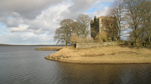
Furthermore, Corston Hill holds historical significance due to its association with the Roman Empire. The nearby Roman fort at Castlelaw, dating back to the 2nd century AD, adds an archaeological dimension to the area. Visitors can explore the remains of this ancient fort and gain insights into the Roman occupation of Scotland.

Overall, Corston Hill embodies the natural beauty and cultural heritage of Midlothian. Whether for its stunning vistas, challenging hikes, or historical intrigue, this hill/mountain promises an unforgettable experience for those who venture to its summit.

If you have any feedback on the listing, please let us know in the comments section below.
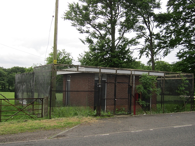
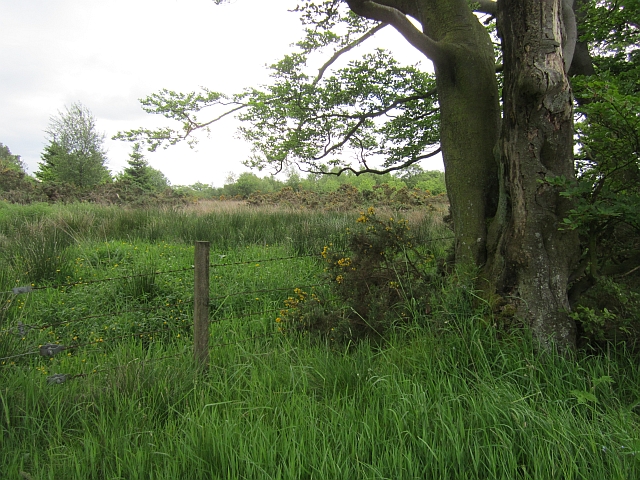
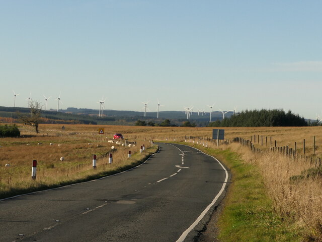
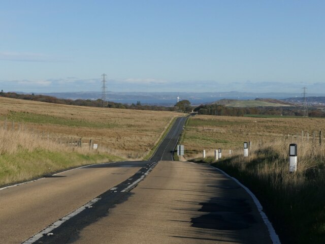
Corston Hill Images

Images are sourced within 2km of 55.855478/-3.4478399 or Grid Reference NT0963. Thanks to Geograph Open Source API. All images are credited.

Gogar Bridge Bridge over the Gogar Burn about 2 km from its source on Corston Hill. The road is the unclassified road from the A70 Lang Whang north to Ormiston.
Gogar Bridge
Bridge over the Gogar Burn about 2 km from its source on Corston Hill. The road is the unclassified road from the A70 Lang Whang north to Ormiston.
Mystery building, Lang Whang A small windowless building with a substantial fence. There are several unexplained buildings along this road and I do know that there is a seismology station in the area.
Mystery building, Lang Whang
A small windowless building with a substantial fence. There are several unexplained buildings along this road and I do know that there is a seismology station in the area.
Lang Whang The Edinburgh Lanark road (A70).
Lang Whang
The Edinburgh Lanark road (A70).
Field, Ainville A dairy farm.
Field, Ainville
A dairy farm.
A70, Lang Whang The Edinburgh to Lanark Road.
A70, Lang Whang
The Edinburgh to Lanark Road.
Fox Covert A very wet woodland.
Fox Covert
A very wet woodland.
Lang Whang, Auchinoon Hill The A70 passing Harperrig Reservoir with the wind turbines at Harburnhead in the background.
Lang Whang, Auchinoon Hill
The A70 passing Harperrig Reservoir with the wind turbines at Harburnhead in the background.
Lang Whang, Auchinoon Hill Edinburgh bound view on the A70. This is a hill crest with limited visibility and the road has a high friction gabbro coating.
Lang Whang, Auchinoon Hill
Edinburgh bound view on the A70. This is a hill crest with limited visibility and the road has a high friction gabbro coating.
A Pentland view Looking over the A70 at Auchinoon towards Black Hill, Turnhouse Hill, Carnethy Hill, Scald Law and the Kips.
A Pentland view
Looking over the A70 at Auchinoon towards Black Hill, Turnhouse Hill, Carnethy Hill, Scald Law and the Kips.
Auchinoon Hill A mobile telephone mast with folk working on it. The summit with its standing stone is behind the mast to the right.
Auchinoon Hill
A mobile telephone mast with folk working on it. The summit with its standing stone is behind the mast to the right.
Summit, Auchinoon Hill Edinburgh in the background.
Summit, Auchinoon Hill
Edinburgh in the background.
Path on Corston Hill A faint path on the eastern side of this small hill. Arthur's Seat and the Pentland Hills are visible in the distance.
Path on Corston Hill
A faint path on the eastern side of this small hill. Arthur's Seat and the Pentland Hills are visible in the distance.
Trig pillar on Corston Hill Corston Hill is a small outlier of the Pentland Hills, rising to 348 metres above sea level.
Trig pillar on Corston Hill
Corston Hill is a small outlier of the Pentland Hills, rising to 348 metres above sea level.
Path on west side of Corston Hill The path can be followed down to the old farm buildings at Corston.
Path on west side of Corston Hill
The path can be followed down to the old farm buildings at Corston.
Cairn on Corston Hill The small modern cairn pictured here sits on top of a grassed-over stony mound, the remains of a burial cairn of Later Neolithic or Bronze Age date.

For more information, see <span class="nowrap"><a title="https://ancientmonuments.uk/119901-corston-hill-cairn-east-livingston-and-east-calder-ward#.YZuzzi2l3VA" rel="nofollow ugc noopener" href="https://ancientmonuments.uk/119901-corston-hill-cairn-east-livingston-and-east-calder-ward#.YZuzzi2l3VA">Link</a><img style="margin-left:2px;" alt="External link" title="External link - shift click to open in new window" src="https://s1.geograph.org.uk/img/external.png" width="10" height="10"/></span>
Cairn on Corston Hill
The small modern cairn pictured here sits on top of a grassed-over stony mound, the remains of a burial cairn of Later Neolithic or Bronze Age date. For more information, see LinkExternal link
Cairn on Corston Hill The small modern cairn pictured here sits on top of a grassed-over stony mound, the remains of a burial cairn of Later Neolithic or Bronze Age date.
Cairn on Corston Hill
The small modern cairn pictured here sits on top of a grassed-over stony mound, the remains of a burial cairn of Later Neolithic or Bronze Age date.
Old quarry at Corston The site of a small quarry just above the abandoned farm buildings at Corston.
Old quarry at Corston
The site of a small quarry just above the abandoned farm buildings at Corston.
Derelict farm buildings at Corston These ruined early- to mid-nineteenth century farm buildings at the foot of Corston Hill appear on the Buildings at Risk Register: see <span class="nowrap"><a title="https://www.buildingsatrisk.org.uk/details/900809" rel="nofollow ugc noopener" href="https://www.buildingsatrisk.org.uk/details/900809">Link</a><img style="margin-left:2px;" alt="External link" title="External link - shift click to open in new window" src="https://s1.geograph.org.uk/img/external.png" width="10" height="10"/></span>
Derelict farm buildings at Corston
These ruined early- to mid-nineteenth century farm buildings at the foot of Corston Hill appear on the Buildings at Risk Register: see LinkExternal link
Show me another place!

Corston Hill is located at Grid Ref: NT0963 (Lat: 55.855478, Lng: -3.4478399)

Unitary Authority: West Lothian

Police Authority: The Lothians and Scottish Borders

What 3 Words

///rudder.evaporate.blossom. Near Kirknewton, West Lothian

Nearby Locations

Corston Hill

Related Wikis

Morton, West Lothian

Morton is a locality in the parish of Kirknewton, in West Lothian, Scotland.The locality has given its name to Morton Hill, Morton Burn and Upper and Lower...

Harperrig Reservoir

Harperrig Reservoir is a reservoir in West Lothian, Scotland, to the north of the Pentland Hills, four miles (6.4 km) south of Mid Calder. The Water of...

Ritchie Camp

Ritchie Camp was a military base located near Kirknewton, West Lothian in Scotland. == History == Ritchie Camp was initially established during World War...

Cairns Castle

Cairns Castle is a ruined keep, dating from the 15th century. It is located on the northern slope of the Pentland Hills, around 6.5 miles (10.5 km) south...

Nearby Amenities

Located within 500m of 55.855478,-3.4478399
Power: pole
Lat/Long: 55.8531404/-3.4444364
Power: pole
Lat/Long: 55.8529461/-3.4458123
Power: pole
Lat/Long: 55.8523557/-3.449962
Power: pole
Lat/Long: 55.8521557/-3.451343
Power: pole
Lat/Long: 55.8535393/-3.4416629
Power: pole
Lat/Long: 55.8527397/-3.4471966
Power: pole
Lat/Long: 55.8533331/-3.4430684
Power: pole
Lat/Long: 55.8525635/-3.4485967
Power: pole
Lat/Long: 55.8519511/-3.4526772
Corston Hill
Ele: 348
Natural: peak
Lat/Long: 55.8553714/-3.4478893
Man Made: survey_point
Lat/Long: 55.8553947/-3.4478905
The data included in this document is from www.openstreetmap.org. The data is made available under ODbL.

Have you been to Corston Hill?

Leave your review of Corston Hill below (or comments, questions and feedback).