Craiggaveral
Hill, Mountain in Fife
Scotland
Craiggaveral

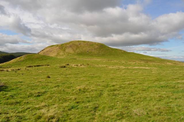
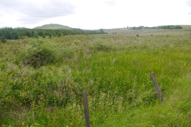
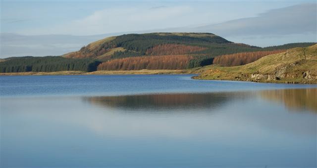
Craiggaveral is a prominent hill located in the county of Fife, Scotland. Situated near the village of Strathmiglo, it forms part of the Lomond Hills range, renowned for their scenic beauty and impressive geological features. Standing at an elevation of approximately 350 meters (1,150 feet), Craiggaveral offers stunning panoramic views of the surrounding countryside, making it a popular destination for hikers and nature enthusiasts.
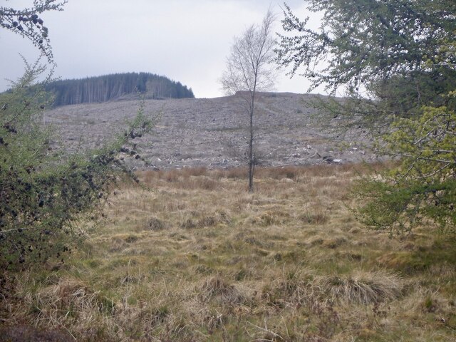
The hill is characterized by its gently sloping sides and distinctive rocky outcrops, which are remnants of ancient volcanic activity in the region. These volcanic formations contribute to the unique landscape and provide an opportunity for geologists to study the area's geological history.
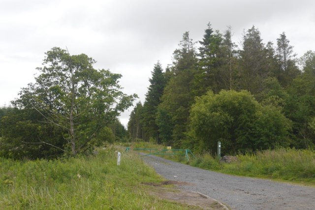
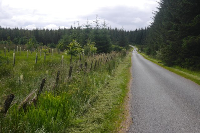
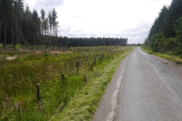
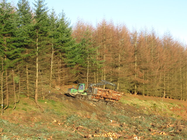
Craiggaveral is accessible via well-maintained footpaths that wind their way through the picturesque Lomond Hills Regional Park. The park, covering an area of 65 square kilometers (25 square miles), offers visitors a range of recreational activities, including walking, cycling, and wildlife spotting. Numerous species of birds, mammals, and plants can be found here, adding to the biodiversity of the area.
The hill is also of historical significance, with evidence of ancient settlements and fortifications dating back to the Iron Age. Archaeological excavations have revealed artifacts and structures that provide insights into the lives of the early inhabitants of the region.
Overall, Craiggaveral in Fife is a captivating destination that combines natural beauty, geological interest, and historical significance, making it a must-visit location for those exploring the scenic wonders of Scotland.
If you have any feedback on the listing, please let us know in the comments section below.
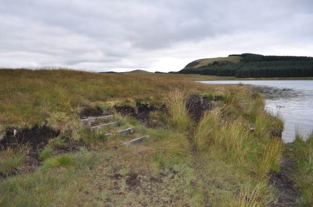
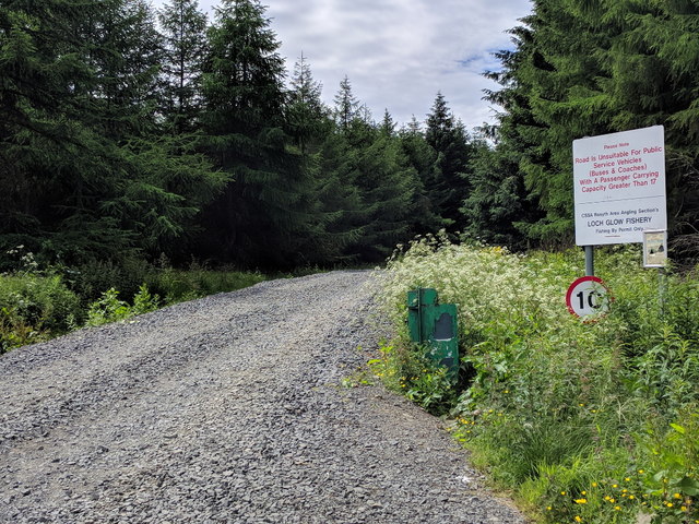
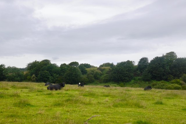
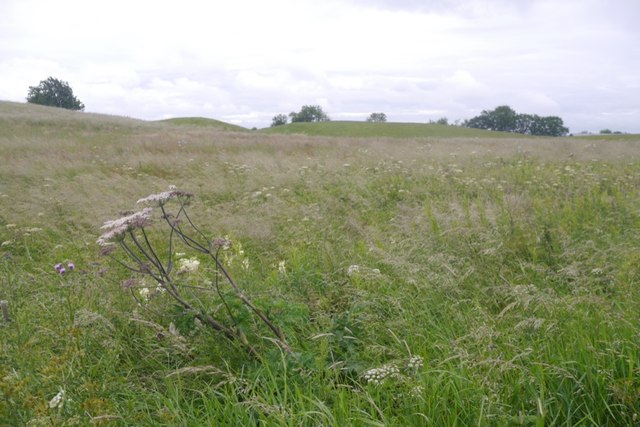
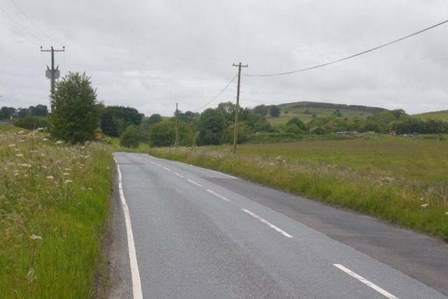
Craiggaveral Images
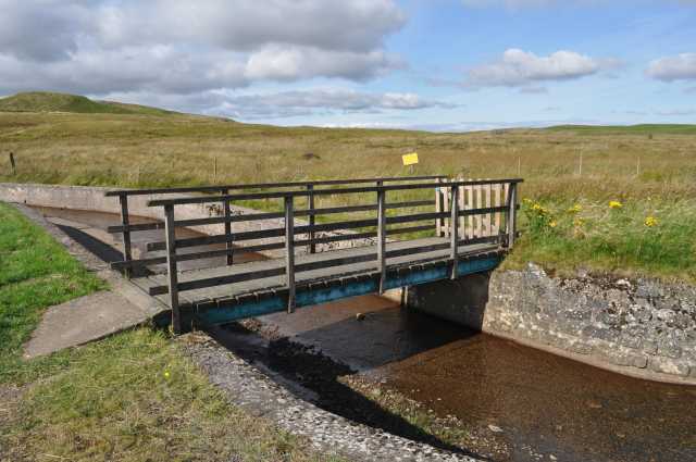
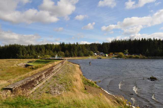
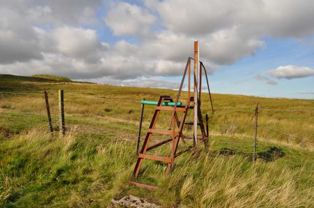
Images are sourced within 2km of 56.13284/-3.4609192 or Grid Reference NT0994. Thanks to Geograph Open Source API. All images are credited.

Craiggaveral is located at Grid Ref: NT0994 (Lat: 56.13284, Lng: -3.4609192)
Unitary Authority: Fife
Police Authority: Fife
What 3 Words
///estimated.coach.prouder. Near Kelty, Fife
Nearby Locations
Related Wikis

Black Devon
The Black Devon is a river in Scotland. It rises in the Cleish Hills, specifically the area known as Outh Muir, 1.5 kilometres (0.93 mi) north of Knockhill...

Scottish Vintage Bus Museum
The Scottish Vintage Bus Museum is a transport museum in Lathalmond, 2.5 miles north of Dunfermline, Fife. The museum is open every Sunday between April...

Knockhill
Knockhill Racing Circuit is a motor racing circuit in Fife, Scotland. It opened in September 1974 and is Scotland's national motorsport centre. The circuit...
Dumglow
Dumglow (379 m) is the highest peak of the Cleish Hills in Perth and Kinross, Scotland. It is located north of Dunfermline. An ancient fort lies on its...
Have you been to Craiggaveral?
Leave your review of Craiggaveral below (or comments, questions and feedback).