Cocklie Rig Head

Hill, Mountain in Peeblesshire

Scotland

Cocklie Rig Head

River Tweed, Patervan Seen from the new bridge on the timber road.
River Tweed, Patervan Credit: Richard Webb

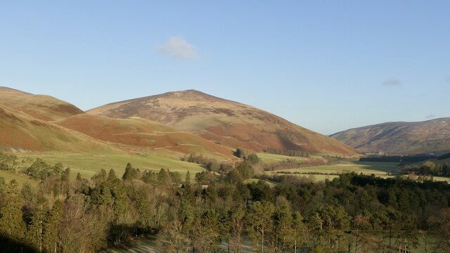
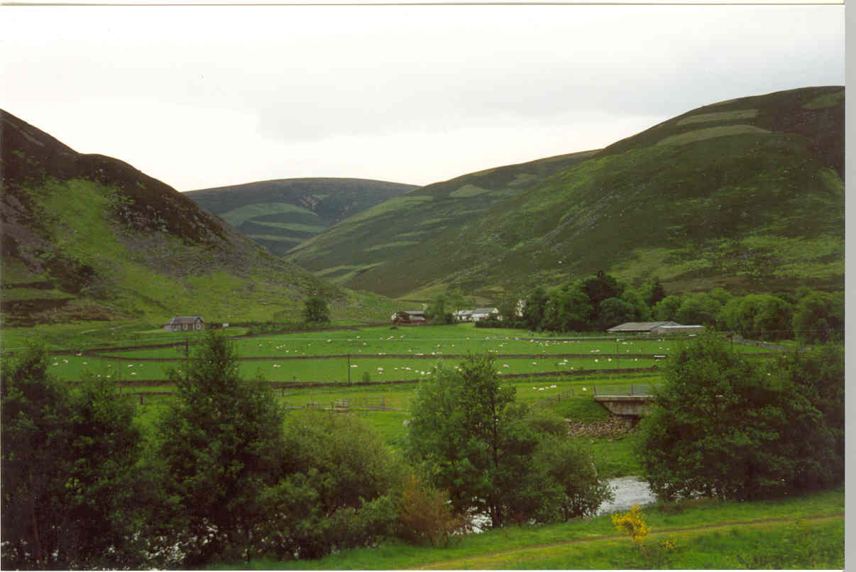
Cocklie Rig Head is a prominent hill located in Peeblesshire, a historic county in the Scottish Borders region of Scotland. Sitting at an elevation of approximately 512 meters (1,680 feet), it offers stunning panoramic views of the surrounding countryside.

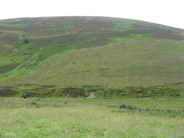
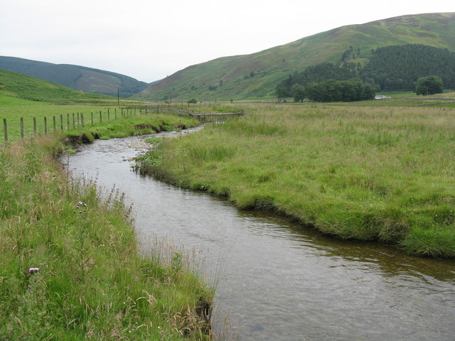
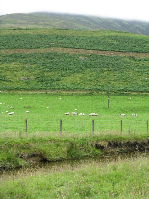
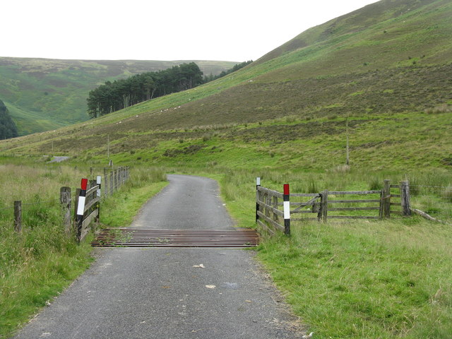
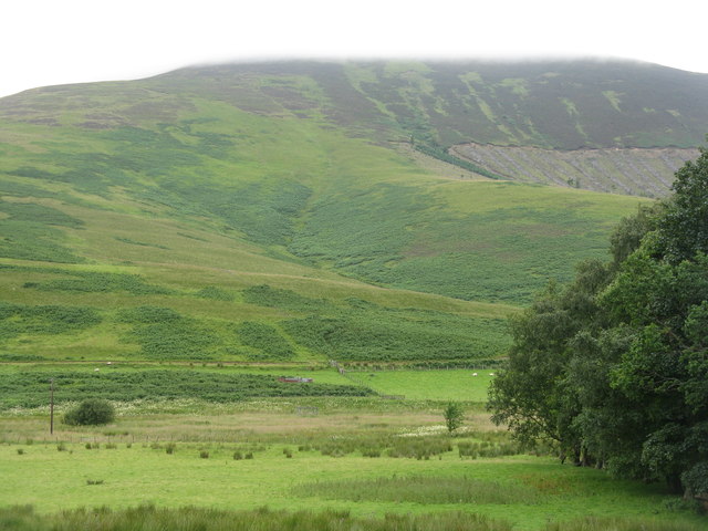
This hill is characterized by its distinctive conical shape and is covered in heather and grass, providing a picturesque landscape throughout the year. It is a popular destination for hikers and outdoor enthusiasts, offering various trails and paths to explore. Many visitors are drawn to Cocklie Rig Head for its challenging ascent, which rewards them with breathtaking vistas at the summit.

The hill is home to a diverse range of flora and fauna. It supports a variety of bird species, including peregrine falcons, buzzards, and kestrels, making it a haven for birdwatchers. The surrounding woodland is populated with oak, birch, and rowan trees, adding to the natural beauty of the area.

Cocklie Rig Head is also steeped in history, with evidence of human habitation dating back thousands of years. Nearby archaeological sites reveal remnants of ancient settlements and burial grounds, providing a glimpse into the region's rich cultural heritage.

Overall, Cocklie Rig Head is a cherished natural landmark in Peeblesshire, offering visitors an opportunity to immerse themselves in the beauty of the Scottish countryside while experiencing its historical significance.

If you have any feedback on the listing, please let us know in the comments section below.

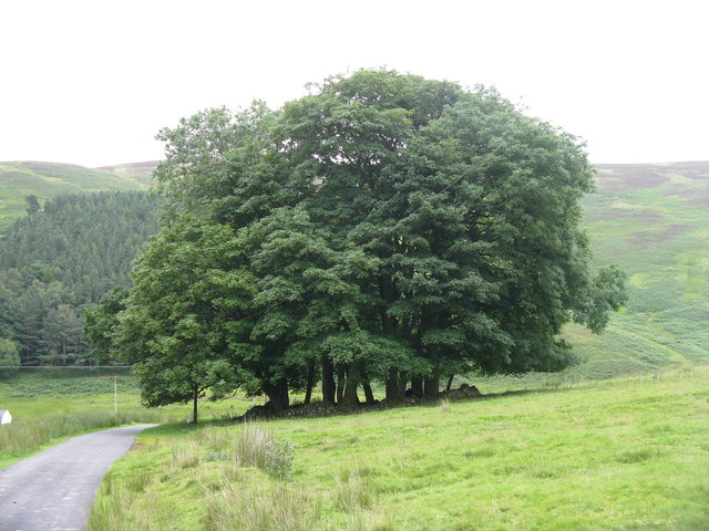
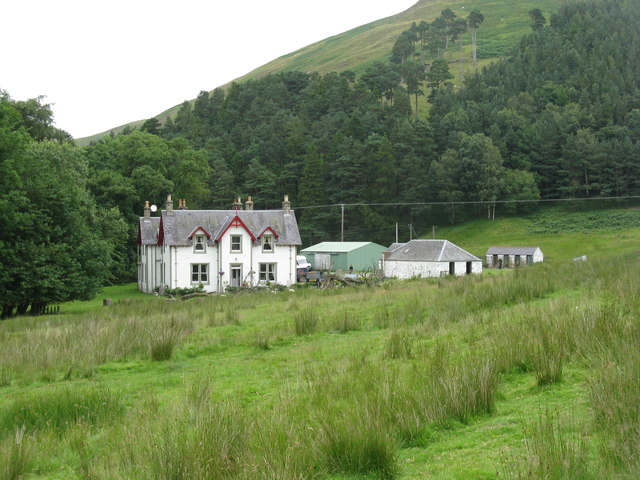
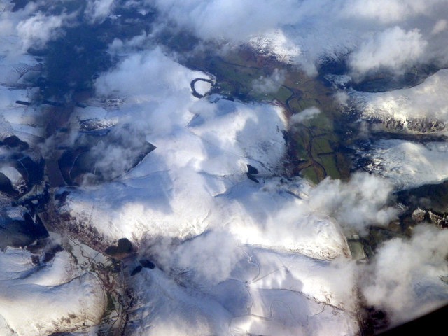
Cocklie Rig Head Images

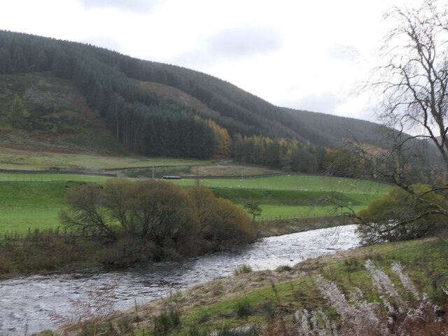
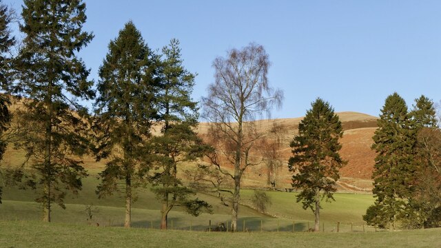
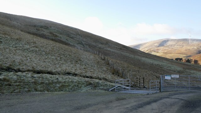
Images are sourced within 2km of 55.544475/-3.4410128 or Grid Reference NT0928. Thanks to Geograph Open Source API. All images are credited.

River Tweed, Patervan Seen from the new bridge on the timber road.
River Tweed, Patervan
Seen from the new bridge on the timber road.
Trees, Kingledores Mature trees beside the A701.
Trees, Kingledores
Mature trees beside the A701.
Wind farm road, Kingledores The glen above Kingledores is a very attractive place. Getting into it is easy with the newish road, but there is a bit of a climb over the spur of Nicklebeard Hill and all height gained gets lost immediately.
Wind farm road, Kingledores
The glen above Kingledores is a very attractive place. Getting into it is easy with the newish road, but there is a bit of a climb over the spur of Nicklebeard Hill and all height gained gets lost immediately.
Woodland around Kingledores View down Tweeddale towards Worm Hill over the woodlands around Kingledores. Taken from the high point of the wind farm road which bypasses the house and farm.
Woodland around Kingledores
View down Tweeddale towards Worm Hill over the woodlands around Kingledores. Taken from the high point of the wind farm road which bypasses the house and farm.
Gate on track between Glenkirk and Holms Waterhead The public road ends at Glenkirk, but a track continues on to Holms Waterhead.
Gate on track between Glenkirk and Holms Waterhead
The public road ends at Glenkirk, but a track continues on to Holms Waterhead.
Glenlood Hill With the valley of Nether Glenlood Burn.
Glenlood Hill
With the valley of Nether Glenlood Burn.
The gathering They suddenly came from nowhere, and were shepherded down the valley from Holms Waterhead.
The gathering
They suddenly came from nowhere, and were shepherded down the valley from Holms Waterhead.
Bank erosion on the Holms Water Looking up the valley of the Nether Glenlood Burn.
Bank erosion on the Holms Water
Looking up the valley of the Nether Glenlood Burn.
Track in Glen Holm Looking down the valley of the Holms Water to Glenkirk.
Track in Glen Holm
Looking down the valley of the Holms Water to Glenkirk.
Barrow Rig from Glenkirk Looking southeast across the Holms Water.
Barrow Rig from Glenkirk
Looking southeast across the Holms Water.
The valley of the Hope Burn Cloud covers the top of Chapelgill Hill.
The valley of the Hope Burn
Cloud covers the top of Chapelgill Hill.
The Holms Water Looking downstream to Glencotho.
The Holms Water
Looking downstream to Glencotho.
Pasture by the Holms Water With bracken-covered lower slopes of Chapelgill Hill beyond.
Pasture by the Holms Water
With bracken-covered lower slopes of Chapelgill Hill beyond.
Cattle grid in Glen Holm Looking down the valley.
Cattle grid in Glen Holm
Looking down the valley.
Clump of trees at Glencotho Surrounded by a low circular wall.
Clump of trees at Glencotho
Surrounded by a low circular wall.
Glencotho in Glen Holm The rightmost building is roadside kennels, with very alert dogs.
Glencotho in Glen Holm
The rightmost building is roadside kennels, with very alert dogs.
Glen Holm at Glencotho Looking across the valley of the Holms Water to the scar of cleared forestry on the western side of the glen.
Glen Holm at Glencotho
Looking across the valley of the Holms Water to the scar of cleared forestry on the western side of the glen.
Benshaw Hill from the air Benshaw Hill is in the foreground, with Glencotho to the left. The distant ring of trees is at Mossfennan, with the River Tweed to the right.
Benshaw Hill from the air
Benshaw Hill is in the foreground, with Glencotho to the left. The distant ring of trees is at Mossfennan, with the River Tweed to the right.
Show me another place!

Cocklie Rig Head is located at Grid Ref: NT0928 (Lat: 55.544475, Lng: -3.4410128)

Unitary Authority: The Scottish Borders

Police Authority: The Lothians and Scottish Borders

What 3 Words

///data.magnetic.spouse. Near Biggar, South Lanarkshire

Nearby Locations

Cocklie Rig Head

Related Wikis

A701 road

The A701 is a major road in Scotland that runs from Dumfries to Edinburgh. == Route == The A701 leaves Dumfries and travels north to meet the A74(M) east...

Polmood

Polmood is a small settlement in southern Scotland near Tweedsmuir in the Scottish Borders, in the valley of the River Tweed. Polmood was for many centuries...

Crook Inn

The Crook Inn is an inn in the Scottish Borders, near the village of Tweedsmuir on the A701 road between Broughton and Moffat. It is one of many claimants...

Stanhope, Peeblesshire

Stanhope is a small settlement in the Scottish Borders region. It is situated in the parish of Drumelzier in Peeblesshire, in the valley of the River...

Nearby Amenities

Located within 500m of 55.544475,-3.4410128
Generator Method: wind_turbine
Generator Output Electricity: yes
Generator Source: wind
Generator Type: horizontal_axis
Power: generator
Lat/Long: 55.5420366/-3.4363109
Generator Method: wind_turbine
Generator Source: wind
Generator Type: horizontal_axis
Power: generator
Lat/Long: 55.5432763/-3.4442589
Power: pole
Lat/Long: 55.5479605/-3.4448844
Power: pole
Lat/Long: 55.5474203/-3.4445116
Power: pole
Lat/Long: 55.5468103/-3.4441012
Power: pole
Lat/Long: 55.5462003/-3.4436989
Power: pole
Lat/Long: 55.5455857/-3.4432536
Power: pole
Lat/Long: 55.5449696/-3.442854
Generator Method: wind_turbine
Generator Source: wind
Generator Type: horizontal_axis
Power: generator
Lat/Long: 55.5475758/-3.4382745
Generator Method: wind_turbine
Generator Source: wind
Generator Type: horizontal_axis
Power: generator
Lat/Long: 55.5451959/-3.4397279
The data included in this document is from www.openstreetmap.org. The data is made available under ODbL.

Have you been to Cocklie Rig Head?

Leave your review of Cocklie Rig Head below (or comments, questions and feedback).