Beddugre Hill
Hill, Mountain in Radnorshire
Wales
Beddugre Hill

Beddugre Hill, located in Radnorshire, is a prominent hill/mountain that stands as a prominent feature in the beautiful Welsh countryside. Rising to an elevation of approximately 485 meters (1,591 feet), it offers stunning panoramic views of the surrounding landscape.
The hill is situated in the western part of Radnorshire, near the town of Rhayader, and is a popular destination for hikers, nature enthusiasts, and photographers. It is part of the wider Cambrian Mountains range and forms a significant peak in the region.
Beddugre Hill boasts a diverse range of flora and fauna, making it a haven for wildlife. The hillside is covered in lush grasslands, dotted with wildflowers during the warmer months. Visitors can spot various bird species, including red kites, buzzards, and peregrine falcons, soaring through the skies above.
The ascent to the summit is relatively moderate, featuring well-marked trails and footpaths. Once at the top, visitors are rewarded with breathtaking views of the Radnorshire countryside, with rolling hills, valleys, and rivers stretching out as far as the eye can see. On clear days, the views extend to the distant Brecon Beacons National Park and even the Snowdonia National Park.
Overall, Beddugre Hill provides a perfect opportunity to embrace the beauty of the Welsh countryside, offering a memorable experience for outdoor enthusiasts and nature lovers alike.
If you have any feedback on the listing, please let us know in the comments section below.
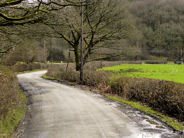
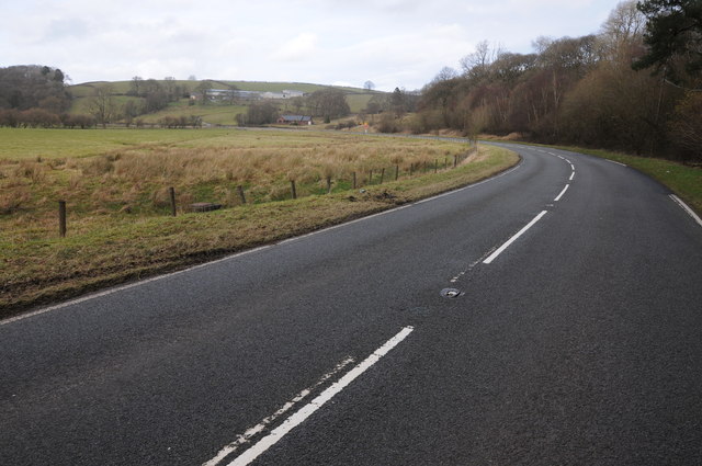
Beddugre Hill Images
Images are sourced within 2km of 52.320777/-3.3376761 or Grid Reference SO0870. Thanks to Geograph Open Source API. All images are credited.


Beddugre Hill is located at Grid Ref: SO0870 (Lat: 52.320777, Lng: -3.3376761)
Unitary Authority: Powys
Police Authority: Dyfed Powys
What 3 Words
///informed.overt.privately. Near Penybont, Powys
Nearby Locations
Related Wikis


Nearby Amenities
Located within 500m of 52.320777,-3.3376761Have you been to Beddugre Hill?
Leave your review of Beddugre Hill below (or comments, questions and feedback).