Y Glog
Hill, Mountain in Montgomeryshire
Wales
Y Glog

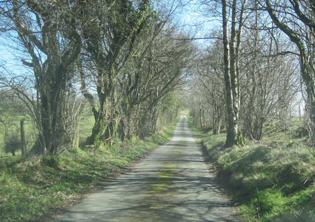
Y Glog, located in Montgomeryshire, is a prominent hill/mountain that holds great historical and geographical significance. With an elevation of approximately 487 meters (1,598 feet), it offers a commanding view of the surrounding landscape.
The hill/mountain is characterized by its gently sloping sides and a rounded summit, covered in heather and grass. It is composed primarily of sedimentary rocks, including sandstones and shales, giving it a unique and picturesque appearance.
Y Glog is situated within an area of outstanding natural beauty, surrounded by lush green valleys and rolling hills. The hill/mountain is part of the Berwyn range and lies within close proximity to other prominent peaks, such as Cadair Berwyn and Moel Sych.
This area has a rich history, with evidence of human activity dating back thousands of years. The hill/mountain has been used for various purposes throughout the centuries, including grazing for livestock and as a hunting ground. It also holds cultural significance, with ancient myths and legends associated with the area.
Y Glog is a popular destination for outdoor enthusiasts, offering a range of activities such as hiking, mountain biking, and birdwatching. The hill/mountain is home to a diverse range of wildlife, including red grouse, peregrine falcons, and mountain hares.
Overall, Y Glog is a captivating and historically significant hill/mountain, providing visitors with breathtaking views, outdoor recreational opportunities, and a glimpse into the rich heritage of Montgomeryshire.
If you have any feedback on the listing, please let us know in the comments section below.
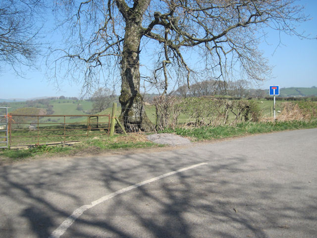
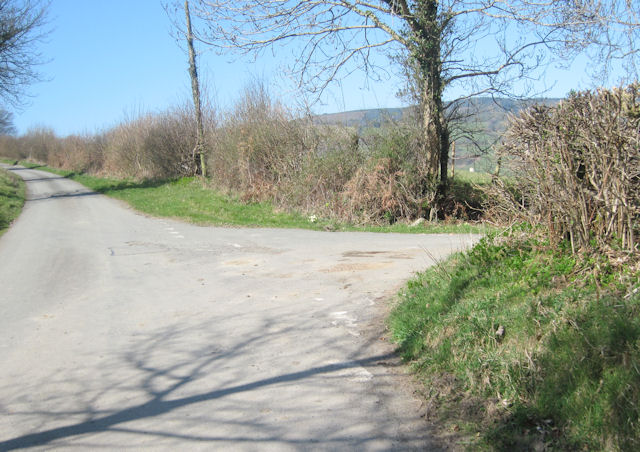
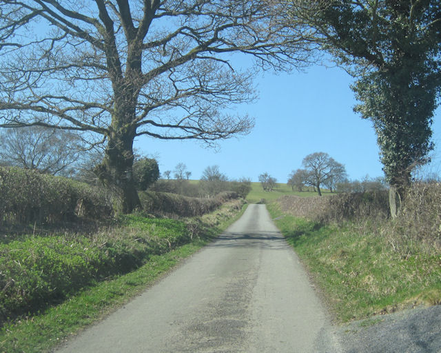
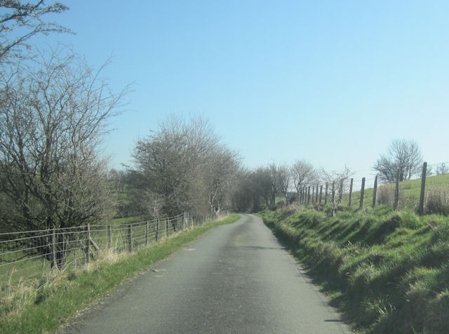
Y Glog Images
Images are sourced within 2km of 52.776393/-3.352288 or Grid Reference SJ0820. Thanks to Geograph Open Source API. All images are credited.


Y Glog is located at Grid Ref: SJ0820 (Lat: 52.776393, Lng: -3.352288)
Unitary Authority: Powys
Police Authority: Dyfed Powys
What 3 Words
///gladiator.snipped.complain. Near Llanfyllin, Powys
Nearby Locations
Related Wikis

Plynlimon and Hafan Tramway
The Plynlimon and Hafan Tramway was a 2 ft 3 in (686 mm) gauge narrow gauge railway in Cardiganshire (now Ceredigion) in Mid Wales. It ran from Llanfihangel...

Pen-y-Bont-Fawr
Pen-y-Bont-Fawr (or Penybontfawr) is a small village and community in Montgomeryshire, Powys, Wales located in the Tanat valley. In the 2011 UK Census...

Tomen yr Allt
Tomen yr Allt (or Domen yr Allt) was a Medieval motte and bailey defensive castle near Llanfyllin in Powys, Wales. "Tomen ar hallt" is modern Welsh for...
Llanfihangel-yng-Ngwynfa
Llanfihangel-yng-Ngwynfa () was a parish within the former historic county of Montgomeryshire. It now forms a major part of the community of Llanfihangel...
Penybontfawr railway station
Penybontfawr railway station was a station on the Tanat Valley Light Railway in Pen-y-bont-fawr, Powys, Wales. The station opened in 1904 and closed in...
Bodfach
Bodfach is a hamlet in the community of Llanfyllin, Powys, Wales, which is 89 miles (144 km) from Cardiff and 160 miles (257 km) from London.Nearby Bodfach...
Pedairffordd Halt railway station
Pedairffordd Halt railway station (alternatively Pedair-Ffordd Halt) was a station on the Tanat Valley Light Railway, located 1.3 miles south of Llanrhaeadr...

Llanfyllin
Llanfyllin (Welsh pronunciation: [ɬanˈvəɬɪn] – ) is a market town and community in Powys, Wales. The town population in 2021 was 1,586 and the town's...
Nearby Amenities
Located within 500m of 52.776393,-3.352288Have you been to Y Glog?
Leave your review of Y Glog below (or comments, questions and feedback).