Bettws Hill
Hill, Mountain in Montgomeryshire
Wales
Bettws Hill
Bettws Hill is a prominent hill located in the county of Montgomeryshire, Wales. With an elevation of approximately 402 meters (1,319 feet), it is considered a substantial hill and offers breathtaking views of the surrounding countryside.
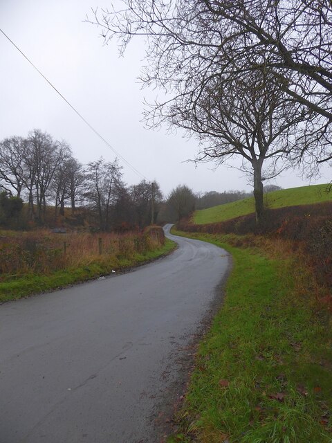
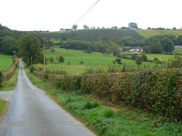
Situated near the village of Bettws Cedewain, the hill is a popular destination for hikers and nature enthusiasts. It is part of the expansive Powys uplands, which are known for their rugged beauty and unspoiled landscapes. The hill is characterized by its gently sloping sides, covered in lush grasses and occasional patches of heather.
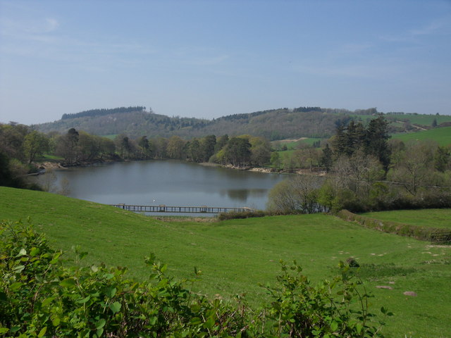
The summit of Bettws Hill provides panoramic views of the rolling hills and valleys that make up Montgomeryshire. On a clear day, visitors can see as far as the distant Cambrian Mountains, Snowdonia National Park, and even the outline of the Brecon Beacons in the south.
The hill is home to a variety of flora and fauna, including heathland species such as bilberry and heather. It also provides a habitat for numerous bird species, including buzzards and red kites, which can often be seen soaring overhead.
Bettws Hill is easily accessible via several footpaths and tracks that wind their way up its slopes. These paths offer a range of difficulties, making it suitable for both casual walkers and experienced hikers. The hill's tranquil setting and stunning views make it a perfect destination for those seeking a peaceful escape in the Montgomeryshire countryside.
If you have any feedback on the listing, please let us know in the comments section below.
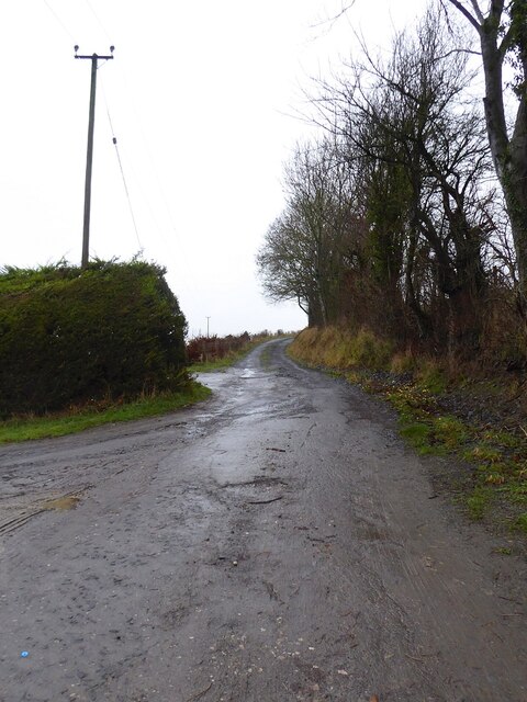
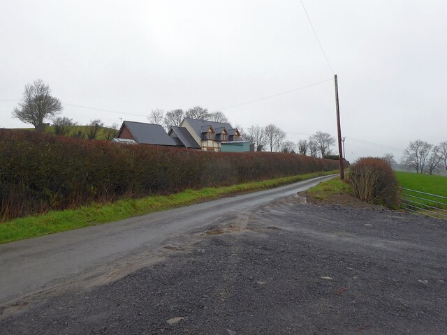
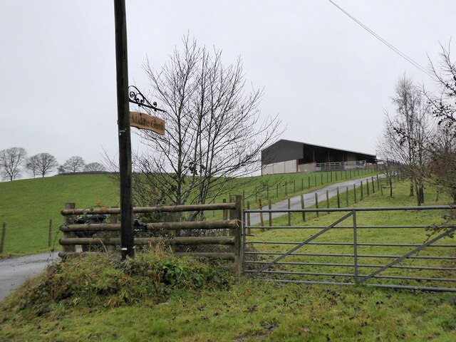
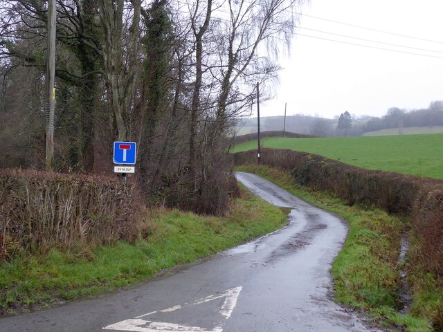
Bettws Hill Images
Images are sourced within 2km of 52.546835/-3.3466792 or Grid Reference SO0895. Thanks to Geograph Open Source API. All images are credited.


Bettws Hill is located at Grid Ref: SO0895 (Lat: 52.546835, Lng: -3.3466792)
Unitary Authority: Powys
Police Authority: Dyfed Powys
What 3 Words
///remarked.irritated.failed. Near Newtown, Powys
Nearby Locations
Related Wikis

Gregynog Hall
Gregynog (Welsh pronunciation: [ɡrɛˈɡənɔɡ]) is a large country mansion in the village of Tregynon, 4 miles (6.4 km) northwest of Newtown in the old county...

Newtown West (Powys electoral ward)
Newtown West (formerly Newtown Llanllwchaiarn West or Llanllwchaiarn West) is the name of an electoral ward in the community of Newtown and Llanllwchaiarn...
Aberhafesp
Aberhafesp is a small village and community in Montgomeryshire, Powys, Wales. The hamlet of Bwlch-y-Ffridd is within the community. It is situated about...
Tregynon
Tregynon is a small village and community in Montgomeryshire, Powys, Wales, to the north of Newtown and south west of Welshpool. The population of the...
Montgomery County Infirmary
Montgomery County Infirmary (Welsh: Ysbyty Sir Drefaldwyn) is a health facility in Llanfair Road, Newtown, Powys, Wales. It is managed by the Powys Teaching...
Llanllwchaiarn
Llanllwchaiarn or Llanllwchaearn (Welsh: [ɬanɬuːχaɨaːn]) in Welsh) is a village on the outskirts of Newtown in Powys, Wales. It forms part of the community...
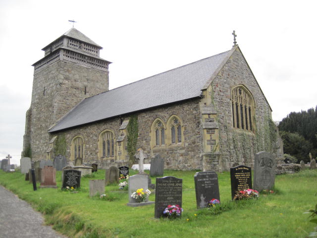
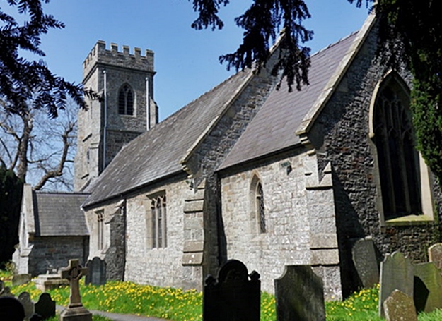
St Beuno's Church, Bettws Cedewain
St Beuno's Church, Bettws Cedewain lies within the historic county of Montgomeryshire in Powys. The church occupies a prominent position overlooking the...
Bettws Cedewain
Bettws Cedewain (Welsh: Betws Cedewain), also known as Bettws Cedewen, is a small village and community in Montgomeryshire, Powys, Wales. It lies in a...
Nearby Amenities
Located within 500m of 52.546835,-3.3466792Have you been to Bettws Hill?
Leave your review of Bettws Hill below (or comments, questions and feedback).