Bad Each
Hill, Mountain in Morayshire
Scotland
Bad Each

Bad Each is a prominent hill located in the region of Morayshire, Scotland. It is part of the larger range known as the Grampian Mountains, which run across the eastern part of the country. Rising to an elevation of approximately 1,548 feet (472 meters), Bad Each offers stunning panoramic views of the surrounding landscapes.
The hill is characterized by its rugged and rocky terrain, making it a popular destination for outdoor enthusiasts and hikers seeking a challenging ascent. Its steep slopes and jagged ridges provide an exciting and rewarding experience for those looking to explore the area.
Bad Each is known for its diverse flora and fauna, offering a habitat for a variety of plant and animal species. The hillside is adorned with heather, grasses, and wildflowers, adding splashes of color to the landscape during the summer months.
While the summit of Bad Each is often shrouded in mist and clouds, on clear days, it offers breathtaking views of the surrounding countryside. From the top, visitors can see the rolling hills of Morayshire, the sparkling waters of the nearby Lochindorb, and even catch glimpses of the distant Cairngorms National Park.
Access to Bad Each is relatively easy, with a well-marked path leading to the summit. However, it is important for visitors to come prepared with appropriate hiking gear and to be cautious of changing weather conditions, as the hill can be subject to strong winds and sudden changes in visibility.
In conclusion, Bad Each in Morayshire, Scotland, is a captivating hill that provides a challenging hiking experience and offers stunning views of the surrounding landscapes. Its rugged terrain and diverse flora and fauna make it a must-visit destination for nature lovers and outdoor enthusiasts alike.
If you have any feedback on the listing, please let us know in the comments section below.
Bad Each Images
Images are sourced within 2km of 57.402952/-3.5212709 or Grid Reference NJ0835. Thanks to Geograph Open Source API. All images are credited.


Bad Each is located at Grid Ref: NJ0835 (Lat: 57.402952, Lng: -3.5212709)
Unitary Authority: Highland
Police Authority: Highlands and Islands
What 3 Words
///dreamers.delays.nowadays. Near Grantown-on-Spey, Highland
Nearby Locations
Related Wikis

Advie
Advie (Scottish Gaelic: Àbhaidh) is a small village in Strathspey, in the Highland Council Area of Scotland. It lies to the south of the River Spey, and...

Advie railway station
Advie railway station served the village of Advie, Morayshire, in Scotland. == History == Opened by the Strathspey Railway (GNoSR), it was absorbed by...

Dalvey Farm Halt railway station
Dalvey Farm Halt railway station was one of four halts, Imperial Cottages, Gibley's Cottages, Dalvey Farm, and Ballifurth Farm, opened on the Speyside...

Tormore distillery
Tormore distillery is a Speyside single malt Scotch whisky distillery located approximately 1 km south of the River Spey. Its water source is the Allt...

Castle Grant
Castle Grant stands a mile north of Grantown-on-Spey and was the former seat of the Clan Grant chiefs of Strathspey in Highlands, Scotland. It was originally...
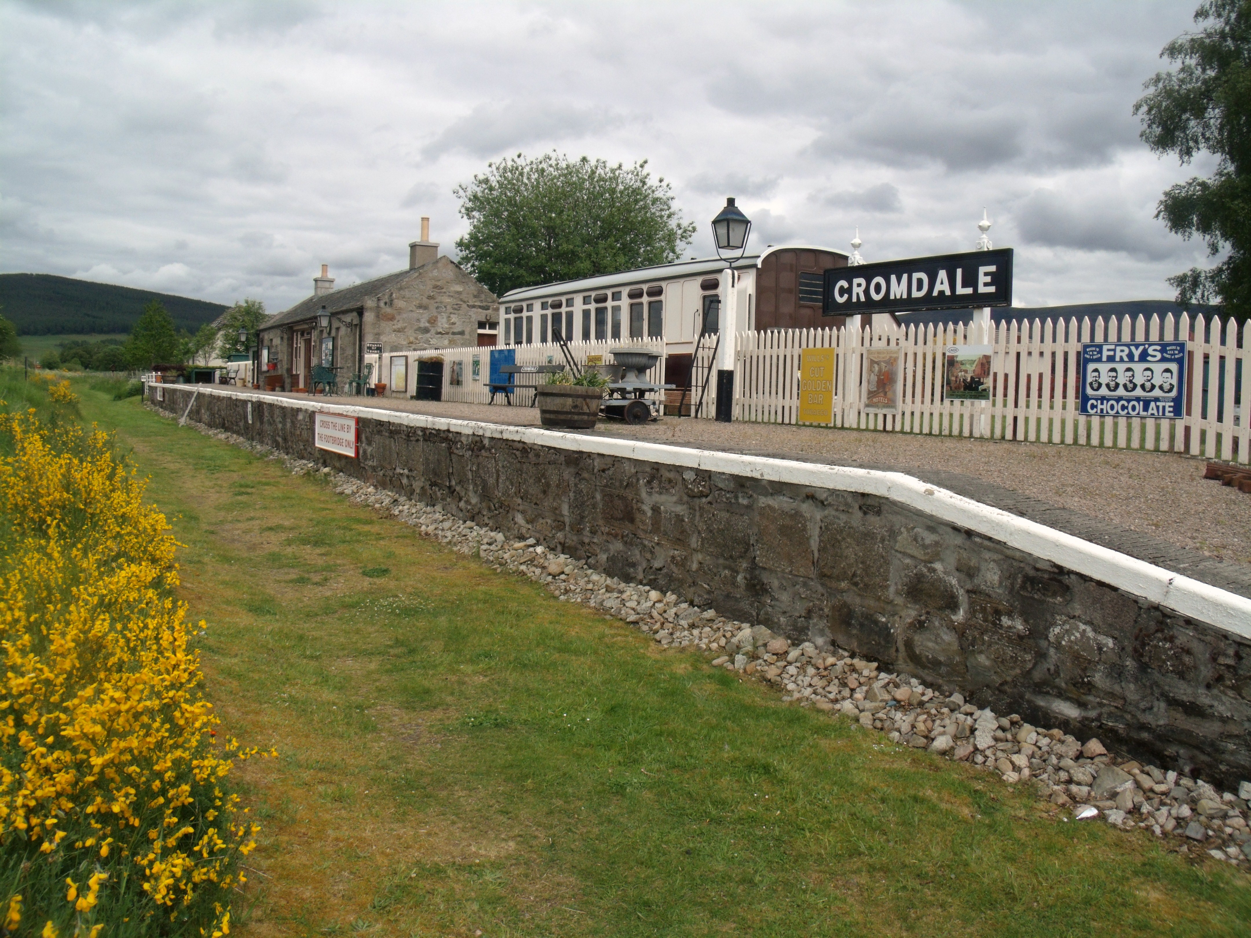
Cromdale railway station
Cromdale railway station served the village of Cromdale, Highland, in Scotland. == History == The station was opened by the Strathspey Railway (GNoSR)...
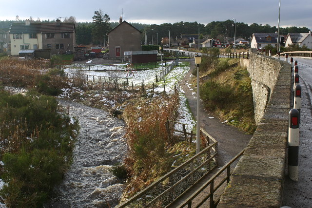
Cromdale
Cromdale (Scottish Gaelic: Cromdhail, from crom 'crooked' and dal 'valley, dale') is a village in Strathspey, in the Highland council area of Scotland...

Cragganmore distillery
Cragganmore distillery is a Scotch whisky distillery situated in the village of Ballindalloch in Banffshire, Scotland. == History == The distillery was...
Nearby Amenities
Located within 500m of 57.402952,-3.5212709Have you been to Bad Each?
Leave your review of Bad Each below (or comments, questions and feedback).