Bryn-llus
Hill, Mountain in Merionethshire
Wales
Bryn-llus

Bryn-llus, located in Merionethshire, is a picturesque hill that stands tall in the beautiful region of Wales. Situated in the northern part of the country, it is known for its stunning landscapes and breathtaking views. With an elevation of approximately 550 meters (1800 feet), Bryn-llus is classified as a mountain rather than a hill.
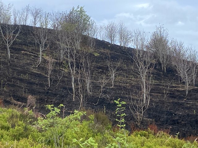
The mountain is characterized by its rugged terrain, covered with heather and grasses, creating a vibrant green carpet during the warmer months. Its slopes are moderately steep, making it a popular destination for hikers and outdoor enthusiasts looking for a challenging yet rewarding experience. As visitors ascend the mountain, they are treated to panoramic views of the surrounding countryside, including the neighboring peaks of Snowdonia National Park.
Bryn-llus is also home to a diverse range of flora and fauna. The hillside supports a variety of plant species, including heather, bilberry, and gorse, adding bursts of color to the landscape. Wildlife enthusiasts may spot birds such as red grouse, skylarks, and peregrine falcons, as well as mammals like mountain hares and foxes.
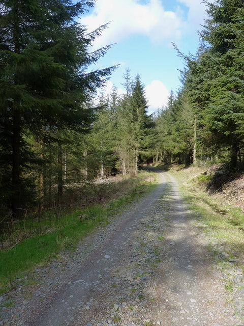
The mountain is easily accessible, with several footpaths and trails leading to its summit. These routes vary in difficulty, catering to both experienced hikers and those seeking a more leisurely stroll. It is advisable to check weather conditions and come prepared with appropriate clothing and equipment, as the climate can be unpredictable at higher altitudes.
Overall, Bryn-llus is a captivating destination for nature lovers and adventure seekers, offering a rewarding experience amidst the natural beauty of Merionethshire.
If you have any feedback on the listing, please let us know in the comments section below.
Bryn-llus Images
Images are sourced within 2km of 52.957543/-3.3625346 or Grid Reference SJ0840. Thanks to Geograph Open Source API. All images are credited.


Bryn-llus is located at Grid Ref: SJ0840 (Lat: 52.957543, Lng: -3.3625346)
Unitary Authority: Denbighshire
Police Authority: North Wales
What 3 Words
///tightest.apart.advancing. Near Llandrillo, Denbighshire
Nearby Locations
Related Wikis
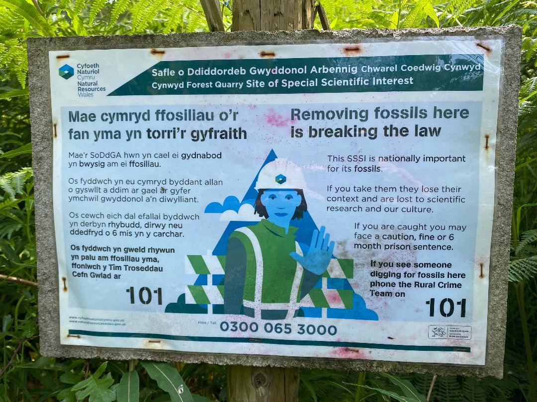
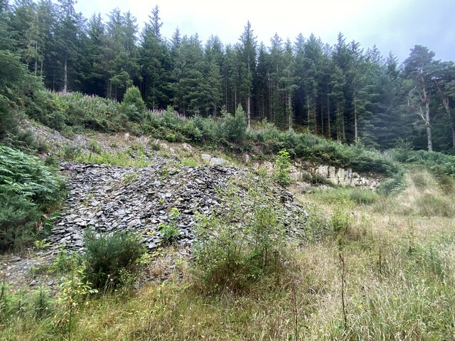
Cynwyd Forest Quarry
Sometimes referred to in literature as 'Bwlch y Gaseg' and in very close proximity to the area named as such on OS Map (six-inch to the mile) 1888-1913...

SS Mael and Sulien's Church, Corwen
Saint Mael and Saint Sulien's Church is a church located in the town of Corwen in Denbighshire in Wales. It was formerly located in the ancient county...

Penarth Quarry
Penarth Quarry is a quarry and a Site of Special Scientific Interest in the preserved county of Clwyd, north Wales. == See also == List of Sites of Special...

Llangar Church
Llangar Church, or All Saints Old Parish Church, Llangar, was formerly the parish church of Llangar with Cynwyd, in the Dee Valley, Denbighshire, North...
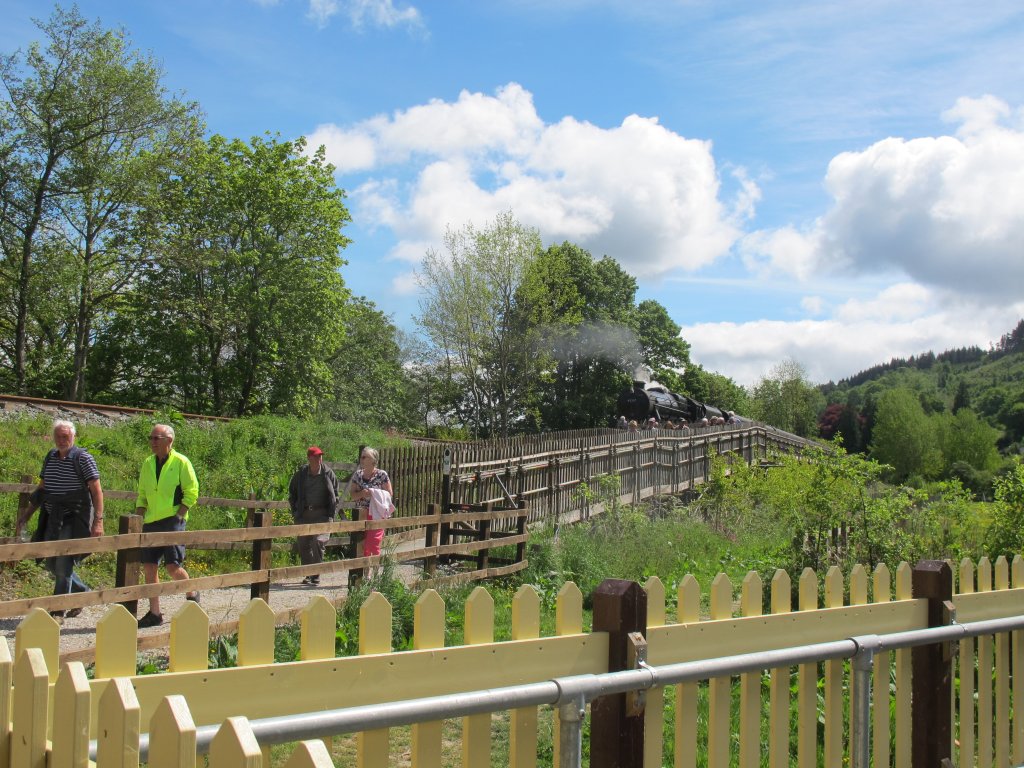
Corwen East railway station
Corwen East railway station in the town of Corwen, Denbighshire, Wales, was a temporary station on the former Ruabon to Barmouth Line. It was the western...

Corwen
Corwen is a town and community in the county of Denbighshire in Wales. Historically, Corwen was part of the county of Merionethshire. Corwen stands on...

Llangar
Llangar is a former civil parish in Denbighshire in Wales, 1 mile (1.6 km) south west of Corwen, its post town, and 10 miles (16 km) north east of Bala...
Bonwm Halt railway station
Bonwm Halt (Pron: Bon-oom) in Denbighshire, Wales, was a minor station on the Ruabon to Barmouth line. Situated on the south side of the line alongside...
Nearby Amenities
Located within 500m of 52.957543,-3.3625346Have you been to Bryn-llus?
Leave your review of Bryn-llus below (or comments, questions and feedback).