Gallow Law
Hill, Mountain in Peeblesshire
Scotland
Gallow Law

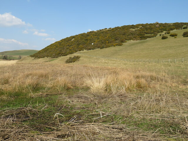
Gallow Law, located in Peeblesshire, Scotland, is a prominent hill/mountain that stands at an elevation of approximately 1,100 feet (335 meters). Situated in the southern part of the county, Gallow Law is part of the larger Moorfoot Hills range and offers breathtaking panoramic views of the surrounding countryside.
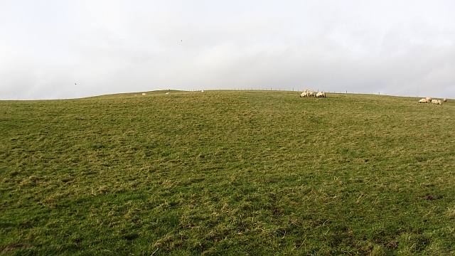
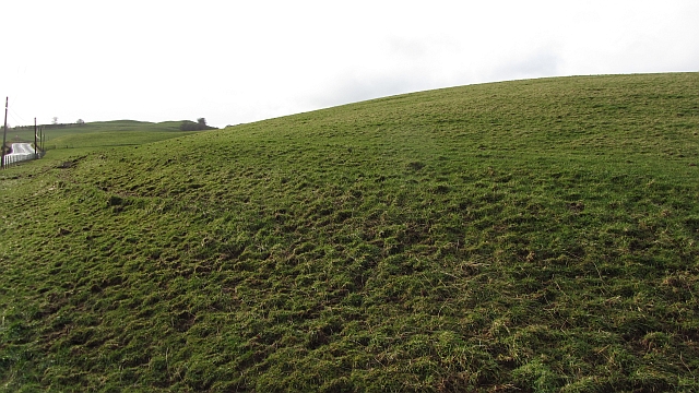
The hill/mountain is characterized by its distinct conical shape and is covered in lush green vegetation, primarily consisting of heather and grasses. The terrain is relatively gentle, making it accessible to hikers of various levels of experience.
Gallow Law is a popular destination for outdoor enthusiasts, attracting both locals and tourists alike. The hill/mountain provides opportunities for a wide range of recreational activities, including hillwalking, hiking, and nature photography. Its proximity to Peebles, a historic town known for its charming architecture and picturesque setting, adds to its appeal as a visitor attraction.
The summit of Gallow Law offers unobstructed panoramic views of the surrounding countryside, including the rolling hills, valleys, and woodlands of Peeblesshire. On a clear day, it is possible to see as far as the River Tweed, which meanders through the region. The summit also provides a fantastic vantage point for observing local wildlife, such as red grouse and various bird species.
With its natural beauty and accessibility, Gallow Law is a must-visit destination for those seeking tranquility, stunning views, and a connection with nature in the heart of Peeblesshire.
If you have any feedback on the listing, please let us know in the comments section below.
Gallow Law Images
Images are sourced within 2km of 55.646204/-3.4589372 or Grid Reference NT0840. Thanks to Geograph Open Source API. All images are credited.

![Candy Burn ford and footbridge The boundary between the Scottish Borders [this side] and South Lanarkshire [across the burn]. On the road from Skirling and Cambwell to the main A702 Biggar to Edinburgh road.](https://s1.geograph.org.uk/geophotos/07/12/73/7127345_c67d4f51.jpg)


Gallow Law is located at Grid Ref: NT0840 (Lat: 55.646204, Lng: -3.4589372)
Unitary Authority: The Scottish Borders
Police Authority: The Lothians and Scottish Borders
What 3 Words
///darts.scare.lunge. Near Biggar, South Lanarkshire
Nearby Locations
Related Wikis

Skirling
Skirling is a parish, community council area and village in Peeblesshire in the Scottish Borders situated 2+1⁄2 miles east of Biggar in Lanarkshire. Biggar...

Brownsbank
Brownsbank (Brounsbank in Scots) is a cottage close to the small settlement of Candymill to the north of Biggar in Scotland. It is best known as the former...
Elsrickle
Elsrickle is a village in South Lanarkshire, Scotland. It lies on Blackmount Hill, which is at the end of the Pentland Hills. An elrick is an old place...
Broughton Place, Scottish Borders
Broughton Place is a historic house in the village of Broughton, Scottish Borders. It was designed by Basil Spence in the style of a 17th-century Scottish...
Nearby Amenities
Located within 500m of 55.646204,-3.4589372Have you been to Gallow Law?
Leave your review of Gallow Law below (or comments, questions and feedback).