Horsham St Faith
Settlement in Norfolk Broadland
England
Horsham St Faith

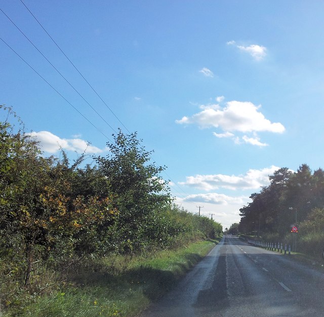
Horsham St Faith is a village located in the county of Norfolk, England. Situated approximately six miles north of the city of Norwich, it falls within the district of Broadland. The village is surrounded by picturesque countryside, offering residents and visitors a peaceful and idyllic setting.
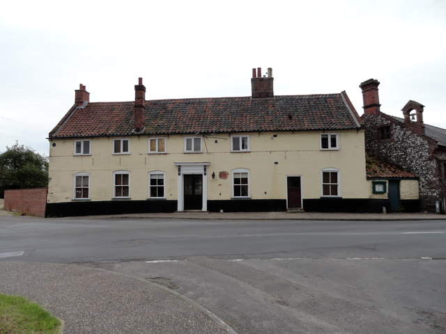
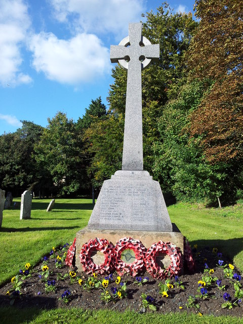
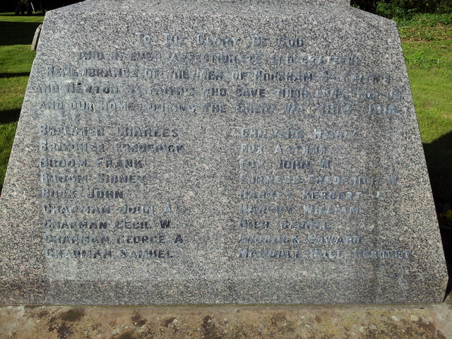
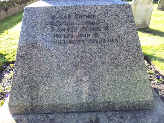
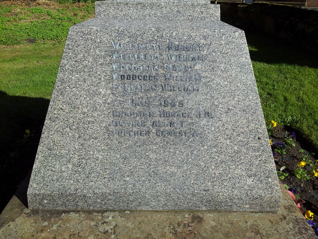
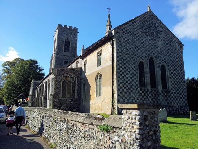
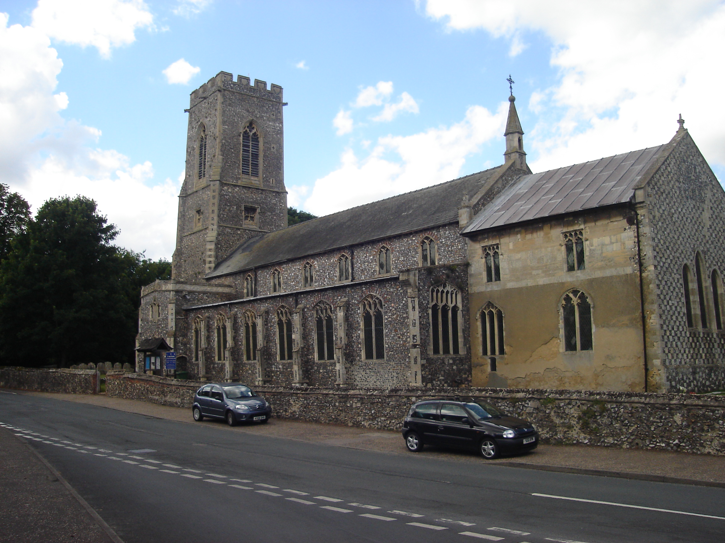
Horsham St Faith has a rich history, with evidence of human habitation in the area dating back to the Roman period. The village is named after the nearby St Faith's Church, a beautiful medieval building that serves as a focal point for the community.
The village itself is small, with a population of around 1,000 people. It offers a range of amenities to cater to the needs of its residents, including a primary school, a village hall, and a local pub. The village also benefits from excellent transport links, with the Norwich International Airport located nearby, making it an ideal location for those who frequently travel by air.
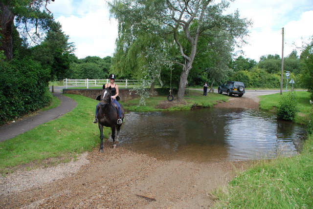
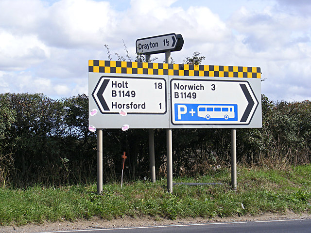
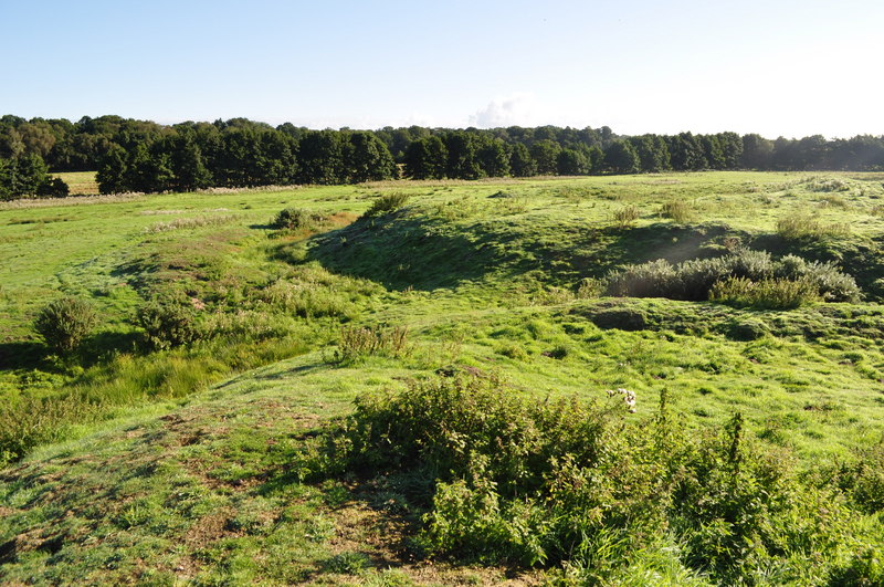
Horsham St Faith is surrounded by stunning natural landscapes, making it a popular destination for outdoor enthusiasts. The nearby Bure Marshes National Nature Reserve and Horstead Mill offer opportunities for walking, birdwatching, and fishing. The village is also well-connected to the wider region, with the city of Norwich just a short drive away, offering a wide range of cultural, shopping, and entertainment options.
Overall, Horsham St Faith is a charming village that combines a rich history, a strong sense of community, and a beautiful natural environment, making it an attractive place to live or visit.
If you have any feedback on the listing, please let us know in the comments section below.
Horsham St Faith Images
Images are sourced within 2km of 52.687791/1.2782212 or Grid Reference TG2115. Thanks to Geograph Open Source API. All images are credited.


Horsham St Faith is located at Grid Ref: TG2115 (Lat: 52.687791, Lng: 1.2782212)
Administrative County: Norfolk
District: Broadland
Police Authority: Norfolk
What 3 Words
///choice.rash.sank. Near Spixworth, Norfolk
Nearby Locations
Related Wikis
Horsham St Faith
Horsham St Faith is a village in Norfolk, England. The village lies close and to the east of the A140 road and is 5 miles (8.0 km) north of Norwich and...

Horsham St Faith and Newton St Faith
Horsham St Faith and Newton St Faith is a civil parish in the English county of Norfolk, consisting of the former parishes of Horsham St Faith and Newton...

City of Norwich Aviation Museum
The City of Norwich Aviation Museum is a volunteer-run museum and charitable trust dedicated to the preservation of the aviation history of the county...
Horsford Castle
Horsford Castle is situated in the village of Horsford, 6 miles to the north of the city of Norwich. == Details == Before the Norman conquest of England...
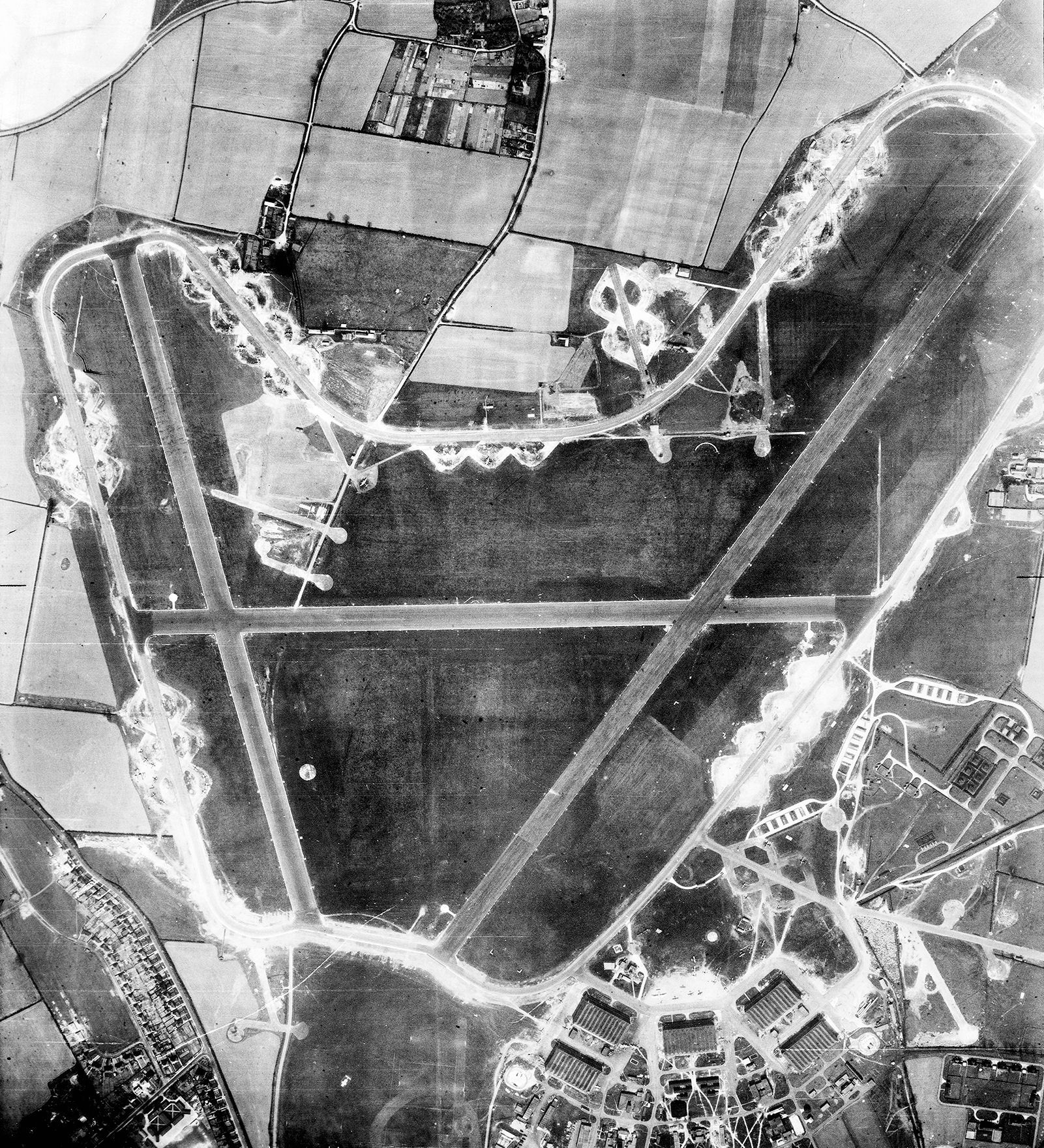
RAF Horsham St Faith
Royal Air Force Horsham St Faith or more simply RAF Horsham St Faith is a former Royal Air Force station near Norwich, Norfolk, England which was operational...
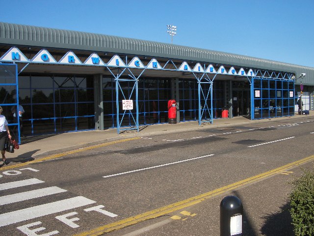
Norwich Airport
Norwich Airport (IATA: NWI, ICAO: EGSH) is an international airport in Hellesdon, Norfolk, England, 2.5 miles (4.0 kilometres) north of the city of Norwich...

Manor Park, Horsford
Manor Park is a cricket ground in Horsford, Norfolk. The ground is the main home ground of Norfolk County Cricket Club. The first recorded match on the...

Dussindale & Hellesdon Rovers F.C.
Dussindale & Hellesdon Rovers Football Club is a football club based in Norwich, England. They are currently members of the Eastern Counties League Division...
Nearby Amenities
Located within 500m of 52.687791,1.2782212Have you been to Horsham St Faith?
Leave your review of Horsham St Faith below (or comments, questions and feedback).