Foulknott Hill
Hill, Mountain in Cumberland Allerdale
England
Foulknott Hill
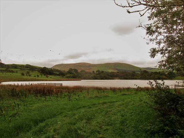
Foulknott Hill is a prominent natural feature located in Cumberland, a county in the northwest of England. It is categorized as a hill or mountain, depending on the definition used, and sits within the picturesque Lake District National Park.
Rising to an elevation of approximately 1,875 feet (571 meters), Foulknott Hill offers breathtaking panoramic views of the surrounding landscape. The hill is composed mainly of sedimentary rocks, including sandstone and limestone, which have been shaped by weathering and glacial activity over millions of years.
The hill's slopes are covered in lush vegetation, including heather, grasses, and scattered patches of woodland. It is home to a diverse range of plant species, such as bilberry and purple saxifrage, which thrive in the hill's acidic soil. The hillside also provides a habitat for various animal species, including red deer, birds of prey, and smaller mammals.
Foulknott Hill has become a popular destination for hikers and outdoor enthusiasts due to its accessibility and stunning vistas. Several well-marked trails traverse the hill, offering visitors the opportunity to explore its natural beauty and observe the local flora and fauna. The hill's rugged terrain and challenging gradients also attract rock climbers and mountaineers seeking a more exhilarating experience.
Overall, Foulknott Hill in Cumberland is a captivating natural landmark that showcases the beauty and diversity of the Lake District region. Its rich geological history, abundant wildlife, and awe-inspiring views make it a must-visit destination for nature lovers and adventurers alike.
If you have any feedback on the listing, please let us know in the comments section below.
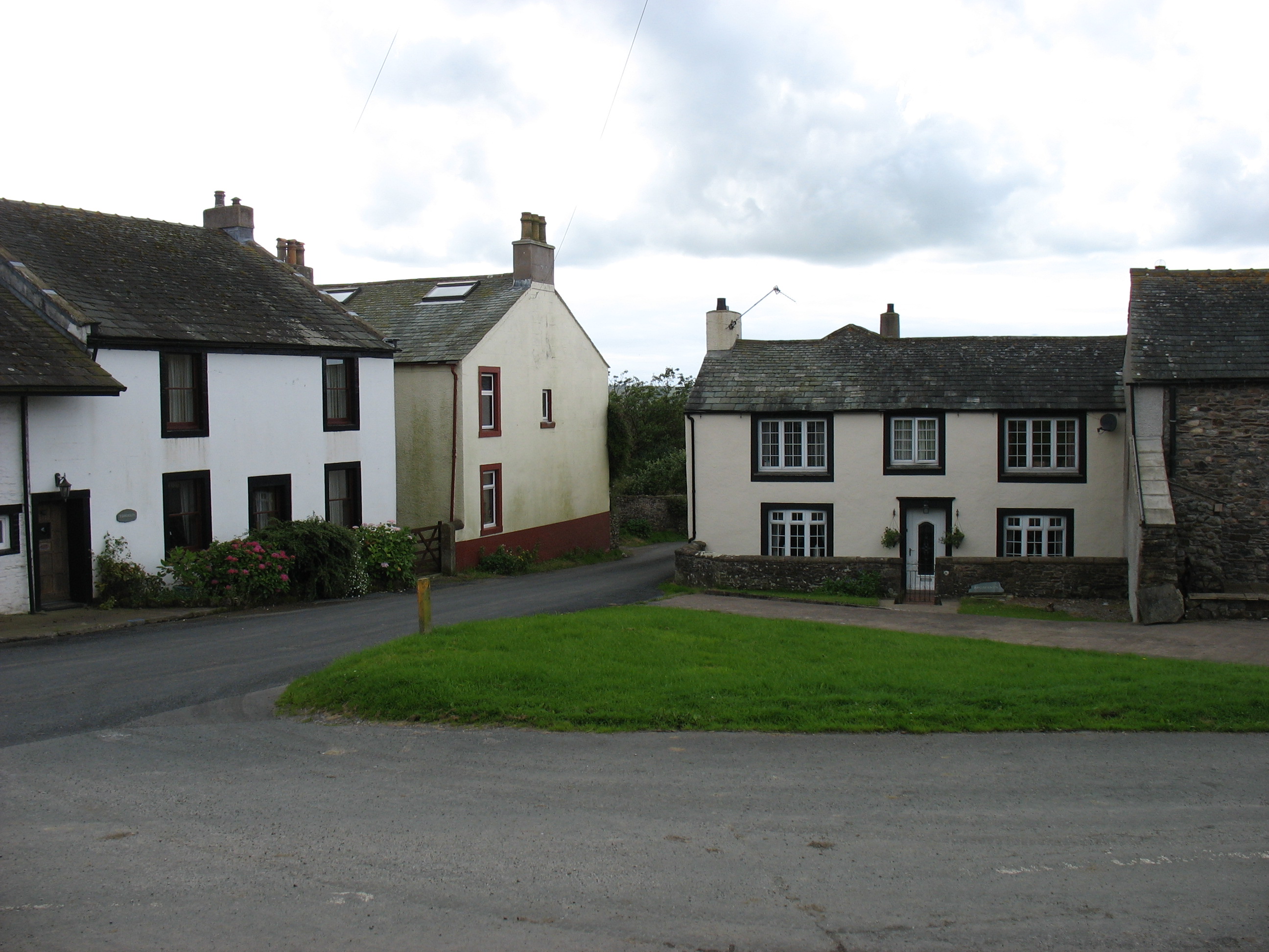
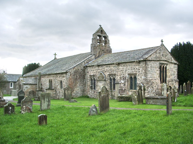
Foulknott Hill Images
Images are sourced within 2km of 54.601081/-3.4250151 or Grid Reference NY0823. Thanks to Geograph Open Source API. All images are credited.


Foulknott Hill is located at Grid Ref: NY0823 (Lat: 54.601081, Lng: -3.4250151)
Administrative County: Cumbria
District: Allerdale
Police Authority: Cumbria
What 3 Words
///clarifies.limit.forget. Near Distington, Cumbria
Nearby Locations
Related Wikis

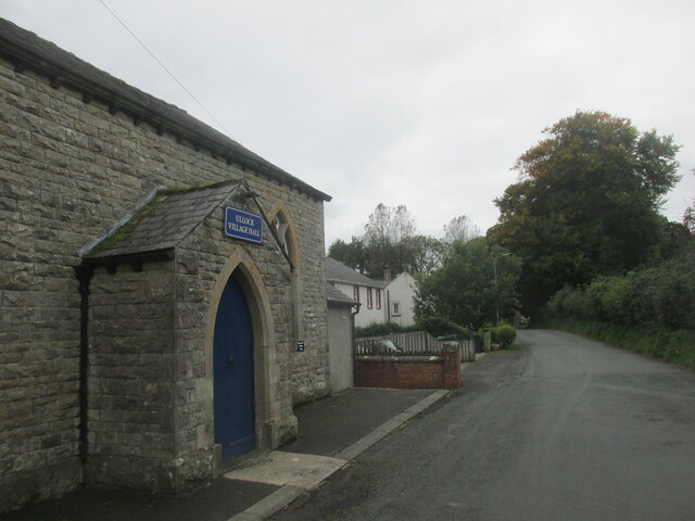
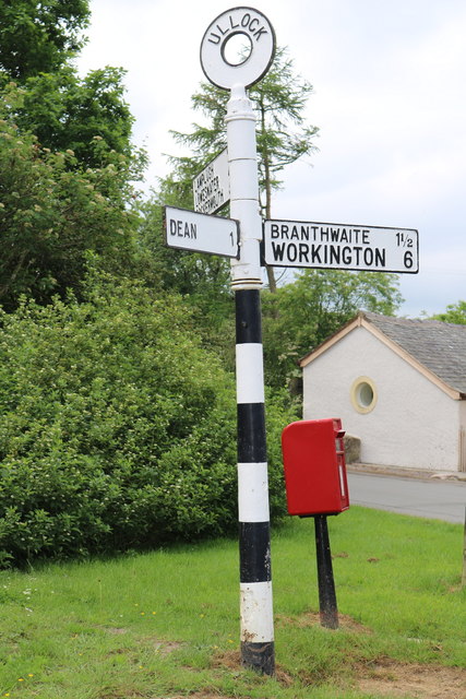
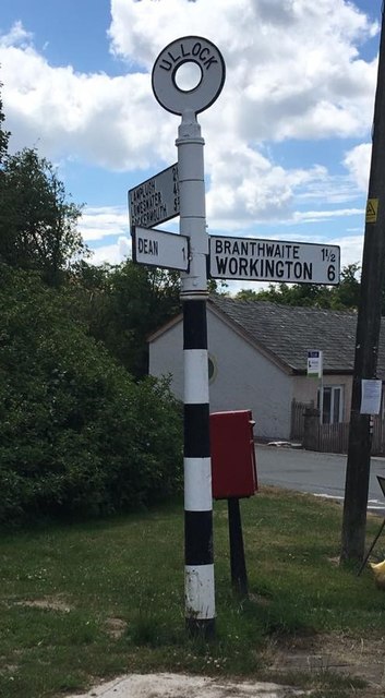
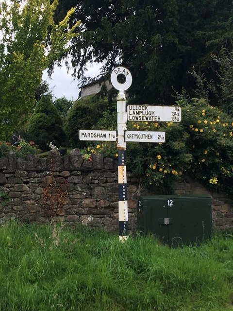
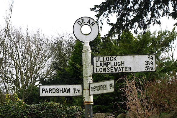
Ullock
Ullock is a village in Cumbria, England, located at National Grid reference NY076239, approximately 5 miles (8.0 km) south west of Cockermouth and 5.4...

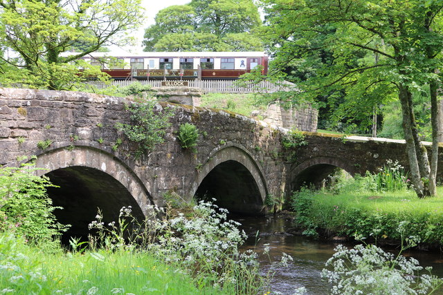
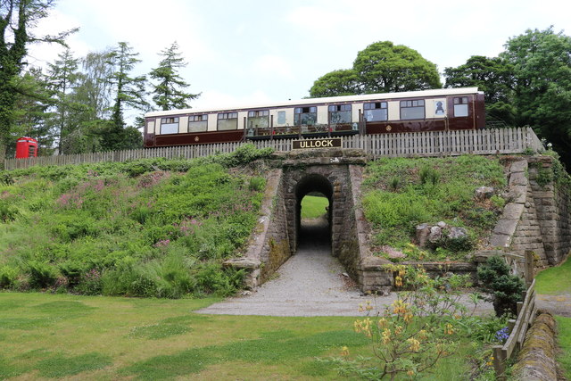
Ullock railway station
Ullock railway station was built by the Whitehaven, Cleator and Egremont Railway. It served the village of Ullock, Cumbria, England. == History == The...
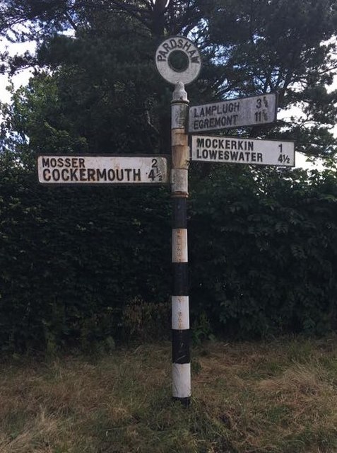
Mockerkin
Mockerkin is a settlement in the English county of Cumbria. Historically part of Cumberland, it is situated just outside the Lake District National Park...
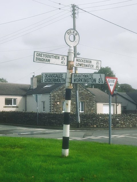
Dean, Cumbria
Dean is a village and civil parish in the county of Cumbria, England. Dean has a Church of England school, a church called St Oswald's. Nearby settlements...
Nearby Amenities
Located within 500m of 54.601081,-3.4250151Have you been to Foulknott Hill?
Leave your review of Foulknott Hill below (or comments, questions and feedback).