Baulk Hill
Hill, Mountain in Perthshire
Scotland
Baulk Hill

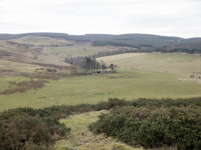
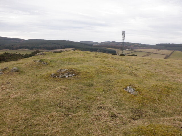
Baulk Hill, located in Perthshire, Scotland, is a significant landmark in the region. Rising to an elevation of approximately 500 meters (1,640 feet), it is classified as a hill rather than a mountain. Situated in the picturesque countryside, Baulk Hill offers breathtaking panoramic views of the surrounding area.
The hill is characterized by its gentle slopes, covered in verdant grass and occasional patches of heather. While not particularly challenging in terms of ascent, Baulk Hill provides a pleasant and accessible hiking experience for outdoor enthusiasts of all abilities. The well-maintained paths and trails make it an ideal location for leisurely walks and family outings.
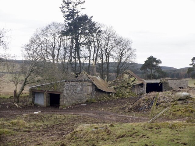
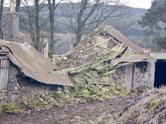
One of the main attractions of Baulk Hill is its rich biodiversity. The hill is home to a variety of plant and animal species, making it a haven for nature lovers and wildlife enthusiasts. Visitors may encounter grazing sheep, rabbits, and a diverse range of bird species during their exploration of the area.
Baulk Hill's location also offers a sense of tranquility and seclusion. Away from the hustle and bustle of urban life, it provides an opportunity for visitors to immerse themselves in nature and enjoy the peace and quiet of the countryside.
Overall, Baulk Hill in Perthshire is a beautiful and accessible destination for those seeking to enjoy the Scottish countryside. Its stunning views, diverse flora and fauna, and peaceful atmosphere make it a must-visit location for outdoor enthusiasts and nature lovers.
If you have any feedback on the listing, please let us know in the comments section below.
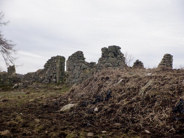
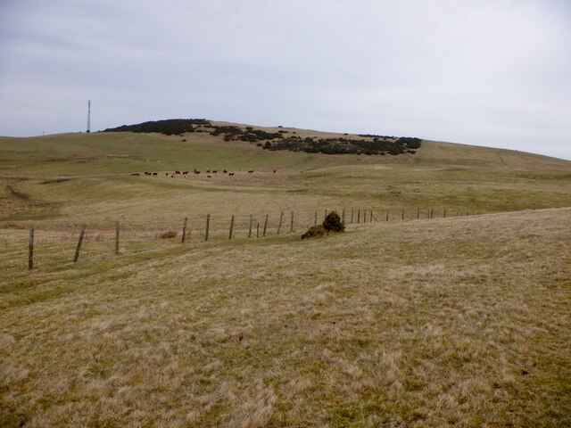
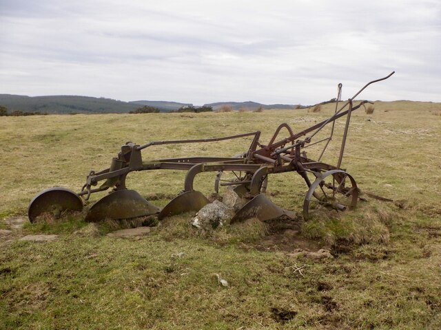
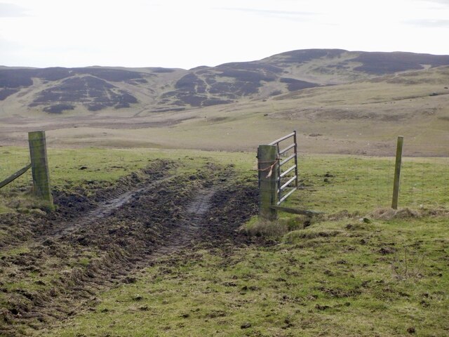
Baulk Hill Images
Images are sourced within 2km of 56.265477/-3.4916115 or Grid Reference NO0709. Thanks to Geograph Open Source API. All images are credited.


Baulk Hill is located at Grid Ref: NO0709 (Lat: 56.265477, Lng: -3.4916115)
Unitary Authority: Perth and Kinross
Police Authority: Tayside
What 3 Words
///grandson.dude.serenade. Near Milnathort, Perth & Kinross
Nearby Locations
Related Wikis

Orwell, Kinross-shire
Orwell is a parish in Kinross-shire, Scotland. It contains the market town of Milnathort, as well as the hamlet of Middleton. The name comes from the Gaelic...

Ochil and South Perthshire (UK Parliament constituency)
Ochil and South Perthshire is a county constituency of the House of Commons of the Parliament of the United Kingdom. It elects one Member of Parliament...
Abbots Deuglie
Abbots Deuglie () is a hamlet in Perth and Kinross, Scotland. It is located in the Ochil Hills, in Arngask parish, about one mile (1.5 km) west of Glenfarg...

Dalqueich
Dalqueich () is a hamlet in Perth and Kinross, Scotland. It lies approximately 3 miles (5 kilometres) west of Kinross, north of the A91 road on the North...

Innerdouny Hill
Innerdouny Hill (497 m) is a hill in the Ochil Hills of Perth and Kinross, Scotland. It is located northwest of the town of Kinross. The second highest...

Fothriff
Fothriff or Fothrif was a province of Scotland in the Middle Ages. It is often paired with Fife, not only in De Situ Albanie, but also in early charters...

Kinross-shire
The County of Kinross or Kinross-shire is a historic county and registration county in eastern Scotland, administered as part of Perth and Kinross since...

Middleton, Perth and Kinross
Middleton is a hamlet and farmstead in Perth and Kinross, Scotland. It lies approximately 3 miles (5 kilometres) north of Kinross, to the west of the M90...
Nearby Amenities
Located within 500m of 56.265477,-3.4916115Have you been to Baulk Hill?
Leave your review of Baulk Hill below (or comments, questions and feedback).