Craigmaid
Hill, Mountain in Peeblesshire
Scotland
Craigmaid
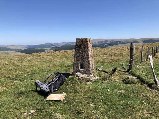
Craigmaid, located in Peeblesshire, Scotland, is a prominent hill/mountain that offers breathtaking views and a variety of outdoor activities for nature enthusiasts. Rising to an elevation of approximately 461 meters (1,512 feet), it is a popular destination for hikers and climbers.
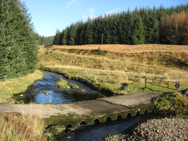
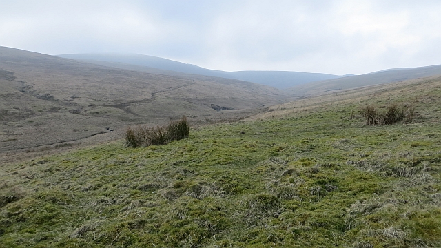
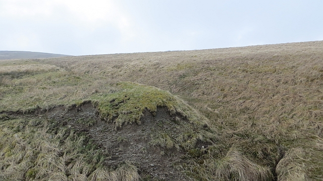
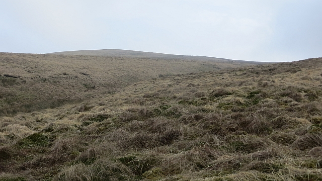
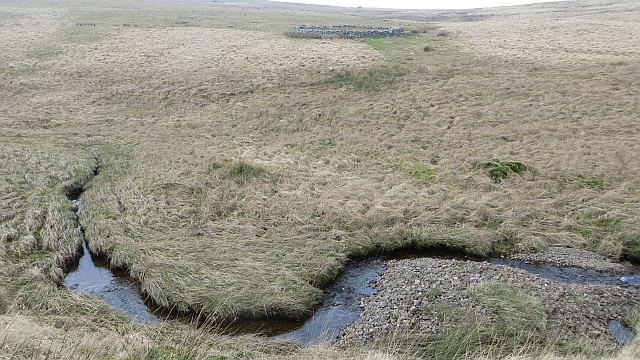
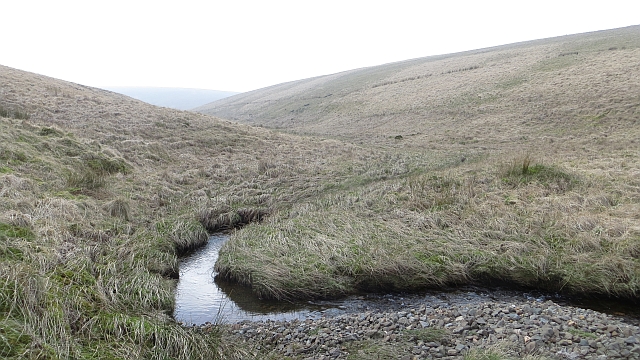
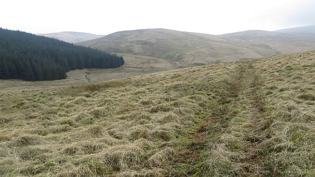
The hill/mountain is characterized by its rugged terrain, covered in heather and scattered with rocky outcrops. Its distinctive shape and prominent position make it easily identifiable from the surrounding landscape. The ascent to the summit can be challenging, but the rewarding panoramic views of the surrounding countryside, including the picturesque Tweed Valley and the rolling hills of Peeblesshire, make it well worth the effort.
Craigmaid is also known for its rich biodiversity and provides a habitat for various plant and animal species. The hill/mountain is home to a wide range of bird species, including raptors such as kestrels and buzzards, as well as smaller songbirds. Hikers may also encounter deer, rabbits, and other wildlife during their exploration.
Visitors to Craigmaid can enjoy a variety of activities, including hiking, hillwalking, and nature observation. The hill/mountain is easily accessible, with well-marked trails and paths leading to the summit. It is recommended to wear appropriate hiking gear and carry essential supplies, as the weather conditions can change quickly in the area.
In conclusion, Craigmaid in Peeblesshire is a picturesque hill/mountain offering stunning views, diverse flora and fauna, and a range of outdoor activities for nature lovers to enjoy.
If you have any feedback on the listing, please let us know in the comments section below.
Craigmaid Images
Images are sourced within 2km of 55.445021/-3.4645773 or Grid Reference NT0717. Thanks to Geograph Open Source API. All images are credited.


Craigmaid is located at Grid Ref: NT0717 (Lat: 55.445021, Lng: -3.4645773)
Unitary Authority: The Scottish Borders
Police Authority: The Lothians and Scottish Borders
What 3 Words
///insects.curls.shifters. Near Moffat, Dumfries & Galloway
Nearby Locations
Related Wikis

Fruid Reservoir
Fruid is a small reservoir in the Scottish Borders area of Scotland, UK, near Menzion. It is formed by damming the Fruid Water, and supplements the contents...

Fruid Water
Fruid Water is a river in the Scottish Borders area of Scotland. The valley it occupies has been dammed to form the Fruid Reservoir. The river is a tributary...

Hawkshaw, Scottish Borders
Hawkshaw is a pair of semi-detached houses on the River Tweed, two miles southwest of Tweedsmuir in the Scottish Borders. Historically part of Peeblesshire...

Annanhead Hill
Annanhead Hill is a 478-metre (1,568 ft) summit in the Moffat Hills of Scotland. It lies on the boundary between the Scottish Borders and Dumfries and...

Devil's Beef Tub
The Devil's Beef Tub (Marquis of Annandale's Beef-Tub, Beef-Stand, MacCleran's Loup) is a deep, dramatic hollow in the hills north of the Scottish town...

Moffat Hills
The Moffat Hills are a range of hills in the Southern Uplands of Scotland. They form a roughly triangular shape with a west facing side, a north facing...

Hart Fell
Hart Fell is a hill in the Moffat Hills range, part of the Southern Uplands of Scotland. It lies north of the town of Moffat on the border with the Scottish...

Talla Reservoir
Talla Reservoir, located a mile from Tweedsmuir, Scottish Borders, Scotland, is an earth-work dam fed by Talla Water. The reservoir is supplemented by...
Nearby Amenities
Located within 500m of 55.445021,-3.4645773Have you been to Craigmaid?
Leave your review of Craigmaid below (or comments, questions and feedback).