Grange Hill

Hill, Mountain in Peeblesshire

Scotland

Grange Hill

Old field boundary, Fingland Burn A corner in a group of mossy banks which would once have been enclosures.
Old field boundary, Fingland Burn Credit: Richard Webb

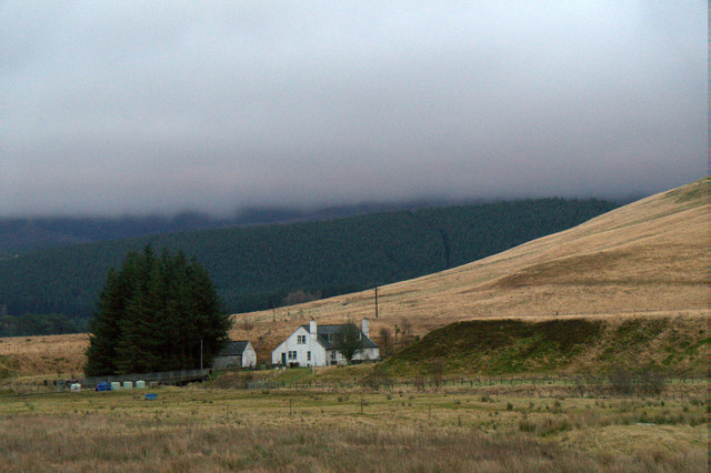
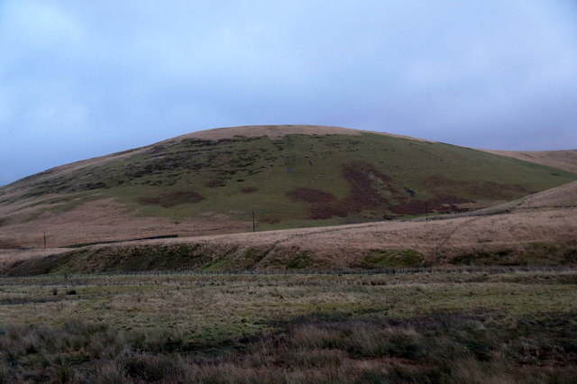
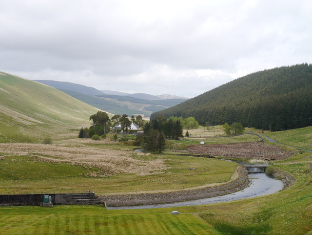
Grange Hill is a prominent hill located in Peeblesshire, Scotland. It stands at an elevation of approximately 450 meters (1,480 feet) above sea level, making it a significant landmark in the region. The hill is situated near the town of Peebles, which is about 30 miles south of Edinburgh.

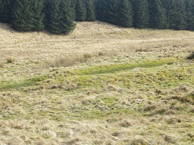
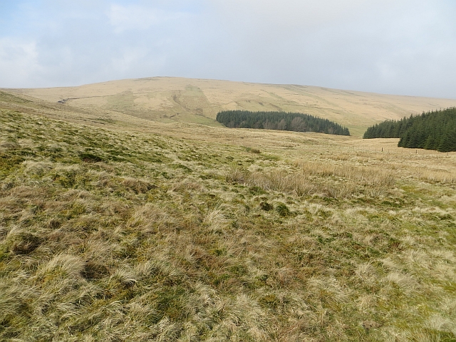
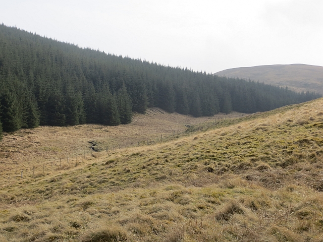
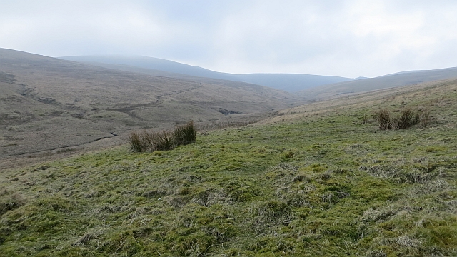
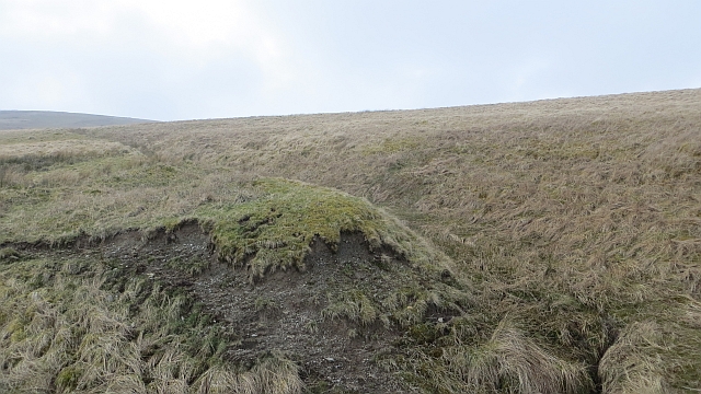
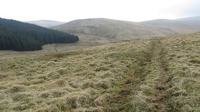
Grange Hill offers breathtaking panoramic views of the surrounding countryside, making it a popular destination for hikers and nature enthusiasts. It is part of the wider Pentland Hills range and is characterized by its rugged terrain, covered in heather and grasses. The hill is also home to a variety of wildlife, including birds, rabbits, and occasionally deer.

The summit of Grange Hill provides an excellent vantage point from which to admire the stunning landscapes of Peeblesshire and the Scottish Borders. On clear days, it is possible to see as far as the Firth of Forth and the distant peaks of the Southern Uplands.

The hill is easily accessible by foot, with several trails leading to the summit. It is a moderate hike, suitable for all fitness levels, and offers an enjoyable outdoor experience for visitors. The surrounding area is rich in history and heritage, with ancient ruins and archaeological sites nearby, adding to the charm and intrigue of Grange Hill.

Overall, Grange Hill is a picturesque and captivating natural landmark in Peeblesshire, offering visitors a chance to immerse themselves in the beauty of the Scottish countryside.

If you have any feedback on the listing, please let us know in the comments section below.

Grange Hill Images

Images are sourced within 2km of 55.473689/-3.466036 or Grid Reference NT0720. Thanks to Geograph Open Source API. All images are credited.

Old field boundary, Fingland Burn A corner in a group of mossy banks which would once have been enclosures.
Old field boundary, Fingland Burn
A corner in a group of mossy banks which would once have been enclosures.
Fingland Burn There are the remains of several enclosures here.
Fingland Burn
There are the remains of several enclosures here.
Along the Fingland Burn Edge of woodland which covers Glengonnor Hill.
Along the Fingland Burn
Edge of woodland which covers Glengonnor Hill.
Fingland Burn The burn drains the north side of Craigmaid.
Fingland Burn
The burn drains the north side of Craigmaid.
Cross drain dogleg What appears to be erosion deepened drains, now grassed over. The striking bend in the watercourse was mapped in the mid 19th century.
Cross drain dogleg
What appears to be erosion deepened drains, now grassed over. The striking bend in the watercourse was mapped in the mid 19th century.
Fingland Burn Quadbike track on Peat Hill above the Fingland Burn.
Fingland Burn
Quadbike track on Peat Hill above the Fingland Burn.
Fingland Burn Looking downstream from the side of Peat Hill.
Fingland Burn
Looking downstream from the side of Peat Hill.
River Tweed at Hawkshaw
Scottish Borders : The A701 Heading along the A701 through the Scottish Borders.
Scottish Borders : The A701
Heading along the A701 through the Scottish Borders.
Scottish Borders : The A701 Heading along the A701 through the Scottish Borders.
Scottish Borders : The A701
Heading along the A701 through the Scottish Borders.
Scottish Borders : The A701 Heading along the A701 through the Scottish Borders.
Scottish Borders : The A701
Heading along the A701 through the Scottish Borders.
Scottish Borders : The A701 The A701 and the surrounding hillside.
Scottish Borders : The A701
The A701 and the surrounding hillside.
Scottish Borders : The A701 Looking along the A701 as it heads through the Scottish Borders.
Scottish Borders : The A701
Looking along the A701 as it heads through the Scottish Borders.
Hawkshaw, Tweedsmuir
Nether Dod, near Tweedsmuir
The View From Fruid Dam Blacklaw Cottage, the Fruid Water (contained within an outflow culvert) and the Fruid access road can be noted in this view.
The View From Fruid Dam
Blacklaw Cottage, the Fruid Water (contained within an outflow culvert) and the Fruid access road can be noted in this view.
The Fruid Flyover A flyover (over the dam's outflow culvert containing the Fruid Water) takes a road to a small dam to the west which was built across the Hawkshaw Burn.
The Fruid Flyover
A flyover (over the dam's outflow culvert containing the Fruid Water) takes a road to a small dam to the west which was built across the Hawkshaw Burn.
Fruid Reservoir The reservoir was completed in 1969, and together with nearby Talla Reservoir and Megget Reservoir, provides water for the city of Edinburgh.
Fruid Reservoir
The reservoir was completed in 1969, and together with nearby Talla Reservoir and Megget Reservoir, provides water for the city of Edinburgh.
Show me another place!

Grange Hill is located at Grid Ref: NT0720 (Lat: 55.473689, Lng: -3.466036)

Unitary Authority: The Scottish Borders

Police Authority: The Lothians and Scottish Borders

What 3 Words

///gambles.resolved.chops. Near Moffat, Dumfries & Galloway

Related Wikis

Fruid Water

Fruid Water is a river in the Scottish Borders area of Scotland. The valley it occupies has been dammed to form the Fruid Reservoir. The river is a tributary...

Hawkshaw, Scottish Borders

Hawkshaw is a pair of semi-detached houses on the River Tweed, two miles southwest of Tweedsmuir in the Scottish Borders. Historically part of Peeblesshire...

Fruid Reservoir

Fruid is a small reservoir in the Scottish Borders area of Scotland, UK, near Menzion. It is formed by damming the Fruid Water, and supplements the contents...

Menzion

Menzion, sometimes Minzion is a small settlement in southern Scotland near Tweedsmuir in the Scottish Borders, in the valley of the River Tweed. ��2...

Have you been to Grange Hill?

Leave your review of Grange Hill below (or comments, questions and feedback).